KirtDavis
Offline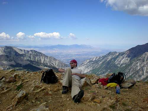
| Gender/Age | Male, 48 years old |
|---|---|
| Location | Roy, Utah, United States |
| Power | 53 |
| Vote Weight | 68.97% |
| Occupation | Lab Rat |
| Website | http://www.bogley.com |
A Little About Me
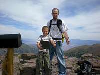
Some friends and I have plans to bag all of Utah's County Highpoints, as well as all the peaks above 13,000'.
By the time I am finished with the goal, my son will be old enough to go, so I will have to start over again!
Utah County Highpoints Bagged:
Signal Peak - Washington County
10,365' 5-21-06
Kings Peak - Duchesne County
13,528' 8-21-06
Gilbert Peak - Summit County
13,442' 8-22-06
Thurston Peak - Davis & Morgan Counties
9,706' 7-04-07
Ibapah Peak - Juab County
12,087' 7-28-07
Bridger Peak - Rich County
9,255' 9-03-07
Naomi Peak - Cache County
9,979' 9-10-07
Bluebell Knoll - Wayne County
11,328' 10-12-07
Brian Head Peak - Iron County
11,307' 10-12-07
Andy Nelson Peak - Kane County
10,027' 10-12-07
Fish Lake Hightop - Sevier County
11,633' 10-13-07
Monument Peak - Carbon County
10,452' 10-14-07
Mount Cardwell - Wasatch County
10,743' 11-07
Deseret Peak - Tooele County
11,031' 7-12-08
East Mountain - Emery County
10.743' 8-15-08
South Tent Mountain - Sanpete County
11,285' 8-16-08
Mount Waas - Grand County
12,331' 8-5-09
Mount Peale - San Juan County
12,721' 8-6-09
Mount Ellen - Garfield County
11,522' 8-17-09
Mine Camp Peak - Millard County
10,222' 8-18-09
Delano Peak - Beaver & Piute Counties
12,169' 8-18-09
Bull Mountain - Box Elder County
9,934' 8-22-09
A.F. Twin Peaks - Salt Lake County
11,489' 8-26-09
Mount Nebo - Utah County
11,928' 9-3-09
Willard Peak - Weber County
9,764' 9-6-10
Highpoints left to do:
Eccetric Peak - Daggett & Uintah Counties
12,276'
Other Peaks bagged:
Ben Lomond
Lewis Peak
Frary Peak
Mt. Ellen Peak
Hidden Peak
Red Mountain
Red Baldy
Hiking buddies
Shphilby
RickDavis
KoryDavis
SummitPosters met on the trail
MOCKBA - Signal Peak
Dean - Gilbert Peak
DennisPoliun Gilbert Peak
madsjim - Ibapah Peak
Utah Outdoor Forums
New Page 1
UUtah.com
New Page 3
697
My Images

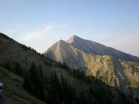
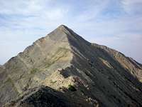
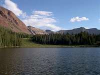
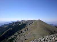
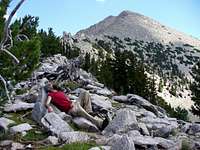
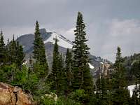
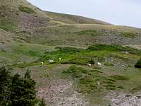

My Mountains & Rocks (3)
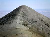
- Andy Nelson Peak
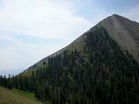
- Malan's Peak and Basin Wasatch Range (North)
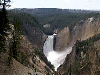
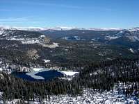
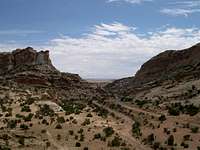
- Monument Peak Utah County Highpoints
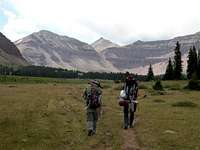
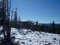
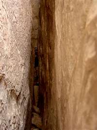
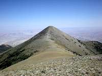
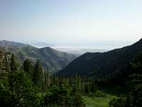
My Trip Reports (19)
- 14th Highpoint Bagged Deseret Peak
- Chased down Mt. Peale Mt. Peale
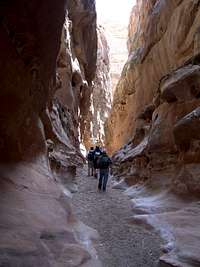
- Crack in Spring Crack Canyon
- East Mountain East Mountain (UT)
- Escape from Family Reunion Dinosaur National Monument and Vicinity
- Frary Peak II Frary Peak (Antelope Island)
- Gilbert and Kings Peak Gilbert Peak
- Ibapah Ibapah Peak (UT)
- Kings and Gilbert Peak Kings Peak
- Lewis Peak Lewis Peak
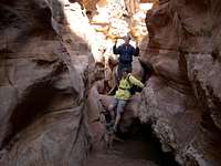
- Little ones in Little Wild Horse Little Wild Horse and Bell Canyons
- Mount Ellen Mount Ellen (UT)
- Mt. Waas via Beaver Basin Mount Waas
- Naomi Peak Naomi Peak
- Ol' Ben Ben Lomond
- Signal Peak Signal Peak
- The Runt Bridger Peak
- Thurston ID-07 Thurston Peak
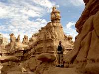
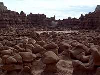
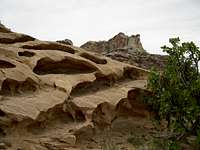
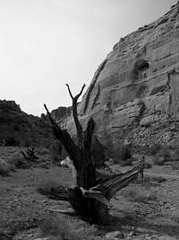
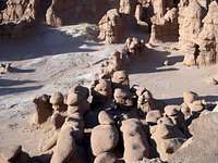
- What do Hoodoos? Goblin Valley
My Albums (7)
- AF Twin American Fork Twin Peaks
- Delano Delano Peak (UT)
- Goblin and Arches Roadtrip
- Mine Camp Peak Mine Camp Peak (UT)
- Mt. Nebo Mount Nebo
- My Hikes
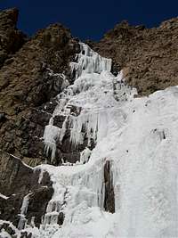
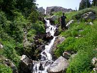
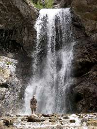
- Waterfall Canyon Waterfall Canyon Ogden
My Gear Reviews (2)
- Alpine Explorer Hydration Packs
- Red Hawk 5000 Backpacks
Climber's Logs I've Signed (51)
Mountains & Rocks (34)
- Willard Peak Utah County Highpoints
- Mount Nebo Utah County Highpoints
- Hidden Peak (Utah) Little Cottonwood Canyon
- Red Baldy Wasatch Alpine Ridge
- American Fork Twin Peaks Utah County Highpoints
- Bull Mtn (UT) Utah County Highpoints
- Delano Peak (UT) Utah County Highpoints
- Mine Camp Peak (UT) Utah County Highpoints
- Mount Ellen (UT) Utah County Highpoints
- Mt. Peale Utah County Highpoints
- Mount Waas Utah County Highpoints
- Mt. Cardwell, UT. Utah County Highpoints
- Malan's Peak and Basin Wasatch Range (North)
- Eccentric BM (Chepeta Peak) High Bollies/Eastern Uintas
- South Tent Mountain (UT) Utah County Highpoints
- East Mountain (UT) Utah County Highpoints
- Deseret Peak Utah County Highpoints
- Mount Ogden Wasatch Range (North)
- Monument Peak Utah County Highpoints
- Andy Nelson Peak
- Fish Lake Hightop Utah County Highpoints
- Kane COHP (UT) Utah County Highpoints
- Bluebell Knoll/Boulder Mtn (UT) Utah County Highpoints
- Brian Head Peak Utah County Highpoints
- Naomi Peak Utah County Highpoints
- Bridger Peak Utah County Highpoints
- Ibapah Peak (UT) Utah County Highpoints
- Thurston Peak Utah County Highpoints
- Lewis Peak Wasatch Range (North)
- Frary Peak (Antelope Island) Utah Western Desert Ranges
- Kings Peak Kings-Emmons Ridge
- Gilbert Peak High Uintas Wilderness
- Signal Peak Utah County Highpoints
- Ben Lomond Wasatch Range (North)
Routes (15)
- Willard Basin Willard Peak
- North Route Mount Nebo
- East Ridge Red Baldy
- East Ridge American Fork Twin Peaks
- Poison creek Delano Peak (UT)
- South ridge trail Mount Ellen (UT)
- La Sal Pass Mt. Peale
- Beaver Basin - via Waas-Green saddle Mount Waas
- Oak Grove Signal Peak
- Granite Creek Ibapah Peak (UT)
- Tony Grove Naomi Peak
- South Willow Creek Route Deseret Peak
- Henry's Fork via Anderson Pass Kings Peak
- Farmington Ridge Thurston Peak
- Skyline Trail (North Ogden Pass) Ben Lomond
Canyons (2)
- Crack Canyon San Rafael Swell
- Goblin Valley San Rafael Swell
My Lists
Content loading here...
Messages I Posted/ Editable Objects
Reviews I Posted/Reviews Posted to my Gear
Objects Others Have Attached to My Objects
Content loading here...
Photos Others Have Attached to My Objects
Content loading here...