Often times when heading out to the mountains on a nice clear sunshiny day I don't expect things to go wrong. But every now and then I get one of those trips where adventure finds me. This was another round of exciting fun with bush whacking, getting lost in the dark, sliding on slippery shrubs, and everyone's favorite! Sleeping out on a steep slope. But hey, who said I wanted a tame adventure? Sometimes going through all the troubles in the end become worth while, especially when you learn from it.
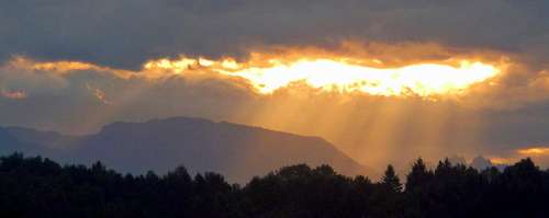
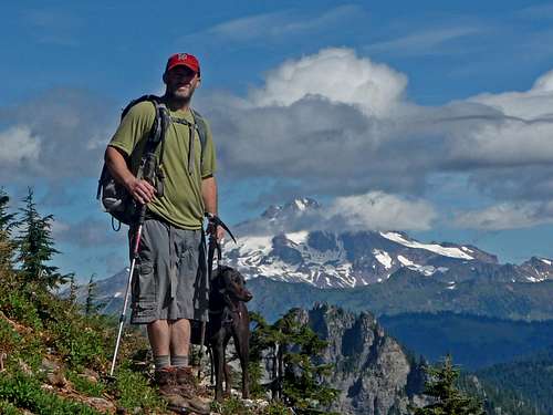
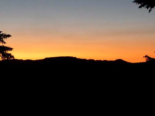
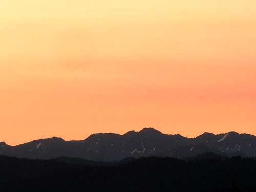
The adventure started out as the usual bus ride to the city of Gold Bar to meet my partner for the trip. On the way there the sunrise was looking quite beautiful, especially the golden sun beams on Mount Zekes and the red colors I saw on Mount Rainier. I was in for some stellar weather. In Gold Bar I met up with my partner Scott to head out to the trailhead. "I'm the kind of guy who isn't so much worried about where we are going, so long as were having an adventure" Scott announced.
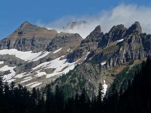
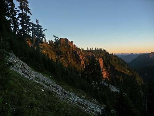
Sun Beams over Mount Zekes
Hiking up Kyes
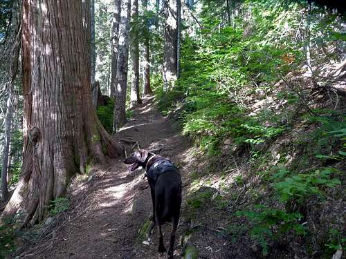
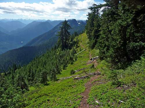
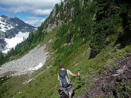
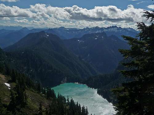
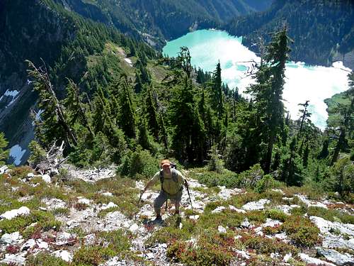
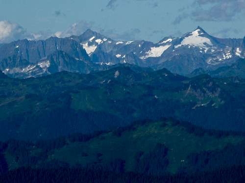
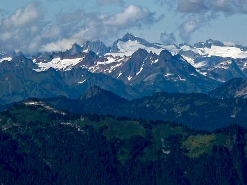
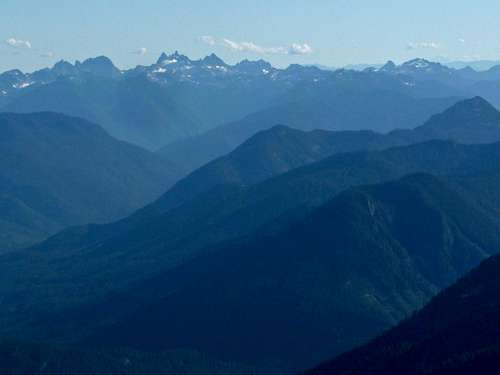
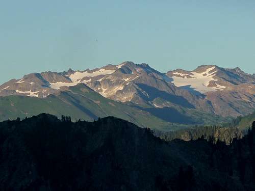
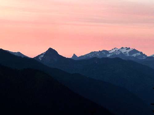
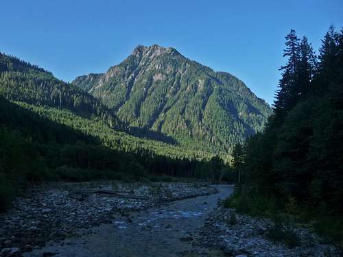
The trip started out as a nice hike in the woods switch backing up the side of the mountain. A few miles later as we get near Virgin Lake, the views of Kyes Peak come out of the clouds as well as Glacier Peak and Columbia Peak. From Virgin Lake we start heading off the main trail and onto the beaten path.
The Trail Starting Out
Hiking towards Virgin Lake
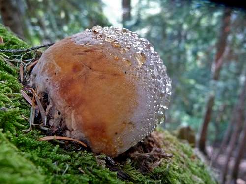
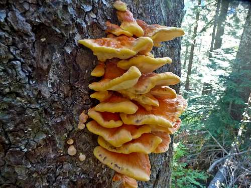
Wet Fungus
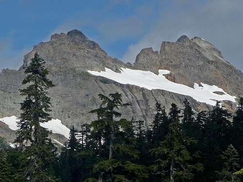
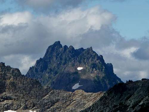
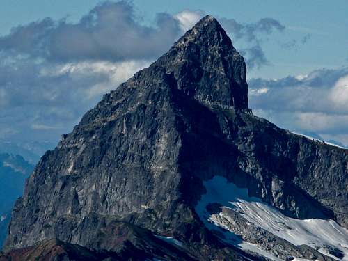
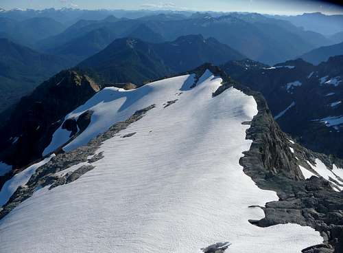
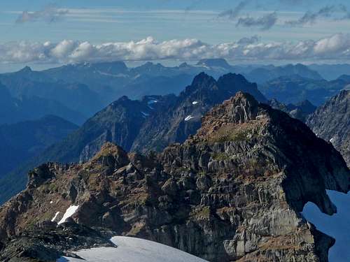
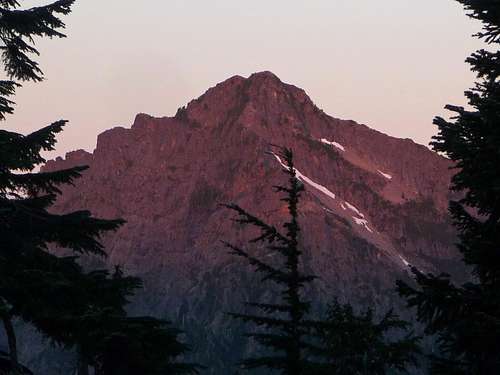
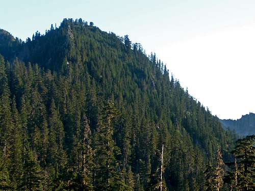
Kyes Coming out of the Clouds
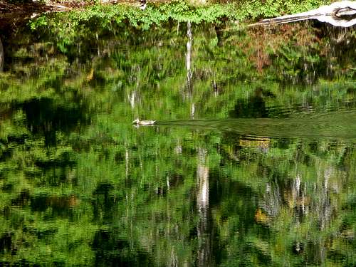
A Swimming Duck
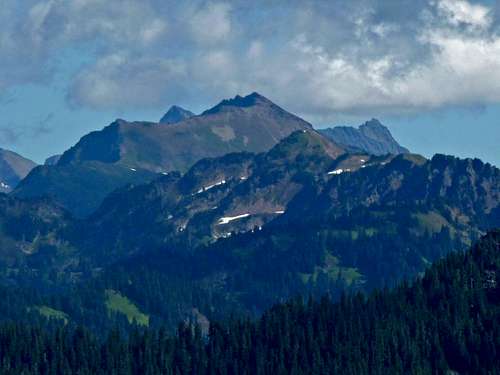
Columbia Peak with Trees
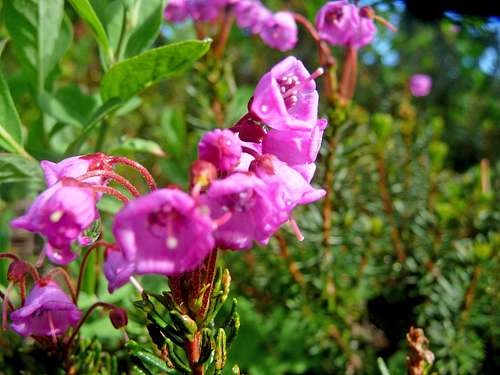
Purple Flowers
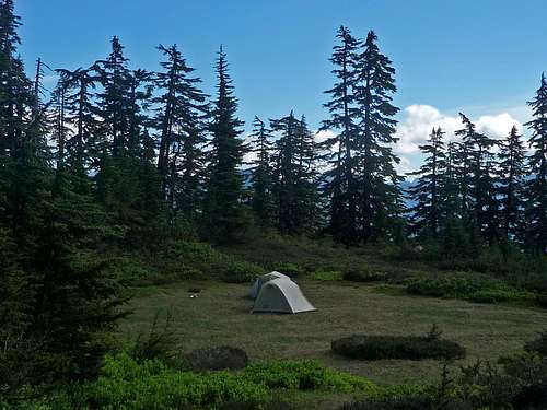
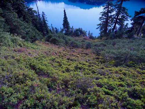
Camping in the Meadows
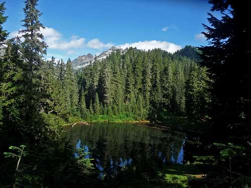
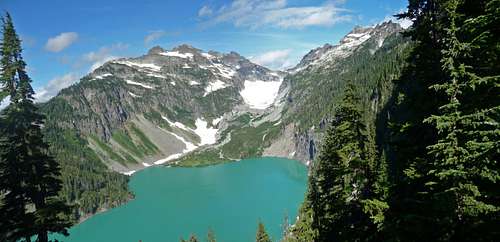
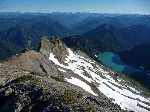
Virgin Lake with Kyes
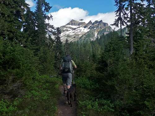
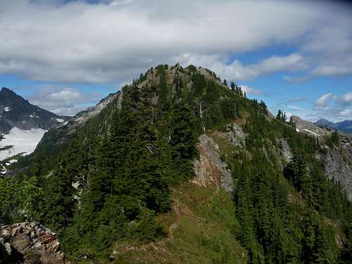
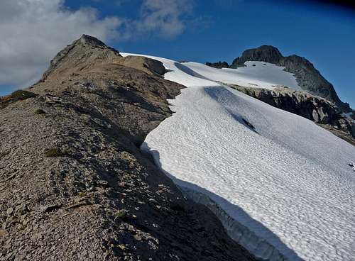
Approaching Kyes Peak
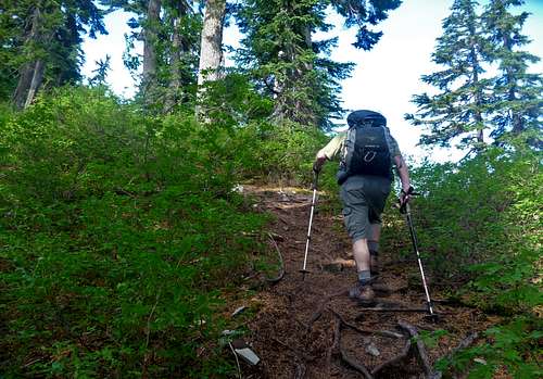
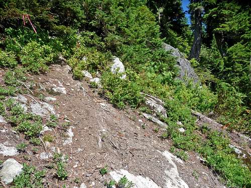
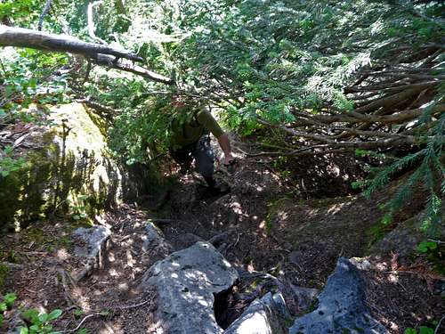
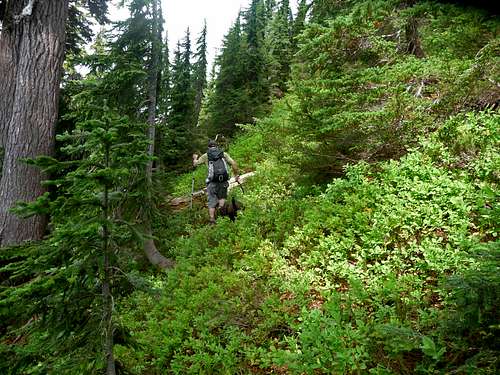
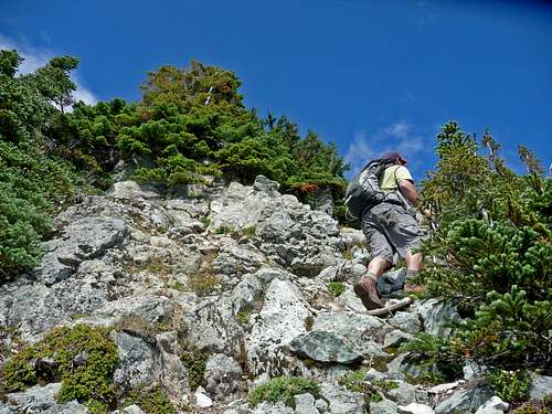
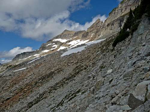
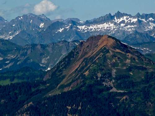
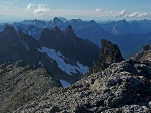
As we get higher the bugs start to come out making stops a bit less enjoyable. In some places the trail becomes narrow and sometimes hard to find. Fortunately there are a few spots that are flagged on the trees to help guide the way. There are a few spots that may be considered class 3 scrambling even though its in the woods, but is manageable for most mountaineers. After this we get out of the forest and onto the top of the south ridge.
Looking South East
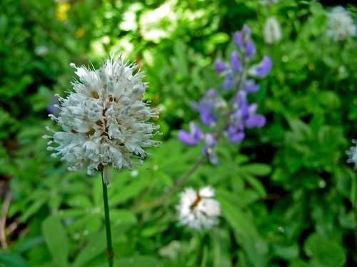
White Flower
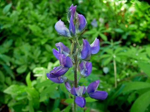
Purple Lupine
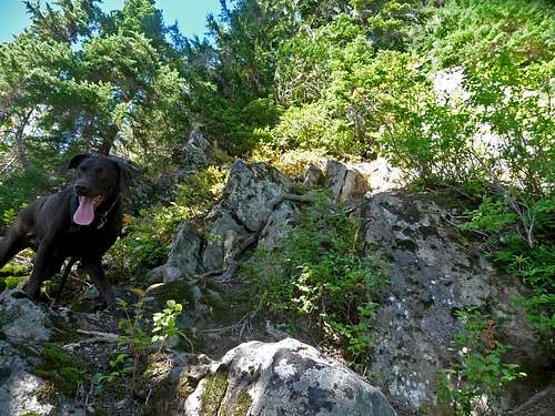
Happy Dog on the Scramble
Follow the Markers
Looking Down the Scramble
Looking East
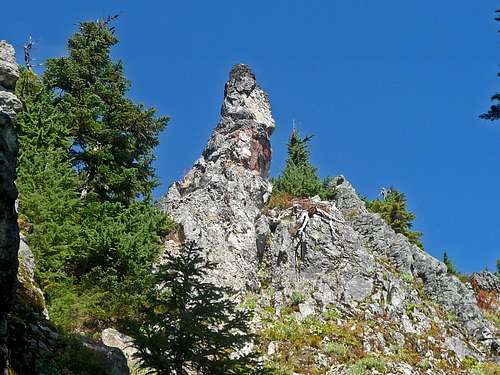
Rock Spire Above
Looking West
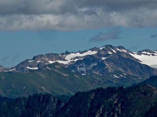
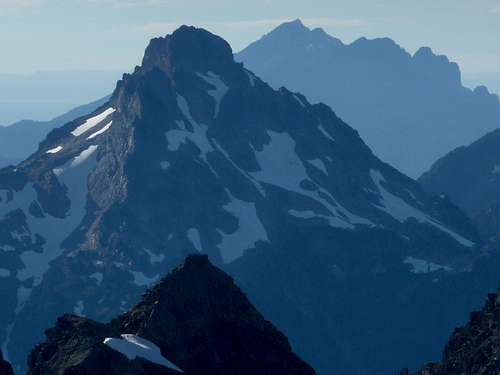
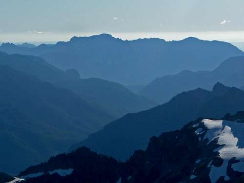
Columbia Peak with Blanca Lake
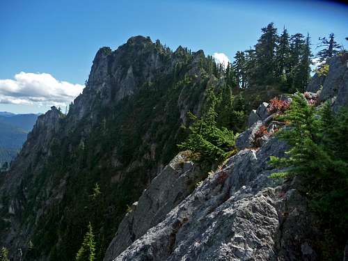
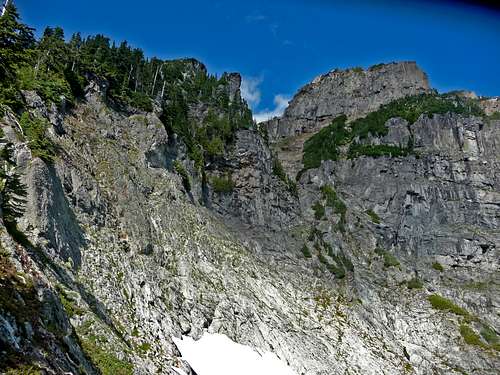
From here we head down the saddle and take a left off the path in order to avoid the rugged ridge. This is where the brushy parts begin which unfortunately we loose a bit of elevation to a rock field. This part was kinda annoying, not because of the bush whacking so much as the slippery blue berry bushes. In some spots if your not careful, you will go sliding down a little ways. After the bush whack section we climbed back up onto the ridge which had we been on the ridge the whole time there would have been cliffs and exposure.
Peak to the East
The Lonely Mountain
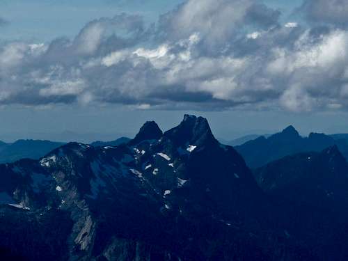
Kololo Peaks in the Distance
The Friendly Booth Path
The Ridge Up Ahead
Looking Back at the Ridge
Looking Towards Sheep Gap
Scott with Glacier Peak
Heading Down to the Left
The Easier part of the walking through Blue Berry Bushes
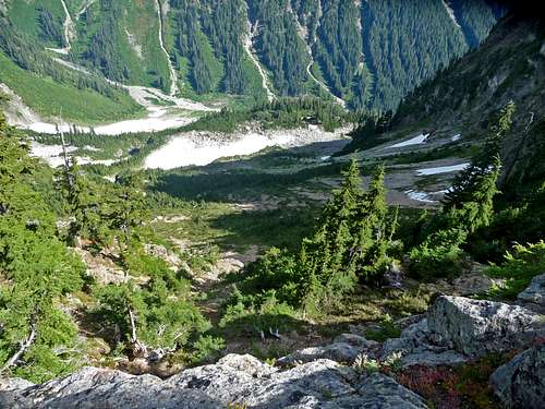
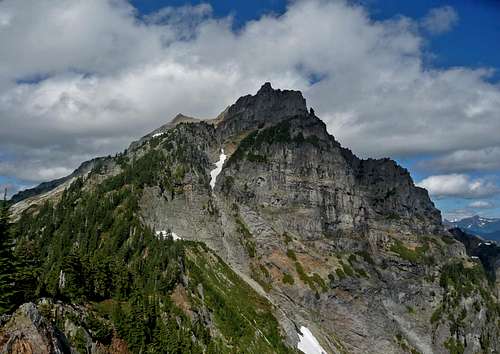
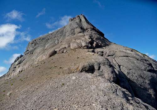
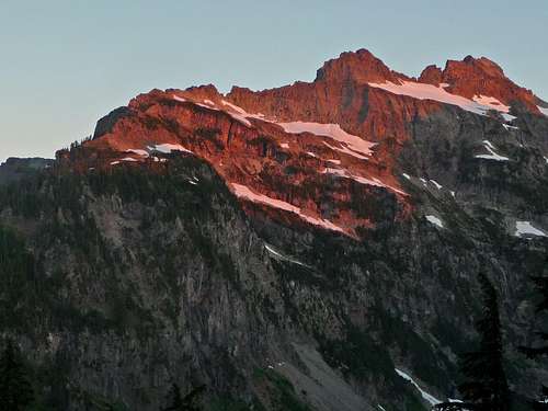
Then we started up a series of switch backs up the mountain with some occasional bush whacking. The trail kept going up the mountain more and more, making me wonder if we were on the right pathway for the summit. Worst case scenario if we don't make it, we'll be enjoying some great views from a high point. A little ways further I caught a glimpse of the boulder field near the summit which meant that we where going in the right direction. After a bit of a traverse we scramble over onto the boulder field.
Looking Down Below
Heading up
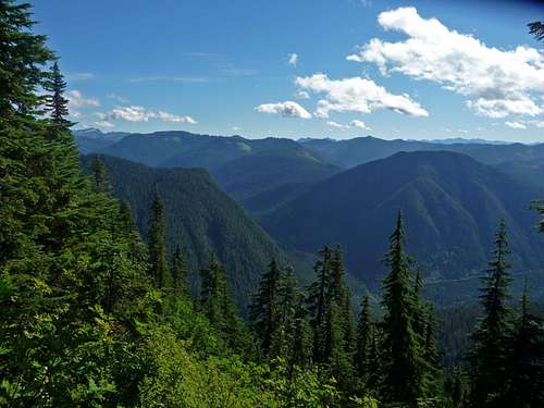
The Views to the South
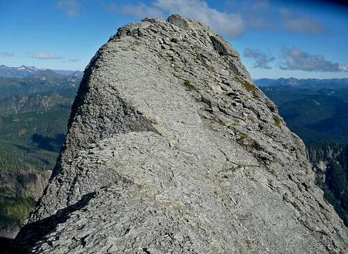
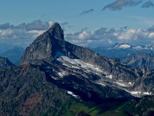
South Face of Kyes Peak
Looking up Kyes Peak
Looking Down towards Blanca Lake
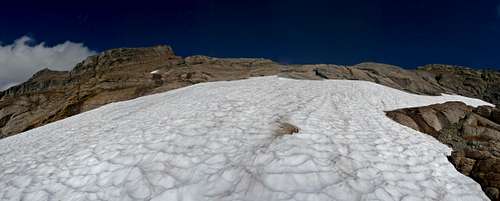
The Boulder Field
Scott has already summited Kyes Peak before and had his dog along making him worried about the summit pyramid. We both knew that we were not far from the summit so he allowed me to go on by myself to the summit. Thank goodness Scott purified some water for me which would come in handy for the later part of the adventure.
Round About near the Summit
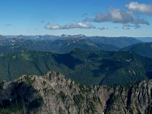
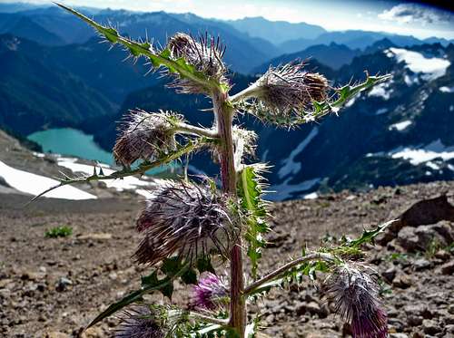
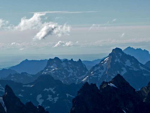
From here it was a easy scramble/ hike up the ridge to the summit block. Although it was only class 2/3, I didn't like the loose rocks on it. But I suppose it has an illusion to how steep it looks in comparison to how it actually is. After a few more careful steps I reached the summit. The views were pretty good with views of the entire Mountain Loop Highway region and peaks that are visible from Highway 2. After a few pictures and snacks, it was time for me to head down.
Spikey Plants
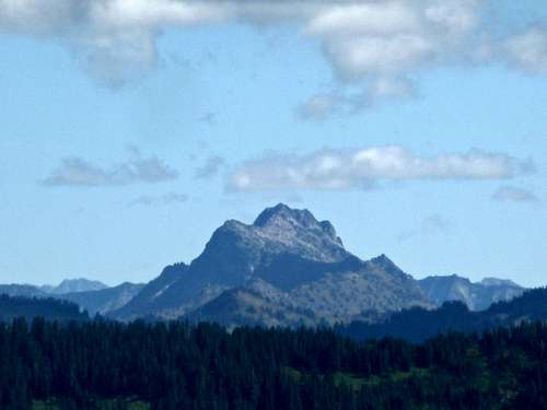
Foggy Peak
The Summit Ridge
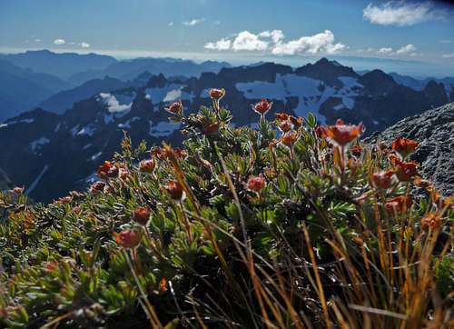
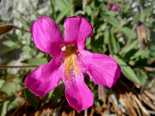
Flowers on the Summit
Flowers near the Summit
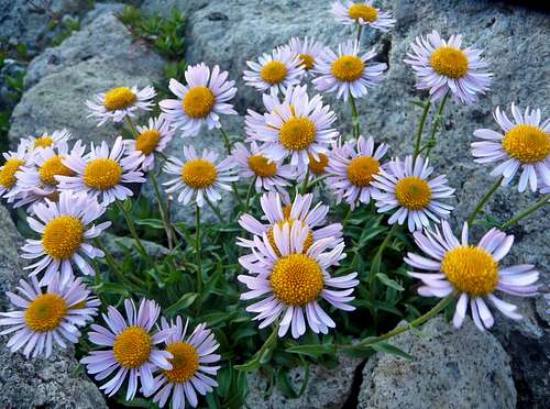
Beautiful Daisies Near the Summit
The Last Few Steps
Sloan Peak's Upper Slopes
Looking towards Big Four
Views to the South
Del Campo Peak with Mount Pilchuck
The Olympics Above the Ridge
White Chuck Mountain
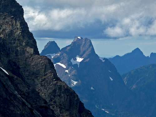
Forbidden and Sahale
Looking towards Eldorado Peak
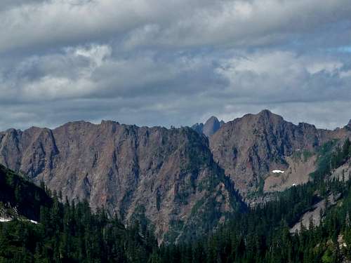
Gothic and Del Campo Peak
Red Mountain to the North
Blue Ridges to the South
Mount Index and Persis
Looking North West
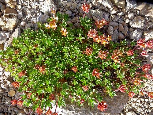
Pink Flower
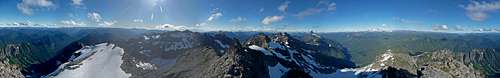
Summit Panorama of Kyes Peak
The Gap
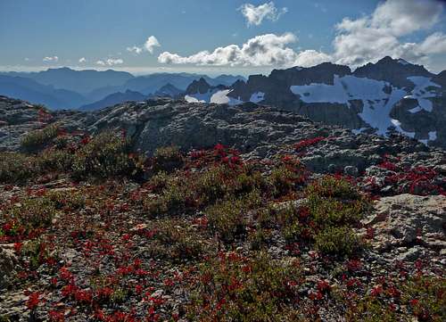
Fall Colors near the Summit of Kyes Peak
Big Four's South East Face
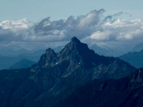
Monte Cristo Peak
Sloan Peak's South Face
A half hour or so later I meet back up with my partner and we carefully go down the mountain. At first we accidentally went down the wrong ridge and had to go back up. Once we found the path again things went fairly smooth until we got back to the bush whacking. I made attempts to avoid the bush whacking by going on slippery blue berry bushes which was almost as bad. Great that I didn't have bushes in my face, but terrible footing. We did a little bit of slipping and sliding.
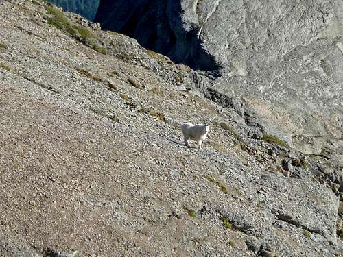
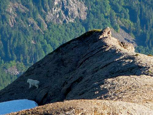
Goat on Kyes
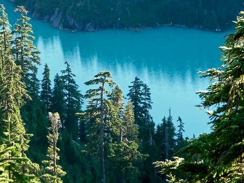
Blanca Lake with Cliffs
Goat Running Off
Looking Down the Basin
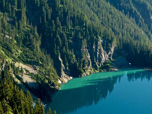
What a Blue Looking Lake
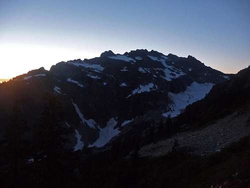
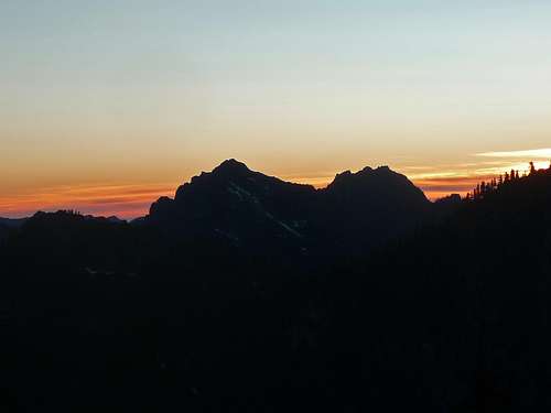
The sun was starting to set behind the ridge which meant that we had to make good time. We had one last 400 feet of elevation gain with more loose grounds that required grabbing onto more bushes to hold yourself from slipping. At last we reach the top of the ridge which it is already starting to become evening. All around I can hear the sounds of crickets which gave the atmosphere of the place a great feeling of remoteness. People don't come here very often after all. "I get the feeling I'm going to miss the bus home" I told Scott knowing that it was literally impossible for me to make it in time.
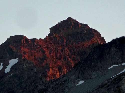
Columbia Peak during Evening
Sunset from Kyes
Looking Down the Meadows
Indian Head during Evening
Sunset on Mount Index
Sunset on the Ridge
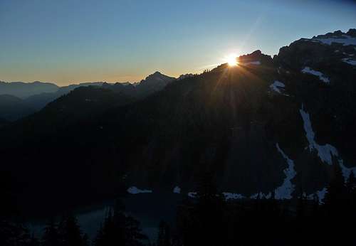
The Sun Setting Behind the Ridge
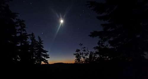
Getting "Lost" at Night
After walking along the boot path it suddenly got very tricky to find the way. There were several deer paths that looked exactly like the boot path, but then would suddenly come to a dead end. "Where could it be?" we were both wondering. "I found the way" I yelled to Scott excitedly. "Good, hope we don't have to deal with much more of this" he replied. A moment later the trail just went straight down into the woods which did not feel right. We followed along what looked exactly like a boot path, as we crossed over a rock section the entire ground broke way under my feet. The only reason I did not fall down with the rock was because I was holding onto the rock above. A moment later it was once again another false trail.
When your in a mountaineering situation that is going no where you have to keep making decisions, even if they are the wrong ones. If you don't, nothing get accomplished and your essentially stuck. I decided to do a test run to see how it was below, I would use trees and branches for veggie belays down. Suddenly it started getting real steep which concerned me, I knocked a rock down which I heard it keep on bouncing down the mountain in the pitch black woods. This was not the place to fall! As I went down it was getting dangerously steep which I finally decided I had to go back up.
There were quite a few other cases where we had to go up and down trying to figure out where the path was. We knew exactly where we had come from, but could not find the path. It literally is almost as if your on trail and it disappears into thin air. Eventually I decide to take initiative and traverse the slope in hopes to meet up with the trail which of course was also a bush whack. As we pressing on upwards Scott is becoming quite tired (most people would be) and we came to a spot were we where surrounded by cliffs. "Ugghhhh this is not going well", I whispered to myself. "Josh. Can we please stay the night out here? This is becoming too much.". "Can I check up above us?". "Do you have to?". "Alright, I don't have to" I reply in knowing that it's going to be a cold night. The crummy thing about our spot was not only where there cliffs around, but hardly any room to sleep on the sloped ground.
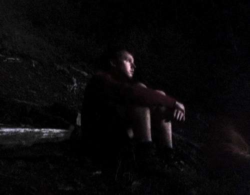
It was a very restless night of being kept up. At first I was paranoid of the slightest noises of bushes around, but eventually that went away. "I picked a bad time not to bring my long pants" I announced to myself as I wrapped my jacket around my legs. Chuckling I told Scott "Well we came for what we asked for, an adventure". I think he may have laughed at that. Eventually I managed to get 40-60 minutes of sleep until I heard Scott shivering a lot. I eventually offered up my jacket because he had no long sleeve shirt nor long pants. This is going to be a long night.
A Night in the Wilderness
Waiting for the Sunrise
Many hours later of waiting I started getting very thirsty. Scott had long since run out of water which meant that my 1/3 of a liter had to last between the two of us. After a full day of warm weather the previous day it had drained a lot of water out of us making us very thirsty. Being crunched up for so long on a balancing slope really makes one appreciate a nice warm bed later on. Finally we start seeing faint colors of light in the sky which we wait over an hour more for just enough light to be able to see.
Sunrise Colors
Hiking out the Next Day
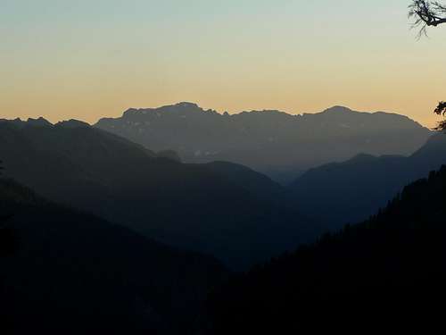
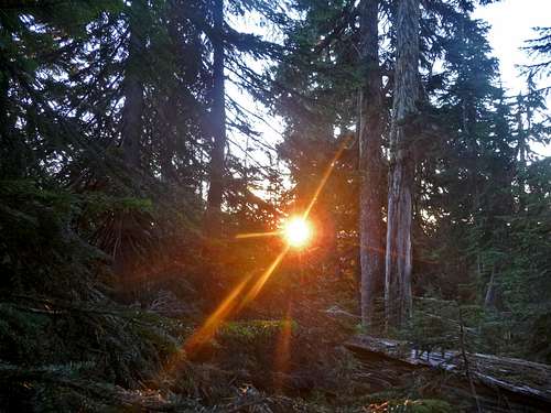
The funny irony is that we were less than 200 feet from the boot path which it was right above us. It was humorous to find it which with light on it makes traveling it way easier. The sunrise put on quite the display that morning as we traveled down the ridge to Virgin Lake.
Sunrise through the Trees
Alpenglow on Columbia Peak
Sunrise on Kyes Peak
Big Chiwakum during Sunrise
Pink Sky over Mount Daniel
Columbia Peak during Sunrise
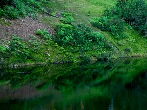
Lush Green Reflection
Where we stayed the Night
Mushrooms on a Tree
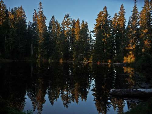
Virgin Lake Reflection during Sunrise
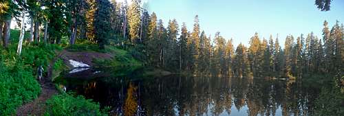
Virgin Lake Panorama during Sunrise
From Virgin Lake it was another 3 miles or so of hiking down to the car which is so much easier on real legitimate trail. The rest of the walk down was pleasant and uneventful. From the trailhead Scott took me over to his house which I enjoyed some nutter butters and a big glass of milk. Oh what a joy it was. And then I took the bus back home to get some well deserved rest. What an adventure!
to bivy. In a similar situation hiking out in the dark woods after an ascent of gnarly Nooksack Tower a guy fell down a "small" cliff and died. Took a side trail off the better trail in the dark. "had to be at work the next day" He missed more than 1 day of work. I think it's in "Accidents in North America" 1984 or 1985.
Children refers to the set of objects that logically fall under a given object. For example, the
Aconcagua mountain page is a child of the 'Aconcagua Group' and the 'Seven Summits.' The
Aconcagua mountain itself has many routes, photos, and trip reports as children.
Parents refers to a larger category under which an object falls. For example, theAconcagua mountain page has the 'Aconcagua Group' and the 'Seven Summits' asparents and is a parent itself to many routes, photos, and Trip Reports.


Comments
Post a Comment