-
 22174 Hits
-
 82.48% Score
-
 15 Votes
|
|
Mountain/Rock |
|---|---|
|
|
46.58544°N / 8.40639°E |
|
|
Mountaineering, Trad Climbing, Sport Climbing |
|
|
10396 ft / 3169 m |
|
|
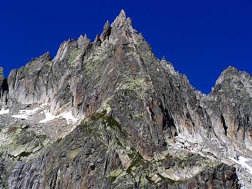
 Gross Furkahorn from the east. Photo by gabriele
Overview
The Gross Furkahorn with its spectacular summit pinnacle is located about 3 kilometers north of Furkapass. The south and east side of the peak are a climber's paradise on fantastic granite with three alpine and over 50 established sport climbing routes. Most of the sport routes do not extend to the summit, but can be combined in such a way as to reach it. The ESE Ridge is a highly recommended alpine rock climb of IV+. Climbs of and on the peak can easily be done in one day from the parking area near Furkapass.
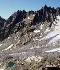
The summit pinnacle can be approached without difficulty from the west in two to three hours from the Hotel Belvedere. There is then about 30 meters of grade III climbing to the top of the pinnacle. This was the route of the first ascent of Gross Furkahorn by P. Almer and J.A. Luttman-Johnson on 6 August 1896.
Getting There
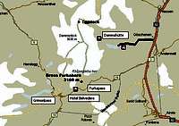
Furkapass is located on the main road between Andermatt and Oberwald. There is bus service over the pass, but the schedule is inconvenient for a day climb. Thus if one does not have an automobile, an over night stay at or near the pass would probably be required.
The way to the peak from the parking area near the Refuge Furka is well marked and easy to follow.
Topo Map: Go to Swiss Geo (link below). In the box upper left, click on "Themen"; among the choices that appear, click on "Unterkunft" and in the next menu "Hotel". Enter "Tiefenbach" in the name box and bring up the map. Clicking west twice brings one to Furkapass and Gross Furkahorn at this scale.
Swiss Geo Maps
Routes Overview
Summit Routes:
1) ESE Ridge. This is the classic route on the peak, a fantastic narrow exposed ridge with excellent rock. It is frequently done and highly recommended. UIAA IV+, 3.5 to 4 hours.
First Ascent: A. Hitz and Thomas Montigel on 25 September 1908.
2) From the west. An easy hike and scramble (L) to the base of the summit pinnacle, then about 30 meters of III to the top.
First Ascent: 6 August 1896 by P. Almer and J.A. Luttman-Johnson.
3) E-Sporn. A route straight up the east side of the ESE Ridge which meets the ridge crest at about 3/4 height. UIAA VI, very well protected, 3 to 4 hours.
4) Evalin Route TD, UIAA VII, 11 pitches (same as E-Sporn?)
First Ascent: S. Inderkum and E. Renner, 1968
CLIMBING PHOTOS ESE RIDGE
Sport Climbing:
The plates at the base of the south side of the peak, the Wandfussplatten, have about 50 sport climbing routes (with more undoubtedly being put up on occasion) ranging from 4+ to 7+ in difficulty. There are 5 routes on the south side of the ESE ridge. Four of these meet the ridge crest at about half way and one leads to the base of the summit pinnacle.
Descent of the peak can be made via the west side route, or if one wishes to return to Furkapass, there is a rappel route to a prominent ledge on the south side. This ledge and several others lower down are also the walk-off descent routes for most of the sport climbs.
Overnight
If one has an automobile available Furkapass can easily be reached in a short time from any of several towns or villages on either side of the pass - even from as far as Andermatt or Meiringen.
There is a refuge on the pass, Refuge Furka. However, at this time it is closed. I do not know if the closure is permanent. One would need to check prior to planning to stay.
Otherwise, there are three hotels very near the pass:
Hotel Tiefenbach
Hotel Belvedere
The mountain can also be accessed from the Sidelenhutte
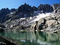
Camping in the basin below the south side of the mountain is another option.


