|
|
Mountain/Rock |
|---|---|
|
|
43.85640°N / 114.7932°W |
|
|
9367 ft / 2855 m |
|
|
Overview
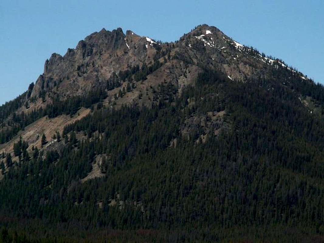
Peak 9,367 is located in the southern stretches of the infamous Sawtooth Mountains in central Idaho.
This peak could very well be the Sawtooth's lost peak. It is an impressive mountain but forgotten by climbers in the area. Three words would describe the climb up this mountain, steep, short, and technical.

Although the elevation is not much to talk of, Peak 9,367's east and west faces drop dramatically in the valleys beneath providing outstanding scenery.
Peak 9,367 sits high on a ridgeline that divides Smiley Creek and Frenchman Creek, the two streams at the headwaters of the Salmon River, the longest undamned river in the lower 48 states.
A climb up this mountain will test even the most experienced climbers with scrambling and route finding skills. But because it resides near the heart of the Sawtooth, it is overlooked completely by climbers and scramblers. It is rarely ever climbed, if at all.
The easiest route up the peak requires a difficult class 3 climb through gullys and steep pitches.
Getting There
The easiest access would be from Ketchum and Sun Valley Idaho, whose local airport is 13 miles south.
Requirements For Access

From Ketchum, drive north on Highway 75 thiry-five miles up and over Galena Summit. Descend down into the Sawtooth Valley and look for a sign to your left marking "Smiley Creek Cutoff."
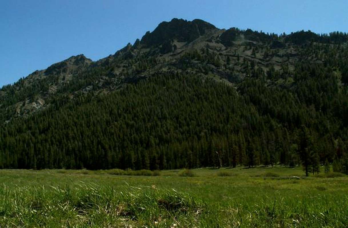
Take this improved dirt road over a small ridge into Smiley Creek Valley. After 2-3 miles the road breaks out through the forest into a wide open marsh at the base of Peak 9,367.
Continue past the summit of Peak 9,367 to the point where a small stream leads down to the saddle that sits near 8,600', or about 3.3 miles from where the road left Highway 75.
Find an open area and park here.
Frenchman Gully Route
From the parking area, slip on your wading boots and begin making your away across the valley. Soon you will need to cross Smiley Creek, a large, yet mellow river the snakes its way down the canyon.
After you have crossed the river keep your boots on and continue heading toward the spot where the small stream leads down from the mountain above. Cross one more little stream and change your shoes.
Once you have entered the forest where near the stream, gain the small ridge just above and north of the creek. This will bring you up an enjoyable small ridge to the base of the scramble to the saddle.
At about 8,300', the trees will thin and the ridge dies out. You will be just north of the entry point to the saddle but thats good. Here, the terrain becomes extraoridinarly steep. There are no scree slides nor much dirt in this area, it is truly mother nature's erosion at work.
Take out your hiking poles for you will need them to keep yourself from falling and head straight for the cliff section above. This terrain borders on 50-60' so experience in this type of situation is crucial. Look for small areas of brush and a few trees for the best footing.

Once at the base of the cliffs, traverse just below them to the south aiming toward the small rubble-filled draw that leads from saddle 8,600'. Stay as high as possible for best footing, between the cliffs and the draw, the terrain below deteriorates even further.
Scramble up the draw, while staying nearest to the trees for easiest acess, to finally gain the north ridge. Here you will get your first glimpse of what is to come to the south.
Head north along this ridge to 8,800' or where a series of ugly looking towers block your way. Now you must drop to the east side of the peak below to avoid class 5 terrain.
Look for a small ledge system just that hugs the base of the cliffs head towards them. Once you have accessed this small ledge system climb up and over a small ridge and drop intot the following gully to the north. This requires minimal class 3 exposure.
Once you have made it up and over into the next gully, cross this scree, and boulder filled area aiming toward the ledge system than continues to head north below the cliffs on the south ridge of Peak 9,367.
Again, climb over a similar ridge on the ledges and drop into yet another gully. Class 3 exposure greets you at this crossing.
The next gully wider and looks more promising. You may be tempted to ascend as it appears to lead to the summit. It doesnt. Cross this gully and head for the ledge system for one last time.
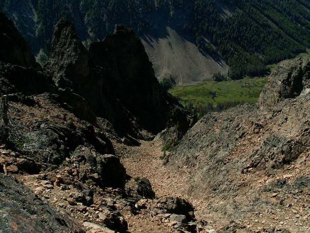
Go up and over one more ridge and drop into the next, auminous looking, large gully. Descen from the ridge into this scree, boulder, and tree filled area that rises precipitously from Frenchman Creek below. This is the final gully that leads to the summit. Stay to the right (north) portion of Frenchmans Gully for best footing.
The lower section is not much to speak of, it is fairly easy terrain with some loose scree and subalpine forest areas. The upper few hundred feet become steep with loose scree and unstable boulders. Eventually, the pointed summit to your left (south) comes into view.

At the stop of Frenchman's Gully, traverse now back to the south on a small and exposed ledge to the top of secondary chute. Climb to the top of the summit ridge below the summit block and continue south.
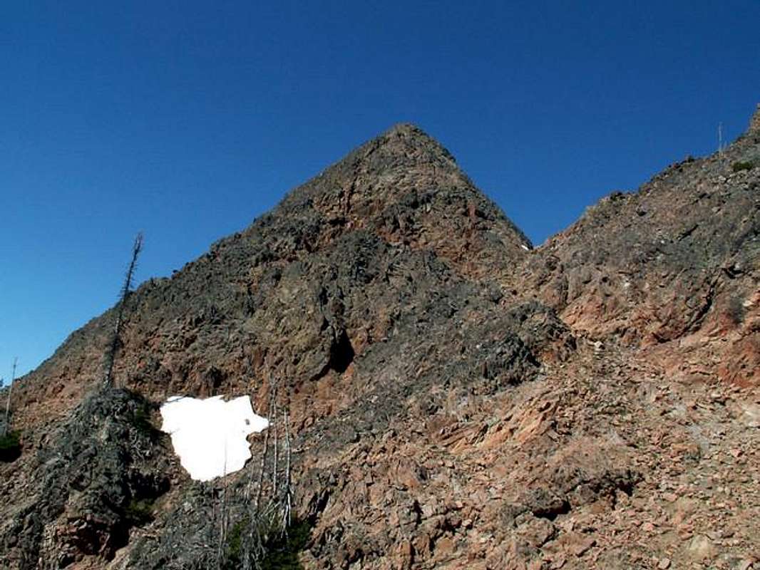
The summit block is not large but exposed and small. If you have been using poles to this point, leave them and head directly up the center of the block. Depending on your idea of the classification system, a few moves may either involve class 3, or 4, exposure on this tiny route.
Once at the summit, be very cautious. It is a tight, spindly ridge with steep drop -offs on both sides and nothing more.
Note On Descent
If you found that you did not descend far enough to cross the length of the terrain turn directly east and climb toward the base of the cliffs and begin a scary traverse over to the ridge just to the north of the creek that you ascended on.
Mountain Conditions
This peak is remote and not located near any major reporting weather stations.
However, This website will give you a general forecast for the next few days.
For a look at past weather conditions of the area, the Vienna Mine SNOTEL Site lies just a few miles to the southwest and is only a few hundred feet lower in elevation.
Red Tape
No red tape or permits required in this lovely area.
When To Climb
A snow free climb is possible by mid-June through early-October most years.
An out of season climb would be nothing more than a death wish and is not recommended because of the steep nature of this mountain.
Camping
No camping would be possible along the route due to the nature of the terrain.
Car camping would be lovely in the wide open Smiley Creek Valley below the peak.
Nearby campgrounds can be found at Alturas and Petit Lakes.


