-
 23900 Hits
-
 86.68% Score
-
 23 Votes
|
|
Mountain/Rock |
|---|---|
|
|
38.23454°N / 119.08686°W |
|
|
Mono |
|
|
Hiking |
|
|
Spring, Summer, Fall |
|
|
10236 ft / 3120 m |
|
|
Overview
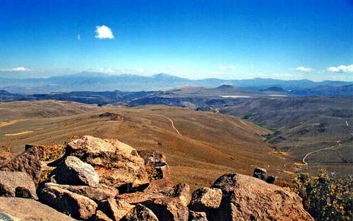
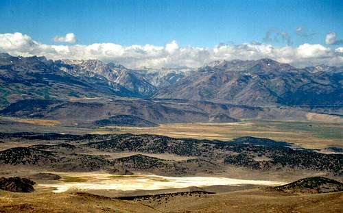
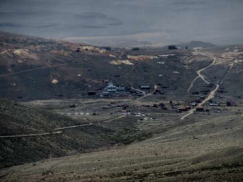
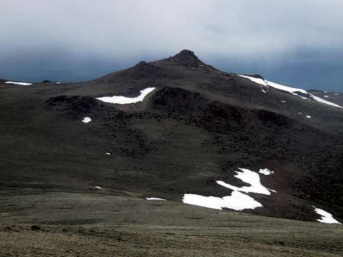
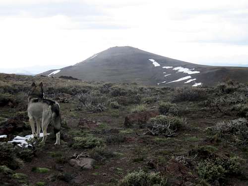
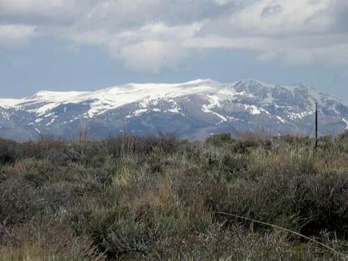
Potato Peak 10,237' and Bodie Mountain 10,168' are not much to look at. Bodie Mountain is clearly named after the ghost town of Bodie just below it to the southeast. What Potato Peak has to do with potatoes is an utter mystery. Maybe the folks who named it had potato salad for lunch on the summit. These mountains represent the high ridge within the Bodie Hills. This is a small volcanic sage brush desert range several miles north of Mono Lake and east of Bridgeport Valley and the northern Sierra. The Bodie Hills are best known for the famous ghost town of Bodie the centerpiece of Bodie State Historical Park. This is considered one of the best preserved ghost towns in the country. It was a gold mining boom town in the late 1800s largely destroyed by a fire in 1932 by which time it was already abandoned. Hiking Potato Peak and Bodie Mountain is a short day hike with sweeping views over Bridgeport Valley to the crest of the Eastern Sierra, south to the Mono Basin and east to the Wassuk Range in Nevada. Potato Peak has a very respectable prominence of 2,557' (ranking it 82nd in California for prominence), while Bodie Mountain is only 1.05 miles south/southeast from Potato Peak, and has a prominence of 328'. Views of Mono Lake are spectacular from Bodie Mountain. Views of the Sweetwater mountains are spectacular from Potato Peak. Both mountains have excellent views to the Sierra Nevada Range to the West and the desert ranges in Nevada to the East. The timing for hiking in the Bodie Hills depends on the level of snowfall in a given year. In a dry winter, you can pretty much hike here starting in March, while a wetter year may require starting in early May. 2016 was an El Niño year and it was pretty much free of snow by Memorial Day Weekend. Avoid the Bodie Hills in the heart of summer. The desert heat can be unbearable at times. Fall is another lovely time to visit the Bodie Hills.Getting There
From the junction of Hwy. 120 (Tioga Pass) take Hwy 395 north 19 miles to Hwy. 270 and turn right. It is about 12.5 miles to the ghost town of Bodie. Pavement ends at about 9 1/2 miles, but the road to the town is well graded. There are three primary ways to hike up to either summit. You can go all the way to Bodie State Historical Park and hike from the east side. You can hike from a side road before the town about 10.5 miles from the 395 junction. Another popular route is from the paved road. About 8 1/2 miles up there's a dirt road with a cattle gate on the left side of the road. There is space to park just past the gate. This approaches the mountains from the southwest. From Bridgeport go south 6.5 miles on Hwy 395 and turn left on Hwy. 270 and follow the directions above.Route Information
From Bodie SHP, drive to a dirt parking lot on the west side of town. There is a good road heading into a canyon. If hiking, hike up the road for two miles, where there is a turn off on the left heading up the backside of Bodie Mountain. Take this roadto a junction with a road heading up towards Bodie Mountain. The road gets within about 200’ of the summit. The total distance to Bodie Mountain is about 4 miles gaining almost 1,800’. From the summit of Bodie Mountain, Potato Peak is an easy 2 miles round trip. Just get back on the road below Bodie Mountain and return the way you came.
From the side road 10.5 miles up (about 1 mile up the paved road), just park on the side of the main road. Hike up the road which will connect to the roads described above. This road heads straight up to the base of the Bodie Mountain summit. It is about 3½ miles to the summit of Bodie Mountain gaining 1,700’ via this route, with about 2 miles round trip for Potato Peak.
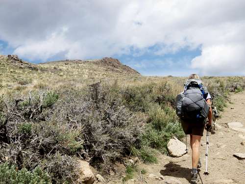
A longer, more scenic route is achieved from the side road about 8 ½ miles up; off the paved part of 270. The road heads up to the ridge below Potato Peak, which can be reached in about 5 ½ miles. You can then reach Bodie Mountain and loop back down to the main road by taking the road on the ridge heading south from Bodie Mountain and then bushwhacking down into a canyon where a trail leads out to the main road. This loop is about 11 miles. A good GPS helps for this loop. The elevation gain for both summits is about2,650’. Alternatively, you can hike up Bodie Mountain first. Just take the road on the right about 1 ½ miles up the road. It leads into a canyon. From there you can bushwhack up the ridge to Bodie Mountain, head to Potato Peak,and take the gradual road down.




Alpenglow - Jun 19, 2019 9:07 pm - Hasn't voted
Bodie State Park FeeIf just passing through Bodie and not planning to visit the ghost town (then starting from somewhere along Bodie Masonic Road) to climb Potato/Bodie Mountain you don't need to pay the day use fee.