-
 5604 Hits
-
 82.82% Score
-
 16 Votes
|
|
Mountain/Rock |
|---|---|
|
|
39.53150°N / 105.16655°W |
|
|
Jefferson |
|
|
Hiking |
|
|
Spring, Summer, Fall, Winter |
|
|
7496 ft / 2285 m |
|
|
Overview
Wilds Peak
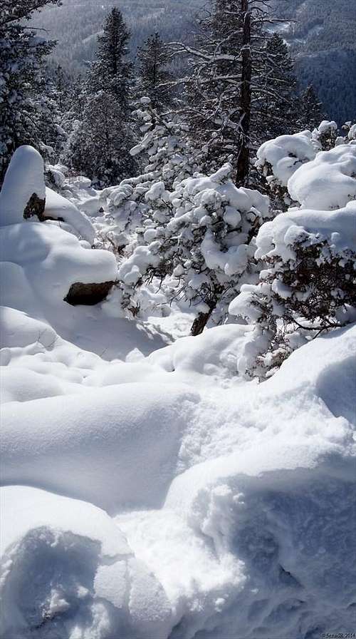
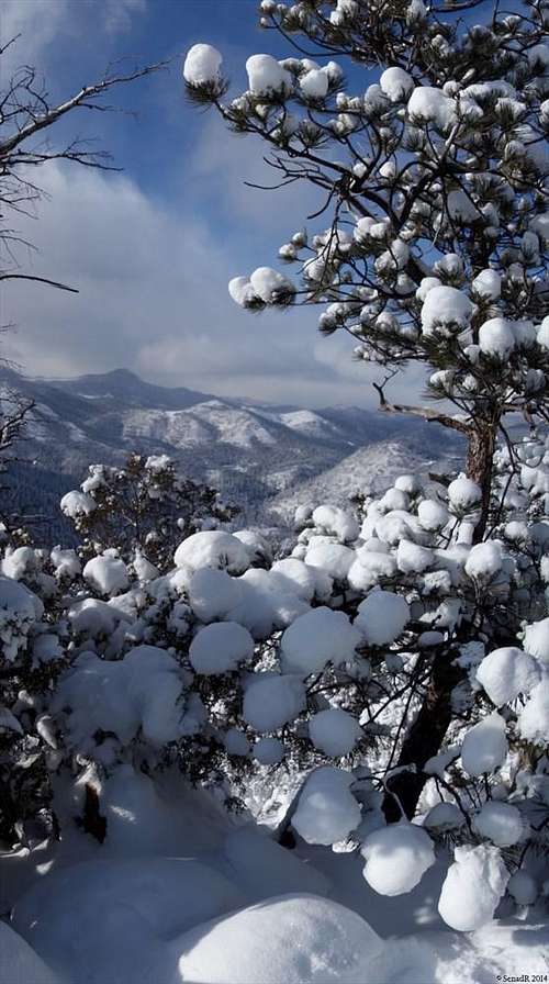
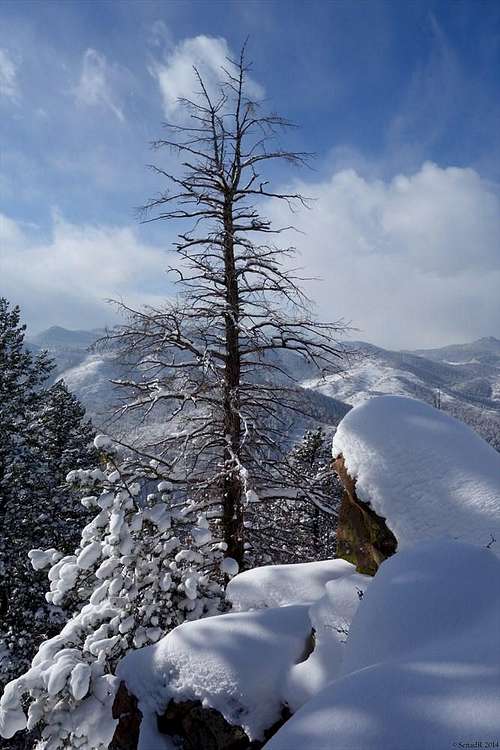
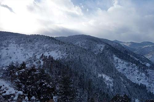
Wilds Peak is part of the Deer Creek Canyon Open Space in southeastern Jefferson County and is a great shoulder season hike that is close to suburbia and hence perfect for a day when time is limited or in case of bad weather in high country. Wilds Peak climbs to 7,496 feet (2,282 meters) above sea level. Deer Creek Canyon is very popular park and open space in Denver backyard. During summer months this park is extremely busy and somewhat crowded, not just with hikers, trail runners but with mountain bikers as well. Wilds Peak is less known little summit, most of hikes around park are related to Plymouth Mountain and Bill Couch Mountain.
Peak Type: Summit
Latitude: 39.528877
Longitue: -105.178878
Peak Elevation: 7,496 feet (2,285 m)
Nearest City: Morrison
Getting There
From C-470, take the Kipling exit and go south. Turn right on West Ute Avenue (there will be a sign for the park), and then right on Deer Creek Canyon Road. You will pass South Valley Park on the right. About 1/2 mile further, turn left on Grizzly Drive, and then turn right into the parking lot for the park.
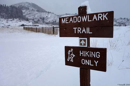
Meadowlark Trail
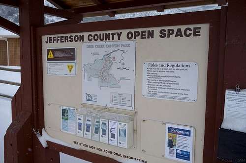
Trailhead
Route
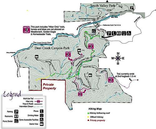
Hiking Map
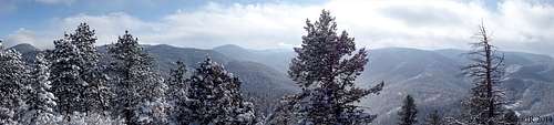 Summit panorama
Red Tape
The park is open from one hour before sunrise to one hour before sunset. The Meadowlark, Homesteader and Golden Eagle Trails are closed to mountain bikers. Camping is not permitted.See here for more information.
Jeffco Open Space
700 Jefferson County Pkwy
Golden, CO 80401
(303) 271-5925
Hours: 7:30AM-5:30PM Monday-Friday