
|
|
Mountain/Rock |
|---|---|
|
|
34.91020°N / 99.3166°W |
|
|
Download GPX » View Route on Map |
|
|
Hiking |
|
|
Spring, Fall, Winter |
|
|
2075 ft / 632 m |
|
|
Overview
Rank: Quartz Mountain is Oklahoma’s 61st highest peak
Prominence: 510 ft
Quartz Mountain refers to a mountainous area 2 miles long on the southwestern shores of Altus Lake in Oklahoma’s Quartz Mountain State Park. The USGS Map does not provide exact elevations for any of the mountains but gives contour lines of 2070 to 2080 ft for the highest point. Elevation at Altus Lake, half a mile to the east of the high point, depending on water level is 1550 ft.
No trail goes to the top of any of the area mountains. I started my hike at Cedar Valley Trailhead on the southwestern side of the mountains. The trailhead gives access to a half mile long nature trail that goes on a small plain among the mountains. Leaving the nature trail, I went up a valley to a 1880 ft saddle and then did a ridgetop hike to reach the high point of the range.
Getting There
From the intersection of Routes 19 and 283 in Blair, Oklahoma, drive 2.1 miles north on Route 283 then turn right on Route 44. After 4.7 miles, turn left on Rout 44A. Follow 44A half a mile north. Right after going over a bridge, the road turns west and becomes County Road 1470 and then 1465. One and a half miles after the turn, look for a dirt road on the right (north side). Follow the dirt road less than half a mile to Cedar Valley Trailhead. On the day that I did my hike, the dirt road was well graded and passable by a y car.
Route From Cedar Valley
Trailhead Elevation: 1570 ft
Summit Elevation: 2075 ft
Roundtrip Hiking Distance: 3.6 miles
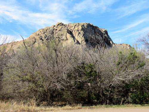
At Cedar Valley Trailhead, a rocky buttress known as Baldy Point was visible to the west. This point is apparently a popular rock climbing area.
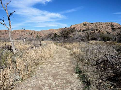
I went north on Cedar Valley Nature Trail. Where the trail branched (a loop started), I went left.
|
|
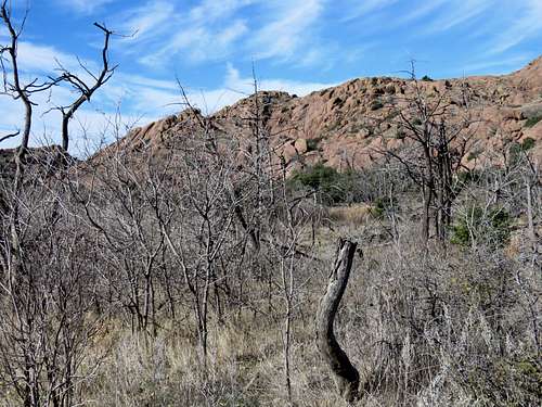
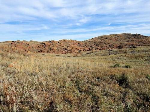
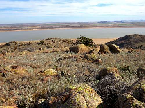
At the north end of the loop trail, I left trail and went into a valley that went up to a 1880 ft saddle. A somewhat of a beaten path was visible.
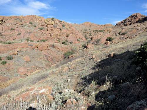
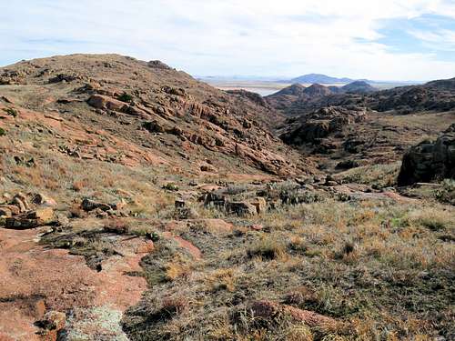
Views from the valley.
|
|
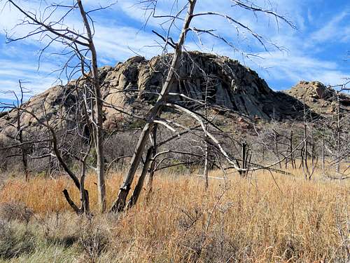
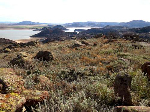
I then reached the 1880 ft saddle.
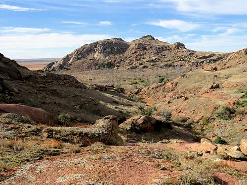
At the 1880 ft saddle, what looked like a plateau appeared in front of me with the 2075 ft summit half a mile away to the northeast. It looked as if I could walk on the plateau toward the summit but having looked at topo maps, I knew that a canyon sat between me and the summit. I had to follow the broad ridgetop northwest where the ridgetop turned east and went to the summit.
Point 2035 ft sat to the southeast of the saddle.
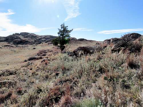
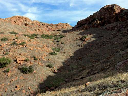
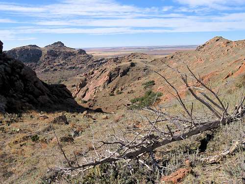
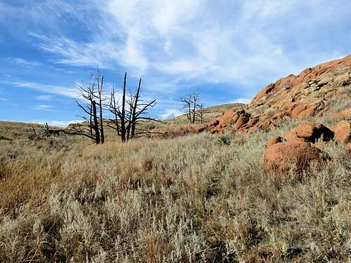
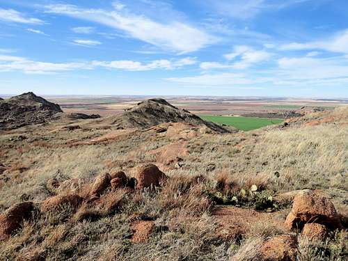
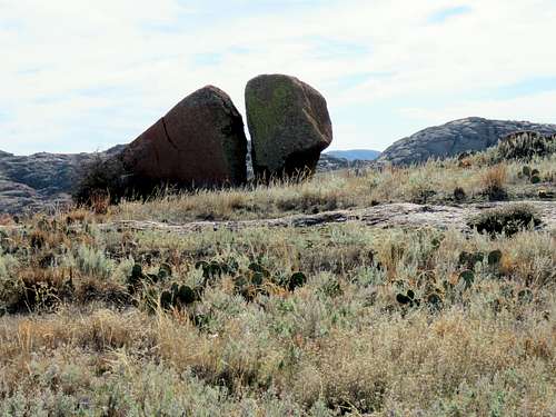
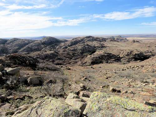
Headed northwest on the ridgetop and then east toward the 2075 ft summit. Views from the ridgetop.
|
|
|
|
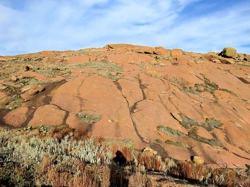
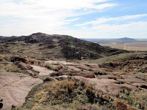
Before reaching the summit, the ridgetop became rocky. Traversing the slopes on the south side appeared difficult. I went to the north side and traversed the slopes below cliffs.
A look back at the slope I traversed.
Final push to the summit.
|
|
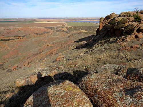
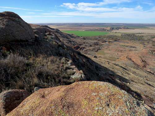
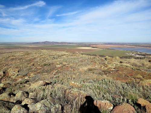
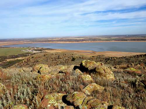
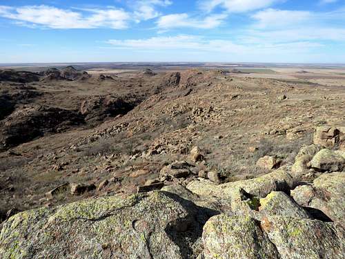
Views from the summit.
|
|
|
|
|
|
Red Tape
No fees or permits.
When to Climb
Summer can get very hot. Mid fall to mid spring is the best time.