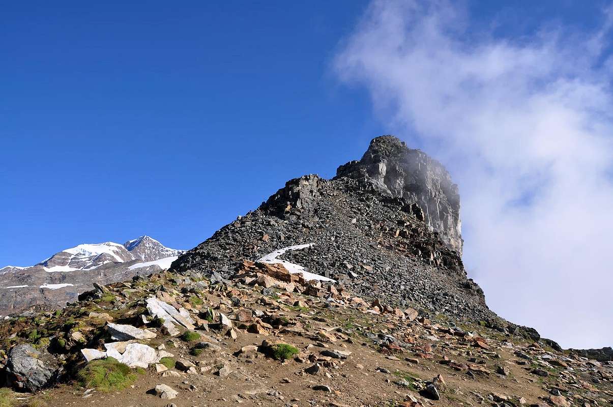
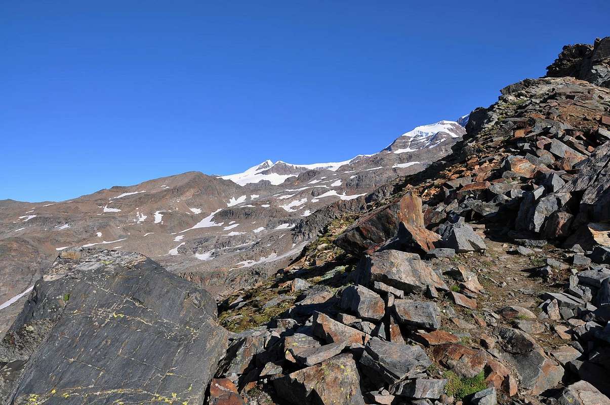
Small mountain made of broken rocks and debris between the Gressoney (W) and delle Pisse (E) Valleys. From its summit great views on Monte Rosa Group and very fine panoramic point on the almost all the main summits of the Whole Valley.
Modesta vetta di rocce rotte e sfasciumi a cavallo tra le valli di Gressoney (W) e il Vallone delle Pisse (E). Dalla sua sommità si gode una splendida veduta dalla Catena del Monte Rosa e su quasi tutte le principali montagne dell'intera regione valdostana.
First Ascents
First on the summit: Unknown.
In winter: Unknown.
Getting There
BY CAR:
From Torino, Milano, etc: Motorway A5. Exit Pont Saint Martin for then to continue on SR.44 for Gressoney Valley.
From Switzerland: through the Grand Saint Bernard Tunnel or the namesake pass. Drive to Aosta, Pont Saint Martin and Gressoney Valley.
From France: through Mont Blanc Tunnel or Petit Saint Bernard Pass. It isn't necessary to take Motorway A5: you can drive on SS.26, in the direction of Aosta and Pont Saint Martin.
BY PLANE:
Aeroporto "Corrado Gex" Saint Christophe (Aosta).
Approach
From A5 Pont Saint Martin (345m) toll drive along the SS.44 toward Gressoney-La-Trinite (1.624m), follow for the Village Staffal (1.823m) car parking car parking - Funivies of the Monte Rosa.
Dall'uscita dell'Autostrada A5 nel comune di Pont Saint Martin (345 m) proseguire lungo la SR.44, verso Gressoney-La-Trinite (1.624 m) e, raggiunta la Frazione di Staffal (1.823 m), parcheggiare l'auto nel grande parcheggio delle Funivie del Monte Rosa.
Route
From the Colle dei Salati (2.936m) to go up again toward north and, gone beyond to west the Stolemberg, to reach the Passo superiore delle Pisse (3.112m). From this point to go up again the mountain from North slope on broken rocks and (II°) to reach its peak. (0h'20/0h'30) from the Colle delle Pisse.
Dal Passo dei Salati (2.936 m) risalire verso nord e, oltrepassato ad ovest lo Stolemberg, raggiungere il Passo Superiore delle Pisse (3.112 m). Da questo punto risalire la montagna dal suo versante nord su rocce rotte e sfasciumi (II°) fino a raggiungerne la vetta. (0h'20/0h'30) dal Colle delle Pisse.
Difficulty
The route can be classified as F+ or PD-.
L'itinerario è classificato da F+ a PD-.
Equipment for the Route
Hiking gear.
Da Escursionismo.
Campings
Remember that free camping is forbidden (except for emergency reasons, over 2.500m, from darkness until dawn).
Mountain Conditions
You can get meteo information at the official site of the Regione Valle d'Aosta:
Parents refers to a larger category under which an object falls. For example, theAconcagua mountain page has the 'Aconcagua Group' and the 'Seven Summits' asparents and is a parent itself to many routes, photos, and Trip Reports.

 11513 Hits
 87.76% Score
 25 Votes