|
|
Mountain/Rock |
|---|---|
|
|
58.43468°N / 134.50223°W |
|
|
Juneau |
|
|
Mountaineering |
|
|
4225 ft / 1288 m |
|
|
Overview
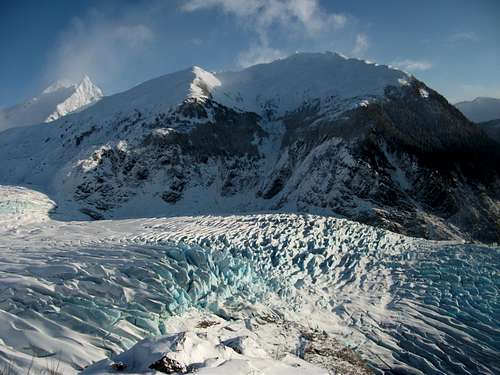
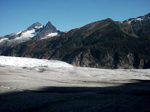
Bullard Mountain sits across the glacier from McGinnis Mountain, and is visible pretty much anywhere in the Mendenhall Valley. There is no maintained trail to the top, however, the mountain still see's quite a few ascents by Juneau standards.Normal Route
The most common route is via a climbers "trail" that starts at the back of the "East Glacier Loop" trail. From the Mendenhall Glacier Visitor Center, take the east glacier trail until the fork with Nugget Creek trail (~1.5 miles). You will see a side path taking you down to Nugget creek. Once you get to the creek you will need to find a good crossing (varies with the water level, but usually it's only your feet that will need to get wet). Once across, head downstream until you come to an old dam with a cable running across the creek. Head uphill from here, there may be some flagging and faint trails, definitely a little bushwacky at the start, but as the slope steepens the vegetation thins. Favor climbers left when in doubt, too far the right gets pretty steep. Eventually you will come to a big alder brush meadow, this is where the bushwacking really begins, just fight your way up to the ridge and don't get sucked to far over to the climbers right. When you hit the ridge I strongly recommend you leave something to mark your route, it can be tricky to find on the way down. From here just follow the ridge to the top, it's a little scrambley in places, the crux is an exposed 4th class move 10ft from the summit. From the creek to the summit is about 4000ft of elevation gain in less than two miles.North Ridge
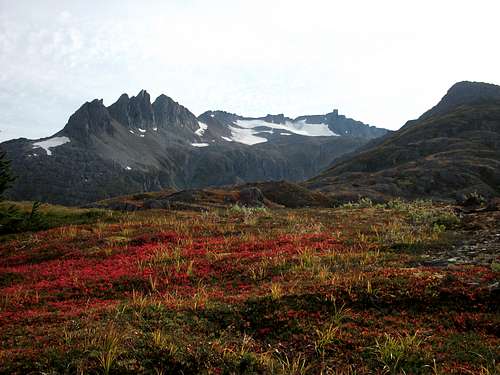
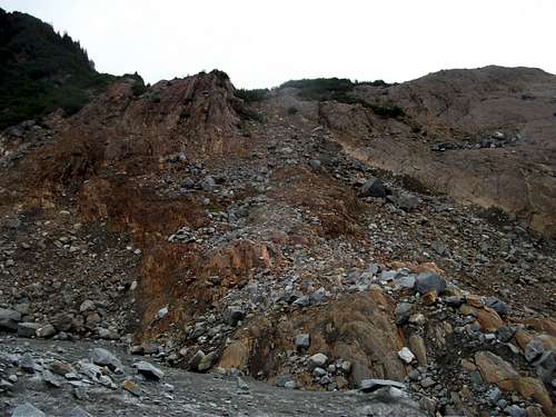
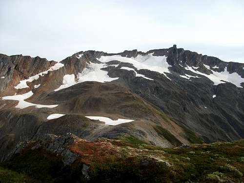
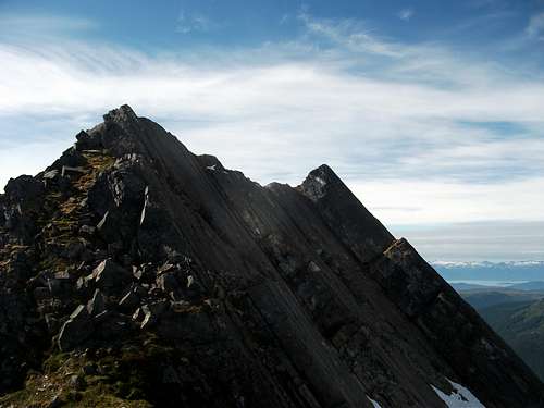
A much more pleasant (and much longer) alternative to the normal route, which involves glacier travel, more scrambling, and less bushwacking, is the North Ridge. Follow the "Mendenhall Glacier Approach" until about a quarter mile before Suicide Basin (usually takes at least 5 hours to get to this point, 3.5 miles of trail and 2.5 miles of glacier). This is a great spot to camp. You will see a few large gullies with boulder/scree fields leading up Bullard Mountain. The widest of which provides the easiest path to the ridge (see picture).Once on the ridge, you will find beautiful meadows and easy walking all the way to the false summit (3575 ft.). From the false summit, you have to drop a bit of elevation. Cross scree and talus and aim for the snowfields to the left of the true summit (see headwall picture below). Gaining the summit ridge is the crux of this route, and I seem to pick a different way up the headwall each time, just go with what looks easiest, it's all about the same difficulty. You may encounter 4th or low 5th class rock, but it's short (less than 100ft.) and most people will be comfortable without a rope. Follow goat trails along the ridge to the summit, bypassing difficult sections by traversing on the left (south).


