
-
 12622 Hits
-
 86.37% Score
-
 22 Votes
|
|
Mountain/Rock |
|---|---|
|
|
34.55221°N / 114.56272°W |
|
|
Download GPX » View Route on Map |
|
|
San Bernardino |
|
|
Hiking |
|
|
Spring, Fall, Winter |
|
|
3694 ft / 1126 m |
|
|
Overview
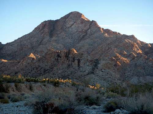
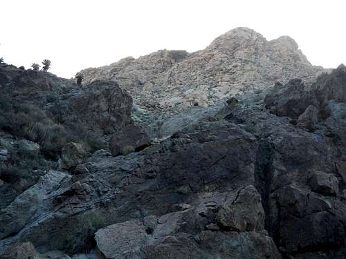
First Light on Chemehuevi
Chemehuevi Peak is the highest point of the white granitic Chemehuevi Mountains, located on the eastern border of Southern California in the Mojave Desert. The word Chemehuevi means "those that play with fish". The namesake Chemehuevi tribe is a small branch of the Southern Paiute. These Native Americans have been indigenous to the area for thousands of years. They call themselves "Nüwü", (The People).
Chemehuevi Mountains
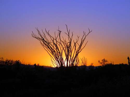
Ocotillo Sunset
Despite being short in stature Chemehuevi Peak has significant rise above the valley floor. It is also featured on the popular Sierra Club Desert Peaks Section list. The standard route approaches from the southwest and is 7 miles round-trip with just under 2000 feet of gain. The open desert approach is pleasant but becomes more rugged after entering a wash to reach a steep gully. See the route section for more details.
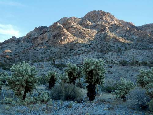
Cholla Gardens
This side of the Colorado River is sparse when it comes to development so it is best to bring your own supplies. But food, water and gasoline can all be purchased nearby, on the west shore of Lake Havasu. There is a small grocery store located there as well as a gas station and casino with a restaurant inside.
Interactive Route Map
Standard Route
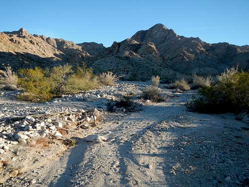
Entering The Wash
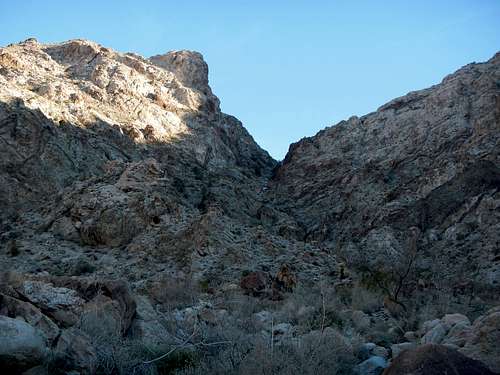
Steep Gully
2 miles from the powerline road, enter the mouth of a wide canyon. This canyon becomes more narrow at the head. Follow the open wash along the base of the canyon as it turns more to the north. Scramble up class 2 terrain working around or over boulders and some minor dryfalls.
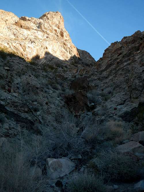
Upper Gully
Near the top, the gully becomes a narrow V with some catsclaw bushes. At 3000 feet there is a small plateau. Turn right (east) and the last slopes below the summit are visible.
Above The Wash
There are two rocky sides to this slope divided by a gully. I scrambled up the left side and then went around a corner briefly onto the north slope. However trails near the summit indicate that this west slope can be ascended a number of different ways. Just take care to avoid exposed slabs.
Above The Gully
A class 3 move might be required to reach the summit depending on the way you go. Watch for loose rock. As of February 2015, there was a PVC register tube.
Getting There / Driving Directions
From Needles, CA drive south on Highway US-95 for 19.7 miles. Turn left onto a dirt powerline road. If you came to the Havasu Lake Road junction, then you went too far. Turn around and backtrack 500 feet to the powerline road. Follow the well-graded powerline road for 4 miles and park. The peak will be visible to the northeast.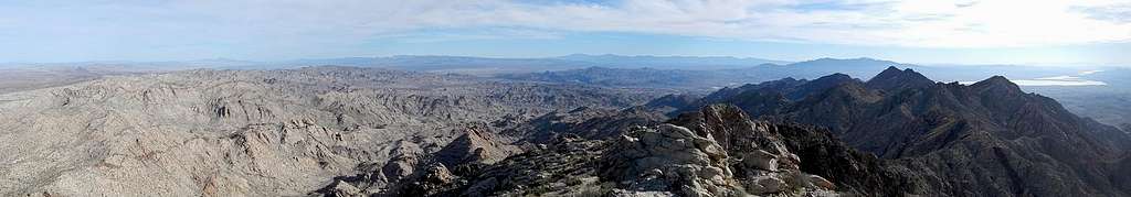
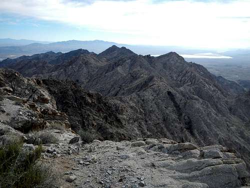
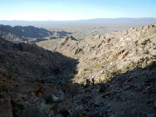
Chemehuevi Summit Panorama