Routes
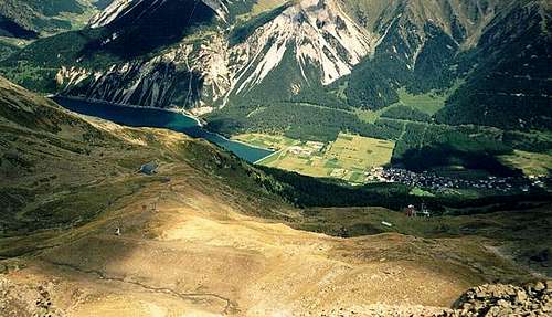
South Tyrol (Alto Adige), Italy, Europe
60 miles away
Route Type: HikeDifficulty: Walk-Up
Parents: Seebödenspitze (Cima Pian del Lago)
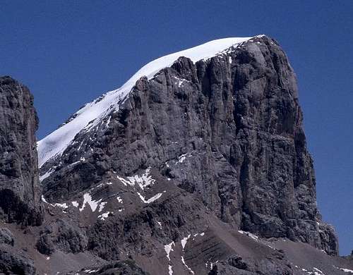
Dolomiti, Italy, Europe
65 miles away
Route Type: medium rock climb, securedDifficulty: KS3-E
Parents: Marmolada-Punta Penia
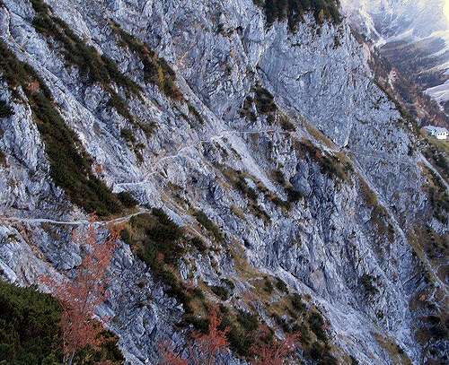
Tirol, Austria, Europe
51 miles away
Route Type: HikingDifficulty: T4- (UIAA I)
Grade: I
Parents: Hexenkopf
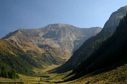
Südtirol/Alto Adige, Italy, Europe
58 miles away
Route Type: Hiking, Via FerrataBelluno (Veneto), Italy, Europe
63 miles away
Route Type: HikingDifficulty: Walk-up, easy
Parents: Croda da Lago Lastoni di Formin
Dolomites, Italy, Europe
57 miles away
Route Type: WalkDifficulty: n/a
Parents: Sassolungo - Langkofel
Trentino Alto Adige, Italy, Europe
100 miles away
Route Type: HikingDifficulty: easy
Austria, Europe
44 miles away
Route Type: Hiking, Scrambling, Via FerrataDifficulty: Medium hard walk up (T4 by the Swiss Hiking Scale)
Parents: Hintere Goinger Halt
Tyrol / Oetztal Alps, Austria, Europe
41 miles away
Route Type: MountaineeringDifficulty: middle - up to 50°
Parents: Hinterer Brochkogel
Alto Adige / Südtirol, Italy, Europe
71 miles away
Route Type: classic climbDifficulty: rocks UIAA III, ice 45°
Parents: Ortler / Ortles
Hohe Tauern, Austria, Europe
91 miles away
Route Type: Mountaineering, MixedDifficulty: Easy climb (T4 by the SAC Hiking Scale), snow up to 40 degrees
Parents: Hochalmspitze
Hohe Tauern - Granatspitze Group, Austria, Europe
52 miles away
Route Type: SkiingDifficulty: easy
Parents: Hochgasser
Carnic Alps, Austria/Italy, Europe
65 miles away
Route Type: Hike and ScrambleDifficulty: Walk Up
Parents: Schoentalhoehe / Cima di Valbella
Ötztal Alps, Italy, Europe
49 miles away
Route Type: ScrambleDifficulty: Hike-Up
Parents: Croda delle Cornacchie / Grawand
Bavaria / Salzburg, Germany, Europe
68 miles away
Route Type: hike with inserted climbingDifficulty: UIAA I, points are UIAA II
Parents: Hochkalter
Salzburg, Austria, Europe
90 miles away
Route Type: Hike, Ski-TourDifficulty: Walk-up
Parents: Hochkarfelderkopf
Salzburg, Austria, Europe
90 miles away
Route Type: HikeDifficulty: Walk-up
Parents: Hochkarfelderkopf
Salzburg, Austria, Europe
90 miles away
Route Type: Hike and scrambleDifficulty: Walk up, some UIAA I
Parents: Hochkarfelderkopf
Hohe Tauern / Schober Group, Austria, Europe
65 miles away
Route Type: Mountaineering, Ice Climbing, SkiingDifficulty: 4 of 5 Austrian ski difficulty grades
Parents: Hochschober
Hohe Tauern / Schober Group, Austria, Europe
65 miles away
Route Type: Mountaineering, MixedDifficulty: Medium difficult walk-up
Parents: Hochschober
Bavaria, Germany, Europe
71 miles away
Route Type: HikingDifficulty: long hike with easy rock scramble
Grade: I
Parents: Hochstaufen Zwiesel


