
-
 25659 Hits
-
 88.13% Score
-
 26 Votes
|
|
Mountain/Rock |
|---|---|
|
|
37.90202°N / 121.93837°W |
|
|
Contra Costa |
|
|
Hiking |
|
|
Spring, Summer, Fall, Winter |
|
|
2369 ft / 722 m |
|
|
Overview
Mt. Diablo from Eagle Peak
Personally I've never seen an eagle or an Eagle fan on or around any peaks in 21 years of hiking California mountains.
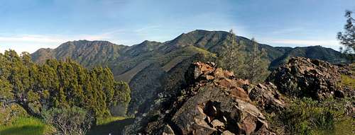
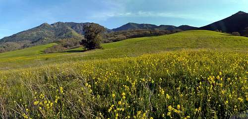
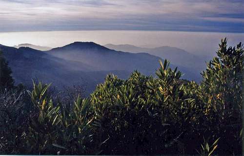
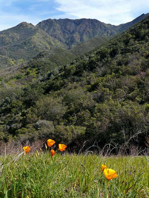
This brings us to none other than Eagle Peak in Mt. Diablo State Park 2 miles northwest of Mt. Diablo's main summit. This is a nice hike that can be a few hours or incorporated into a larger loop on the many fine trails that cut through the steep slopes and dense chaparral that covers much of the north side of the Mt. Diablo massif. There are sweeping views of the north and east bay and an arresting view of Diablo's north and main peaks from the flat ridgeline summit.
Getting There
Mt. Diablo with Eagle Peak, far right, from Back Creek Road area
Take the trail .01 miles and go right on the Mitchell Rock Trail. which climbs to Twin Peaks at 1,700'. The trail goes south along the ridge a short distance until it meets the Eagle Peak Trail junction. Continue on south on the Eagle Peak Trail to the summit. You can also take the Eagle Peak trail from the Mitchell trailhead by continuing straight to Back Creek Road and following the directions to the Eagle Peak Trail described below.
Regency Road: Take Regency road off Marsh Creek Road in the town of Clayton and drive to the end with free parking. el. 500'.
Take the Back Creek Road trail southwest over the rolling hillside, down into the ravine of Back Creek and then back up northwest a short distance to the Back Creek Road (Trail) going south. Go south a few 10ths of a mile and go right on the Coulture Pine Trail. Take an immediate left on the Eagle Peak Trail and follow it as it climbs the west side of the canyon to the ridge at 1,700'. Go left and follow the trail to the summit.
Red Tape
Mt. Diablo from Back Creek Road
This hike can get very hot in late spring or summer. Be sure to wear sun screen and bring more than enough water.
Camping
Eagle Peak from the Mt. Olympus Trail
Diablo North Peak from Eagle Peak Trail