
-
 20563 Hits
-
 82.48% Score
-
 15 Votes
|
|
Area/Range |
|---|---|
|
|
38.44830°N / 78.7307°W |
|
|
3282 ft / 1000 m |
|
|
Overview
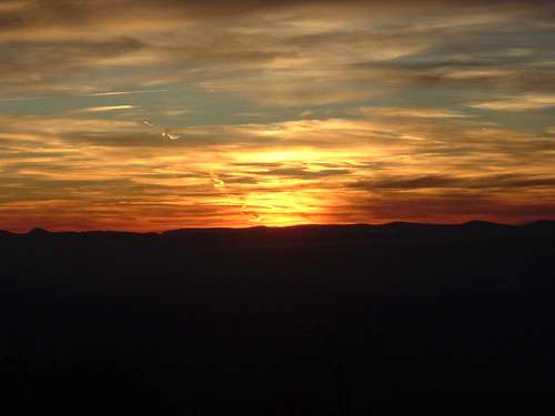
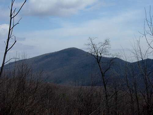
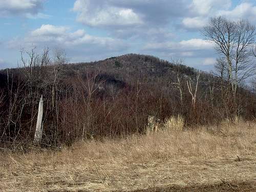
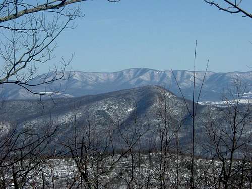
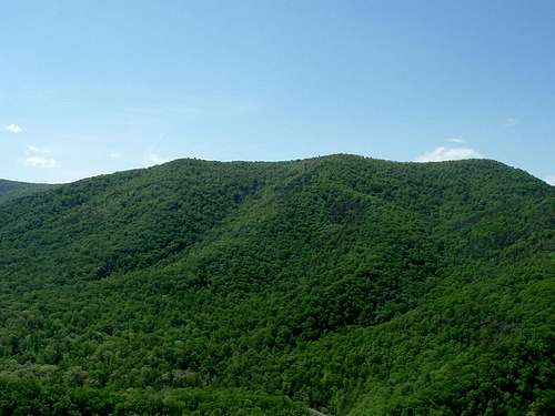
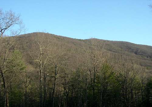
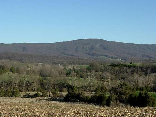
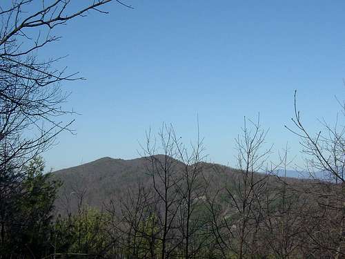
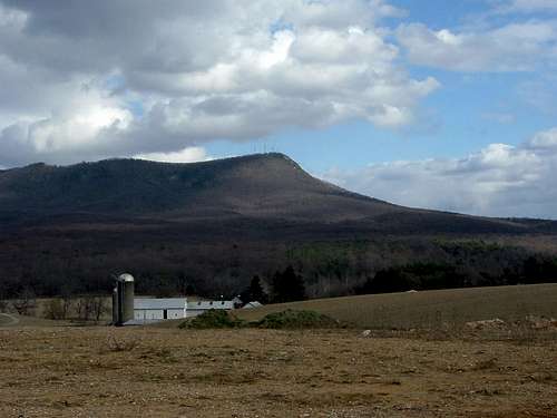
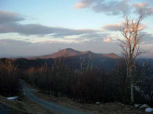
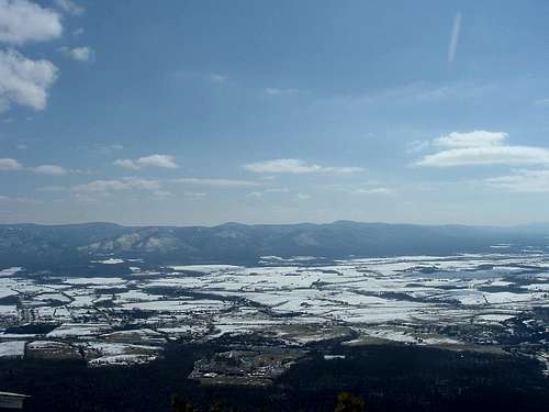
From the overlooks on Skyline Drive in Virginia's Shenandoah National Park, the most immediately obvious feature is the 50-mile mountain range to the west known as Massanutten Mountain. The elevations on Massanutten Mountain are not particularly tall even by Appalachian standards; the only real estate consistently above 3,000 feet is between Grubbs and Lairds Knobs near the southern end of the range. However, the peaks and ridges are filled with interesting opportunities for hiking.
Geology:
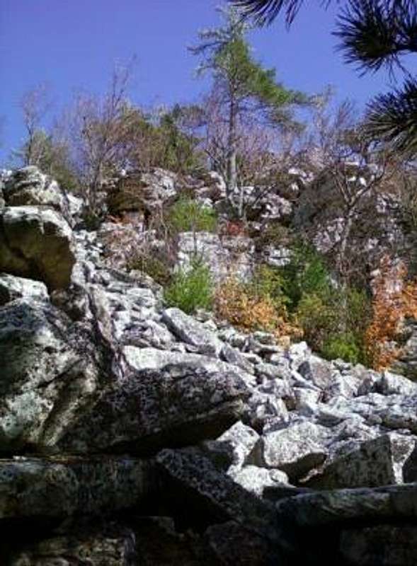
Massanutten Mountain is the easternmost extent of the Ridge and Valley Appalachians in Virginia. The Ridge and Valley Appalachians are a series of mountain ranges to the west of the Blue Ridge Mountains and to the east of the Appalachian Plateau. Massanutten Mountain is a geological structure known as a synclinorium, which is a large syncline that has superimposed smaller folds. A syncline is a downward-curving fold, which has progressively younger layers that dip toward the center of the fold. The youngest layers are at the center of the fold and older layers are further outward. The Massanutten Sandstone outcrops on the crests of the long, relatively level ridges.
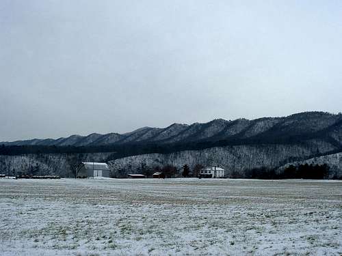
The range is divided into two sections. North of New Market Gap, Fort Valley is between the two main ridges. Fort Valley was formed by Passage Creek; it is about 23 miles long and 3 miles wide at its widest point. It is an unusual valley within the larger Shenandoah Valley. A considerable majority of the hiking trails are in the northern section. South of New Market Gap, there are a series of tightly-spaced ridges known as First, Second, Third, and Fourth Mountains. The only substantial open space between the mountains is at the southern end, where the Massanutten Resort is located.
Human history:
Native American tribes hunted in Fort Valley, but did not establish permanent settlements there. In 1707, the range was visited by Jean Michelle. The first settlements by colonists were not set up until after 1725. During the Revolutionary War, George Washington considered retreating to Fort Valley and using the natural defenses of the mountains if his army was defeated at the Battle of Yorktown.
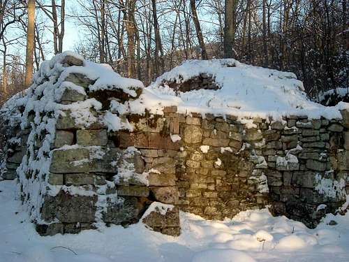
Settlement continued after the Revolutionary War, and mining operations were established as well as farms. In the 19th Century, iron ore was mined at the northern end of Massanutten Mountain and in the middle of the southern section, which supplied the Elizabeth and Catherine pig iron furnaces, respectively. During the Civil War, the pig iron furnaces in the Shenandoah Valley supplied the Confederate military, and were attacked and damaged or destroyed by Union armies.
In the late 19th and early 20th Centuries, logging operations eventually stripped all the forests from Massanutten Mountain. The destruction of the forests and other resulting environmental degradation led to the formation of the George Washington National Forest in 1918. Many years of trail construction followed, with completion of the Massanutten Trail in 2001.
Getting There
Fort Valley can be accessed from the north via SR 678. From Front Royal, go west on Route 55 for about 5 miles and then turn south on SR 678. It can also be reached from the south via FR 274. From Luray, follow US 211 to New Market Gap. At the crest of the ridge, make a right on Crisman Hollow Road (FR 274). All of the peaks in the northern section of Massanutten Mountain have at least one route to their summit that can be accessed from Fort Valley.
The eastern side of Massanutten Mountain can be accessed from roads that run off US 340, including SR 613, SR 619, SR 675, SR 684, and SR 717. The western side can be accessed from roads that run off US 11, including SR 675 and SR 758.
Northern Section
| Short Mountain: One of numerous Short Mountains in Virginia; Short Mountain in Shenandoah County happens to be the highest summit in the northern part of Massanutten Mountain. This mountain may have gotten its name from the fact that it is relatively short in length compared to the main western and eastern Massanutten ridges. The route to the summit follows the Massanutten Trail for a round trip of 5.8 miles. While the summit is wooded, there are some good views to the north. The trailhead can be reached by following SR 675 east from the town of Edinburgh up to Edinburgh Gap. |
 |
| Duncan Knob: The only Class 3 peak in the range. Duncan Knob has excellent views of Stricker Knob, Bird Mountain, Short Mountain, and the main ridges of Massanutten Mountain from a point near the summit. Views of Great North Mountain further to the west are also available. Duncan Knob is located on Middle Mountain, which is one of the smaller ridges in the northern part of the range. The peak is a fairly popular hiking destination. There are three routes to the summit; the Massanutten, Scothorn Gap, and Gap Creek Trails lead to round trips of 8.8 miles, 6.8 miles, and 3.4 miles, respectively. The trailheads can be reached from FR 274 or SR 675. |
 |
| Waonaze Peak: The highest point on the main western ridge of Massanutten Mountain, Waonaze Peak is particularly attractive to hike in autumn. The shorter route to the summit is about 3.6 miles and follows the Massanutten Trail. The longer route is a loop of about 5 miles that involves an ATV trail; there are views of Fort Valley and mountains to the west and south from overlooks. The trailhead can be reached by following SR 675 east from the town of Edinburgh up to Edinburgh Gap. |
 |
| Stricker Knob: The only Class 2 peak in the range. Strickler Knob has summit views in nearly every direction. It is possible to see the Blue Ridge to the east, Great North Mountain to the west, and Big Mountain to the south. Views of the main western ridge of Massanutten Mountain are also available from overlooks. Stricker Knob is located at the intersection of Middle Mountain and the main eastern ridge of Massanutten Mountain. By following the Scothorn Gap and Massanutten Trails and an unofficial trail along the Middle Mountain ridge, the summit can be reached with a round trip of between 5 and 6 miles. The trailhead can be reached from FR 274. |
 |
| Opechee Peak: The highest point on the Green Mountain Ridge; Opechee Peak can be reached only by a rocky ATV trail. There are views of Fort Valley and mountains to the west and south from overlooks. The round trip is about 5 miles; the trailhead can be reached by following SR 675 east from the town of Edinburgh up to Edinburgh Gap. |
 |
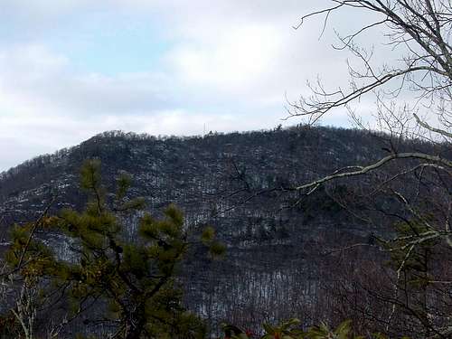
| Kennedy Peak: The highest point on the main eastern ridge of Massanutten Mountain is Kennedy Peak. Depending on the starting point, Kennedy Peak can be accessed by round trips of 5.4 miles or 7.2 miles on the Massanutten Trail. From the base of an old fire tower at the summit, there are excellent views of the Blue Ridge and the Shenandoah Valley. The trailheads can be reached from SR 675. |
 |
| Meneka Peak: Although this peak near the northern end of Massanutten Mountain is overshadowed by its popular neighbor Signal Knob, it still gets a respectable amount of traffic. Meneka Peak has views to the east of Point 2015. The routes to the summit are between 8 and 10 miles long. The trailheads can be reached from SR 678 and FR 66. |
 |
| Little Crease Mountain: This peak on the main eastern ridge of Massanutten Mountain has an elevation gain of about 1,700 feet on one of the routes to its summit. On one of the other routes to Little Crease Mountain can be combined with a canoe trip down Little Passage Creek. The routes to the summit. Round trips on the Veach Gap Trail, the Elizabeth Furnace Loop, and the Sherman Gap Trail are 8.6 miles, 7.8 miles, and 5.6 miles, respectively. The trailheads can be reached from SR 613, SR 678, and SR 774. |
 |
| Signal Knob: Located at the northern end of Massanutten Mountain on the main western ridge, this peak is a particularly popular hiking destination. Signal Knob has views of the town of Strasburg and the mountains to the west. The shortest route to the summit is a round trip of about 8 miles on the Massanutten Trail. Signal Knob is often hiked in conjunction with its neighbor Meneka Peak. The trailheads can be reached from SR 678 and FR 66. |
 |
| Point 2015: This unnamed peak is located near the northern end of Massanutten Mountain on the main eastern ridge. It has views to the west of Meneka Peak and Fort Valley. Although it barely clears 2,000 feet, all of the routes to the summit involve an elevation gain of about 1,300 feet. There are three routes to the summit; the Buzzard Rock Trail, the Shawl Gap Trail, and an old wagon road lead to round trips of 7 miles, 5.4 miles, and 3.6 miles, respectively. The trailheads can be reached from SR 613, SR 619, and SR 678. |
 |
Southern Section
|
Lairds Knob: The highest point on Fourth Mountain and the entire range. Lairds Knob, Kaylor Knob, and Hartman Knob form a line from form a nearly straight line from northwest to southeast near the southern end of Massanutten Mountain. The summit is on private property. |
 |
|
Grubbs Knob: Lairds Knob's neighbor to the north is Grubbs Knob. It is the second highest point in the range and the highest publicly accessible point. There are views to the valley and the mountains to the west and of Morgan Knob to the northeast. The round trip is about 4.6 miles, which is mostly on the Massanutten South Trail, but also includes an old, unblazed trail of unknown origin. The trailhead can be reached from SR 868. |
 |
|
Morgan Knob: The highest point on Third Mountain. Anyone who is inclined to put Morgan Knob on his or her bucket list has to bushwhack for about 1.5 miles to the summit after taking the Fridley Gap trail to the crest of the Third Mountain ridge. The trailhead can be reached from Cub Run Road. |
 |
|
Massanutten Peak: Located at the southern end of Massanutten Mountain, this peak is used primarily for skiing and snowboarding, but is also a popular hiking destination.Massanutten Peak has views of Hartman Knob, Kaylor Knob, Lairds Knob,and the Blue Ridge Mountains. It is possible to take an access road to the summit, which is a round trip of about 2.2 miles. The difficult and rocky Ridge Trail leads to a round trip that is 4.8miles. The trailheads can be reached in the Massanutten Resort. |
 |
|
Kaylor Knob: The highest point on Second Mountain. Kaylor Knob has views to the west of the Fourth Mountain ridge and to the east of Hartman Knob. The round trip on the Second Mountain and Kaylor Knob trails are 5.6 miles and 3.1 miles,respectively. The trailheads can be reached from Cub Run Road and the Massanutten Resort. |
 |
|
Big Mountain: This peak has an elevation gain of about 1,000 feet in a mile, beautiful wildflowers in the spring, and views of the valley to the west of Massanutten Mountain. On the Massanutten South Trail, the round trip to the summit of Big Mountain is a round trip of about 7.8 miles. Thetrailhead can be accessed from US 211. |
 |
|
Hartman Knob: Although people probably have climbed to the top of Hartman Knob since Massanutten Mountain was reforested, there is no proof at the summit. This is the highest point on First Mountain. There is an unnamed, and officially unmaintained trail that follows an unnamed stream most of the way to the summit. The rest of the hike is a difficult bushwhack. The round trip is about 5 miles. The trailhead can be reached from Cub Run Road.
|
 |
Other Hking and Rock Climbing
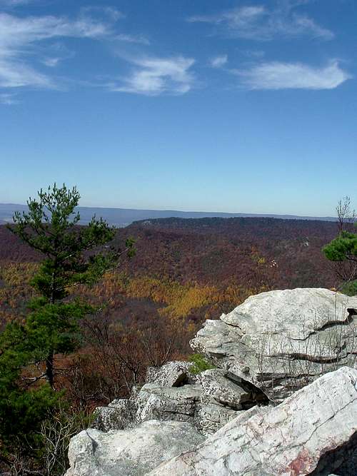
Ridges: In the northern section of Massanutten Mountain, the main ridges are worthwhile hiking destinations in themselves, even without reaching a summit. There are long stretches on the ridges without serious elevation gains or losses.
Long-distance hiking: The Massanutten Trail forms a 71-mile loop in the northern part of Massanutten Mountain, mostly along the ridgetops. The Massanutten South trail runs for 19 miles through the southern part of Massanutten Mountain. It is also possible to hike for more than 60 miles from one end of Massanutten Mountain to the other, from Buzzard Rock to Massanutten Peak, or from Signal Knob to Massanutten Peak on the Massanutten, the Massanutten South, and other trails.
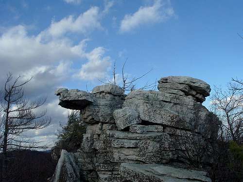
Rock climbing: Buzzard Rock, which is at the northern end of Massanutten Mountain, is a popular destination for hikers. It is also the only established rock climbing site in the range. There are 29 routes established at Buzzard Rock with difficulties between 5.4 and 5.10a.
Other Activities
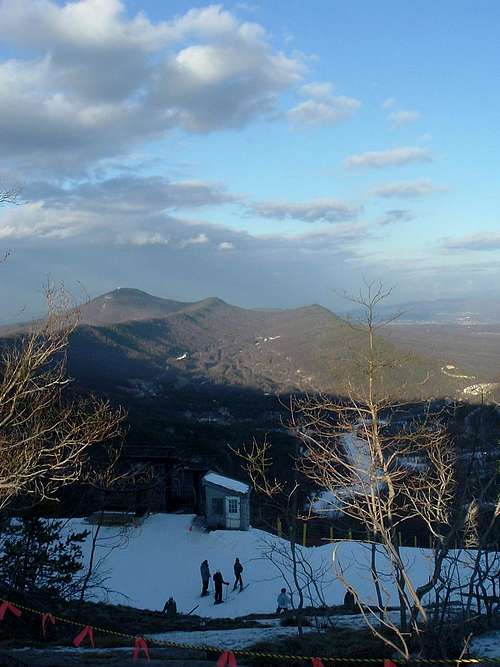
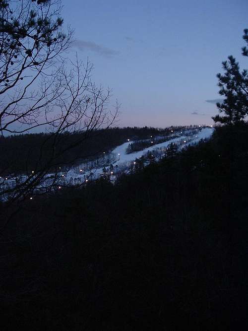
Winter sports: From 1875 to 1915, the Rockingham Springs resort was established at the southern end of Massanutten Mountain. The resort was rebuilt stating in 1971 and reopened in February 1973 as the Massanutten Resort. Currently, the resort has 14 trails for skiing and snowboarding and a snowtubing park on the northern slopes of Massanutten Peak.
 |
 |
Massanutten Resort trail map and ski brochure
Mountain biking: Most of the hiking trails in the George Washington National Forest on Massanutten Mountain are also open to mountain bikes. The Massanutten Resort also opens its trails to mountain bikes and holds the YEE-HA! Downhill Race every year.
Canoeing: The North and South Forks of the Shenandoah River and Passage Creek are popular sites for canoeing. The North Fork runs just to the west of the western ridge of Massanutten Mountain and the South Fork runs just to the east of the eastern ridge. Passage Creek runs through Fort Valley and out through a narrow gap at the northern end of the range.
The South Fork has considerably mores shoreline on public land than the North Fork and more boat launching sites. The South Fork also has fewer hazards such as dams than the North Fork. It is possible to combine a hike on the western ridge of Massanutten Mountain with a canoe trip down the South Fork.
It is relatively easy to combine a hike to Meneka Peak, Little Crease Mountain, or Point 2015 with a canoe trip down Passage Creek. However, experienced canoeists warn that Passage Creek is not for beginners.
Red Tape
Most of the peaks in the Massanutten range and the entire routes to their summits are on public property, except for Kaylor Knob, Lairds Knob and Massanutten Peak. In the northern section, the ridgetops are mostly on public land, while most of the valley is on private land.
Lairds Knob is on private property. The owners of the mountain have had significant problems with vandalism at the radio and cell towers south of the summit. As a result, they are unwilling to open the mountain to hikers at this time.
Massanutten Peak and the entire route to its summit are on private property. Hiking is open to non-members of the Massanutten Resort, but remember to check in the at the guard booth. Please do not light campfires and stay on established trails;it is especially important to stay out of ski areas while hiking.
Kaylor Knob’s summit and one of the routes is on public property; the first half of the other route is on the property of the Massanutten Resort. See above.
Camping
Free camping is available without a permit throughout most of the the George Washington National Forest. The Veach Gap Shelter near Little Crease Mountain and the Boone Run Shelter near Kaylor Knob are available on a first come, first served basis. Tent camping is available in most other locations. Camp Roosevelt is a large campsite with restrooms, picnic areas, and water faucets on SR 675 a few miles to the east of Edinburg Gap. Elizabeth Furnace is a similar site on SR 678 near the northern end of Massanutten Mountain. The fee for these sites is $10 per night; contact the Lee Ranger District for further information.
Camping on the grounds of the Massanutten Resort is only available to resort members.
When to Climb
Massanutten Mountain can be hiked nearly all year round.
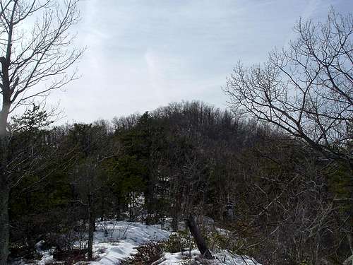
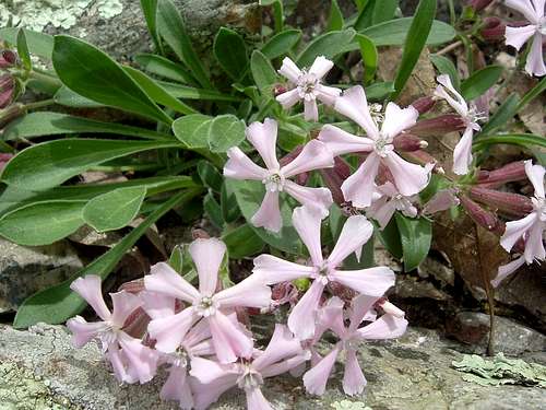
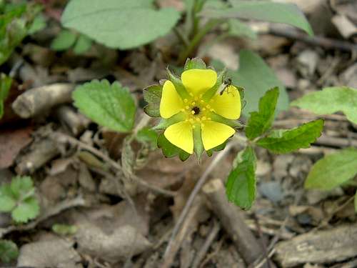
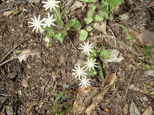
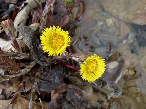
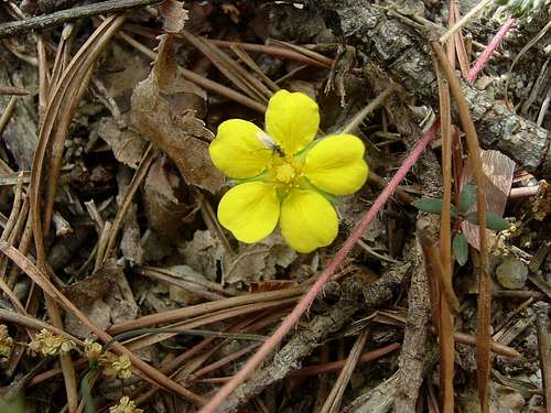
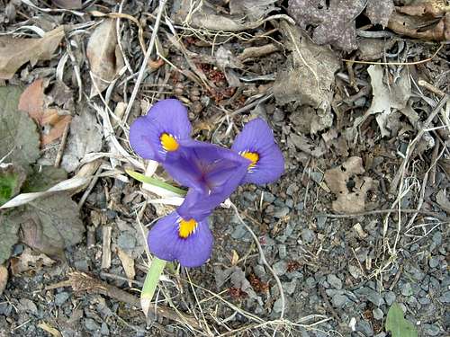
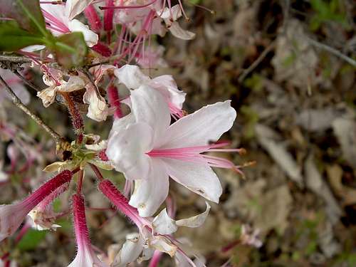
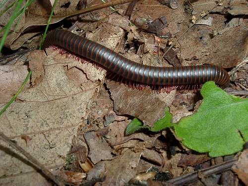
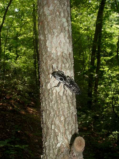
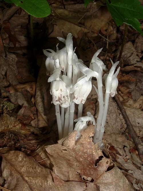
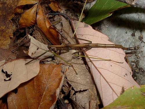
Spring brings out many flowers, including irises, mountain laurel, and pinxter. In May, the western ridge is crawling with dark brown millipedes with red legs.
 |
 |
 |
 |
 |
 |
 |
 |
 |
 |
 |
 |
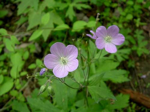
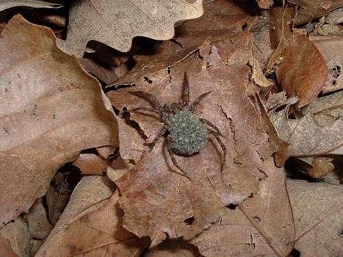
Summer brings more flowers and butterflies and opportunities for canoeing, but it also brings heat, humidity, haze that limits views, and hostile litter critters like mosquitoes, ticks, and yellowjackets. The best time for a summer hike is early in the morning.
 |
 |
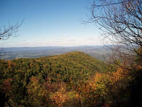
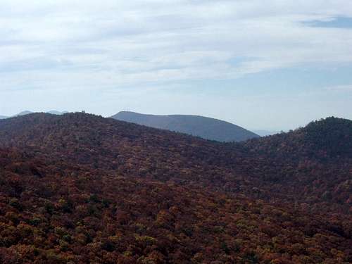
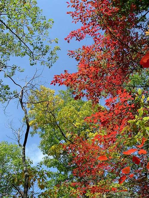
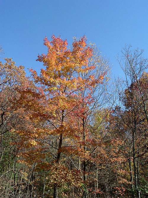
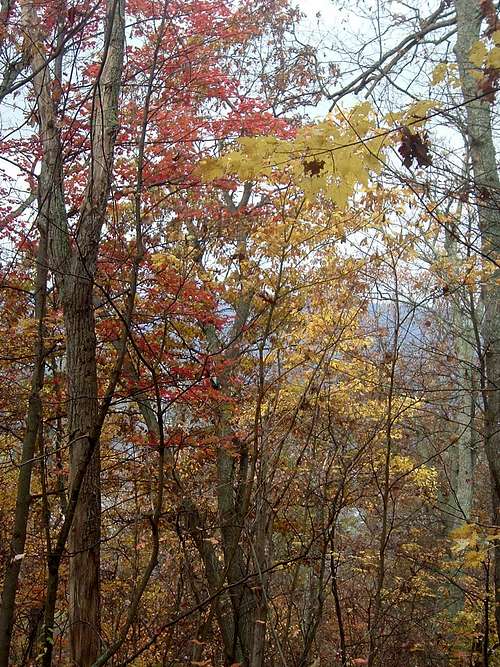
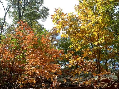
Autumn brings cooler temperatures and beautiful reds, oranges, yellows, and lime greens to the forest. Many leaves are still on the trees at lower elevations at least until Veterans Day. Even the hikes without very much in the way of views are spectacular in autumn.
 |
 |
 |
 |
 |
 |
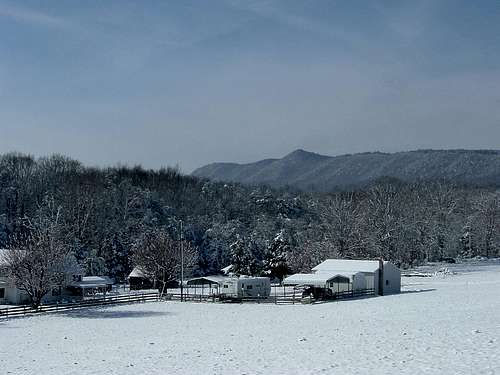
Winter often brings a blanket of snow to the mountains. Sometimes, it can be an inch or two of the light, fluffy stuff, but at other times, you can find yourself postholing through the wet, heavy stuff. Winter is the best time for bushwhacking, as the undergrowth is at a minimum, and the cold temperatures keep troublesome insects at bay. The roads maintained by the Forest Service are closed from late January through late March, which closes some of the routes to Duncan Knob, Meneka Peak, Signal Knob, and Strickler Knob. The ATV trails are also closed to motorized vehicles, which makes hiking to Opechee Peak much easier.
 |
 |
 |
 |
 |
 |
In 2019, deer hunting season with modern firearms runs from November 16 to November 30. Hiking on Massanutten Mountain should be avoided during this period.
Peak List
| Mountain | Elevation (in feet) | Class | Bushwhack? |
| Lairds Knob |
3,282 | NA | NA |
| Grubbs Knob |
3,220 | 1 | Yes |
| Morgan Knob |
3,090 | 1 | Yes |
| Kaylor Knob |
2,980 | 1 | No |
| Big Mountain |
2,962 | 1 | No |
| Massanutten Peak |
2,922 | 1 | No |
| Short Mountain | 2,811 | 1 | No |
| Duncan Knob |
2,803 | 3 | No |
| Waonaze Peak |
2,707 | 1 | No |
| Strickler Knob |
2,661 | 2 | No |
| Hartman Knob | 2,646 | 1 | Yes |
| Opechee Peak | 2,621 | 1 | No |
| Kennedy Peak |
2,560 | 1 | No |
| Meneka Peak |
2,393 | 1 | No |
| Little Crease Mountain |
2,265 | 1 | Yes |
| Signal Knob |
2,106 | 1 | No |
| Point 2015 |
2,015 | 1 | No |
External links
George Washington National Forest- Lee Ranger District
The Potomac Appalachian Trail Club maintains the trails in the Massanutten Mountains, and provides maps, guidebooks, and other information. PATC's website also has a reprint of an article in its July 1934 Bulletin, which discussed the early history of human settlement in Fort Valley
National Geographic’s Map 792, which covers Massanutten and Great North Mountains, shows the location of nearly every peak in the range and provides an excellent overview of the trail and road networks. While it is not as detailed as a USGS topo map, it is more useful for looking at the big picture. If you want to know which trails are open to mountain bikes, this is your map.
Virginia Rivers has guides to canoeing in the North and South Forks of the Shenandoah River and Passage Creek. American Whitewater has information about water levels.
rockclimbing.com has more details about Class 5 climbing at Buzzard Rocks.
Massanutten Resort
The Virginia Department of Game and Inland Fisheries has information about hunting seasons in Virginia.