Introduction
We had intended 2011 to be the year that the three of us would finally get together again on a trip but unfortunately again this failed to materialise. Colin couldn’t make it, so it was just Ken and I heading up alongside Loch Lomond on Saturday May 14th trying to remember the name of the pub that we’d stopped at a few years before. The name seemed to me to have something to do with animals and as it turned out it was the ‘The Drovers’ an 18th century coaching inn near the northern end of the loch. Inside the dark cavernous place were hordes of tourists but we were quickly served and soon ordered real ales and sandwiches for our mid-day refreshment.
Later on, we looked in on a campsite as we drove down Glencoe, but the warden who showed us the pitches warned us of very damp and boggy conditions so we took a raincheck and moved on to
Glen Nevis
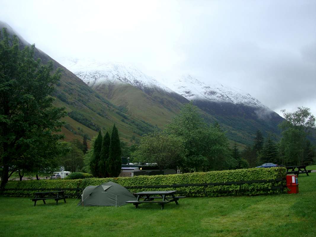
The campsite there was familiar as we’d both stayed before, including once in February when we’d done both the ‘Ring of Steall’ and the ‘Aonach Eagach’ in one week.
Luckily, we’d picked a pitch and got the tent up before the rain came sweeping down Glen Nevis and a rainbow highlighted the tourist track up Britain’s highest mountain.
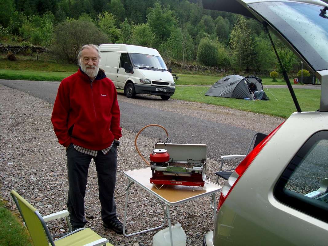
![Getting a first brew going.]() Getting our brew going
Getting our brew going![Lounge bar at the Glen Nevis campsite]() The lounge bar with it's collection of Toddy Kettles
The lounge bar with it's collection of Toddy Kettles
Later in the evening after both of us purchasing new over-trousers in Nevis Sport (rain forecast for most of the week ahead), we renewed our acquaintance with the campsite lounge bar and were delighted to find that a selection of real ale had arrived from local micro-breweries. (there was still a 70 shilling beer on a pump to satisfy the Scottish traditionalists).
The lounge bar was adjacent to a restaurant but we chose to eat from the bar menu whenever we were deterred from cooking our own dinners by inclement weather or just being too knackered. The food was varied and nourishing and included the signature dish ‘Haggis Neaps and Tatties with whiskey sauce’ it was so good I had it twice, whilst Ken’s preference was the Haddock, chips and peas.
DAY 1: May 15th – STOB BAN
Stob Ban was our agreed target for the first day.
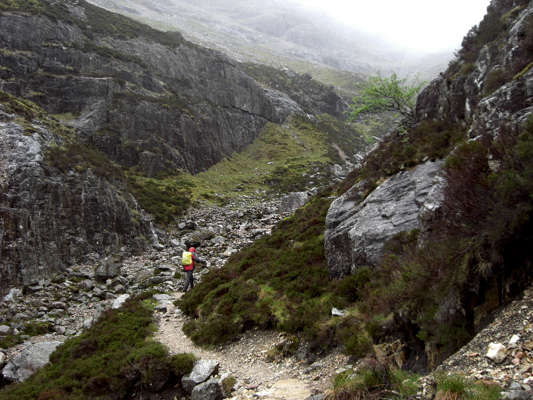
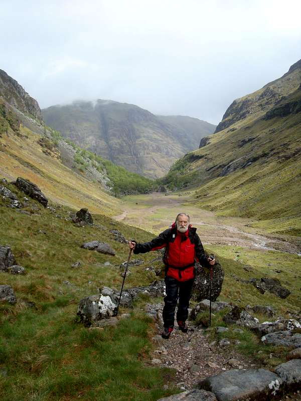
Although the clouds were down and views minimal, we decided to hit the ground running and do Stob Ban which we had passed by years before whilst doing the Ring of Steall. At that earlier time we were in whiteout conditions so we hadn’t even seen the 999 metre top from the ‘Ring’. We drove up the Glen to Achriabhach where the road crossed ‘The Water of Nevis’ and a car park (Pay and Display) of the National Trust for Scotland was placed. Although visibility was poor, the way ahead was clear (once Ken pointed out the footpath gate to Johnnie – doh!) we headed off at a leisurely pace at 1:00pm.
![Our first mountain of the week.]() Ken heads off on the trail of our first mountain of the week
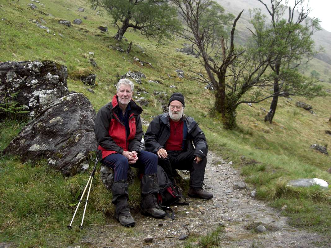
Ken heads off on the trail of our first mountain of the week![Resting at the plantation]() Taking a rest stop.
Taking a rest stop.
At half height below the crest of the ridge connecting Stob Ban with Sgurr an Lubhair we had a breather in the Plantation. The description whilst accurate didn’t really do justice to the collection of weather blasted trees trying to survive the wild Scottish weather and not all succeeding. We continued up the path at the side of the Allt Coire a Mhusgain following a good trail with easy route finding in spite of the mists.
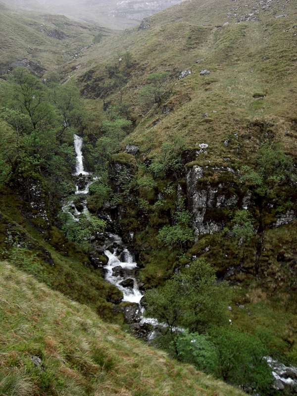
Along the path we were constantly hearing the sounds of water rushing over falls, draining the rain from the tops. We finally reached the ridge at 15:26pm and took a look around to get our bearings. We’d been heading mostly south east up until that point but now it was time to take a turn towards Stob Ban, out of sight along the rising ridge to the west of us.
![Allt Coire a Mhusgain]() The roaring waters of the Allt Coire a Mhusgain
The roaring waters of the Allt Coire a Mhusgain![Above the Coire]() Above the Coire
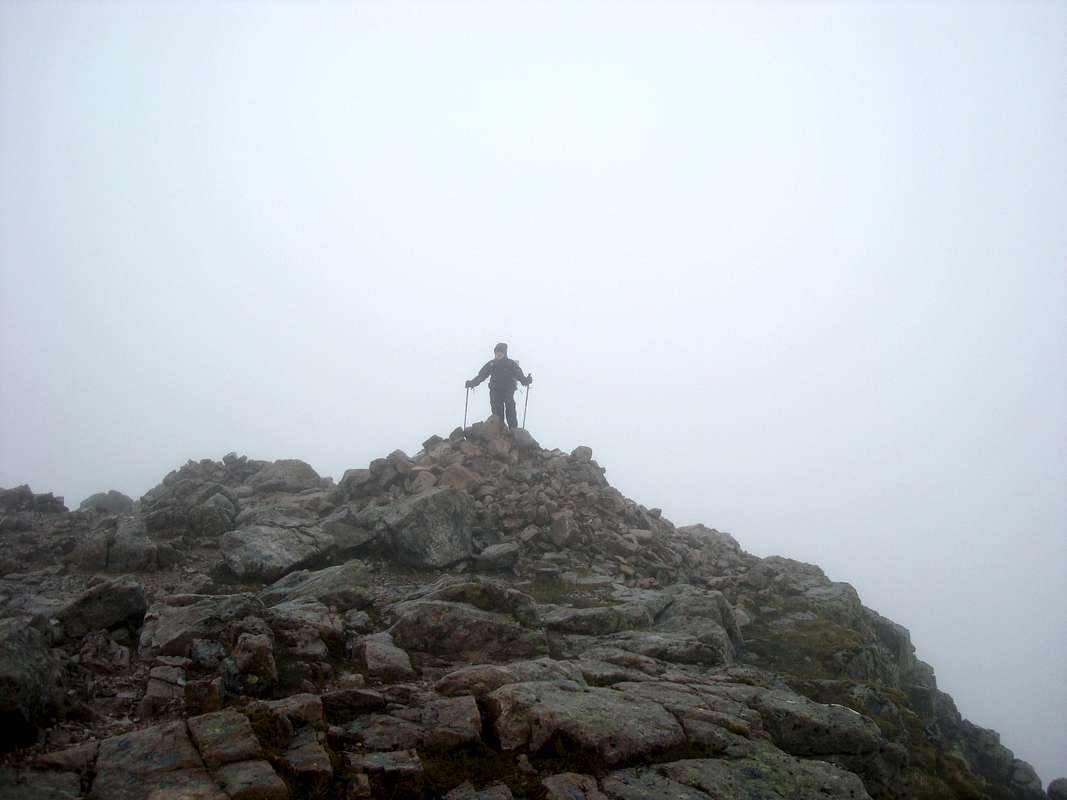
Above the CoireWe followed the ridge trail ever upwards and arrived at the top at 16:15pm. We made sure of visually identifying way points on the trail as we didn’t want to lose ourselves in the mist on the return. The point of descent from the ridge was clearly defined by two cairns. As there was nothing to see but clouds, we soon descended and arrived back at the car park at 18:30pm.
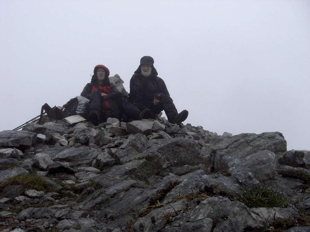
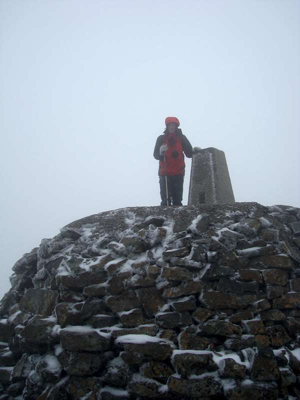
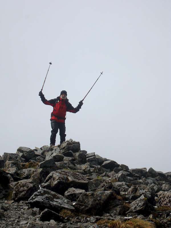
![Stob Ban 999 m.]() On the top
On the top![On the ridge.]() Going up the ridge
Going up the ridgeDAY 2: May 16th – BUACHAILLE ETIVE MOR
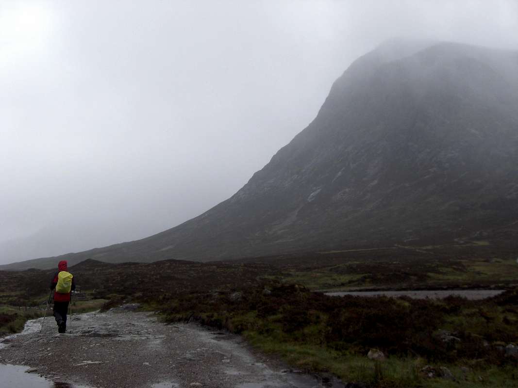
![Buachaille Etive Mor]() The Buachaille
The Buachaille![Lagangarbh]() The SMC Hut
The SMC Hut
Ken had been on the
Buachaille before but it was a mountain missing from my earlier agendas. Having seen it many times when approaching Glencoe across Ranoch Moor it had drawn my eyes like a magnet and I always intended to eventually climb it. Ken fancied doing Curved Ridge and I thought it would be good too but in view of the incessant rain we decided it would be more sensible to do the normal route up Coire na Tulaich.
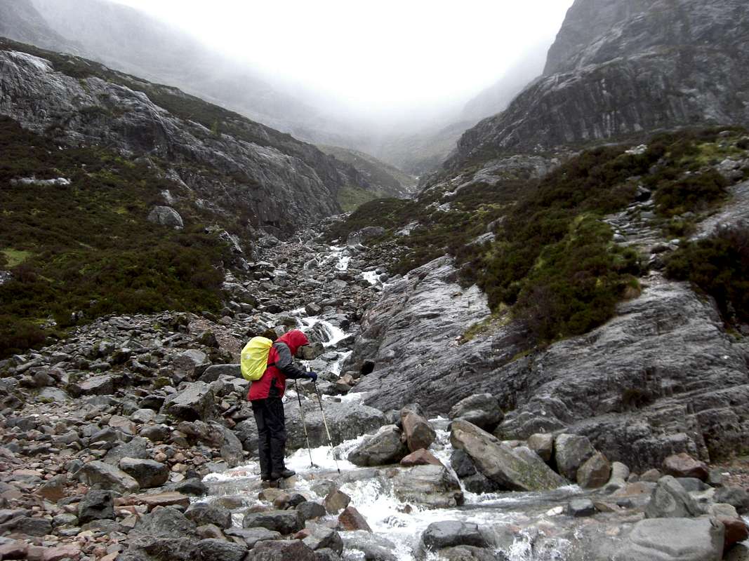
In a similar laid back style to the previous day, we left the car parked in the layby on the Glencoe road at just before 1:00pm and headed along the trail past the little cottage at Lagangarbh before crossing the river at the 400 metre level.
![Ken crosses the burn]() The river crossing
The river crossing![Heading to the ridge]() Ken heads up to the ridge
Ken heads up to the ridge
It was quite exciting crossing the burn which although not in spate, was a bit tricky due to wet rocks and muddy boots.
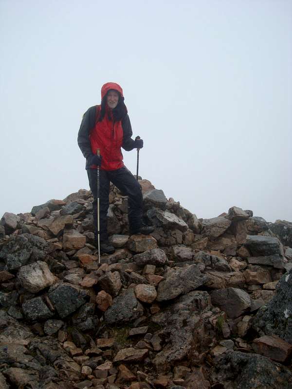
Once across the river, the way ahead was straightforward and we headed on up towards the ridge. It was a very similar outing to the previous day’s walk up Stob Ban but today when we reached the ridge between Stob Dearg and Stob na Doire, we turned east and climbed up the remaining 200 odd metres to the summit of Stob Dearg (1022m.), that in good visibility would have granted us stupendous views over Rannoch Moor, Glen Etive and the Aonach Eagach. Unfortunately for us, the clouds stayed down and we got no views at all. We arrived on the ridge at 14:45pm and the summit of Stob Dearg at 15:15pm.
![Stob Dearg 1022m.]() Johnnie reaches the summit
Johnnie reaches the summit![Ken on Stob Dearg]() Ken on top of Stob Dearg
Ken on top of Stob DeargAgain as the previous day, we didn’t hang about and were back at the car in Glencoe at 17:10pm. Ever minded of the need to maintain his reputation of never passing a pub, Johnnie suggested visiting the Kingshouse before returning to Glen Nevis. After a few miles car drive we soggily entered the Kingshouse climbers bar to join a few other soggy people. We were heartily hailed by a group of Scots guys of similar vintage to ourselves who were getting their dinner before catching a bus back to their homes.
After a pint of ‘Sheepshaggers’ and a delicious bowl of Lentil soup we felt as right as ninepence and reluctantly dragged ourselves away from the cheery scene and jolly banter to head back to our campsite.
The deluge had another bad effect; both my digital camera and my mobile ‘phone got soaked in spite of being tucked inside my ‘waterproof’ jacket pocket, either by the rain or condensation from perspiration. Whatever the cause they refused to work from then on, hence all ‘photos taken afterwards were on Ken’s camera. I must invest in a submersible camera case before my next visit to Scotland.
DAY 3 May 17th – Halfway up Aonach Mor – Ski station and Downhill biking
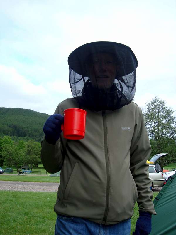
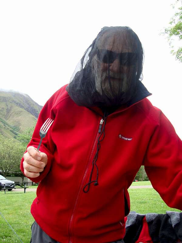
![Midge Free]() Ken protected from head to toe
Ken protected from head to toe![Midges for tea ?]() Johnnie wants to eat the midges in revenge
Johnnie wants to eat the midges in revenge
As a ‘rest day’, we decided to have a look at the Ski station below Aonach Mor and spotting a footpath on the map that virtually following the Gondola ski lift between lower and upper stations, we took it and walked up to the top station and the viewpoint of Sgurr Finniosgaig (663m.) where we sheltered from a stiff breeze in my emergency shelter and ate our lunchtime sandwiches. On our walk up, we also followed a
downhill cycle track and saw some young guys practicing their descents.
I nearly crapped myself when I saw the speed at which those guys were descending and having walked up a goodly section of the track we could appreciated how steep, rocky and dangerous it was.
Back at camp we had a reasonable day for 'al fresco' dining. One of the advantages of inclement weather is it’s ability to reduced the menace of midges. Most of the week was spent getting soaked and trying to cook our dinner in the back of the tent. (not favoured by Ken due to the Quasimodo like positions required of the chef. We actually had our dinner ‘al fresco’ as the wind disappeared and the rain held off. Good news initially but the midges soon realised it was time for their dinner too and they descended onto us. Ha ha though we had the deterrent ready and were soon pest free.
DAY 4 May 18th – BEN NEVIS
![Anniversary of Ford Model T on Ben Nevis]() Hardy volunteers carry the Model T chassis back down Ben Nevis
Hardy volunteers carry the Model T chassis back down Ben Nevis
Willing volunteers carry a Model T Ford chassis down the Ben. Unlike us, the volunteers made an early start so we missed seeing the assembled vehicle on the summit. We had to wait until the next day to read it in the local paper.
![Report of 100th Anniversary]() Local paper reports event
Local paper reports event![Tourist trail up the Ben]() Johnnie appreciates a staircase
Johnnie appreciates a staircase![Rest stop]() Ken takes a well earned rest
Ken takes a well earned rest
By sheer coincidence we had picked Wednesday to do the
Ben and this was the same day that we were told was the 100th anniversary of the driving of a Model T Ford to the summit by a local agent called Henry Alexander.
On our way up to the Ski station the day before we’d talked to a forester working in a gang near the cycle track. He told us that he was one of the volunteers that were taking a dismantled Model T up the Ben.
It was dismantled again and on the way down before we’d arrived. However Ken did manage to get a photograph of some volunteers carrying the chassis down.
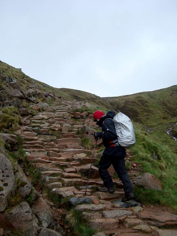
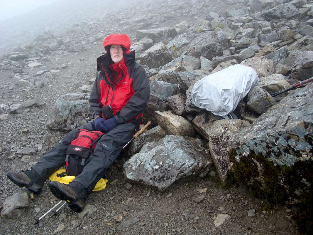
Apart from wind, rain, snow and hailstones, our walk up the Ben was reasonably uneventful, at least it was until we arrived near the summit. I thought I heard cries so I moved up to Ken who was a little ahead of me and asked him if he’d heard anything. He said he thought he heard shouts too, so we decided we should investigate. We left the normal trail and began to descend to the south of the summit and before long we met a guy that we had seen lower down earlier. He’d been to the summit but on his way down he’d become disoriented and lost the normal way. We suggested that he could go back up to the summit with us as it was not far then we could go down together, but while he was thinking about it we saw two guys coming down so we asked them if the lost walker could accompany them. They were happy to help so we left the three of them and carried on up.
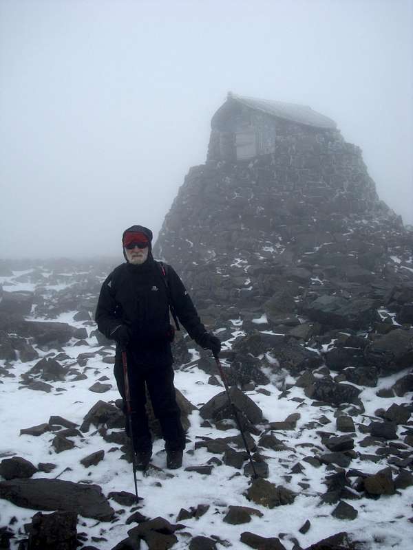
Before too long we’d followed a line of big cairns marking the tourist path and reached the ruins of the observatory, the summit shelter and the trig point. After our summit photos we sheltered from the wind and hail in the observatory and ate our sandwiches.
![Ben Nevis - emergency summit shelter]() Johnnie outside the emergency shelter
Johnnie outside the emergency shelter![Ken on the Ben]() Ken reaches the top now at 1345 metres (March '16)
Ken reaches the top now at 1345 metres (March '16)
We’d started up the trail from the visitor centre around 10:00 am (wow an early start at last!) and arrived on the summit at 13:55pm just under the 4 hours. Ken though it would take us 4 1/2 hours so we were pleased to have made reasonable time.
As we neared to valley floor, we caught up with the two guys who had 'volunteered' to help the lost walker find his way down. One of the guys was limping and apparently had twisted his ankle on the way down. We commiserated with him and Ken asked what had become of the 'rescued' guy?
They told us that he had run off and passed an opinion that indicated that he was one sandwich short of a picnic.
Strangely enough we also passed a fell runner quite high up who seemed to be sheltering in a bay from the sharp winds and in stark contrast to us he was clad only in shorts and a T shirt and had no other clothing with him!
Another nutter we thought, as a simple an injury as another twisted ankle could have led to the more serious and potentially fatal condition of hypothermia.
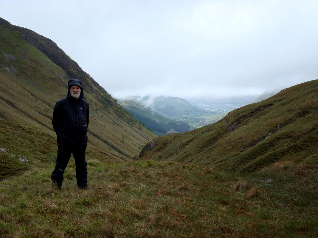
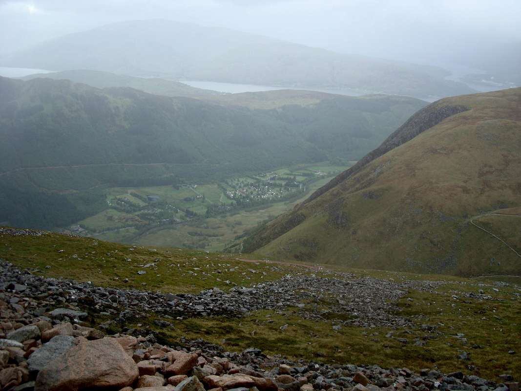
![View from the Ben]() The view into Glen Nevis from the Ben
The view into Glen Nevis from the Ben
Although we had lingered a bit more coming down, taking time to admire any view we could get through the clouds and taking plenty of time to eat and drink, we arrived back down at 16:50pm.
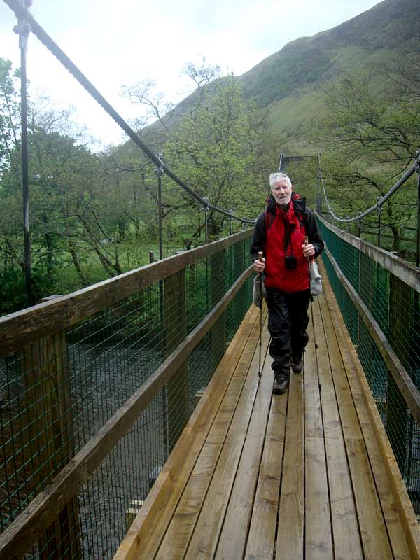
![Crossing the Waters of Nevis]() The final few feet
The final few feetDAY 5 – May 19th – BIDEAN NAM BIAN
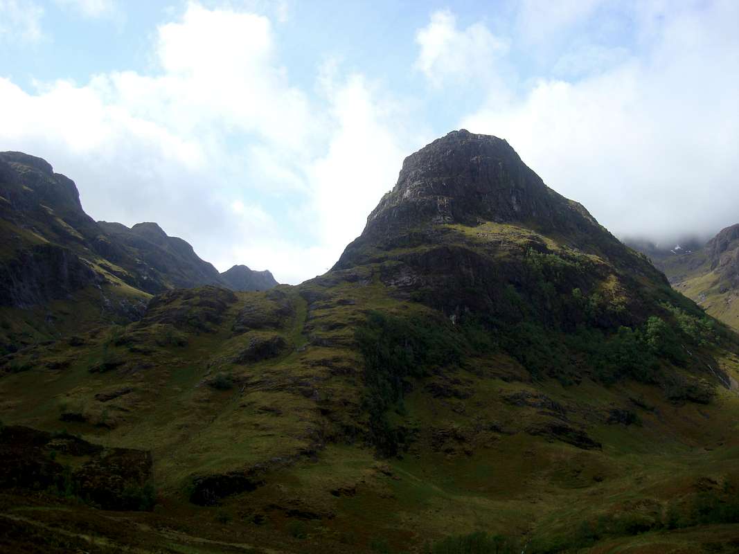
![Coire Gabhail in Glencoe]() The Coire at the start of the day
The Coire at the start of the day
Our last day on the hills (boo hoo!) was back in Glencoe, to climb the
highest mountain in Argyll, at 1150 metres, a good days outing. We had started the day a bit earlier than usual for us (no alpine starts this year) but as we had to drive from Glen Nevis to Glencoe, we didn’t get to the start of the route until 11:00am.
As we set off up Coire Gabhail we seemed to be following crowds of other walkers but after failing to cross the river at the point below the boulders, we lost our path and had to retrace our steps.
In that time a large party had got ahead of us. However, they stopped at the plateau above the boulder field whilst we carried on across the screes.
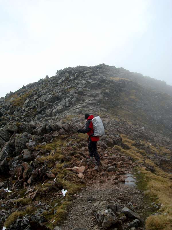
The start of a staircase of steps was obscured from below and we ended up scrambling over loose choss until we located the real path. Still, no harm done and we continued up until we could scramble up the last few metres onto another ridge.
![Above the plateau]() Resting after a steep pull
Resting after a steep pull![Refreshing breeze]() A cooling breeze on the ridge
A cooling breeze on the ridge
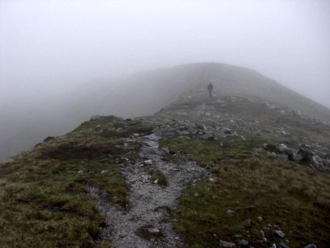
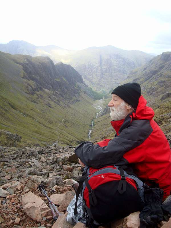
It was a bit like ‘deja vue’ as we looked along the ridge towards the summit of Bidean. We could see the path but the top was obscured by shoulders and mist. It was 14:20pm by then but in spite of our having lost time going off-route, we still had plenty of time in hand. We reached the summit cairn at 15:10pm and enjoyed a pleasant view for a change, back down into Glencoe, across to Aonach Eagach and in the other direction down into Glen Etive.
As we were preparing to go back down Ken said that he was not sure if we were on the highest point, as another top was clearly of a similar height a couple of hundred metres away. As Johnnie had managed to leave the map back at the tent (as well as his mountain jacket) we could not confirm it but decided not to venture further.
As it happened we were on the top of Bidean (1141metres) and the other top was that of Stob Coire nam Beith (1107 metres).
![On the ridge]() Up the ridge to the summit
Up the ridge to the summit![Bidean nam Bian 1141m.]() On the summit
On the summit![Views of Argyll]() Ken enjoys the view from Bidean nam Bian
Ken enjoys the view from Bidean nam Bian
As the skies had cleared much more than on previous days we took our time on the top enjoying our first real views of the week.
After our efforts we thought that we’d earned our beer so we dropped into the
Clachaig Inn on the way back down Glencoe. The climbers bar was almost empty when we entered but soon started to fill up as parties arrived looking for their dinner.
We notice a large array of hand pumps on the bar and selected a local real ale for refreshment (Breweries Alloa and An Teallach seemed well represented in the beer selection).
We could have stayed for a few more but it was a fair drive back to Glen Nevis so we headed back there for a shower and a few more beers to wash our dinner down in the lounge bar. *
GOING HOME
![May snow on the Ben]() May snow on the Ben
May snow on the Ben
We awoke on our last day to the unexpected sight of snow covering the higher slopes of Ben Nevis.
Sadly as usual, we took down the rain saturated tent and then packed Ken’s car for the homeward journey.
We decided to go into the Fort William rail station cafe for a brew but once there we then decided on an all-day-breakfast too. These were quite nourishing but contained a strange flat oblong meaty object. We reckoned it might have been a slice of Spam but when we asked the waitress she replied that it was a
Sausage Most peculiar!
We had both been up and down Glencoe many times over the years so we decided to take the coast road via Oban for a change and to see some new views. The drive down towards Oban was very pleasant and followed the coast most of the time with sea as well as mountain views. We didn’t go into Oban, leaving the road to there at Connel. We then headed back towards Tyndrum to pick up our normal route down the side of Loch Lomand. It was well worth the diversion as we got to pass by the massive bulks of
Ben Cruachan (3695ft.)and
Ben Lui (3708 ft.) on the way and noted these down for future exploration.
After this an uneventful journey led us back down south and we arrived at Ken’s house in Liverpool at tea time where his wife had kindly organised some grub for us. This fortified me well for my second journey 220 miles down south to Essex.


Comments
Post a Comment