
-
 395 Hits
-
 80.49% Score
-
 12 Votes
|
|
Mountain/Rock |
|---|---|
|
|
46.67441°N / 11.27571°E |
|
|
Bolzano Alto Adige |
|
|
Hiking, Skiing |
|
|
Spring, Summer, Fall, Winter |
|
|
6824 ft / 2080 m |
|
|
Overview
Monte Spieler 2080 m
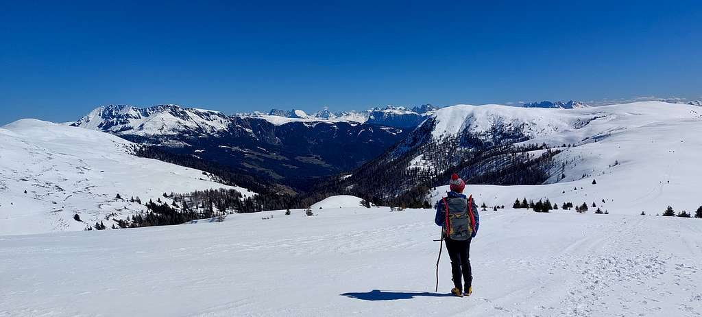
Monte Spieler is a grassy elevation 2080 meters high belonging to the Sarentine Alps/Sarntaler Alpen and located between the Val Sarentino/Sarntal and the Merano 2000 area. The peak is located in a bucolic pasture environment and can be climbed via various itineraries. The climbs take place largely on dirt mule tracks without particular difficulties and can be done all year round. Along the entire route and particularly in the last stretch after the Giogo della Croce saddle, you can also enjoy beautiful views towards the Sarntal Alps and various Dolomite peaks.
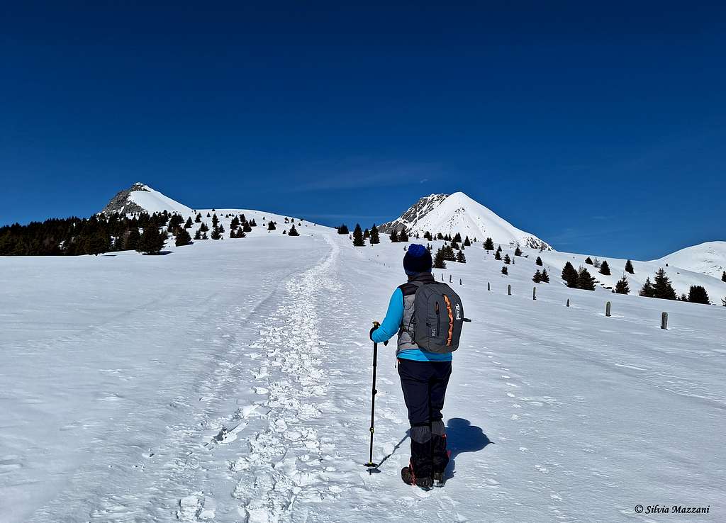
The ascent to this small peak becomes decidedly more interesting during the winter season when it must be done with snowshoes or skis.
Getting There
From A22 Brennero motorway exit Bolzano and take the SS38 Bolzano-Merano, exit Sinigo. Here follow to Avelengo taking the SP17 on the right, then the SP8 and finally the SP98. Drive up to Avelengo/Hafling and continue following the signpost to Falzeben. Toll parking in Falzeben 1621 m.
Route
Monte Spieler from Falzeben
Summit quote: 2080 m
Difficulty: E, EI in winter
Difference in level: 500 m from Falzeben
Starting point: Falzeben parking lot 1621 m
From the parking lot go down towards the ticket office and here turn immediately right onto a small road following the signpost n. 51. A forest road descends about 15 minutes to cross the Rio Sinigo on a wooden bridge. After the bridge the itinerary begins to climb.
Shortly after at a crossroads ignore the forest road which continues straight on and turn right always following the trail n. 51, definitely uphill.
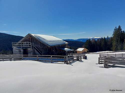
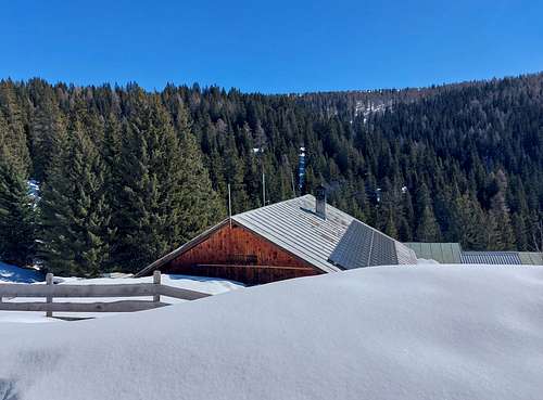
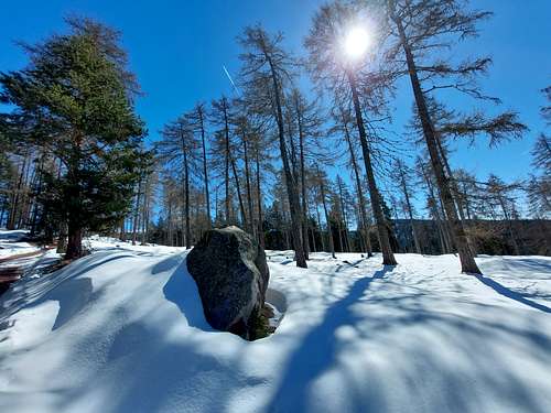
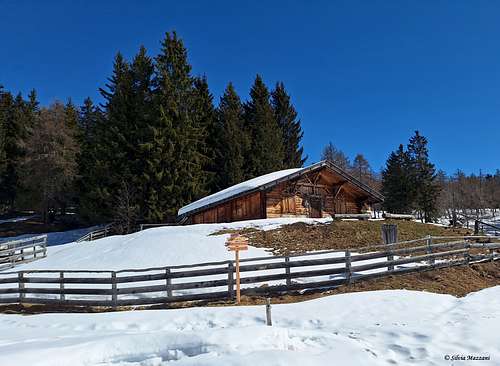
When the path levels out between fir trees and larches you reach the Moschwald Alm 1751 m. Always following the trail no. 51 with some slight ups and downs you reach the Maiser Alm 1797 m.
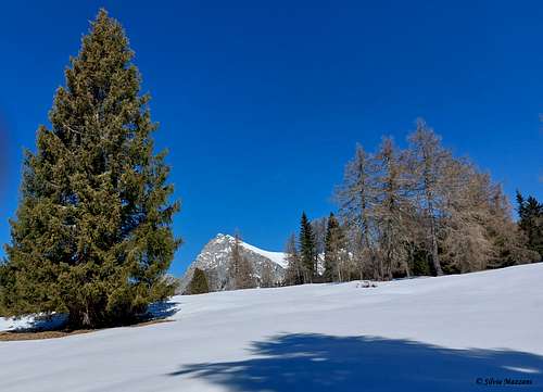
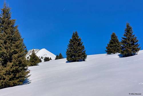
From the alm with a beautiful panoramic route among sparse fir and larch trees in an open environment you reach the Giogo della Croce/Kreuzjochl 1980 m.
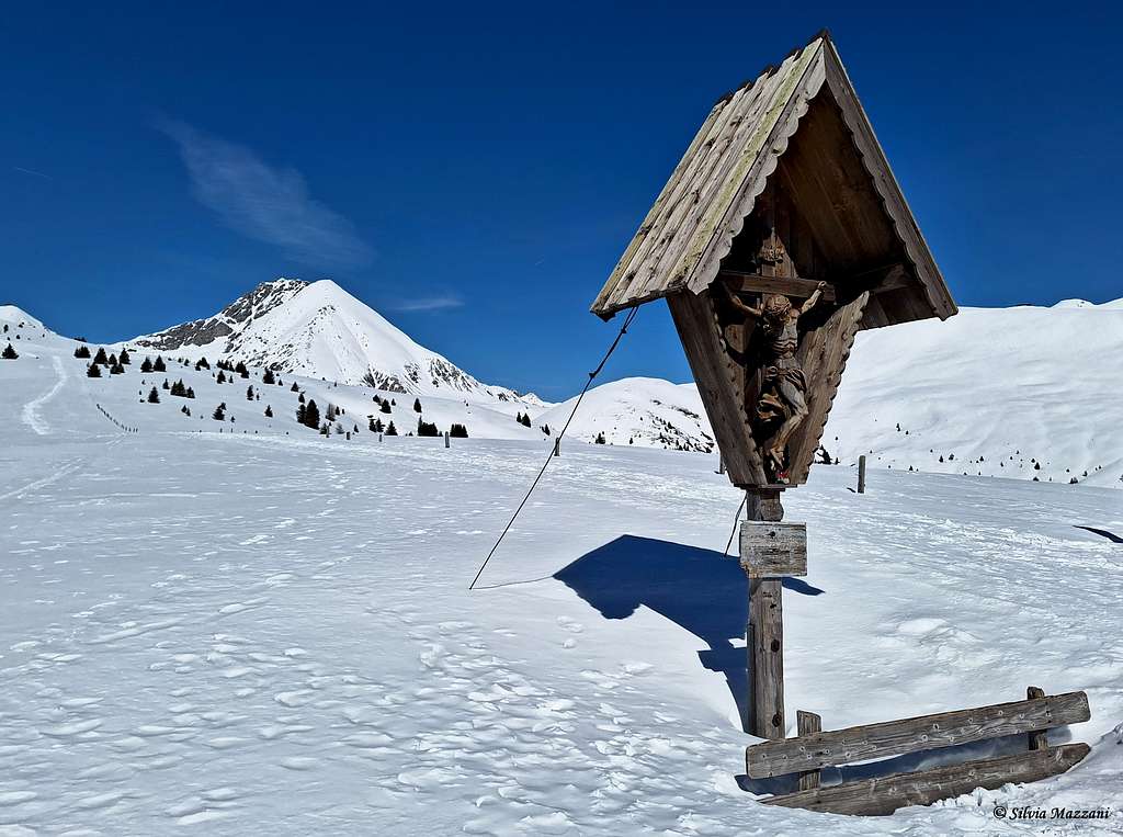
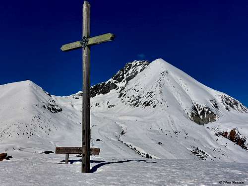
Turning left and following an easy ridge, after a short while you reach the highest point with the summit cross of Monte Spieler 2080 m.
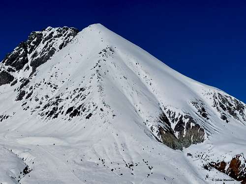
Summit views
Red Tape
No fees no permits required
When to Climb
All year round. Winter climbs require the use of specific equipment, such as snowshoes, skis or crampons depending on the snow conditions. The stability of the snowpack is subject to sudden and unpredictable changes. Always consult the avalanche and weather bulletins to find out the conditions of the snow cover and the level of safety of the itinerary
Accomodation
Different accommodation options in Avelengo