-
 3434 Hits
-
 86.85% Score
-
 23 Votes
|
|
Mountain/Rock |
|---|---|
|
|
41.77426°N / 9.23191°E |
|
|
Corsica |
|
|
Hiking, Mountaineering, Trad Climbing, Sport Climbing |
|
|
Spring, Summer, Fall |
|
|
4865 ft / 1483 m |
|
|
Overview
Geographical classification: Corsica - Corse > Bavella Massif > Punta Velacu
Punta Velacu 1483 m
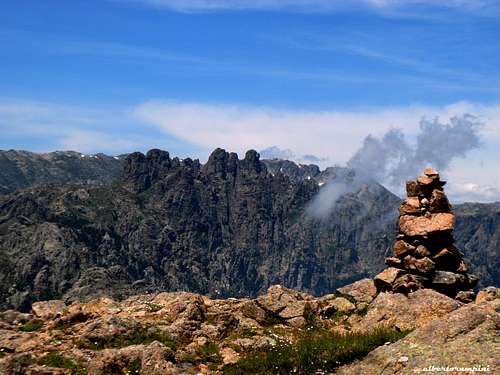
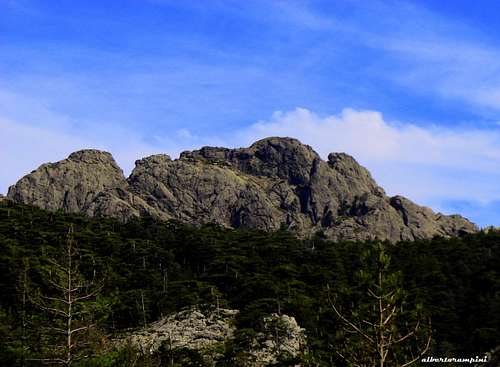
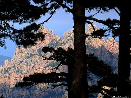
Punta Velacu 1483 m is a summit belonging to the Velacu Group, a small group offering different interesting itineraries, both for climbers and scramblers. It's the highest summit of the Bavella Southern Group, namely the sector located to the south of the valley of San Petru. It's a rounded and yet massive mountain, whose climb lets you enjoy an exceptional panorama of the whole Bavella Massif and the Tyrrhenian Sea. The most interesting routes are the recent modern lines running on the shady and fresh North-West face and the classic and frequently climbed Normal Route, an easy scramble running along a gully located on the left Sector of NW side.
Getting There
Access to Corsica
The magnificent island of Corsica-Corse, l'Ile de Beauté (the Island of Beauty) belonging to France but much closer to Italy, can be easily approached by plane (airports both in Bastia on the Eastern coast and Ajaccio on the Western coast) and by ferry-boat from Livorno and Savona italian ports. The most convenient destination in Corsica to visit the Bavella area, one of the wildest region of the island, is the airport of Bastia if you’re getting there by plane; the same Bastia port if you’re getting there by ferry-boat. The main entrance into Bavella Massif is Col de Bavella m. 1211
Road access to Col de Bavella
- From Bastia (Corsica Eastern coast) follow the road RN 198 to Solenzara; a few kilometers before getting to in Solenzara turn to left, taking the road D268 to Bavella Pass (km. 130 from Bastia).
- From Aiaccio (Corsica Western coast) follow the road RN 196 to Petreto, then the road N852 to Aullene, Quenza and Zonza (km. 90 from Aiaccio).
Kianabavela route report
Punta Velacu - Route Kianabavela
Difficulty: Alpine TD-, 6a+ max, 5c obbl.
Length: 200 m
First ascent: Marie and Jean-Louis Fenouil, Alain Dupaquis, Francoise Le Grand august 2005
Starting point: Col de Bavella
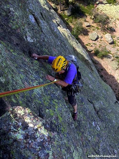
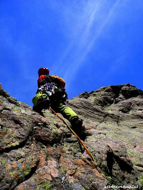
A fun and nice route on excellent granite, involving several stretches of technical climbing, whose overall commitment is limited since the itinerary is a succession of granite slabs, interrupted by grassy gullies that easily allow an eventual retreat. The climb remains worthwhile and very interesting and the environment is superb. Equipped with bolts.
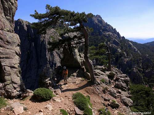
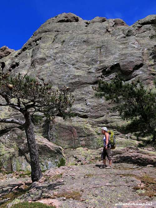
Approach - From Col de Bavella m. 1211 take the forest track which takes its origin just above Bevella Southern parking. Follow it for about a couple of kilometers, ignoring various branches both right and left and reaching a grassy flat area where is located the helicopter landing zone. After a few meters leave the main path leading to U Cumpuleddu and head to right, following a not well worn trail crossing open meadows and heading to the right hand side of the NW wall (cairns). The trail rises inside a wood reaching the bottom of the wall (cairns). Skirt the wall towards right, reaching a steep slab located on the right of a little overhang near a huge pino laricio. Two bolts well visible from the starting point !.(1 hour from Col de Bavella).
Climb report
L1 - Climb the beautiful steep slab in the direction of the overhang, avoid it on the right and then climb slanting left towards a cave. 6a
L2 - Climb the steep wall on the left of the cave. 6a+, great climb
L3 - Descent towards a little spire and climb it along its left edge, reaching the summit. 6a+. With a short abseil gain the bottom of a vegetated gully and head to right to gain the base of a steep wall.
L4 and L5 - Climb this wall (crux at the beginning) and at its summit downclimb or make an abseil to reach a second vegetated gully.
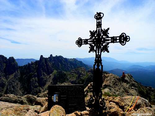
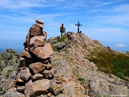
L6 - Climb the spur on the left of the gully getting to the summit iron cross.
Descent: head to East following the airy summit crest reaching the Velacu saddle m. 1445. From here turn to left entering a wide vegetated gully between two massive granite walls, leading to the bottom of Velacu NW face and to the approach path.
Punta Velacu Normal Route
Punta Velacu Normal Route
Difficulty: Alpine F+
Vertical gain: 270 m from Col de Bavella
Starting point: Col de Bavella
It's an advisable scramble up the top of Punta Velacu. A pleasant and easy way to reach the summit of this beautiful and panoramic mountain, offering wide views over the Bavella range and the Mediterranean Sea.
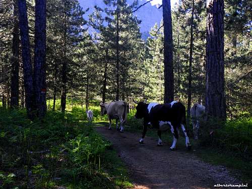
From Col de Bavella m. 1211 take the forest track taking origin just above Bavella Southern parking. Follow it for about a couple of kilometers, ignoring various branches, both right and left, and reaching a grassy flat area where it's located the helicopter landing zone. Cross a stream - dry in summer - and follow for about a hundred meters the path (red marks) for U Cumpuleddu or Trou de la Bombe. Leave the main path and take on the right a not well worn path rising in the direction of the NW face of Velacu, reaching the bottom of a wide vegetated gully, located between the Tour du Roi d'Aragon and Velacu steep NW wall (cairns).
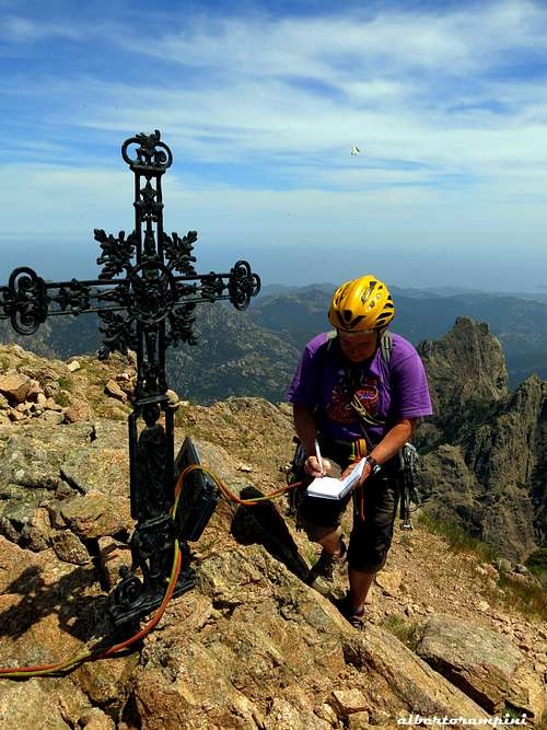
Entering the gully the path steepens, anyhow reaching a saddle at 1445 m. along the summit crest without particular difficulty. From the saddle turn to right (SW) and follow the airy summit crest leading to the wonderful summit cross.
Tafonu di U Compuleddu or Trou de la Bombe
U Tafonu di U Compuleddu
Difficult: Easy walk
Starting point: Col de Bavella
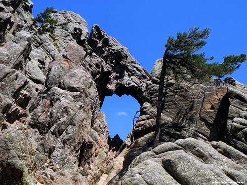
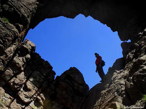
A superb circular walk across well worn paths allows to reach a true curiosity of nature: U Tafonu di U Compuleddu (in corsican dyalect) or Trou de la Bombe (in French), an almost circular hole of several meters in diameter in the rock. The path is easy and marked by cairns and red marks.
No doubt, it's the most popular hike of Bavella. From Col the Bavella 1211 m take the forest road that starts just above the South parking lot. Follow it for about a couple of kilometers, ignoring various branches both right and left and reaching a grassy flat area, where it's located the helicopter landing zone. Leave on the right side the trail to Punta Velacu and continue to follow the main path heading to the East between Punta Velacu on the right and Calanca Murata on the left, quickly reaching the huge hole. The last few meters of easy climb allow to overcome a rock slope and set foot inside the arch. Wonderful!
Nature and climate
Nature is wild and peculiar; in Corsica we can find more than the 5% of authoctonous kinds of flower and plants, in addition to authoctonous fauna. On the contrary, several kinds of animal current inside Mediterranean countries are away from Corsica, like squirrels and vipers.
Climate is the typical one of the mediterranean middle-mountain areas situated at these latitudes: often very hot in summer and with cold and snowy winters; Spring, early summer and early Fall are the better seasons to climb. Due to Bavella closeness to the sea, winds are often stronger how much they are at the same height in the Alps. Rainfall sometimes are important and dangerous when joined with strong winds. On the contrary, sometimes we can find some long periods of drought.
Red Tape
Bavella is a wonderful world, a well preserved microcosm but delicate at the same time situated inside the Parc Naturel Régional de Corse - Parcu di Corsica. Free camping and bivouac are not allowed and fires are strictly forbidden. Maximum care is required to keep for the future this extraordinary environment.
When to climb
Best season to climb Punta Velacu goes from middle May to middle October.
Accomodation
There are several opportunities of accomodation on Bavella Col and surroundings.
COL DE BAVELLA
-Auberge du Col de Bavella – Hotel and Gite d’Etape Auberge du Col de Bavella
-Les Aiguilles de Bavella – Gite d’Etape Gite d'Etape Les Aiguilles de Bavella
ZONZA
– Hotel L’Aiglon, Hotel de la Terrasse, Hotel Incudine - Residence Le Mouflon d'Or - Municipal Camping of Zonza, Camping La Riviere (Road to Quenza), Camping Bavella Vista (Road to Quenza)
There are also two equipped campsites along the road D 268 between Solenzara and Bocca di Larone: Camping U Ponte Grossu - Camping U Rosmarinu


