
|
|
Area/Range |
|---|---|
|
|
50.86588°N / 114.78736°W |
|
|
Hiking, Trad Climbing, Sport Climbing, Scrambling, Skiing |
|
|
Spring, Summer, Fall, Winter |
|
|
10558 ft / 3218 m |
|
|
Overview
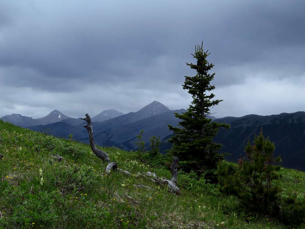
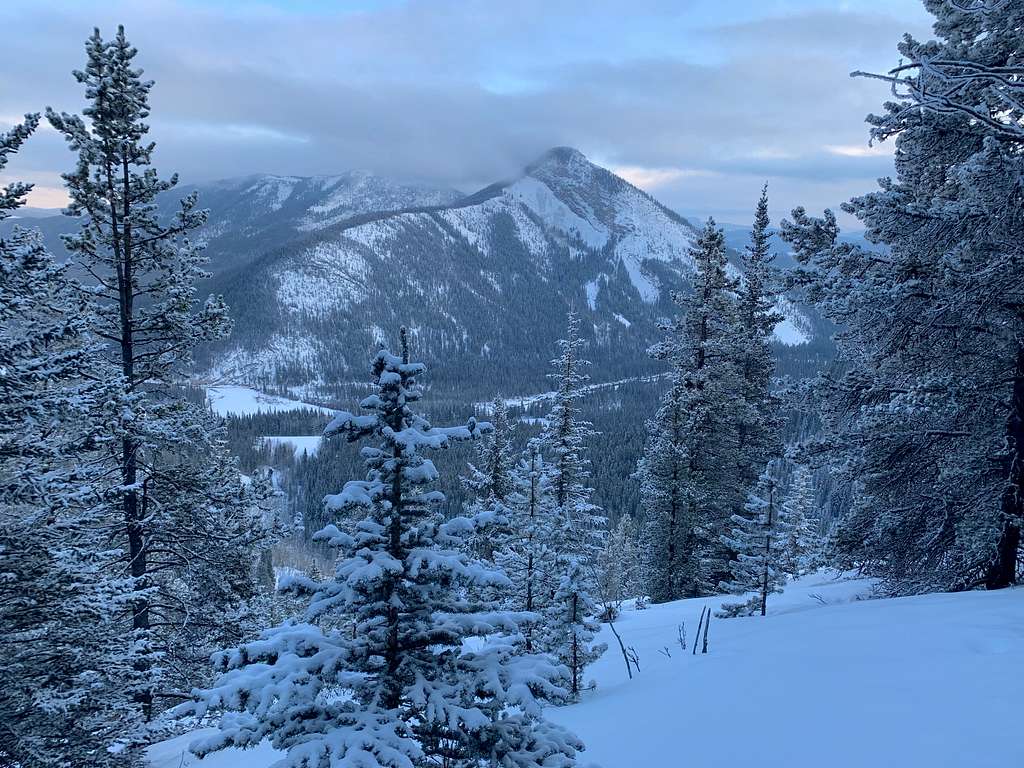
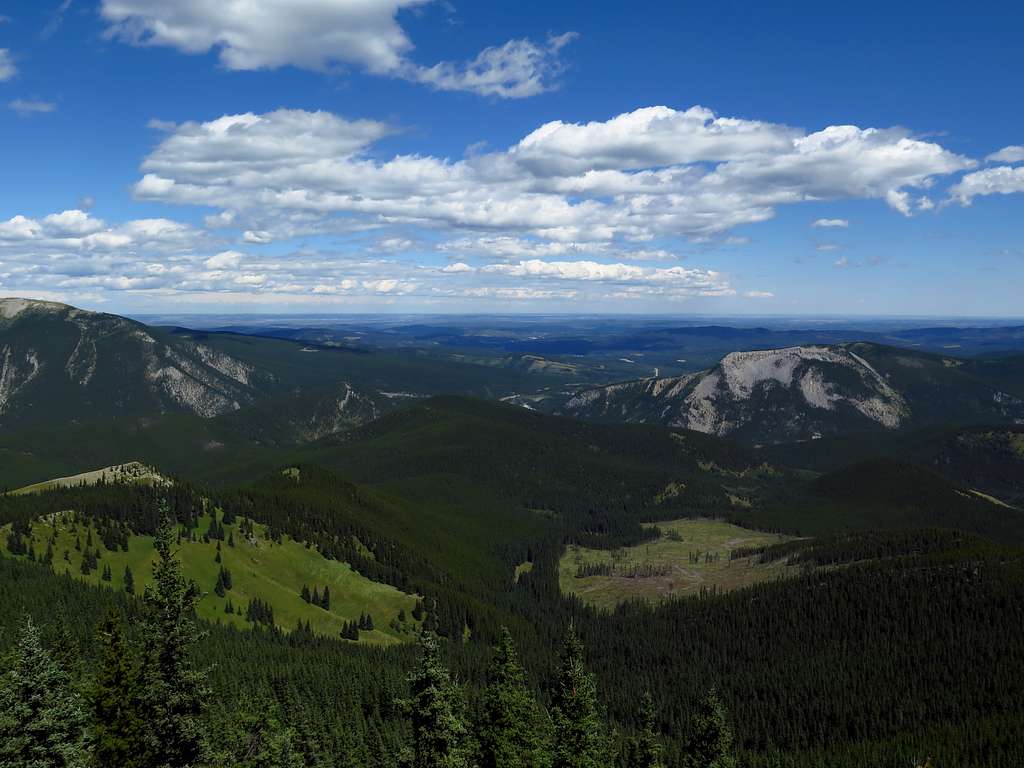
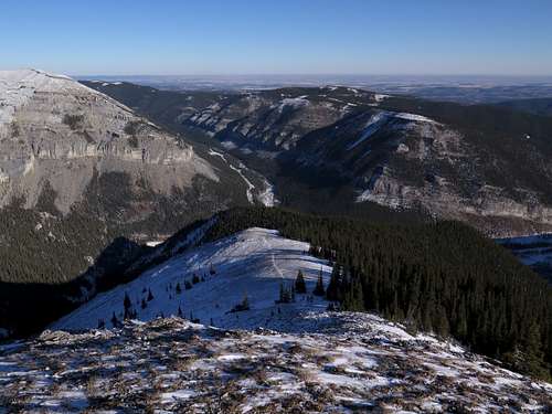
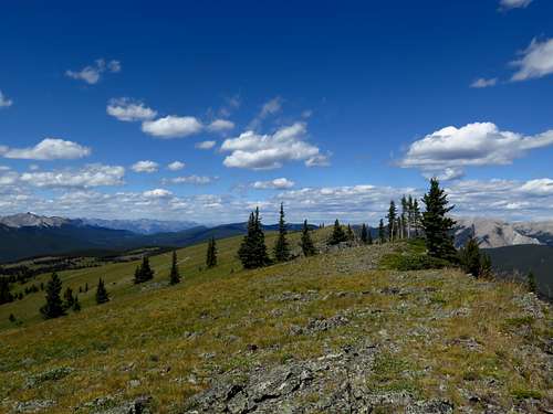
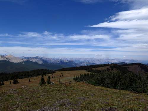
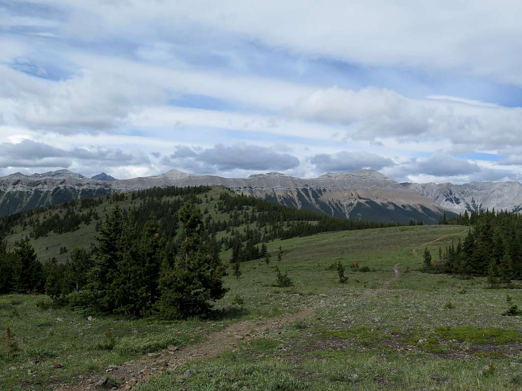
The Elbow River valley is the closest mountain area to Calgary’s 1.3 million people and is accordingly very popular with locals. The Elbow River has its headwaters in the dry front ranges east of the Kananaskis Valley beneath the spectacularly pointy Opal Range. The upper Elbow is a remote mix of dry peaks, alpine meadows and dramatic canyons, with a lot of interesting scramble peaks. The foothills of the Elbow, on the other hand, are a friendly mixture of high alpine ridges, rolling pine and aspen covered foothills and isolated rocky peaks.
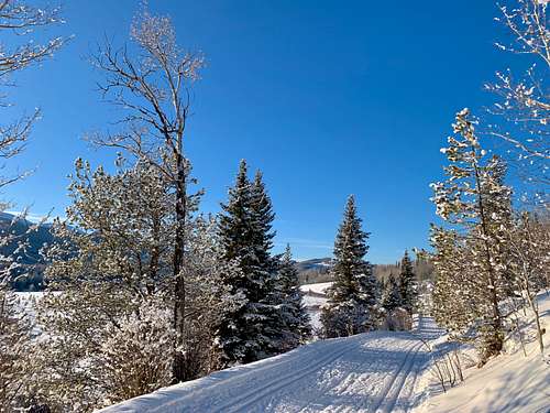
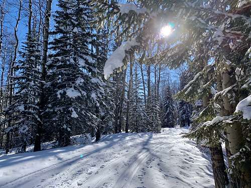
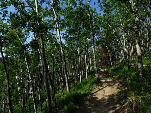
Part of the multi-use area Kananaskis Country, the Elbow’s foothills and Front Range mountains are laced with all manner of trails – hiking trails, mountain biking trails, cross-country ski trails – most of which are very well-maintained by local outdoor societies. The area has become a hotbed for volunteer trail construction initiatives in the last few years, resulting in some very high-quality trail networks.
Map
The Elbow is more or less the area in dark green, while the blue is the rest of Kananaskis Country.
The lay of the land
The Elbow is accessed primarily by Highway 66, an excellent paved road which begins south of the hamlet of Bragg Creek and heads west into Kananaskis Country. The lower end of the Elbow at the eastern edge of K Country is mostly gently rolling pine, spruce and aspen covered foothills. The hills on the north side of the river are criss-crossed by the hiking, mountain biking and cross-country ski trails of the enormously popular West Bragg Creek network. The primary West Bragg trailhead is accessed separately via a road heading west out of Bragg Creek and ending at the parking lot, while the much less busy south trailhead (Allen Bill) is on Hwy 66 just after the bridge over the Elbow River, underneath the big forested bulk of Ranger Hill. Just past Allen Bill is a second trailhead, Station Flats, that also accesses the West Bragg system.
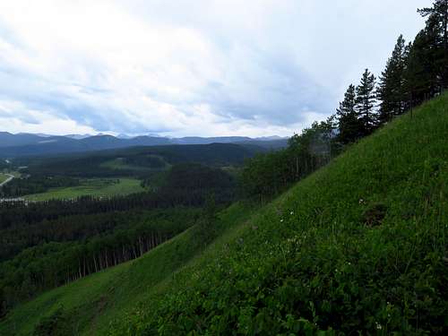
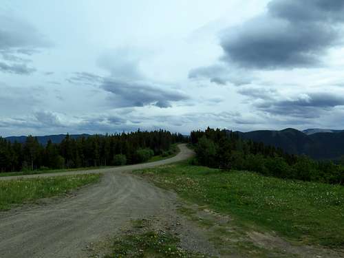
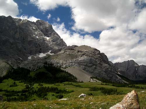
Past Station Flats, the road curves around the south end of the Moose Mountain massif through scenic pine-and-aspen foothills country. Moose Mountain, an island of rock in a sea of foothills, stands apart from the Front Ranges and dominates this part of the valley. Moose Mountain Road, a steep gravel well road, climbs up the southernmost ridge of Moose Mountain to about the 2000m level. En route, it accesses a number of downhill mountain biking trailheads, viewpoints, and gas wells. The Moose Mountain Trailhead itself at the end of the road is the start of the extremely popular hike along the remainder of the fire road to the fire lookout on the summit. Inexplicably, this very well-used trailhead is due to be decommissioned shortly.
But back to Highway 66. After rounding the south end of Moose Mountain, it plunges into the valley of Canyon Creek and passes the Canyon Creek Road. Unfortunately, this gas well road was closed to private vehicles a few years ago, which makes accessing the geologically fascinating Canyon Creek valley with its cliffs and sulfur pools rather difficult.
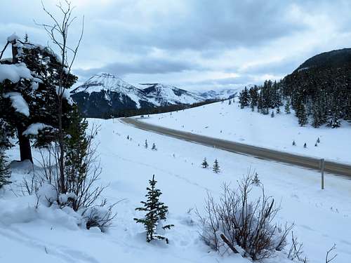
Climbing out of Canyon Creek, the road shortly reaches Elbow Falls beneath Prairie Mountain. Elbow Falls is quite a popular spot, although it was severely damaged by the massive flood of 2013 and all the picnic tables are now gone. Elbow Falls is also the location of the winter gate on Hwy 66, which is closed from December 1-May 14 each year. Just past the gate, Powderface Creek and Prairie Creek join the Elbow. These two valleys and the ridges between and around them, including the exceedingly popular Prairie Mountain, are a year-round hiking hotspot and when the winter gate is closed the line of parked cars behind the gate is extensive.
Past Elbow Falls, the road veers away from the river to get around an unstable canyon and climbs steeply up the shady, secluded valley of Rainy Creek to Rainy Summit beneath the bulwark-like Powderface Ridge.
It then descends in very scenic fashion back to the river and ends at a junction beside the open flats of the river, past which the gravel Powderface Trail carries on.
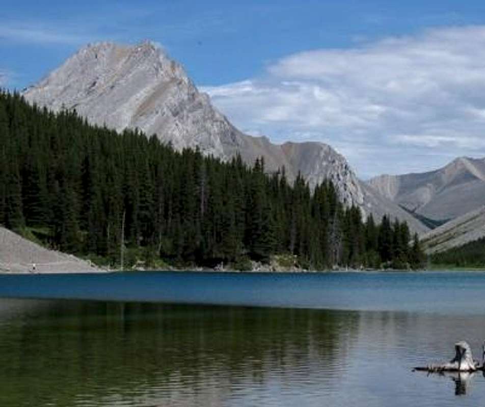
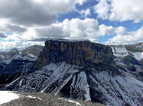
The small paved road to the left accesses Forgetmenot Pond, an extremely popular picnic site, and the Little Elbow Campground, as well as the trailhead for both the trails leading into the upper forks of the Elbow (and a number of other great hikes like Nihahi Ridge and Forgetmonot Ridge). The Little Elbow campground is both the nicest and the most popular campground in the Elbow Valley, but it fills up quickly on summer weekends. The scenery in this geographically secluded part of the valley is dominated by the Forgetmenot foursome of peaks: Banded Peak, Outlaw Peak, Mt Cornwall and Mt Glasgow, which are some of the most prominent and recognizable peaks on Calgary’s mountain skyline. Traversing the four is a somewhat legendary undertaking, but exhausting (40+ kilometers and around 2000 meters of height gain).
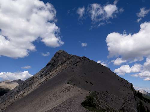
Powderface Trail the road runs up a series of valleys parallel to the grain of the Front Ranges, tucked away behind the Moose Mountain massif. Though heavily used as a logging road, the grassy alpine ridges east of the road (Powderface, Jumpingpound, Cox) and the dry Fisher Range to the west are excellent for hiking and scrambling.
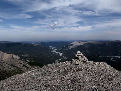
The Elbow has two separate headwater streams, the Big Elbow and the Little Elbow, which meet at the Little Elbow campground. Both start in the upper Front Ranges (the relatively dry eastern ranges of the Canadian Rockies). The Big Elbow begins as a tiny stream beneath the diminutive Rae Glacier on the slopes of Mount Rae, the highest peak in the Elbow (and also the highest visible from Calgary). It then flows into Elbow Lake, which sits right on Elbow Pass. The backcountry campground at Elbow Lake is only a few kilometers from Highway 40 to the west and is accordingly a very popular mini-backpacking trip, as well as being the main entryway into the upper Big Elbow valley.
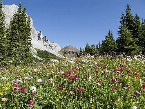
An old fire road, nowadays maintained as a hiking and mountain biking trail called the Big Elbow trail, descends from the lake through open subalpine meadows to the “grand junction” of Tombstone backcountry campground beneath Tombstone Mountain, the main basecamp for exploring the Big Elbow. (En route, the stunning alpine valley of Piper Creek departs to the north. At its head are some of the best wildflower meadows in the Canadian Rockies.) South of Tombstone is a broad pass to the Sheep River valley, and north of Tombstone is Tombstone Pass between the Big Elbow and Little Elbow watersheds. Tombstone Pass is one of the best alpine larch locations anywhere.
The Little Elbow fire road/trail leaves Tombstone over Tombstone Pass, while the Big Elbow trail keeps heading down the Big Elbow. After descending in waves past Banded Peak and the entrance to Cougar Creek, it reaches Big Elbow backcountry campground (seldom used) and a vast flat between the Forgetmenot foursome of peaks and Forgetmenot Ridge. At the end of this flat it reaches the Little Elbow as well as Highway 66, Forgetmonot Pond and the Little Elbow campground.
The Little Elbow starts in three forks in the Opal Range before joining at the Mount Romulus backcountry campground north of Tombstone Pass and flowing through many rapids to the forks at the Little Elbow campground. To the north of the Little Elbow lies the very dry, almost desert like Fisher Range, which is prime scrambling country.
I didn’t mention the south side of the river in the foothills. Unfortunately, most of the area east of Forgetmenot Ridge and south of the river is an off-highway vehicle zone that is generally used and abused.
Getting There
As mentioned, the main access into the Elbow is via Highway 66. This excellent paved road starts a short distance south of the hamlet of Bragg Creek (about 20 minutes west of Calgary) on Highway 22 and ends beneath the eastern wall of the Front Ranges. From here, the gravel Powderface Trail (heavily used by logging trucks) heads north parallel to the Front Ranges behind Moose Mountain to Hwy 68 (Sibbald Creek Trail, also gravel). Hwy 68 runs parallel to the Trans-Canada Highway through the northern end of K Country and connects to the Trans-Canada around half an hour west of Calgary as well as to the northern end of Highway 40 (Kananaskis Trail).
The West Bragg Creek trailhead is accessed from Bragg Creek. At the 4-way stop by the gas stations, go west on Bracken Avenue across the bridge to the 3-way stop and turn left on Centre Avenue/Township Road 232, which dead ends at the very large West Bragg Creek parking lot. Usually there will be lots of other cars.
The upper end of the Elbow is usually accessed from the Elbow Lake trailhead just north of Highwood Pass on Highway 40, about half an hour south of the Trans Canada.
Land Management/Red Tape
No red tape for non-motorized users, other than the fact that random camping is not allowed in the roadside recreation areas and that you mustn’t walk, bike or ride horses on cross-country ski trails (except those designated multi-use) when they’re groomed, both of which are good rules to have in place. There are tons of other options for equestrians, fat tire bikers and walkers in the winter. Update: as of June 1, 2021, user fees are required for K Country. See https://www.alberta.ca/kananaskis-conservation-pass.aspx
The upper Elbow in the Front Ranges as well as the area around Forgetmenot Ridge are protected in wildland provincial parks. Strangely given their extreme popularity, most of the Elbow foothills remain unprotected from industrial exploitation like clearcut logging. Needless to say, this has resulted in some huge battles between the outdoor community and logging interests.
External Links
Kananaskis Country (Alberta Parks)
Greater Bragg Creek Trails Association
Moose Mountain Bike Trail Society
Elbow-Sheep Wildland Provincial Park information and facilities
Camping
There are four frontcountry campgrounds in the Elbow, from east to west Gooseberry, Paddy’s Flat, Beaver Flat and Little Elbow. All of these campgrounds, but especially Little Elbow, fill up extremely quickly on summer weekends. Little Elbow is probably one of the most popular campgrounds in the Canadian Rockies, and one of my favorites. It’s well maintained, is situated on a beautiful terrace above the river, has excellent dark night skies (despite being only 45 minutes from a major city) and provides a no-drive base camp to a lot of great hiking and mountain biking trips.
Despite being quite well-used, Gooseberry campground at the east entrance to K Country is due to be decommissioned shortly as part of the new Alberta government’s mad scheme to erode Alberta Parks (see also this, this, and this ) which will only increase pressure on the other campgrounds in the Elbow.
Reccommended Resources
Gillean Daffern's very comprehensive and well-written Kananaskis Country Trail Guide volume 2 and Gem Trek's Bragg Creek and Sheep Valley 1:50000 topo and trail map are by far the best guidebook and map for the area, in my opinion. Please note that this reccomendation is meant to be helpful and I am not in any way affiliated with those selling these products.