-
 6817 Hits
-
 87.76% Score
-
 25 Votes
|
|
Mountain/Rock |
|---|---|
|
|
46.25518°N / 114.32843°W |
|
|
Ravalli |
|
|
Hiking, Skiing |
|
|
Spring, Summer, Fall, Winter |
|
|
8685 ft / 2647 m |
|
|
Overview
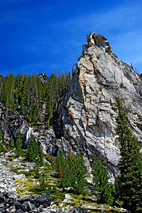
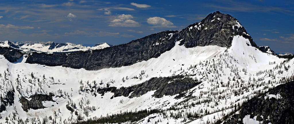
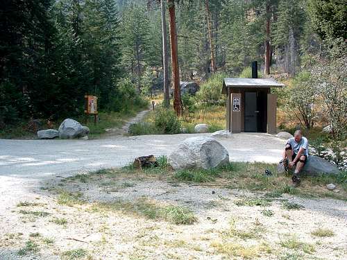
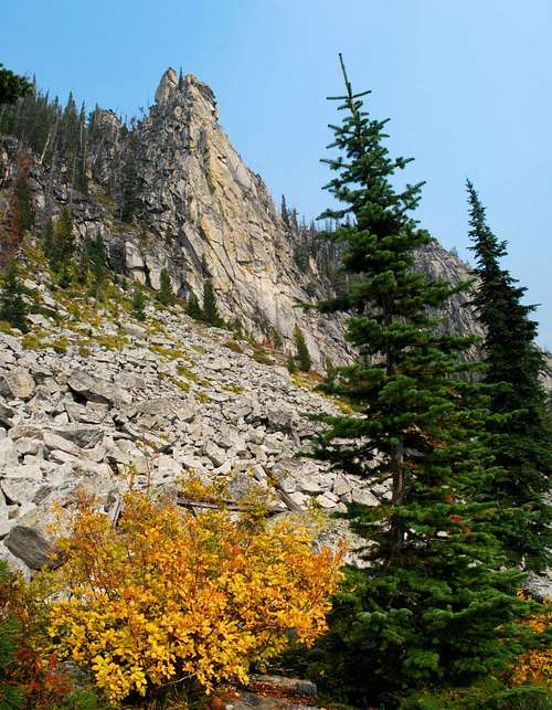
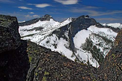
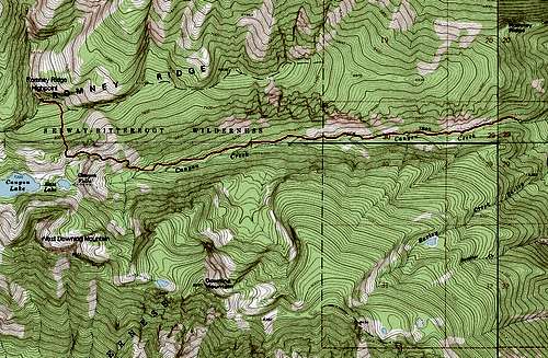
Latitude & Longitude – 46.25518 N/ 114.32843 W Elevation – 8,685' Route Type – Hike Class Level – Class 2 Length of Time Required to Complete Route – Most of a Day (round trip) As one looks west at the Bitterroot Mountains from Hamilton, Montana, what immediately draws the eye is a high canyon cut into a behemoth of tree-covered granite dominating the view. Just visible at the west end of this hanging canyon is the highest point of the cirque, Canyon Peak (9,154’), one of the most sought-after – by climbers – of the high Bitterroot peaks, desired because of the exposed routes which must be mastered if one expects to reach its airy summit. If you pick your viewpoint carefully, during late spring and early summer it’s possible to see Canyon Falls spilling down slab-granite high in the cirque as it drains three high mountain tarns with a thunderous roar which can be heard for miles. The south side of the canyon contains several seldom-visited highpoints rising above 8,500 feet, the highest of which is Downing Mountain (8,690’). The highest point on the north side of this high cirque is seldom-visited North Canyon Peak (9,042’). Separated from North Canyon Peak by a deep cut is the highpoint of the long east-west ridge leading upward from the much-visited tourist spot, the Blodgett Canyon Overlook. The highpoint of Romney Ridge (8,685’) is not visited by many climbers, though with a summit only 5 feet lower than Downing Mountain, it probably should be. Still, it’s understandable that climbers are distracted by the exposed east face of the majestic Canyon Peak which increasingly dominates the view as one climbs higher along the Canyon Creek Trail. But I stand by my belief that the Romney Ridge Highpoint should be visited by more climbers. Though only a hike, having to gain slightly over 1,200 feet over the last .75 mile of the route makes it a bit more than an "easy walk in the park." And the views? Well, let me just say that the spectacular views of Canyon Peak, North Canyon Peak, and the Downing Mountain ridge can be achieved from no other vantage point and are well worth the effort. In fact, I’ll go so far as to say that only from the Romney Ridge Highpoint can a person gain a true appreciation for the high canyon (cirque) drained by Canyon Creek. Getting ThereGo west on Main Street in Hamilton, MT. As you leave town you will cross a bridge over the Bitterroot River. Immediately after crossing the bridge, turn right (north) onto Ricketts Road. In about a half mile you will come to an intersection. Turn left (west) onto Blodgett Camp Road. Drive on Blodgett Camp Road (it will shortly turn to gravel) for about 2.5 miles where you will reach a clearly marked intersection. Turn left (west) onto the gravel road which dead-ends at the Canyon Creek Trailhead in another couple of miles. There is ample parking at the trailhead, and since the spring of 2006, there is also an outhouse. Area Restrictions (Red tape)Romney Ridge sits on the dividing line between National Forrest and official Wilderness Area. Though there is little difference between the rules and regulations which a hiker/climber should follow in either of the two areas, it’s prudent to follow the more stringent – those that apply to wilderness areas.CampingIf you don’t mind hikers passing close to your tent, there are a couple of places along the Canyon Creek Trail where people often camp. My preference, however, would be to camp in one of the small grassy meadows shortly after leaving the official trail in order to enjoy a little solitude.The Route
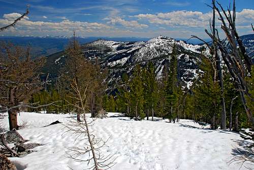
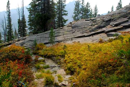
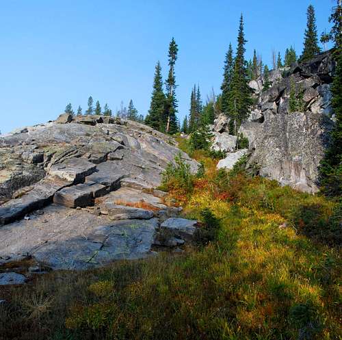
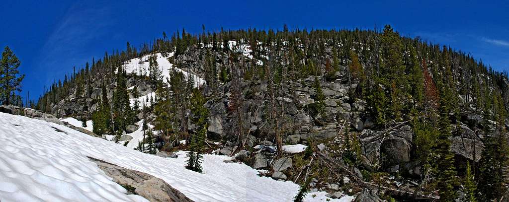
Approach – Canyon Creek Trailhead to Trail's Apex Begin hiking west along the Canyon Creek Trail as it follows the creek upstream through fairly thick woods. Receiving only moderate use by local hikers to reach Canyon Lake, the trail is not always in a perfect state of repair. In fact, as of this writing it’s in the worst condition I’ve ever seen it, with plenty of new deadfall blocking the trail. This was obviously caused by the unusually heavy snows the Bitterroot Mountains received this past winter (2007-08). Even during the best of years, the footing is poor in many places as the trail winds its way over exposed tree roots and rocks. Initially there is little to see other than an occasional glimpse (through the trees) of rocky spires high on the canyon walls. At around 3.25 miles from the trailhead, the track begins to traverse up the north canyon wall using a series of rather steep switchbacks. This is the first place which allows good views of the surroundings. Reaching its apex above Canyon Falls at just over 7,400’ (4 miles from the trailhead), the trail begins to descend toward Canyon Lake. At this point the Climbers’ Route to the Romney Ridge Highpoint begins. Just after the trail begins to descend, it enters an open grassy area with a small ridge of slab granite rising on the right (west). Climb onto this low and rounded ridge and begin following its crest to the west. As you climb, study the south face of Romney Ridge to your immediate north (right). Look for a path to your liking up through the open woods growing on a mix of rock and Beargrass. Once you see a track you like, take it. There is no "best" way up this face. Any track is as good as another. Keep in mind that until you reach an elevation around 8,000’, on your right (east) the incline is steeper and on your left (west) less so. Once you pass 8,000’ the steepness of the incline lessens and the woods is even more open. The route I took proceeded almost directly north up the face, though it meandered a bit as I sought better footing or attempted to avoid large downed trees. If your track comes close to duplicating mine, you will reach the ridge slightly east of the summit. This worked out rather well as it afforded an opportunity for me to study the surrounding wilderness while I proceeded west up the much easier incline for the last hundred yards to the summit block, well hidden behind a grove of Whitebark Pine and Alpine Larch. When To GoThe Romney Ridge Highpoint can be reached at any time of the year. During the winter months, there are times when the highest section of the road to the trailhead will be snow covered and not passable by vehicles. Those conditions will obviously lengthen the route.At one point along the route I saw signs of avalanche activity which could cause problems under certain conditions – just before reaching the apex of the Canyon Creek Trail. Be advised, stay alert, and be careful. Essential GearDuring much of the year the route to the summit is a Class 2 hike requiring only sturdy hiking boots, plenty of liquid to ingest along the way, and weather-appropriate clothing. If snow is present, either snow shoes or skis with skins will be required. Depending upon the actual condition of the snow, it’s possible crampons and an ice axe will be required during the ascent and descent of the ridge’s south face (last .75 mile below the summit).Route Statistics |


