-
 15413 Hits
-
 89.39% Score
-
 29 Votes
|
|
Mountain/Rock |
|---|---|
|
|
46.07316°N / 114.4124°W |
|
|
Ravalli |
|
|
Hiking, Mountaineering, Scrambling |
|
|
Summer, Fall |
|
|
9162 ft / 2793 m |
|
|
Overview
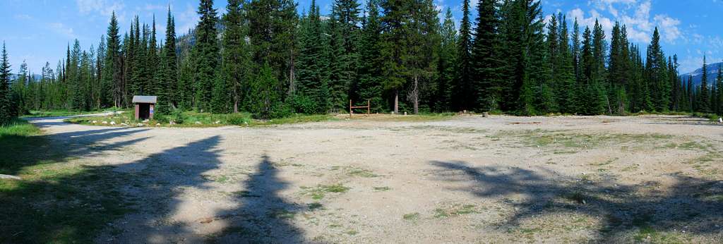
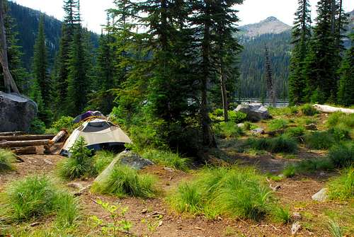
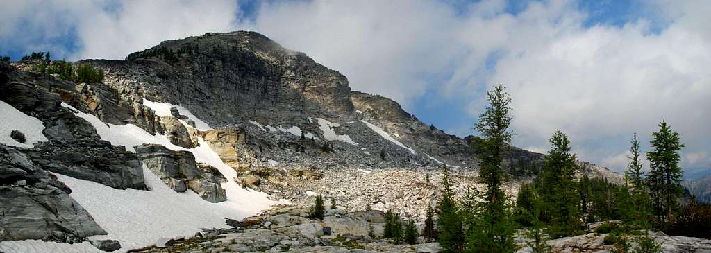
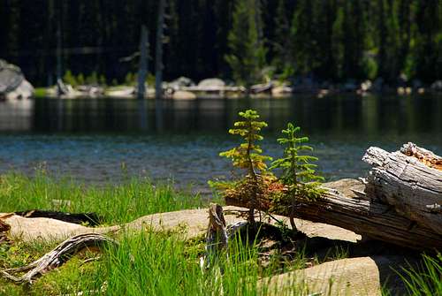
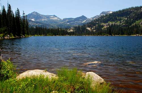
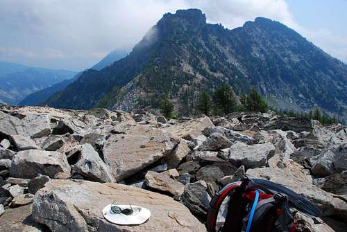
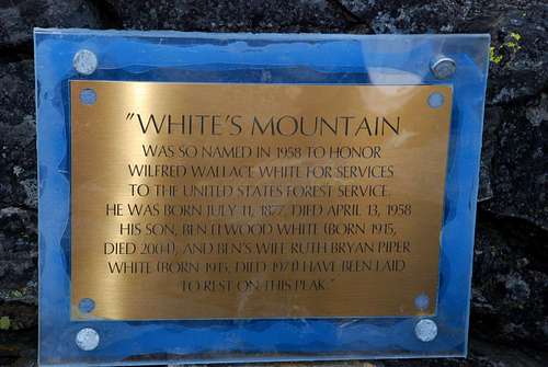
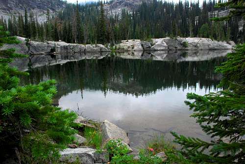
Whites Mountain is located between the Rock Creek Drainage (to the south) and the Lost Horse Drainage (to the north). It’s way back in the Bitterroots, on the Montana side of the state line, though some consider the best access to be from Idaho. Because of its remoteness, this peak is seldom climbed. When I reached the summit on July 19, 2007, it was obvious (from the little-worn track near the summit) that I was one of a limited number who had made the effort to reach the summit. In a way it’s too bad more don’t visit this highpoint in the midst of pristine wilderness. The peak was named in 1958 for Forest Supervisor, Wilfred Wallace White (born July 11, 1877, died April 13, 1958). A plaque on the summit states that the remains of Wilfred’s son, Ben, and his daughter-in-law (Ben's wife), Ruth, have been laid to rest on the mountain. Getting ThereBear Creek Pass Trailhead Drive south from Hamilton, MT on Highway 93 for a little over 9 miles. Turn right (west) onto Lost Horse Creek Road. Drive almost 18 miles to the Lost Horse Guard Station where the road forks. Stay left, following the sign for Bear Creek Pass. (The right fork will take you to Twin Lakes). Drive another 1.2 miles to the camping and parking areas – camping to the right, parking to the left. There is an outhouse available along with facilities for loading and unloading stock animals. The trail is south-southeast of the outhouse and not easily visible until you’re close. It is marked with Forest Service signs. CampingWithout legs of steel, anyone wanting to climb Whites Mountain is likely to establish a base camp and climb from there. The area near the peak is absolutely littered with lakes, many of which provide good places to camp. But because of the proliferation of insects, I suggest you place your tents a good distance from water. Otherwise, well, you will be eaten alive. Area Restrictions (Red tape)Whites Mountain is in an official Wilderness Area. Wilderness rules and regulations apply.The RoutesClick on the links in the caption of the picture for information about the routes on Whites Mountain.
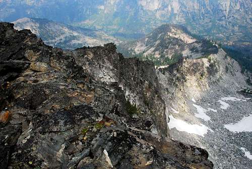
Additional Route InformationWhen I awoke the morning I planned to climb Whites Mountain, it was to discover the clouds had descended almost to the ground at base camp (6,700’). I’d made plans to reach Whites summit using the North Ridge then descend by the Southwest Ridge.I decided to stick with my plan in spite of the low cloud cover, because I’d saved strategic waypoints to my GPS and knew I should be able to stay on course. That worked fine until I reached a point high on the North Ridge which required that I continue climbing at the limit of my skills. Because I was climbing alone and because the mist prevented me from seeing what lay ahead, I decided it was prudent to find another route to the summit. I down-climbed into the cirque on the northeast face of White’s and crossed to the East Ridge where I had caught a glimpse, through a momentary break in the mist, of terrain which looked to be no more difficult than lower Class 3. It turned out to be Class 2 from the saddle to the summit. (Okay, I think I may have put my hand down a time or two on the talus. Does that make it Class 3?) After reaching the summit, I down-climbed along the North Ridge far enough so I could see what difficulties presented themselves. It turns out I could have continued climbing the North Ridge. After climbing above The Notch, the level of climbing appears not to exceed Class 4 and most of the time remains Class 3. That is, as long as you remain on the west side of the ridge. The east side clearly requires Class 5. I wish the weather had been clear so I could have seen where I was going. In retrospect, I think I made the correct decision and would do so again in similar circumstances. Even if I would have continued climbing the North Ridge, the summit would have been shrouded in cloud when I arrived. By taking a different route, at least it had cleared enough (by the time I reached the summit) to afford some nice views. For that, I was thankful. When to GoThis peak is almost unreachable during snow conditions unless you’re willing to ski or snowshoe a long way. Lost Horse Road is closed during winter and sometimes doesn’t open until late June – portions of it are often washed out during the spring melt. It is possible to reach Whites Mountain from the Rock Creek Trail, even during winter. But it’s a much longer hike (snowshoe or ski in winter) and bushwhacking through dense forest is required. So, I suggest climbing this peak during the summer or fall (before the snow flies). Just a Few More Pictures |


