-
 27580 Hits
-
 85.35% Score
-
 20 Votes
|
|
Mountain/Rock |
|---|---|
|
|
46.64801°N / 114.22049°W |
|
|
Ravalli |
|
|
Hiking, Mountaineering, Scrambling, Skiing |
|
|
Spring, Summer, Fall, Winter |
|
|
9161 ft / 2792 m |
|
|
Overview
Latitude & Longitude – 46.64801 N / 114.22049 W
Elevation – 9,161'
Route Types – Hike, Scramble
Class Levels – Class 2, 3, 4, & 5
Length of Time Required to Complete the Routes – One Day
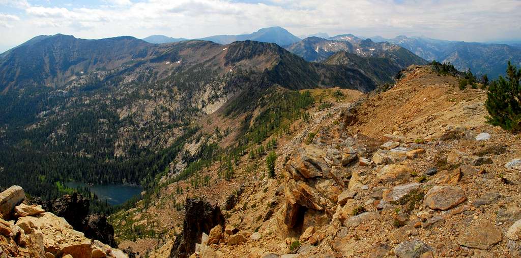
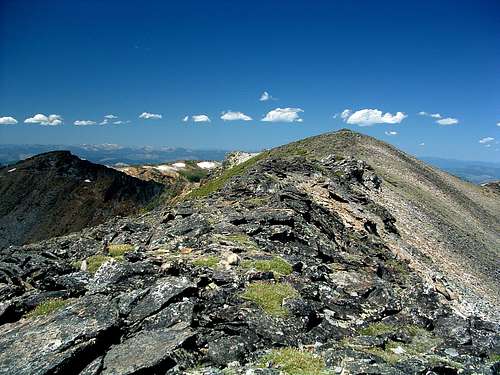
Sweeney Peak is almost seven miles and (just north of) west from Florence, Montana. As one drives west on the Eastside Highway toward Florence, there is a wonderful view of the mountain, its east ridge rising from the valley floor.
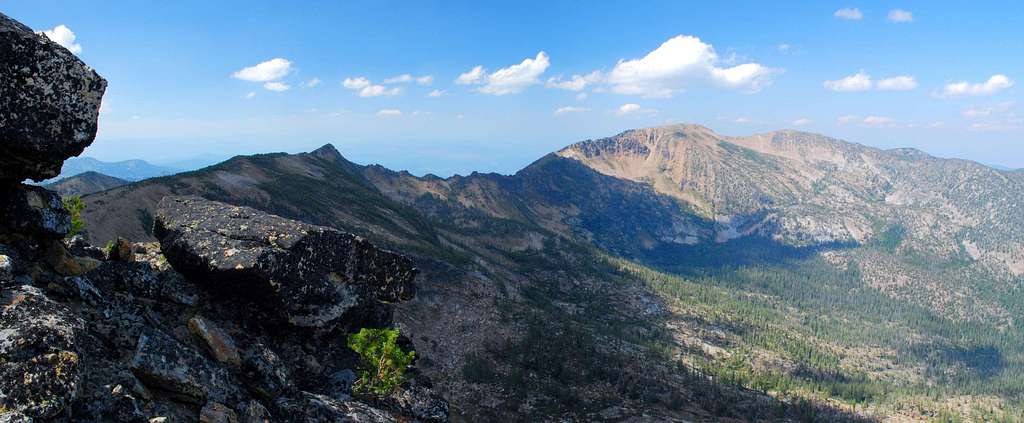
Looking west into One Horse Canyon, just north of the peak, it's possible to see the long craggy ridge which connects Sweeney and Lolo Peaks. To the south, across Sweeney Creek, lie Little St Joe Peak, and, barely visible from the vantage point on the highway, Saint Joseph Peak. Far back (to the west) in Sweeney Creek Canyon the seldom-visited Pyramid Buttes are clearly visible.
This mountain is not difficult to climb and its summit is visited all year long. Those who are not averse to going off trail, find the summit a peaceful place to view the surrounding Bitterroot summits, and far below, the Bitterroot Valley. Many consider the backcountry skiing on the highest portions of Sweeney Peak to be the best available in the Bitterroot Mountains.
Getting There
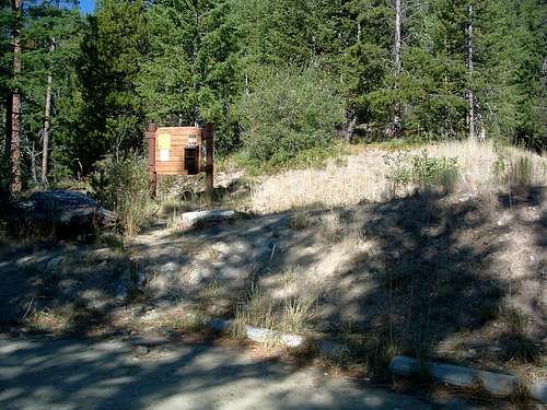
From Florence, MT drive south on Hwy 93 about 1.5 miles and turn right (west) onto Sweeney Creek Loop. Where the road turns left (south) after one mile, continue straight (west) for about 0.4 miles on gravel past residences to a junction.
Turn right (north) onto FR 1315 following the signs to Sweeney Creek Ridge Trail. Drive nearly six miles to the end of the road.
There are no restroom facilities. Parking space is limited, so arrive early, especially on weekends. In the winter one can simply drive to the snow-line and park on the side of the road.

Area Restrictions (Red tape)
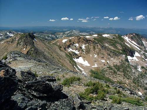
After you've left the official Sweeney Creek Ridge Trail and reached Sweeney Peak's east ridge-crest, you will be in an officially designated Wilderness Area. But since there is no maintained trail on the ridge, there is no official sign indicating the edge of the Wilderness. Nonetheless, all Wilderness rules and regulations apply.
Camping
Some climbers car-camp at the trailhead in a well-established camp site just off the northeast corner of the parking area.
However, there is another (much nicer) site at the spot where a small stream crosses the Sweeney Creek Ridge Trail about 2.3 miles from the trailhead (46.63391 N / 114.18281 W, elevation 7,350'). This is also the place where you leave the maintained trail and begin route-finding as you work toward the summit.
The Routes
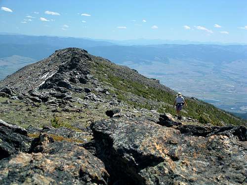
The most-used route to the summit of Sweeney Peak proceeds up the East Ridge. The first portion follows the Sweeney Creek Ridge Trail before leaving the track 2.3 miles from the trailhead and continuing upward close to the crest of the ridge. This route is a fairly easy Class 2 hike.
Another route approaches the summit from the west along a long ridge-crest, the Lolo-Sweeney Connecting Ridge. If a climber stays close to the connecting ridge-crest, this route has one section which goes at Class 5. However, it is possible to keep the difficult section of this route at Class 4 (or even Class 3) by dropping father off the ridge. (Basically, the farther off the ridge-crest you drop, the easier the climbing.)
When To Go
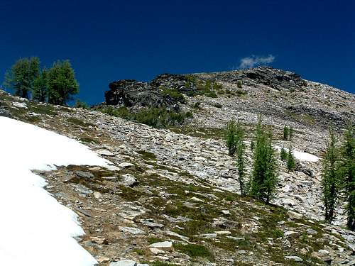
Climbers can and do visit the summit during every month of the year using the East Ridge route. Because the route follows the ridge-crest much of the way, there is little chance of avalanche, though the northeast and south bowls on the peak are susceptible and skiers who use them should be aware.
Although I believe it would be possible to follow the Lolo-Sweeney Connecting Ridge route when it is snow covered, it would be especially arduous and possibly dangerous. Lolo Peaks and portions of the ridge receive strong winds all year long. Those would have to be dealt with, as would navigation of the cornices which form along the connecting ridge.
Keep in mind that both routes will be considerably lengthened when there is deep snow on the access road to the Sweeney Creek Trailhead, forcing a start from lower elevations. The road to Lolo Peaks Mormon Peak Trailhead is closed during much of the winter, which means climbers are forced to use the much lower Mill Creek Trailhead, adding about 5 miles to the Lolo end of the climb.


