Routes


Tirol, Austria, Europe
14 miles away
Route Type: HikingDifficulty: easy glacier hike
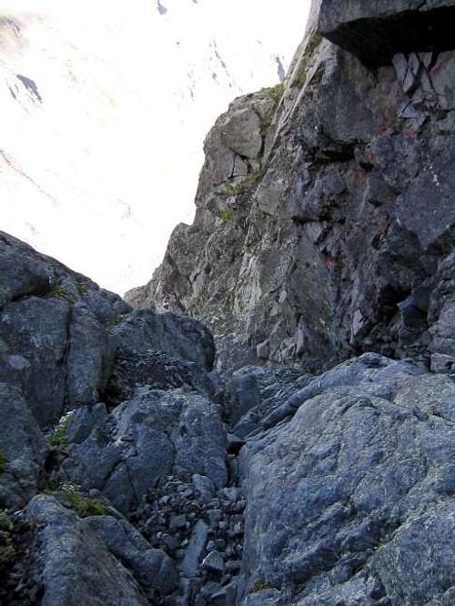
Parents: Weißseespitze


14 miles away
Route Type: Hiking, MountaineeringDifficulty: Snow or firn > 45°, rock I.
Parents: Weißseespitze


Tyrol / South Tyrol (Oetztal Alps), Austria/Italy, Europe
14 miles away
Route Type: Glacier climbDifficulty: PD+
Parents: Weisskugel / Palla Bianca

Italy, Europe
14 miles away
Route Type: SkiingDifficulty: BSA / PD / S3
Parents: Weisskugel / Palla Bianca

")
Austria, Europe
15 miles away
Route Type: Ice ClimbingDifficulty: WI 4/4+
Grade: III
Parents: Ötztal Alps


Tyrol, Austria, Europe
15 miles away
Route Type: MountaineeringDifficulty: F
Parents: Hoher Seeblaskogel

Tirol, Austria, Europe
16 miles away
Route Type: SkiingDifficulty: Moderate Ski Tour
Parents: Hoher Seeblaskogel

Tyrol, Austria, Europe
17 miles away
Route Type: MountaineeringDifficulty: AD
Grade: IV
Rock Difficulty: 5.4 (YDS)
Parents: Hoher Seeblaskogel

Tyrol, Austria, Europe
17 miles away
Route Type: via ferrataDifficulty: UIAA I
Parents: Rinnenspitze

Tyrol (Oetztal Alps), Austria, Europe
17 miles away
Route Type: hiking, easy glacier climb, little scramblingDifficulty: F
Parents: Glockturm


South Tyrol / Alto Adige, Italy, Europe
18 miles away
Route Type: HikingDifficulty: Exposed hike
Parents: Telfer Weissen / Cime Bianche di Telves Roßkopf / Monte Cavallo

Tyrol, Austria, Europe
18 miles away
Route Type: Ice climbDifficulty: 45° to 55° slope
Parents: Habicht

Tyrol, Austria, Europe
18 miles away
Route Type: Basically hike and easy scramble, one snow field mDifficulty: Hike and scramble
Parents: Habicht

Tyrol, Austria, Europe
18 miles away
Route Type: Walk and easy climbDifficulty: UIAA II
Parents: Habicht

Tyrol, Austria/Italy, Europe
18 miles away
Route Type: ScrambleDifficulty: I - II (fixed ropes)
Parents: Gschnitzer Tribulaun
Tyrol, Austria/Italy, Europe
18 miles away
Route Type: ScrambleDifficulty: I -II (fixed ropes)
Parents: Gschnitzer Tribulaun


Tyrol, Austria, Europe
18 miles away
Route Type: Hike / ScrambleDifficulty: Walk-up
Parents: Schoentalspitze

South Tyrol / Alto Adige, Italy, Europe
18 miles away
Route Type: Hiking, Scrambling, Via FerrataDifficulty: Easy Ferrata
Parents: Sarner Weißhorn/ Corno Bianco di Penes


Tyrol, Austria, Europe
19 miles away
Route Type: Via FerrataDifficulty: Grade C
Parents: Sellrainer Berge

Tirol, Austria, Italy, Europe
20 miles away
Route Type: HikingDifficulty: Hike
Parents: Grubenkopf / Monte delle Cave
 Trail")
Tirol, Austria, Italy, Europe
20 miles away
Route Type: Hiking, SkiingDifficulty: Hike
Parents: Grubenkopf / Monte delle Cave

Italy, Europe
20 miles away
Route Type: Hiking, ScramblingDifficulty: Hike and exposed scramble
Parents: Karnspitz / Cima di Quaire Hoferberg / P 2438 Gentersbergspitze / Monte dei Masi

Tirol / Alto Adige, Austria, Italy, Europe
20 miles away
Route Type: HikingDifficulty: Hike and Scramble
Parents: Woelfeleskopf / Punta del Lupo