-
 6037 Hits
-
 82.48% Score
-
 15 Votes
|
|
Mountain/Rock |
|---|---|
|
|
45.82686°N / 114.42179°W |
|
|
Ravalli |
|
|
Hiking, Scrambling |
|
|
Spring, Summer, Fall, Winter |
|
|
8787 ft / 2678 m |
|
|
Overview
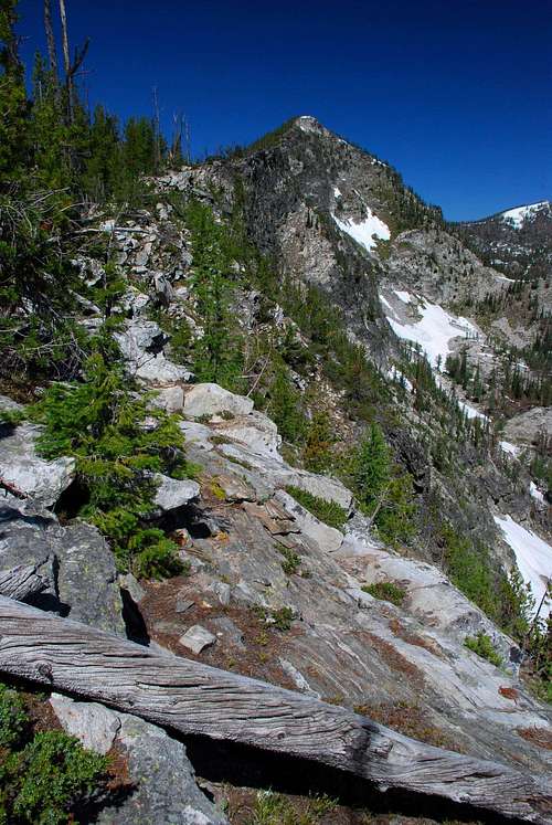
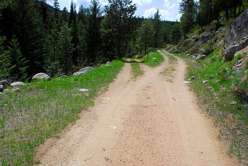
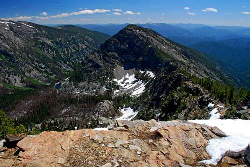
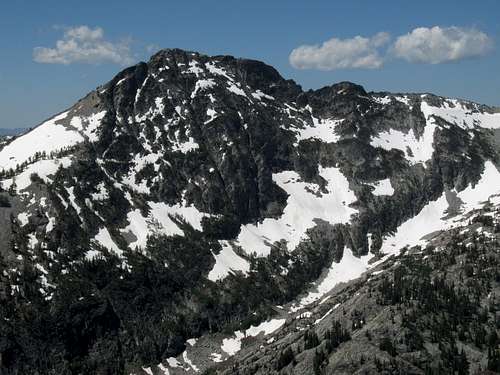
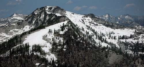
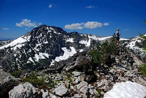
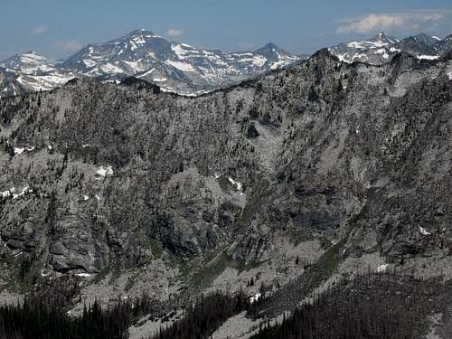
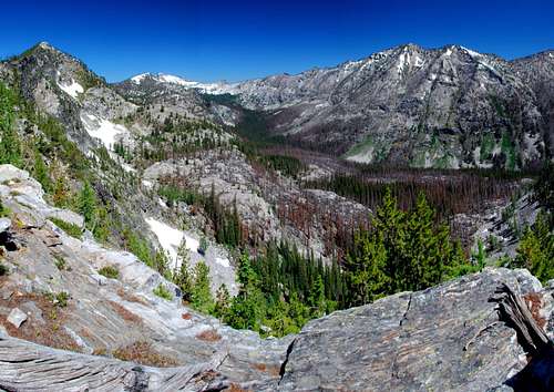
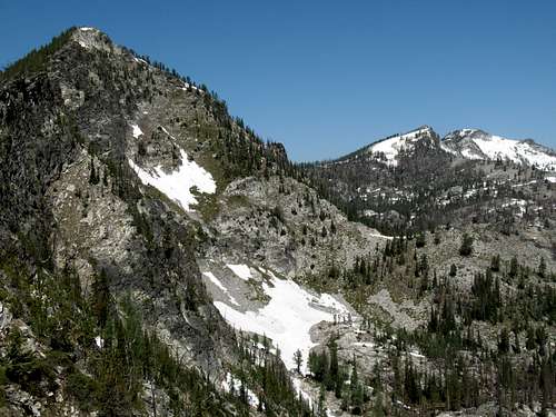
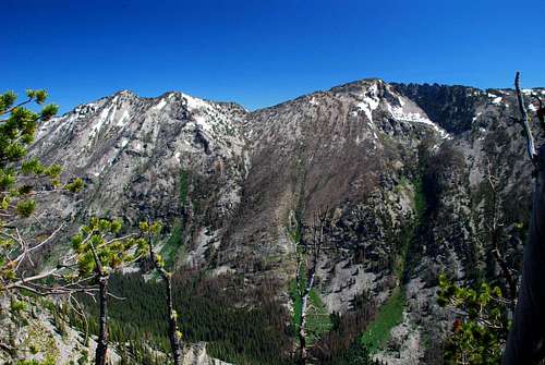
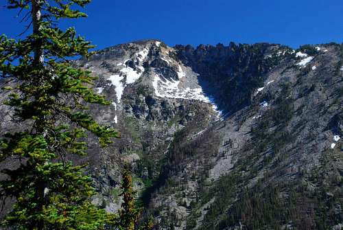
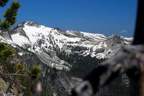
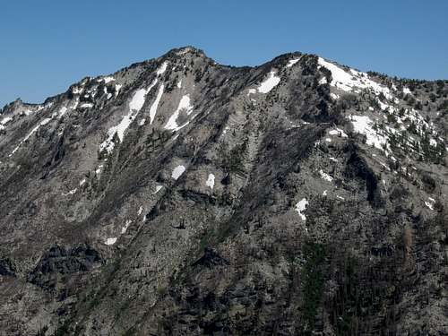
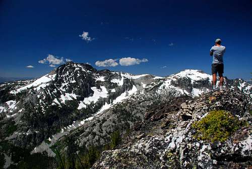
Latitude & Longitude – 45.82686 N / 114.42179 W Route Type – Hike with some Scrambling Elevation – 8,787’ Class Level – Class 2+ Length of Time Required To Complete Route – One Day Points 8740 and 8787 reside in a remote and seldom-visited area north of the Nez Perce Fork of the Bitterroot River. Both highpoints, which I refer to as the Soda Springs Peaks (as a matter of geographical location), sit on the crest of a southeast-northwest ridge located between the ridges of Bare Peak and Mount Jerusalem. Because they are only about one mile apart and sit on the same ridge, I choose to place both peaks on the same SummitPost mountain page in spite of the fact that the saddle which separates them is far more than the generally accepted 300’ below either summit. Besides, I feel any climber’s destination should be the higher summit (8,787’) which is reached second by this route and offers the much more spectacular views. These summits are in my favorite area of the Bitterroot Mountains, favorite because it is one of the wildest and most remote regions on the Montana side of the Bitterroots. Though their summits are not particularly high, the views of the surrounding 9,000+ foot peaks which they offer can be had from no other viewpoints. One of the best times of year to visit this remote area of the Bitterroots is during the fall hunting season. Now at first that suggestion may seem foolish, but let me assure you it is not. Although there may be hunters about in the forest, they generally stay fairly close to roads and well-established trails. The reason is that they fully expect to "get their animal" (elk or deer) and a carcass is heavy. Few of them are willing to lug animal parts a long way back to a vehicle. Besides the fact you are likely to see more "prey" animals, who like climbers, have the good sense to seek out the high country where the hunters don’t go, the fall colors of the forest (including the yellow-gold of the Alpine Larch) are at their best during that special time of year. An added bonus of visiting this area during the fall, is that much of the undergrowth has died back which makes it easier to find your footing while bushwhacking through the inevitable sections of woods which guard the paths to the summits. Soda Springs Creek received its name from early settlers who used the peculiar tasting water (for medicinal purposes) from a small spring about a quarter of a mile from the mouth of the stream. Getting ThereSoda Springs TrailheadFollow the Nez Perce Road for 3.6 miles to the end of the pavement. Turn right (west) 0.1 mile past the end of the pavement onto signed Soda Springs Road (FR 5635). You will cross the Little West Fork (1.1 miles) then Soda Springs Creek (1.6 miles) on good bridges. At 2.4 miles, stay right on FS Road 5635 (FR 13480 goes left). You will pass a Forest Service gate at approximately 3.5 miles slightly before the road swings back toward the east. The gate is closed between October 15th and June 15th. Pull off at the next switchback (approximately .8 mile past the gate where the road turns north) and park at the beginning of an abandoned logging road. The trailhead is unmarked with room for parking only one or two vehicles. Area Restrictions (Red tape)About 1.5 miles into this route, you pass into an official wilderness area. All applicable wilderness rules and regulations should be observed.CampingThe only area along this route (other than at the trailhead) which would be acceptable as a camping site is just before you reach the Wilderness Boundary (Point 7145). There is no water available, but if you’re willing to carry what you need, this area offers great views and a few small grassy areas for pitching a tent.The Route
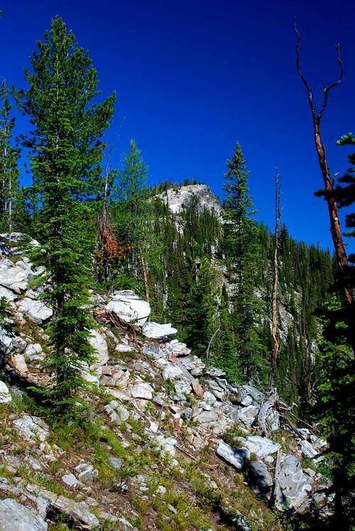
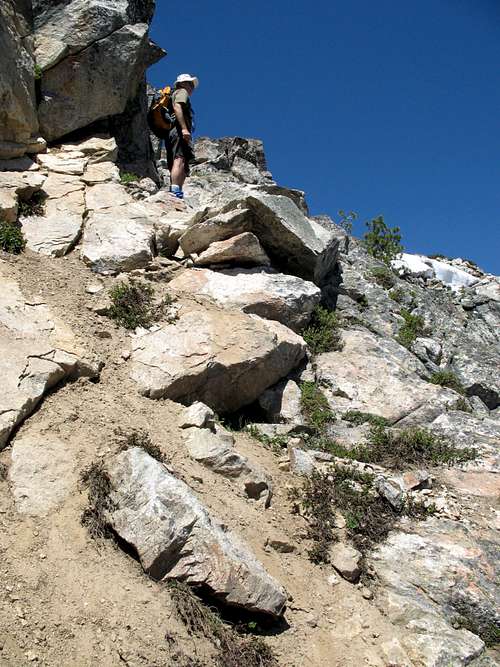
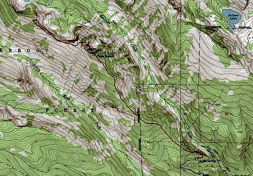
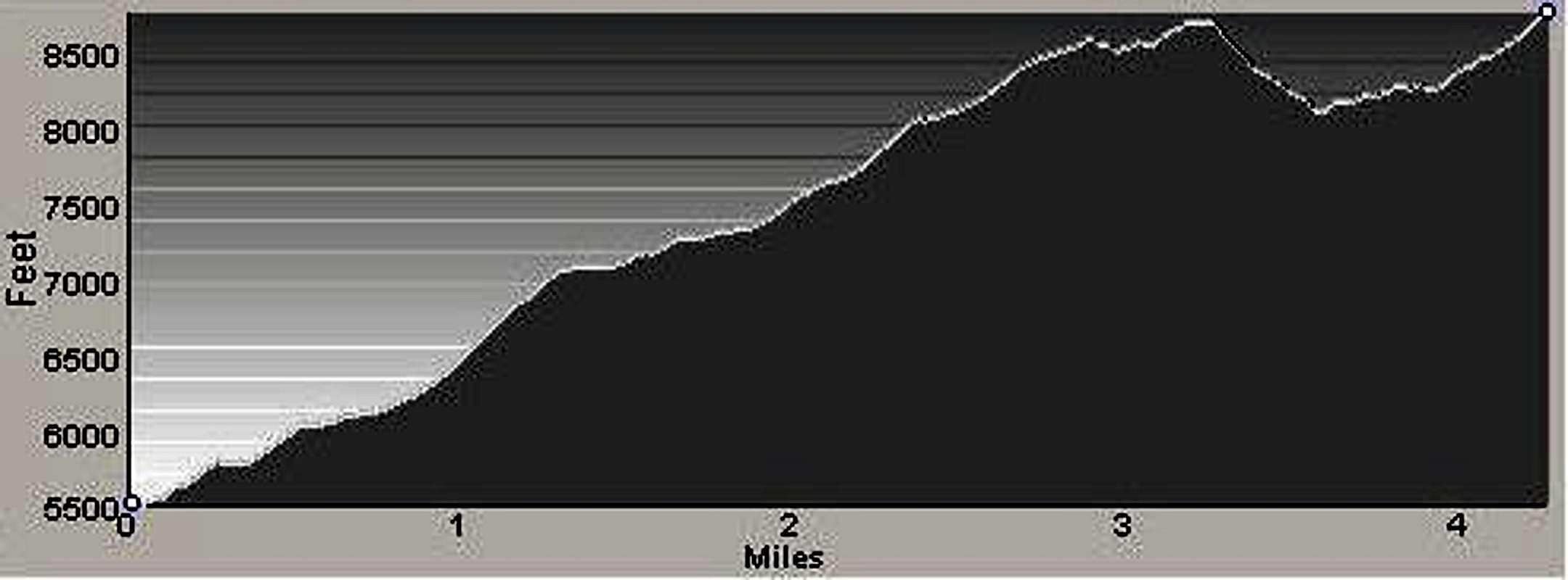
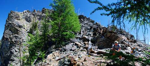
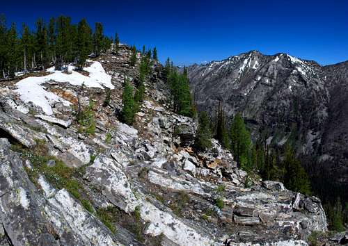
Immediately after passing the fallen tree, leave the old roadbed and head directly north for a short distance until you reach the crest of the ridge. After reaching the ridge, the route simply follows the ridge-crest through woods and over talus in a northwesterly direction. As you progress up the ridge, the woods becomes increasingly thicker and the incline more intense until it reaches the area near Point 7145. From this point upward, the woods grows less dense and is interspersed with areas of talus. Note: What appears (as you climb the ridge) to be the summit of Point 8740 is actually a false summit at an elevation around 8,600 feet. Fortunately it is only a short distance and elevation gain from there to the actual summit. When you leave the summit of Point 8740 and head for Point 8787, you can increase the difficulty of the climb to Class 3 (or more) if you down-climb in a northwesterly direction. Otherwise, keep the climbing to Class 2 (or maybe Class 2+) by climbing down from the summit in a southwesterly direction for about 300 feet before traversing directly toward the saddle which is around 8,100 feet. From the saddle the route gains in the neighborhood of 600’ and is mostly Class 2 hiking along the ridge crest toward Point 8787. There is one short section of very easy Class 3 climbing on the ridge to the summit, but it's so simple I can't bring myself to classify the route as Class 3. I'll compromise on Class 2+. Return to the trailhead by reversing this route. Note: Be careful when you follow the ridge back to the trailhead and do not descend too far. It’s very easy to do and will place you well below your vehicle. This is one instance where it would be acceptable to judiciously place a piece of brightly colored survey tape to remind you where to leave the ridge-crest during your descent. If you do so, retrieve the tape during your descent, please.
When To GoThis route can be used at any time of the year, although doing so when the ground is snow covered will lengthen the route by about 4.5 miles. Nez Perce Road is closed at the end of the pavement during the winter, approximately .1 mile before the beginning of the road to the trailhead (Soda Springs Road – FR 5635).Because it closely follows the ridge-crest, there is little danger of avalanche along this route. If you are looking for a spring or early-summer snow climb, once the snow is consolidated, this route would be perfect. Essential GearPlenty of water (and food) plus sturdy hiking boots and weather-appropriate clothing is all that’s required for this route unless you plan to use it when snow covered. Then an ice axe and crampons are recommended.Route StatisticsAdditional Pictures |


