-
 6875 Hits
-
 87.31% Score
-
 24 Votes
|
|
Mountain/Rock |
|---|---|
|
|
46.23959°N / 114.33719°W |
|
|
Ravalli |
|
|
Scrambling |
|
|
Spring, Summer, Fall |
|
|
8578 ft / 2615 m |
|
|
Overview
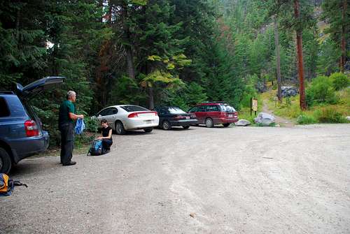
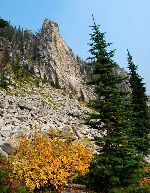
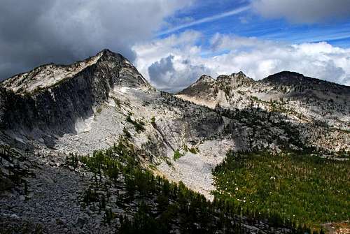
Latitude & Longitude – 46.23959 N / 114.33719 W Route Type – Scramble Elevation – 8,578’ Class Level – Class 2+ or 3 Length of Time Required To Complete Route – One Day As one of six loftiest highpoints surrounding the Canyon Creek Cirque, it’s amazing to me that Point 8578 is so seldom visited. Granted, the most-noticed of the highpoints is Canyon Peak because it dominates the skyline from nearly every spot in the upper portion of the cirque. But Canyon Peak is considered a technical climb and very difficult by most summit seekers – other than the foolhardy and fearless. So one has to wonder why Point 8578 (which I call Wyant Peak because of its location above Wyant Lake) is not climbed more often. Is it a matter of, "If I can’t climb Canyon Peak I won’t climb anything in this cirque", or simply a case of, "I can’t be bothered to climb a peak with an elevation barely above 8,500 feet?" Whatever the reason, I submit that reaching this summit is no simple hike. Even if one ascends by the easiest route (described below), climbing can quickly exceed Class 2+ if conditions are not perfect. And when snow fills the access couloir, the necessity for employing snow climbing skills pushes the ascent (and descent) well into the Class 3 range. While hiking into the Canyon Creek Cirque, Wyant Peak is first visible when one is part way up the switchbacks as the trail climbs toward its nadir on the north side of the canyon wall. Seen even before Canyon Peak, the steep and slabby northwest and northeast faces of this summit attract the eye and give one thoughts of inaccessibility. And it’s much farther along the route before the trained eye can see, much less recognize, the weakness in the cirque’s south rim which allows access to this peak’s summit. Getting ThereCanyon Creek & Blodgett Canyon Overlook TrailheadImmediately after crossing the bridge, turn right (north) onto Ricketts Road. In about a half mile you will come to an intersection. Turn left (west) onto Blodgett Camp Road. Drive on Blodgett Camp Road (it turns to gravel when it makes a sharp right turn) for about 2.5 miles where you will reach a clearly marked intersection. Turn left (west) onto the gravel road which dead-ends at the Canyon Creek Trailhead in another couple of miles. Ample parking at the trailhead, and since the spring of 2006, there is also an outhouse. Area Restrictions (Red tape)Approximately 1.75 miles from the trailhead, you pass into the Selway-Bitterroot Wilderness Area. All pertinent rules and regulations should be followed.CampingThere are a couple of places along the trail where people sometimes camp and several sites around Canyon Lake which are very popular with campers during weekends. But the nicest places to camp are along the climbers’ trail in the area near a slight rise northwest of Wyant Lake.The Route
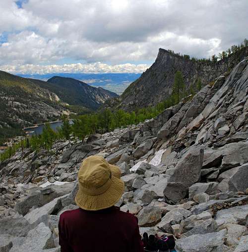
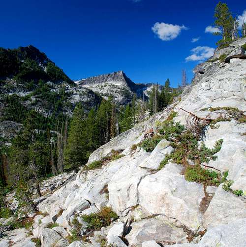
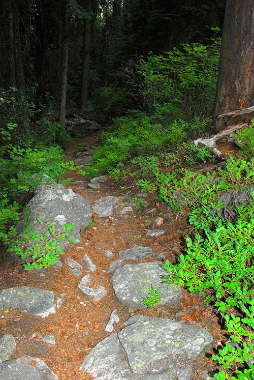
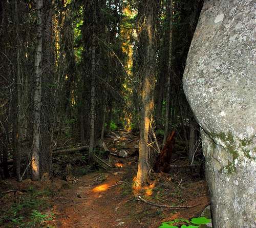
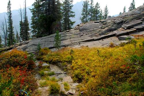
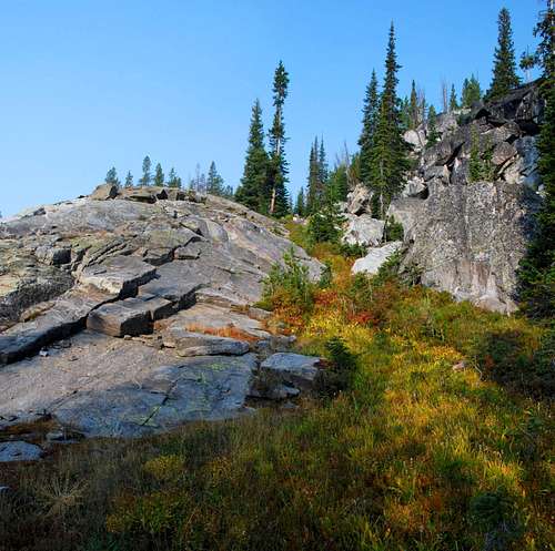
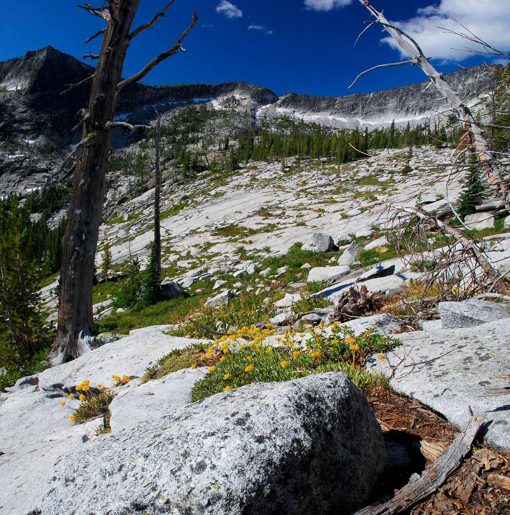
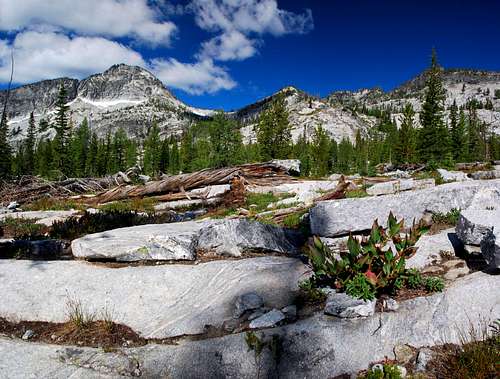
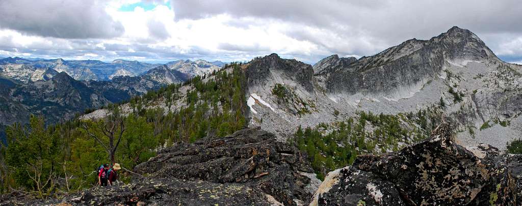
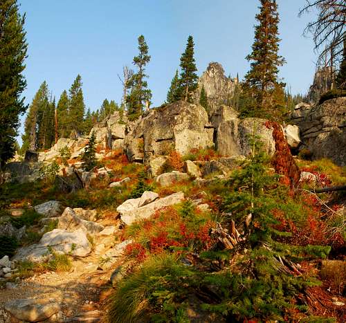
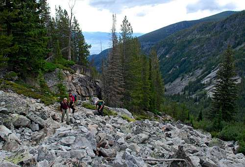
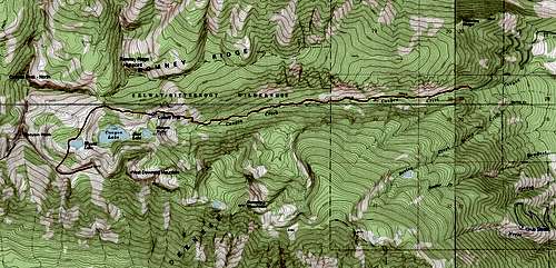
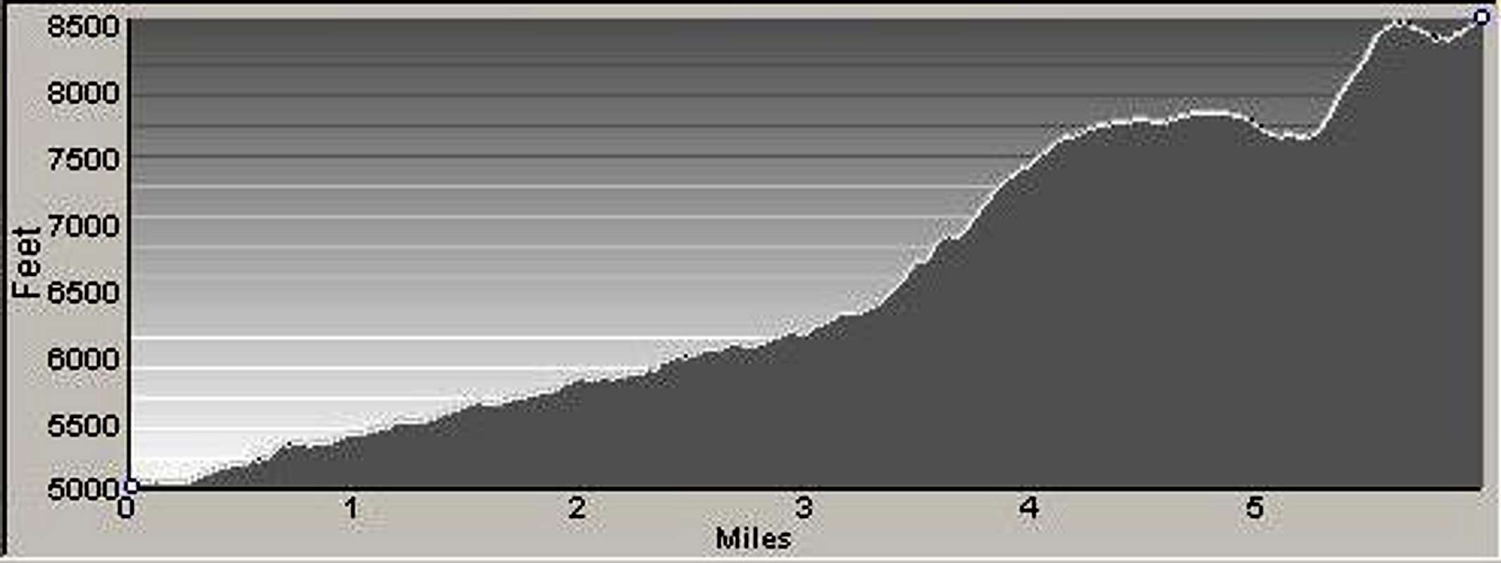
Begin hiking west along the Canyon Creek Trail as it follows the creek upstream through fairly thick woods. Now receiving fairly heavy use by local hikers to reach Canyon Lake, the trail is not always in a perfect state of repair. But, as of this writing it’s in pretty good condition with very little deadfall blocking the way; however the footing is poor in places as the trail winds its way over exposed tree roots and rocks. Initially there is little to see other than an occasional glimpse (through the trees) of rocky spires high on the north wall of the canyon. At around 3.25 miles from the trailhead, the track begins to traverse up the north canyon wall using a series of rather steep switchbacks. This is the first place which allows good views of the surroundings. Just before the trail begins to descend, it enters an open grassy area with a small ridge of slab granite rising on the right (west). Climb onto this ridge and follow its crest to the west. As you traverse west below Point 8685, the Romney Ridge Highpoint, you pass through patches of open woods interspersed with areas of slabs and talus. Do not get too high on the ridge as you begin to curve west-northwest toward the saddle (7,960’) just west of the Romney Ridge’s Highpoint. Staying low makes walking easier with a minimum of side-hilling. When you near the saddle, begin hiking directly west across the grassy depression or gully falling from the saddle. There is no need to go all the way to the saddle unless you want to look into the Blodgett Creek Drainage. After crossing the gully, continue in a southwesterly direction over slabs. To your right (north and west) you will see an obvious transition between slab granite and the talus and boulders spilling from the ridge above. Stay fairly high on the slabs but off of the talus as you travel southwest. The key to this section of the route is no stay at approximately the same elevation as you traverse around the upper reaches of the cirque toward Wyant Lake. As you hike, your line of travel will necessarily curve to your left (more southward) until you’re going in a south-southwest direction passing through an open woods of Alpine Larch and Whitebark Pine.
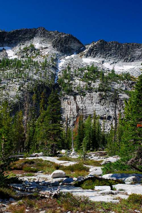
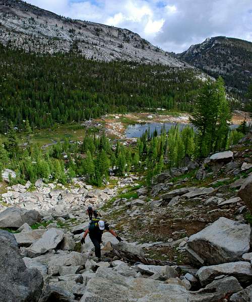
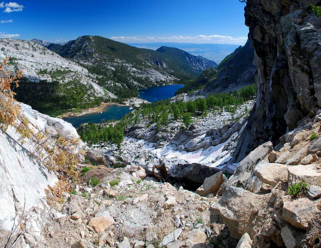
When you reach Wyant Lake, go around the right (west) end of the lake toward the bottom of the now-obvious couloir. This particular couloir is not of the classic form (constricted by sidewalls) nor is it a gully (wide and U-shaped), rather it is somewhere between. The lower portions contain mostly talus, though there is one section choked with large boulders. The upper portion is full of scree and loose rock which must be negotiated carefully. Enter the bottom of the couloir on a mixture of grass and talus. The throat of the couloir has a small intermittent stream which keeps the plant growth profuse and slippery. Staying on rock when possible makes climbing easier. As you climb, look upward toward the section containing large boulders. The best line is to swing to your right (west) and go around the largest boulders. If you climb directly through the boulders, climbing is Class 3. If you go around, Class 2+. Circumnavigating requires less energy. Once past the largest boulders, swing back left (east) and continue climbing upward on stable talus. Note: Even in the warmest of years you are likely to have to contend with some patches of snow in the couloir. After mid-summer it should be possible to skirt them; however there may be some years when an ice axe and crampons will be required no matter how late it is during the summer climbing season. As you reach the upper portion of the couloir, the footing changes to a mixture of scree and small rock. This section is generally very loose. Be careful not to dislodge rock on your climbing partners. Once you reach the top of the couloir, turn southeast and skirt the outcrop directly on the ridge-crest by staying to its right (southwest). Once you pass the first rock pile on the crest, turn east and move quite close to the ridge-crest. At this point there is a gully dropping from the crest down the south side of the ridge. You must stay close to the ridge-crest to pass it easily, otherwise you’re in for at least Class 4 climbing. After passing the gully, follow the crest of the ridge as it turns east-northeast and climbs to the summit over large stable talus. This last section to the summit is straightforward Class 2 (maybe Class2+ in spots) climbing up a nice gradual incline. Enjoy! Descend by reversing this route, being sure to stay high on the ridge-crest until you’ve passed the gully and especially careful of the loose rock as you descend the upper portion of the couloir. When To GoEssential GearIf there is much snow in the access couloir an ice axe and crampons will be required to reach the south rim of the cirque; otherwise only sturdy hiking boots and weather-appropriate clothing are required for this route.Note: Because the access couloir is north-facing, it seldom turns to ice, though during the late spring or summer it unfortunately gets hard enough that it is impossible to simply book-kick steps. Route Statistics |


