
|
|
Mountain/Rock |
|---|---|
|
|
39.06280°N / 106.9516°W |
|
|
13932 ft / 4246 m |
|
|
Red, Rugged and Rotten
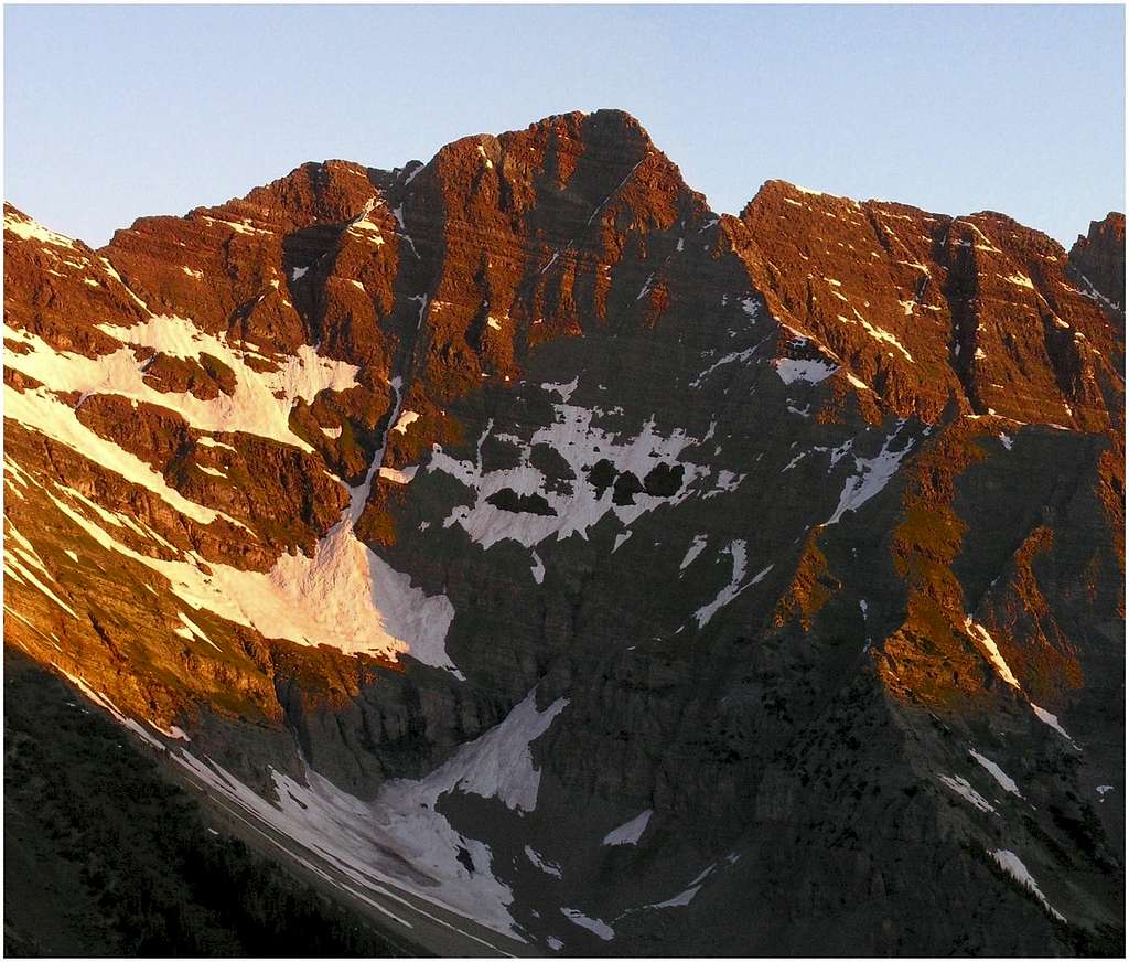
First, I do not recommend a climb of this mountain to anyone. I realize that people will keep going back for more high summits, but they won’t going because of me recommending this climb. For those peak baggers that have to climb it, maybe my page will prepare them for what teeters above. Second, bring your helmet and keep your party small. In my opinion the mountain is first come first serve, meaning if you get to the base of the climb and another party has started the climb, then you wait or assume all risk of rock fall potential. Finally, I thought Thunder Pyramid was more dangerous than either South Maroon or Pyramid Peak. Try climbing Pyramid Peak without the cairns and add 3 times the rock fall potential and you get Thunder Pyramid.
The standard West Face Route route is only class 3 with proper route finding but the potential for rock fall on Thunder Pyramid is as real as it gets. Essentially you have a 3,000-ft staircase choked up with never ending scree, and sharp blocks of talus. Most of this talus is bonded to the staircase with scree. The potential for a moving slope is real with every move you make. It took me almost an hour to complete the last 300-v-ft! There are no trails on the mountain; the west face is too steep and loose for a trail to ever develop. There are no cairns to help guide you through the maze of teetering blocks; any prior built cairns have crumbled and now blend in with the rest of the nondescript west face.
Thunder Pyramid Overview
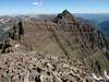
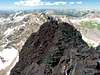
Thunder Pyramid (13,932-ft) has been hiding in the shadows of its big fourteener brother Pyramid Peak. Only 68 feet shy of the magic 14,000-ft benchmark, this reclusive mountain still falls into the Centenial Thirteener catagory (Colorado's highest 100.)
Residing only a half mile south of Pyramid Peak, the crumbling Thunder Pyramid almost blends in with its surroundings and has a reputation for being difficult to locate. From the Maroon Creek Valley, differentiating Thunder Pyramid from Point 13,820 and UN 13,722 is a difficult task. Because of its reclusive location, the summit log only sees 20-25 signatures a season.
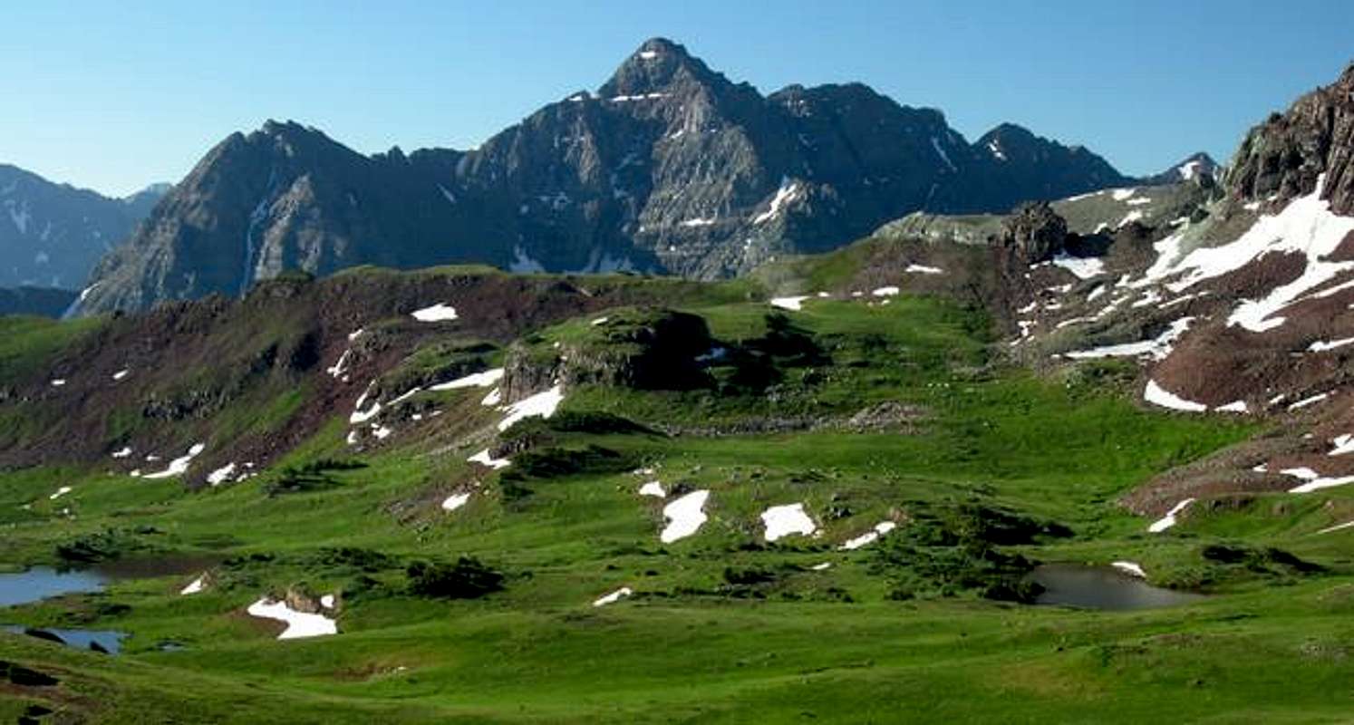
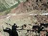
The Pyramid Peak Massif separates the popular West Maroon Creek Valley from the very unpopular East Maroon Creek Valley. The encompassing area is loaded with interesting geology making for some of Colorado’s most beautiful land. Thunder Pyramid’s red, rugged and rotten rock is identified as a sedimentary rock from the Permian Age. This is the stuff that makes the area really pop with color: bad for climbing but sensory overload to look at. When this rock finally breaks down to soil it makes for a perfect vegetative ecosystem. Throughout the sub-alpine area below the tundra are groves of aspen trees. Above tree-line tundra produce summer wildflowers of rare beauty, where differing colors of Indian Paintbrush reign supreme.
 |  |  |  |  |
Maroon Lake TH
Approach Pyramid Peak from the Maroon Lake TH (9,590-ft.) From Aspen, locate a round-about a half mile north on Hwy 82 and drive west on Maroon Lake Road for 9.4 miles to the parking area.Starting June 14,2008 Maroon Creek Road restrictions will start and visitors will be directed to RFTA bus service. Buses from Aspen Highlands arrive at Maroon Lake every 20 to 30 minutes. All day users will be required to ride the bus between 9 a.m. and 5 p.m. The bus fare is $6 per adult and $4 per senior and child.
During these hours a shuttle can take you to the trailhead from Ruby Park in downtown Aspen. The shuttle ride is free. Call RFTA at 970-925-3445 or the White River National Forest at 970-925-3445 for schedules.
Author: big_g
Date: Aug 08, 2005 8:19 PM
The road up to the trailhead is restricted to day trippers only. Backpackers and climbers are welcome to drive up (in case they need to exit due to emergency after the shuttle service has stopped).
No promises that you'll find a spot at the end of the road, but you should be able to find something at either the East or West Maroon Wilderness Portals. The bus can be flagged down anywhere to take you the rest of the way.
The following was updated 6-30-2005 by Aaron Johnson
Several Colorado wilderness areas now require a free user permit to be in the wilderness, or shortly will require same. The wilderness areas are Holy Cross, Maroon Bells/Snowmass, Mount Evans, and Mount Massive. Permit tags are available at trailheads and are a two part tag. The white part goes in the box provided and the card portion is to be attached to the outside of your pack. There is currently no penalty if one does not have a permit. However, large fines could be levied within a few years for non-compliance. The preferred method now for dealing with violations is education of the users.
The reason for implementation of this required permit is the Forest Service has been unable to obtain accurate data on use patterns from the voluntary sign-in system. The estimated compliance range is currently 10-30%.
The hope is to obtain better data with this new method. While some may feel this is a precursor of some kind of quota system, the opposite is actually true. Accurate information on visitor use patterns will allow the forest service to attempt to evenly distribute impacts and encourage use of alternate trailheads for the same destinations. However, given the magnitude of the state's continuing population boom, folks should not be surprised if quotas in certain areas become a necessity.
Thanks to SP member mtnhiker13 for supplying this vital update via the Colorado Mountain Club's email service.
Specific information can be viewed here.
Current Forecast for the Maroon Lake area
Click image to enlarge
Click here to view a 7-day forecast for Thunder Pyramid

Red Tape
See Getting ThereMaps: Maroon Bells, White River National Forest
Aspen Ranger District Office
(970) 925-3445
USDA Forest Service
White River
National Forest
P.O. Box 948
Glenwood Springs CO 81602
Camping
Independence Pass Camping
Five campgrounds along Colorado Hwy 82 via Independence Pass offer numerous sites. The following campgrounds are located on the west (Aspen side) side of the pass.