-
 12439 Hits
-
 90.13% Score
-
 31 Votes
|
|
Route |
|---|---|
|
|
Ice Climbing |
|
|
Winter |
|
|
Half a day |
|
|
WI3 |
|
|
4 |
|
|
Overview
I think it terms of difficulty, the First Gully is the easiest ice climb at Eureka, closely followed by Second Gully (Second Gully is located another 500 feet up the road). Stairway to Heaven WI 4 and Whorehouse Hoses WI 4/5, as well as other climbs in the area are more difficult.
From the Main Street in Silverton, continue onto good dirt road - Hwy 110 - which is snowplowed for the first 9 miles. (All maps and books call the road 110, but when you are passing through Silverton, 110 will bring you to the Silverton Ski Area, and the road you actually want to take is marked as San Juan Country Road 2). Park at the large parking lot on the west side of the road. There is a dry toilet (hard to access in the winter since the door gets buried in the snow).
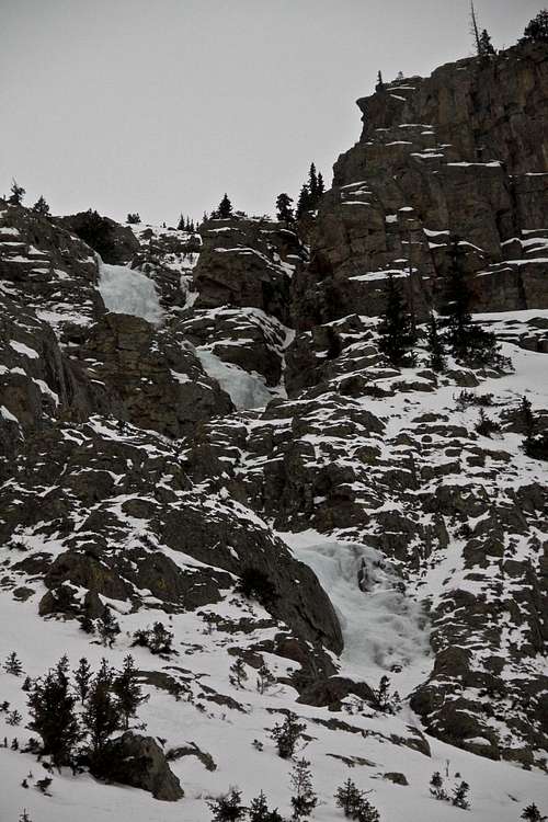
You can see Stairway to Heaven from the parking lot if you look northeast - it is the largest ice pathway on the western slopes of Peak 13,419. First Gully is located on the opposite site of the valley and about 0.1 miles further away.
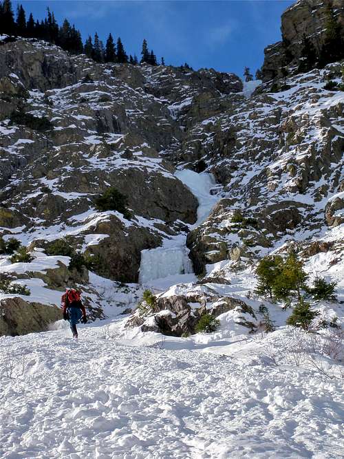
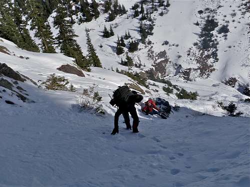
Approach is on the snow road. You will get great views of Stairway to Heaven climb. Continue past Stairway to Heaven, and look to your left. You will see First Gully just a little bit above the road. Hike up on a steeper snow slope towards the start of the climb.
Eureka is an abandoned mining community nine miles northeast of Silverton on Hwy 110. Highway 110 is a bit misnomer, as it is an unpaved road that connects Silverton to Lake City via Cinnamon Pass. The first section of the road is well maintained and accessible by low clearance 2WD vehicles. The road is kept open even in the winter to Eureka Gulch parking lot. There is a nice cross country ski trail leading along this road.
Elevation in Eureka: 9,862 feet (=3,006 meters).
There is a high avalanche hazard on this climb, so alway check snow conditions prior venturing on this climb.
Northern San Juans avalanche forecast
Eureka is a mining ghost town along the Animas River between Silverton and Animas Forks. The town got its start in 1860 when a small group of miners began to dig and pan around the banks of the Animas River. The train service came to town in 1896. The Sunnyside mill was the main economic source for the town. When the mill closed in 1938, Eureka was no more. What are left are foundations that climb the mountain sides reminders of the town that was.
Nice place to stay in Eureka: Eureka Lodge (former Outward Bound Hotel).
Getting There
From the Main Street in Silverton, continue onto good dirt road - Hwy 110 - which is snowplowed for the first 9 miles. (All maps and books call the road 110, but when you are passing through Silverton, 110 will bring you to the Silverton Ski Area, and the road you actually want to take is marked as San Juan Country Road 2). Park at the large parking lot on the west side of the road. There is a dry toilet (hard to access in the winter since the door gets buried in the snow).
You can see Stairway to Heaven from the parking lot if you look northeast - it is the largest ice pathway on the western slopes of Peak 13,419. First Gully is located on the opposite site of the valley and about 0.1 miles further away.
Approach is on the snow road. You will get great views of Stairway to Heaven climb. Continue past Stairway to Heaven, and look to your left. You will see First Gully just a little bit above the road. Hike up on a steeper snow slope towards the start of the climb.
Eureka is an abandoned mining community nine miles northeast of Silverton on Hwy 110. Highway 110 is a bit misnomer, as it is an unpaved road that connects Silverton to Lake City via Cinnamon Pass. The first section of the road is well maintained and accessible by low clearance 2WD vehicles. The road is kept open even in the winter to Eureka Gulch parking lot. There is a nice cross country ski trail leading along this road.
Elevation in Eureka: 9,862 feet (=3,006 meters).
There is a high avalanche hazard on this climb, so alway check snow conditions prior venturing on this climb.
Northern San Juans avalanche forecast
Route Description
Pitch 1: First pitch starts with a short steep section of climbing, WI3. Above this short steeper section, there is a low angle rolling ice, or it could be covered with the snow. The anchor is on climber's right at a tree with several slings around it.
Pitch 2: This pitch is an easy WI 2, again rolling ice sections with snow climbing. Could be easily soloed if one is confident and comfortable enough. There are bolted anchors about 50 meters up.
Pitch 3: Another easy pitch of rolling ice, rated WI 3, about 55 meters long. Fixed bolted anchors.
Pitch 4: Another easy rolling low angle ice/steep snow, which brings you to the base of the biggest and the most interesting section of the whole climb. There are fixed bolted anchors in the rock on the climber's right.
Pitch 5: This is definitively the best part of the climb. You can make it WI3 + or even find steeper sections WI 4. It is about 35 meters long. There are fixed anchors at its top.
Descent: rappel the route. You need two 60 meter ropes.
Some images from the climb
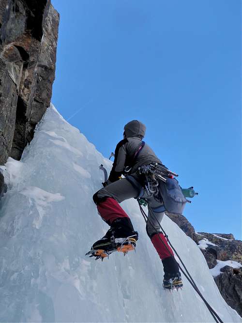 First Pitch First Pitch | 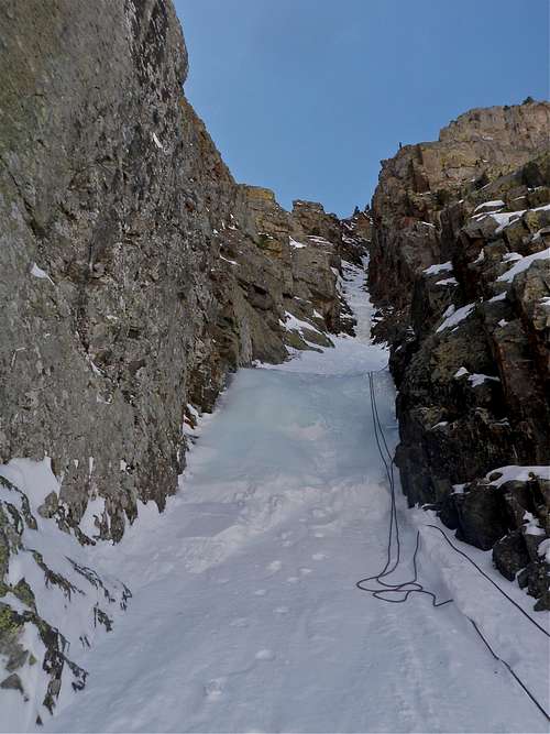 Second Pitch Second Pitch |
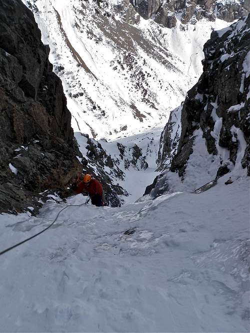 Third Pitch Third Pitch | 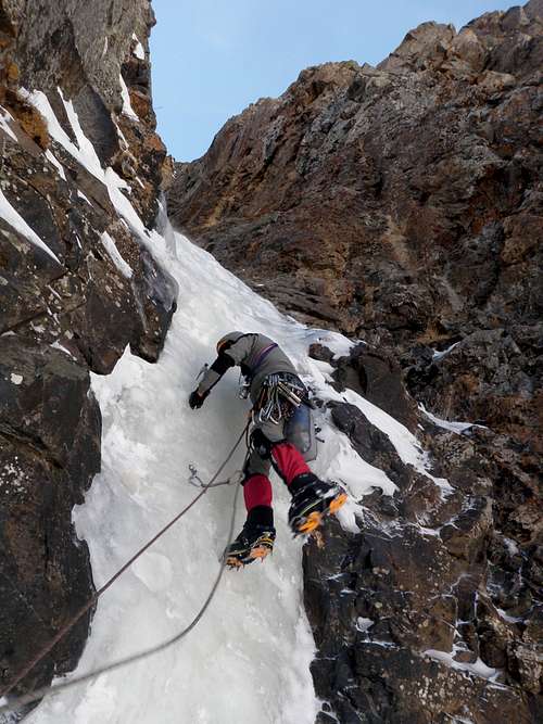 Pitch Three Pitch Three |
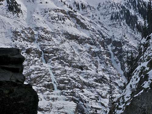 Stairway to Heaven and Highway to Hell across the valley Stairway to Heaven and Highway to Hell across the valley | 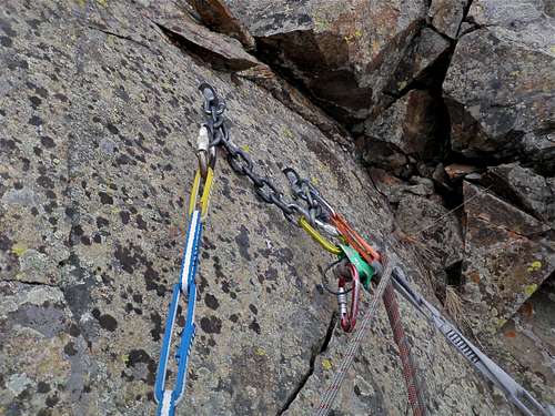 Fixed anchors along the route Fixed anchors along the route |
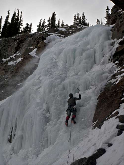 Fifth pitch Fifth pitch | 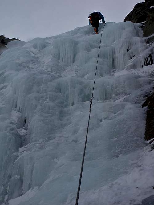 Fifth Pitch Fifth Pitch |
Essential Gear
- Crampons
- Ice tools
- Harness
- Helmet (is a must, tons of ice falling down the gully, especially if another party is climbing above you)
- Full rack of ice screws
- Draws/screamers
- Belay device
- Rope (I prefer climbing with double ropes back country ice, 60 meters sufficient)
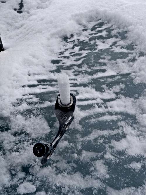
- Always good to carry v-thread material (v-thread tool, some webbing)
- Anchoring stuff (all anchors are bolted)
- Warm clothing, hand warmers. Extra gloves (I like to use liners, thinner gloves for leading and thicker gloves for belaying. Keep gloves inside your jackets, otherwise you collect some snow in).
- Thermos with a hot beverage.
External Links
- First Gully on Mountain Project
- Eureka Lodge
- San Juan Ice Conditions - updated report on local ice
- Northern San Juan Avalanche Report


