-
 15536 Hits
-
 92.03% Score
-
 37 Votes
|
|
Route |
|---|---|
|
|
38.02200°N / 107.67°W |
|
|
Ice Climbing |
|
|
Winter |
|
|
Half a day |
|
|
WI3/4 |
|
|
3 |
|
|
Overview
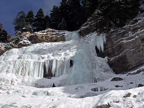
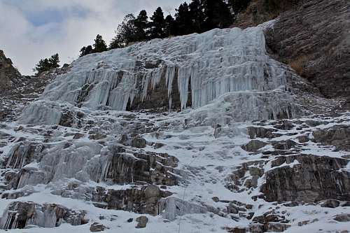
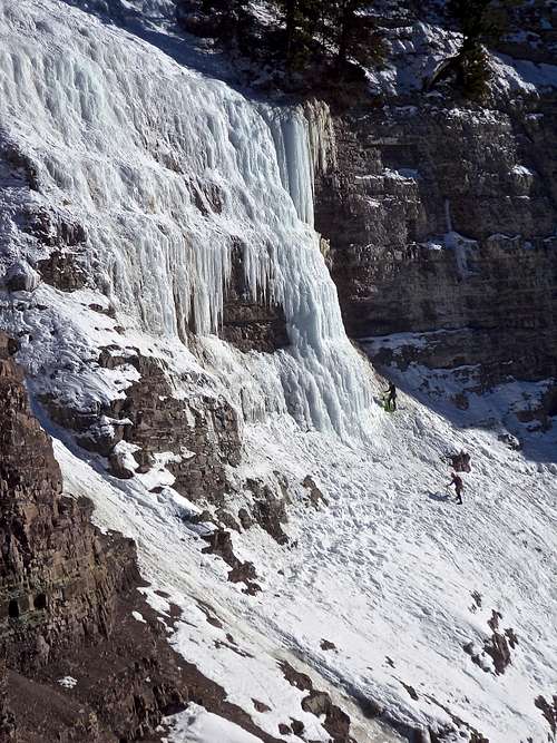
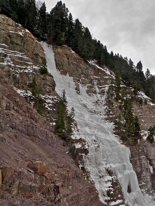
Upper Dexter Creek Slab is an obvious slab of ice that can be viewed from the highway just north of Ouray. The climbing here is moderate and fun, and is popular with beginners and classes.
Anywhere from two to four moderate ice routes, up to three pitches long can form up there. The ice gets sun later on in the afternoon, so if you are seeking a warmer ice climb, plan to visit after a lunch. The climb takes about 4 hrs, the approach can take up to an hour depending on the snow conditions (deep snow in the approach gully will obviously slow down your approach time). The icefall is wide enough that you can have 2 parties climbing right next to each other. It is a good place to learn to lead ice climbing. Remember that other parties above you can release ice and rocks onto you - be aware. The avalanche danger on this climb is low.
Please don't confuse Dexter Creek Slab with Dexter Creek Icefall. Both are located close to each other, but Dexter Creek Icefall is currently closed to climbers, and is on private property. There are warning signs along the road as you drive in - "No climbing". Remember - always check locally about access! Ouray Mountain Sports is a great source of up to date information.
The ice climb is well described in Jack's Roberts Colorado Ice, volume 1.
How To Get There
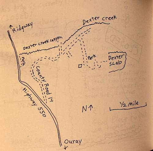
From Ouray, drive north past the Rotary Park approximately 0.4 miles and turn right up CR 14. There will be a sign for Dexter Creek and Mine Tours. Continue uphill about 2.2 miles (past the bridge over Dexter Creek), and turn right on a dirt road just under the slab. You should park near the turn off, the road is not snow plowed up here. The parking lot is snow plowed and pretty large.
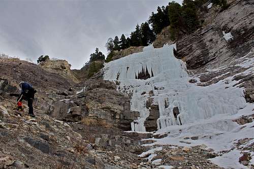
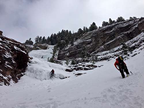
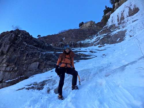
Hike up on the dirt road uphill (covered with snow), and after two switchbacks keep looking for a drainage leading up to the ice. The drainage is pretty obvious, and hard to miss from the dirt road. Hike up the drainage to the start of the icefall.
Hike Time: 1 to 1.5 hrs
Hike Gain: several hundred feet
Exposure:West (best to climb after 12:00 pm, sun gets there)
Season:Early December through March. You can always check out the ice condition at San Juan Mountain Guides website, or ask at Ouray Mountain Sports.
Route Description
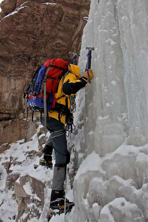
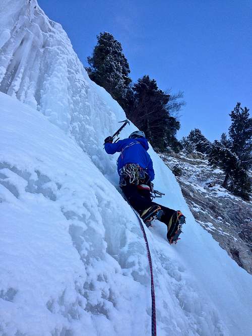
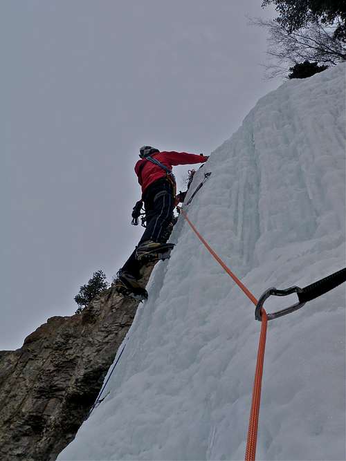
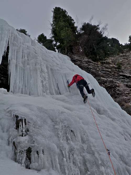
Upper Dexter Creek Slab is the obvious slab of ice that is very clearly visible from the dirt road. The climbing is moderate, several short to medium long icefalls, with some ice walking in between. The ice is wide, so you can choose from many different route variations. Most people climb it in 3 pitches. I have done it in 2 pitches with a short section of simul climbiMost steeper WI4 sections of the ice are very short, and there are easy sections, especially on pitch #2, which are excellent for first time ice climb leader.
There are some anchors (webbing) on trees, otherwise you need to place ice screws for protection.
Most people start the climb at the base of the main icefall, but there are two smaller ice falls below this one, and you may enjoy doing a short ice climb there.
The 3 pitch route is described from the base of the main icefall.
Pitch #1: about 35-40 meters long, many variations since the icefall is very wide, mostly WI3.
Pitch #2: about 45 meter long, less steep, an excellent pitch to do your first lead on ice. WI1-2.
Pitch #3: about 40 meters long, WI4, the 4 section is not very long, and above it the ice slope gets easier. You will see anchors on a couple of trees above. You will basically end up in a forest, so many trees to choose from if you decide to make your own anchor.
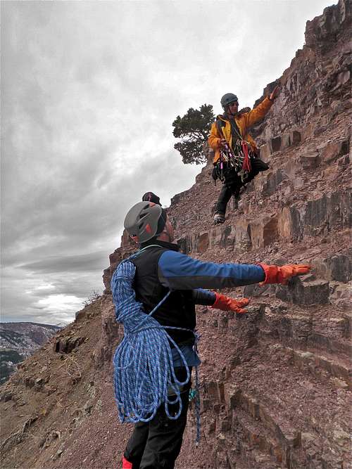
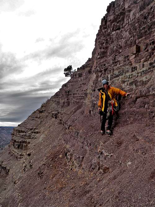
Descent:rappel (2 60 meter ropes make it easier), and some sections you can down climb/hike down on the north side of the climb. The first rappel is very obvious from a large tree at the top of the climb. You have to climb through the routes of this tree to get to the rappel ring. The 2nd rappel is not that obvious. There is a small tree with slings on the left = north side of the climb. It is farther that 60 meters, so you have to down climb to it a little bit (easier ground here), or make a V-thread = abalakov and rappel to the base of the climb. The hike down can be pretty exposed at some places, and is easier in a snow (otherwise you have to negotiate a lot of loose scree and rock). But a wrong step here can have fatal consequences. The steep descent is near the start of the climb. Having done both, I recommend rappel - safer. Again, rappel happens on the left side of the ice fall and most parties climb on the right side, so it should not interfere with other parties ascending the waterfall.
Essential Gear
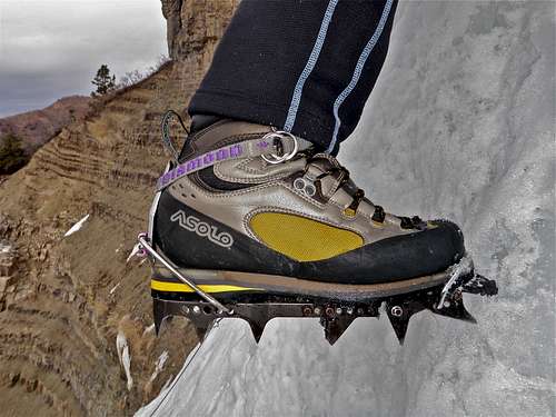
- Personal ice climbing gear: boots, crampons, ice tools, harness, helmet
- 2 sixty meter ropes
- Ice screws (expect to build your own anchors, there is a nice obvious tree anchor at the top of the climb)
- Slings/screamers
- Thermos with a hot beverages is always nice
- Camera?
- Cell phone (there is a cell phone reception on this climb) ?
- Trekking poles for the approach are nice
External Links
- Ouray Mountain Shop One of the best supplied ice climbing stores in the North America - I heard that they sell more ice tools than any other store in USA. They also have an ice screw machine to sharpen up your ice tubes. Very helpful staff. Rental packages available.
- And you are welcomed to soak in one of the local hot springs after your ice climb: either Ouray Hot Springs, or Orvis Hot Springs in Ridgway.


