
-
 11888 Hits
-
 85.87% Score
-
 21 Votes
|
|
Mountain/Rock |
|---|---|
|
|
38.02484°N / 122.61184°W |
|
|
Marin |
|
|
Hiking |
|
|
Spring, Summer, Fall, Winter |
|
|
1592 ft / 485 m |
|
|
Overview
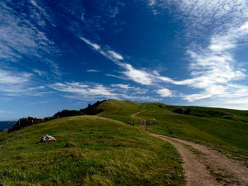 North road up Loma Alta
Loma Alta is a massive grass covered rolling hill with ranch lands centrally located in northern Marin County that has Open Space approaches from the north and south. This big old hill commands outstanding 360 views of the county and North Bay .
Easy fire roads gradually ascend in just a few miles to this often windswept summit. There are great views of the north flank of Mt. Tamalpais to the south. To the west is Barnabe Mountain, Nicasio Reservoir and the hills of northwestern Marin. Directly north is Big Rick Ridge rising above Lucas Valley and to the east is the vast expanse of the northern Bay Area will Mt. Diablo and the East Bay Hills. The SF skyline also rises off in the distance to the southeast.
Getting There
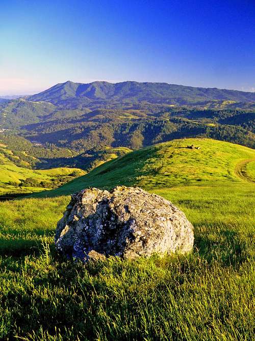 Mt. Tam from Loma Alta
Take the fire road on the right at the end of the bridge. This road drops down a bit. At .2 miles take the fire road that goes up to the left and follow it up about 3/4 mile to a junction. Go left on that fire road .9 miles as it switchbacks up to the south ridge of Loma Alta and follow it to the right on up to the top.
From Lucas Valley Road: From Hwy. 101 In Terra Linda go west on the Lucas Valley Road Exit and drive 6.3 miles through the valley then up to the pass at the big rock. Parking is on the south side. Take the gated fire road to the south that gradually ascends the northeast side of Loma Alta staying to the left at 2 forks until the summit is reached at 2 miles.
Red Tape
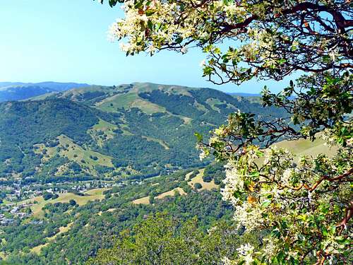
 Summer on Loma Alta with Big Rock Ridge behind.
For more details on this and other Open Space regulations click here.
Camping
 Loma Alta from Big Rock Ridge
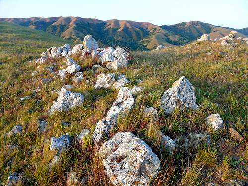 Big Rock Ridge from Loma Alta