
-
 18189 Hits
-
 86.85% Score
-
 23 Votes
|
|
Mountain/Rock |
|---|---|
|
|
38.07965°N / 122.86843°W |
|
|
Marin |
|
|
Hiking |
|
|
Spring, Summer, Fall, Winter |
|
|
1336 ft / 407 m |
|
|
Overview
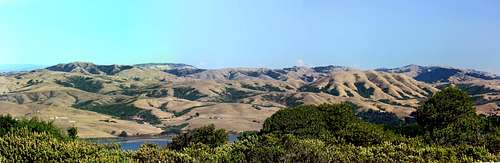
 Black Mtn. from Point Reyes Hill
Getting There
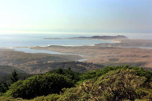 Point Reyes from Point Reyes Hill
For views out to Point Reyes go to the right by the fence surrounding the radio range station to the top of the Bucklin Trail. There is a bench where you can sit and enjoy the view. For views to the east go to the left side of the summit area.
Bayview Trailhead/Inverness Ridge from the south: From just south of Point Reyes Station on Sir Francis Drake Highway go west .75 miles and turn right. Go north .2 miles and turn left on Limantour Road. Follow This road 1.7 miles to the top and park on the right at the Bayview Trailhead. Take the rolling Inverness Ridge Trail north 2.6 miles to Point Reyes Hill with about a 900' gain.
Drakes View Trail: Continue on Limantour Road another 1.8 miles past the Bayview Trailhead parking and turn right .4 mile to the Muddy Hollow trailhead. Take the Bayview (Drakes View) trail east .5 mile. Go left on the Drakes View Trail 2 miles up to the Inverness Ridge Trail. Go right 1.3 miles to Point Reyes Hill. Approximately 1,400' gain.
Bucklin Trail: From the Muddy Hollow Trailhead take the Muddy Hollow Road .8 miles to the Bucklin Trail. Go right up 2.4 miles to Point Reyes Hill. Approximately 1,300' gain.
Red Tape
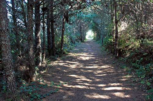 Inverness Ridge Trail
Note: Point Reyes National Seashore is the foggiest area on the California coast especially in summer. If you want views take this into account and check the weather.
Camping
 South to Mt. Wittenberg from Point Reyes Hill
Campground info can be found here.
7 day weather forecast
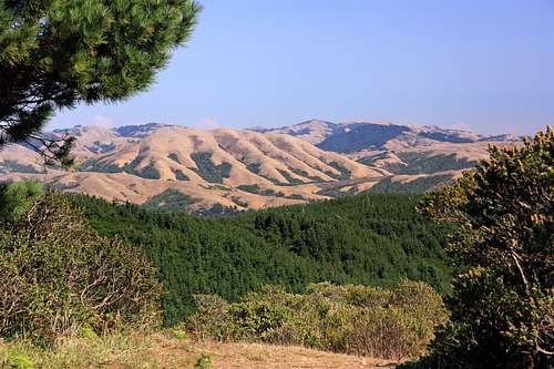
 East panorama from Point Reyes Hill
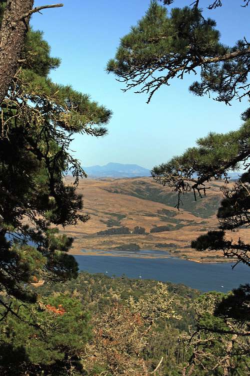 Across Tomales Bay to Mt. St Helena