Overview
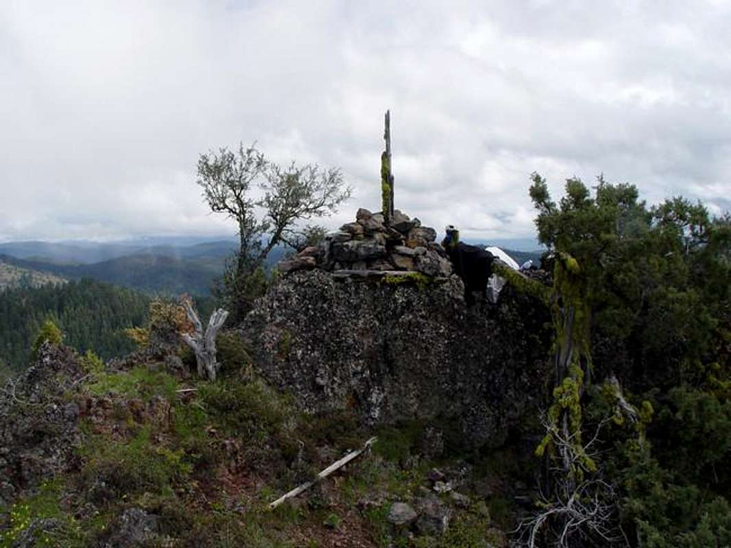
Very interesting lava bump. Standing back with your thumb in the foreground, you can tell how this butte got its name. Don't bring the ropes to Nipple Butte, but bring a good pair of old traction soles. You'll need them while scrambling to the summit along the lava cragged ridge. It's a short but steep climb to the summit. This is a half day adventure (if you dillydally), but worth the views. A 360 will get you views of the John Day valley to the south, and Keeney & Clark Meadows to the north. There's not much sign of other man, but I think that's because not many know of it.
![]()
The "Nipple"
Getting There
Take Hwy 26 East to Mt. Vernon. Turn left on 395 and head north for 11 miles. Take a right on road 3940. Stay on this smooth gravel road for about 7 miles. You'll come to a fork.... Take a right over the cattle guard where you'll see a road sign #3947. Travel this road for about 3/4 of a mile. Look for the unmarked trailhead on you right. It looks like an old road with logs and trees across to deter motor vehicles. Walk a half-mile on the road, then scramble up to the left and to the ridgeline.
Red Tape
No permits that I know about.
When To Climb
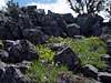
I would say the best time to do this is in the spring while the ground is still moist and the flowers are in bloom. These hills are generally pretty dry and not very colorful in the summer & fall. I've never been out here in the winter but I would imagine that with the elevation, on a good snow year, you might not get back in till late May/June.
Camping
Follow the "Leave No Trace" rule, and you can camp just about anywhere. I'm new to this area so I really don't know where the CG's are.
Mountain Conditions
For the local weather check
here.
Miscellaneous Info
There is no cell service on the summit.

 12015 Hits
 77.32% Score
 9 Votes