|
|
Mountain/Rock |
|---|---|
|
|
44.24288°N / 118.1363°W |
|
|
Malheur |
|
|
Scrambling |
|
|
Spring, Summer, Fall |
|
|
7811 ft / 2381 m |
|
|
Overview
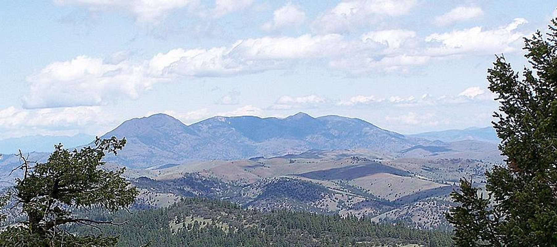
Located deep within Eastern Oregon's High Desert is this remote and rarely climbed gem with unique views in each direction; whether it be the Malheur River badlands and Castle Rock to the south or the high reaching Elkhorns to the north. Number fifty-two on the P2K list with 2211 feet of prominence; the summit of Ironside Mountain lays at the southwest end of a mountain complex that stretches over five miles from end to end and includes a series of subpeaks at similar elevations. This mountain is composed of rhyolite, andesite, and basaltic magma from Strawberry Miocence eruptions. You can expect to see variations of each rock type along the steep slog up the summit cone with a few patches of flaky biotite hidden along the way. From a distance the mountains bare rocky sides appear red and black, most likely the source of its "Ironside" moniker.
Above; Ironside Mountain seen from Castle Rock to the south. The summit is the leftmost peak.
Much of Ironside Mountain is blanketed in old-growth Douglas Fir, although many areas around the mountain have been affected by wildfire including the northwest face of the summit cone. All the usual Blue Mountain animals can be seen here, and the rocky cone itself is heavily criss-crossed with deer and elk trails that greatly aid the scrambler struggling to make the summit. Route-finding your way to the summit from the road merely requires that you scramble your way up and southwest, no other instructions are really necessary unless you decide to forego the drive in and hike from the east or south.
Getting There
While readily visible from US Highway 26 between Ontario and John Day, this mountain is rarely climbed, and finding access to its summit can be difficult. With a robust 4x4 you can drive within a mile of the summit, otherwise the hike is considerably longer. With that in mind, these directions lead to the base of the mountain, use your judgement when deciding how close you think your vehicle is capable of driving.The nearest significant communities are Vale in the east and Prairie City to the west. From Vale travel 55 miles west to Camp Creek Road on the south side of Highway 26. From Prairie City travel 45 miles east on Highway 26 to Camp Creek Road less than one mile past tiny Murray Reservoir. You will turn off and follow paved Camp Creek Road / NFD 1684 three miles to a fork where you will make a left turn onto gravel. Although you have left the main paved road you are still on NFD 1684. Follow this gravel road five miles up King Creek to a burnt out mountain pass where you will take a left driving directly towards Ironside Mountain. Follow this increasingly rough road 1.3 miles to another fork. Here you will take a right and head uphill another 2.7 miles to the base of Ironside Mountains summit cone. Use this MAP contributed by Dean Molen for reference.
Once at the parking spot the route will be obvious, just head uphill using animal trails whenever possible to make the climb easier. The summit can be reached in less than 45 minutes at a leisurely pace.
Red Tape
Ironside Mountain is a popular hunting area so be sure to wear bright colors in the fall. Much of the land around Ironside Mountain is posted as private property, be sure to camp in public areas. Northwest Forest Pass not required.Camping
There are no developed campgrounds in the immediate vicinity of Ironside Mountain, however 2 miles from the Highway 26 on FSR 1684 is a small campground with fire rings and a creek running alongside it on the east side of the road. I would warn though, that this creek runs through cattle country, so I strongly advise you to bring water if your camping here, or make sure to THOROUGHLY boil and filtrate your water. There are no significant towns within 50 miles, so staying at a motel is not really an option.


Beulah Roamer - May 23, 2013 9:37 pm - Hasn't voted
FYIThe campground mentioned has been decommissioned years ago by the USFS. The fire rings are still there. No maintance. Unity Oregon is apporx 16 miles away & has full services. Yes the Motel is open for the 1st time in 30 yrs. Allot of the land around the mountain is private & part of the old Castle Rock Ranch. Now owned by Tri-Valley Ranches. If you are in there from the end of August to the 1st of the year. You will probaly be followed & warned by Battle Cr Oufitters. They have or had the fee hunt rights to the ranch. Beutiful Moutain & better now that Marvin Farely sold out.