|
|
Mountain/Rock |
|---|---|
|
|
44.33740°N / 118.7723°W |
|
|
Grant |
|
|
Hiking |
|
|
Spring, Summer, Fall |
|
|
7424 ft / 2263 m |
|
|
Overview
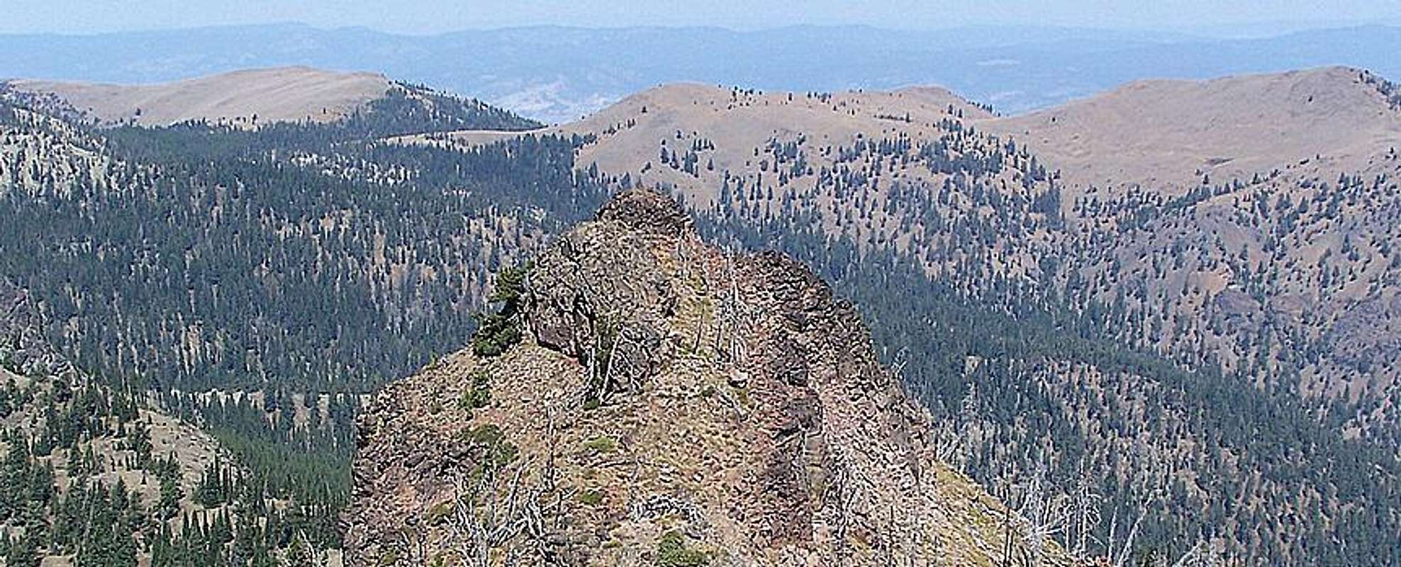
Baldy Mountain is a relatively insignificant peak in the Strawberry Mountain Range when looking at elevation gain, overall height, and difficulty of hike. What Baldy does offer though is a mile long summit meadow with a great view of the higher peaks to the south and especially Strawberry Mountain's steep west face. The Pine Creek Trail you will hike to the saddle of Baldy Mountain is the gateway path to the western Strawberry Mountains such as Pine Creek Mountain and Indian Creek Butte. You can follow the summit meadow east and eventually south to easily access these mountains while enjoying a view not afforded by following the trail which dips down onto the south face of Baldy. Like other Grant County mountains, 19th century mining sites can be found on and around the mountain. The Celebration Mine can be seen from the summit saddle far below in the Pine Creek Canyon.Below; Baldy Mountain as seen from the narrow summit of Indian Creek Butte

Geologically; Baldy Mountain like the rest of the Strawberry Mountains is uplifted ocean seafloor folded upwards as the Pacific Plate crashed into the North American Plate. Finally, worth mentioning is there is an abundance of Baldy Mountains in Oregon such as one a mere 18 miles to the east, you may want to take this into consideration if asking for directions for any reason.
Getting There
Travel five miles east of John Day on highway 26 and turn right onto Pine Creek Road (US 5401). Follow this road 8.5 miles to the Pine Creek Campground where you will want to park unless you have a four wheel drive vehicle. The trailhead is only half a mile further up the road (go left at the Y just pass the campground), so this campground makes a good place to park. To avoid getting lost on the drive in make sure to follow the most maintained road and always take the road that goes up when you come to any splits as there are several roads that spur off of Pine Creek Road.The Pine Creek Trail is a mild well maintained path that climbs the face of Baldy Mountain crossing the peak at its saddle. Once you reach the saddle head due east to reach the summit of the broad mountain. There is only about 1000 feet of elevation gain here, and from trailhead to summit is about 2.5 miles if you stay on the trail.
Malheur National Forest maps are available in John Day at Malheur National Forest Supervisors Headquarters located at 431 Patterson Bridge Road.
The Malheur National Forest website is HERE
Red Tape
Baldy Mountain lays in the Strawberry Wilderness area, so there are Wilderness Laws governing this area. Northwest Forest Pass is not required at the campground or trailhead.When to Climb
Once the snow clears off the road in late May until it sets back in sometime in October or November.Eastern Oregon is prone to wildfire and varying weather conditions. Concerns such as weather and fires are HERE on the Malheur National Forest website.


