|
|
Mountain/Rock |
|---|---|
|
|
44.31137°N / 118.63962°W |
|
|
Grant |
|
|
Hiking |
|
|
Summer, Fall |
|
|
8521 ft / 2597 m |
|
|
Overview
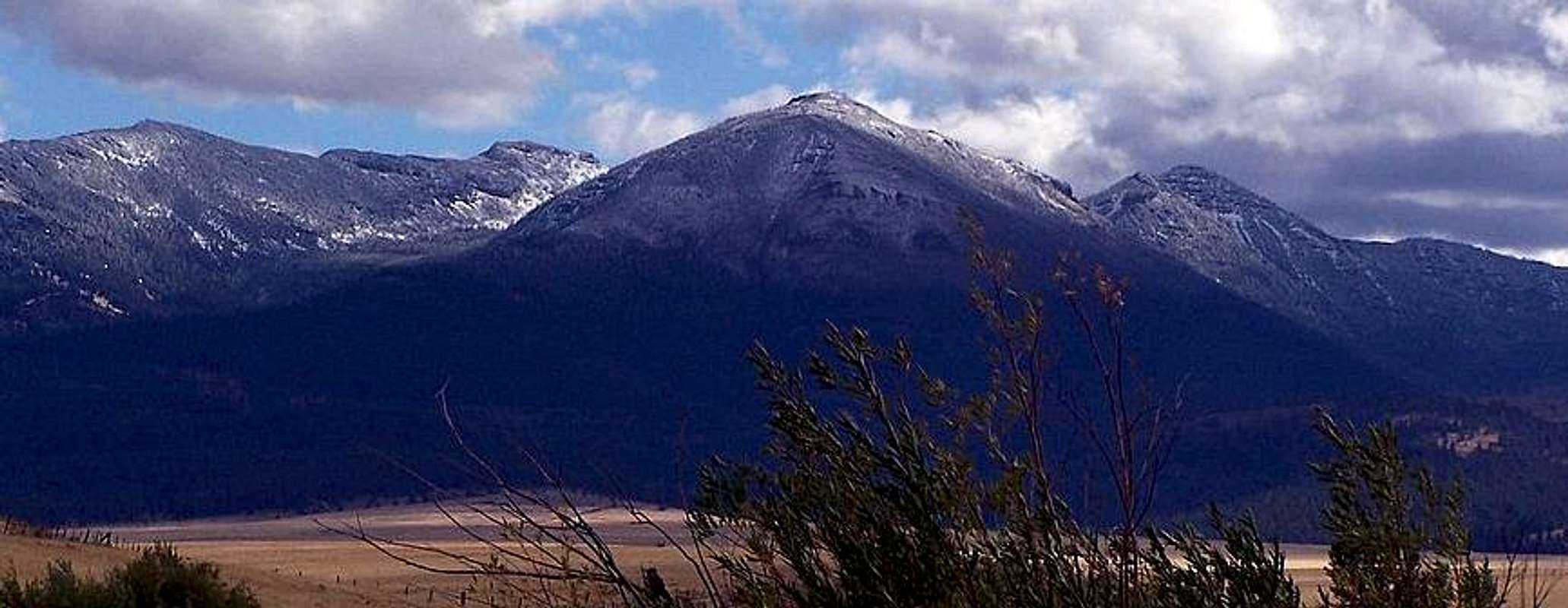
Slide Mountain, the fourth tallest of the Strawberry Mountains is most likely named after the narrow "slide" that runs down the length of the mountains north face, which was especially prominent during winter months before a forest fire burned off the trees around it. Slide Mountain does not have a trail to the top of it, and is a lengthy hike from any approach. Reaching the summit is an arduous task with several thousand feet of elevation gain that will take the better part of a day, so be prepared for a long walk in, and an exhausting hike back out. The most straightforward route begins at Strawberry Lake trailhead and travels east across the south end of Strawberry Lake's 8000 foot east ridge through Slide Basin to the west face of Slide Mountain. Once on the side of Slide Mountain you can leave the trail and make your ascent up through a chimney in a notched cliff to the rocky summit just above.Nearby 8570 foot Graham Mountain can be reached from Slide Mountain with another 45 minutes of hiking along a remote (relatively) high elevation ridge.

Above: Slide Mountain 09/16/06
Slide Mountain like much of the Eastern Strawberry Mountains was formed by Miocene Volcanics. The broad flat top of Slide Mountain is primarily a mound of large igneous type boulders as seen in the images below. The left image shows the location of the summit register (right of the tree), while the center image shows Strawberry Mountain in the background. The image on the right reveals nearby Graham Mountain (8570 feet) which can be reached from Slide Mountain with a short ridge traverse of roughly one mile and some precarious scrambling up its steep west face.
Getting There
In Prairie City which is 13 miles east of John Day, turn south off of Highway 26 onto South Bridge Street. Follow South Bridge Street until you see the turnoff on the right for Strawberry Campground / Wilderness which is Bridge Street / county road 60. Follow this road 11 miles to its termination at the Strawberry Campground.Red Tape
No parking fee required for dayhikers, fee is required for overnight parking or camping. The Malheur National Forest website lists current restrictions for the area.Camping
Campsites are available for a fee at the Strawberry Campground at the trailhead for Strawberry Lake. Strawberry Campground has running water, tent sites, and trailer sites. Strawberry Lake, and Slide Lake, both in the vicinity of the Slide Mountain route are beautiful high elevation lakes with fishing potential and plentiful camping locations. Slide Lake is located just beneath the leftmost rim in the image below.


