|
|
Mountain/Rock |
|---|---|
|
|
44.58284°N / 118.62608°W |
|
|
Grant |
|
|
Hiking, Skiing |
|
|
Spring, Summer, Fall, Winter |
|
|
7592 ft / 2314 m |
|
|
Overview
Perched at the eastern end of the John Day Valley overlooking Prairie City; Dixie Butte is an unparalleled viewpoint for the Blue Mountains. From the summit is a grand view of the Elkhorn, Strawberry, Aldrich, and Greenhorn Mountains, with the Monument Rock Wilderness and Castle Rock also visible to the southeast. When the lighting is right, you can see the silhouette of the Ochoco's flat-topped Lookout Mountain in the distant west. Dixie Butte was named by a group of Civil War veterans who settled Dixie Creek establishing gold mining claims during the gold rush of the 1860's and 1870's.
Historically over 20,000 ounces of gold were extracted from Dixie Creek. Local rumor has it that there is a donkey engine located somewhere on Dixie Butte. Donkey engines were immobile steam engines used for pulling logs early in the 20th century. The Sumpter Valley Railroad used to run a narrow gauge rail line between Prairie City and Sumpter Valley, there is a small park at the Dixie Summit Pass acknowledging this on the south side of the highway.
Dixie Butte is #44 on the list of Oregon peaks with 2000 feet or more of prominence.
This is a popular area for local hunters, so dress appropriately during hunting seasons running fall and winter. Snowmobiles may be present during weekends while there is plentiful snow on the peak, and finally, a fire lookout (staffed during summer months) and two moderate sized antennae are present on the summit.
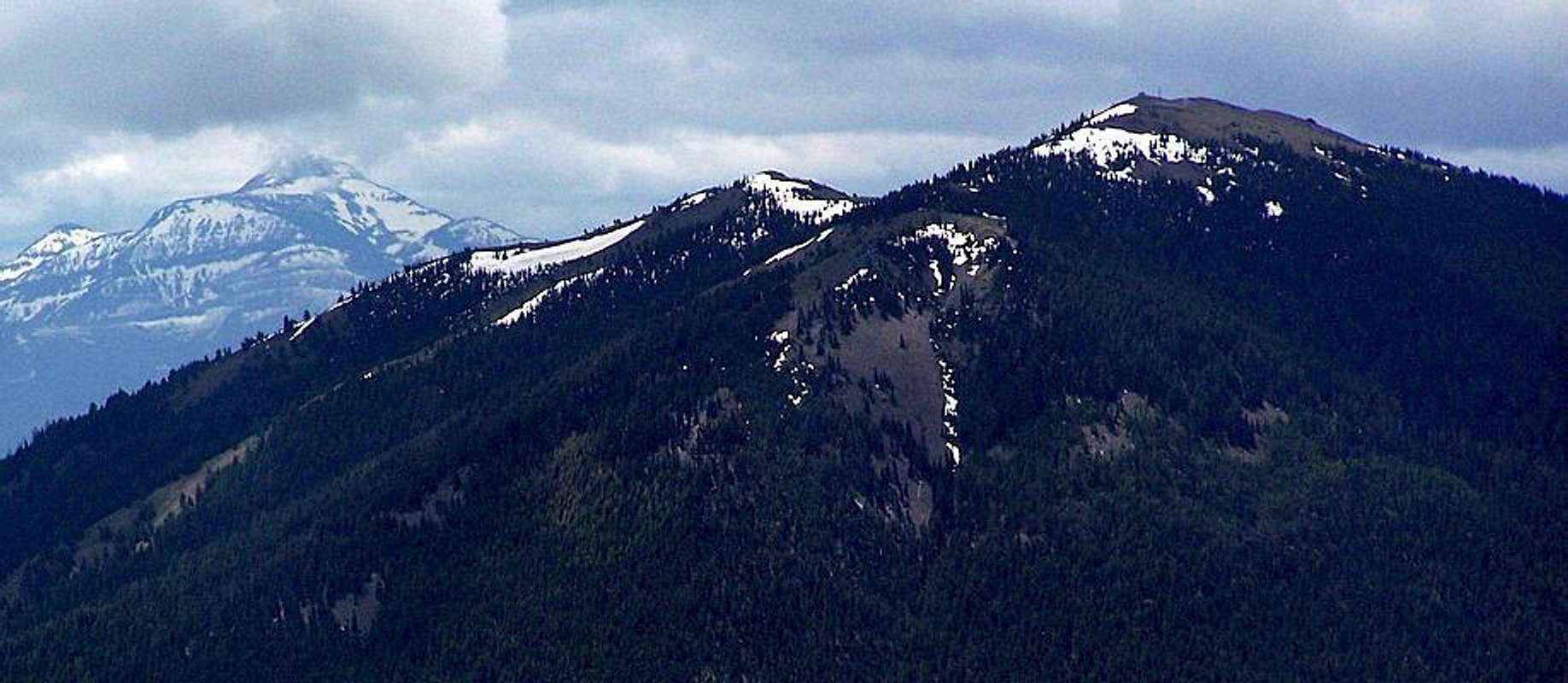
Below; Dixie Butte as seen from Vinegar Hill with massive Strawberry Mountain in the background.

Getting There
Dixie Butte is accessed by Forest Service road 2610 which leads directly to the summit. Travel approximately 14 miles east of Prairie City on US Highway 26 to the north turnout at Dixie Summit Pass to access road 2610. Prairie City is located 13 miles east of John Day in central-eastern Oregon.
Malheur National Forest maps are available in John Day at Malheur National Forest Supervisors Headquarters located at 431 Patterson Bridge Road.
The Malheur National Forest website is HERE
Red Tape
There is private land at the base of Dixie Butte to the east of road 2610, obey posted no trespassing laws. A Northwest Forest Pass is not required for this area.
When To Climb
July to late September is the best time to either drive or hike the narrow dirt road leading to Dixie Butte summit. This mountain is also an ideal snowshoe destination for winter months, with adequate snow typically being available most years from mid-November to late March. When snowshoeing be sure to have a compass and map or GPS device as FS2610 does have spur roads and in snowy conditions, a hiker could easily become lost. With a road all the way to the summit, cross-country skiing would also be enjoyable on Dixie Butte.
Eastern Oregon is prone to wildfire and varying weather conditions. Concerns such as weather and fires are HERE on the Malheur National Forest website.
Camping & Dining
There is camping at the Dixie Campground which is less than half a mile east of the turnoff for Dixie Butte on the north side of Highway 26.
The Forest Service page for the Dixie Campground is HERE
Lodging can also be found in nearby John Day which is a great jumping-off point for the Strawberry and Aldrich mountain ranges.
For dining, the Austin House is located at Austin Junction a few short miles east of Dixie Summit Pass on highway 26. This restaurant/store/tavern combination serves delicious food, the elk burger is highly recommended when available.
The View from the Heart of the Blue Mountains

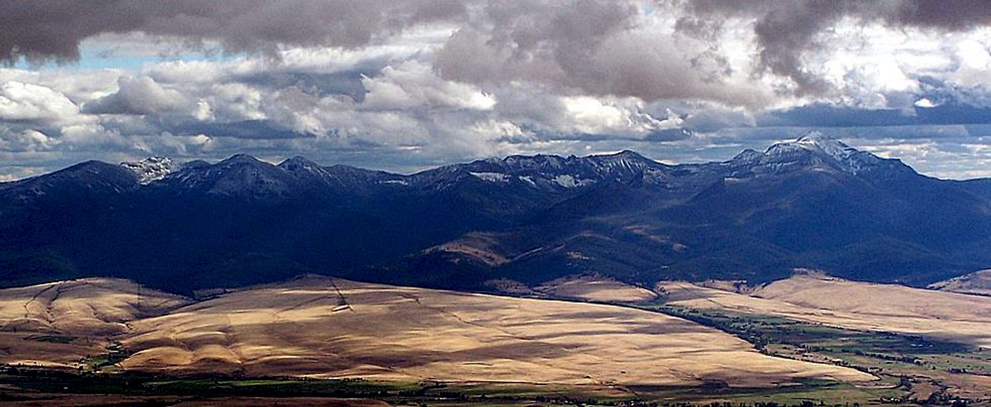
Looking south towards the Strawberry Range.


