
|
|
Mountain/Rock |
|---|---|
|
|
35.84580°N / 14.39610°E |
|
|
Spring, Summer, Fall, Winter |
|
|
830 ft / 253 m |
|
|
Overview
Satellite view, centered on the highest point.
Click here for a larger version
The highest point is just a few meters north of the coastal road, Triq Panoramika - the name says it all.
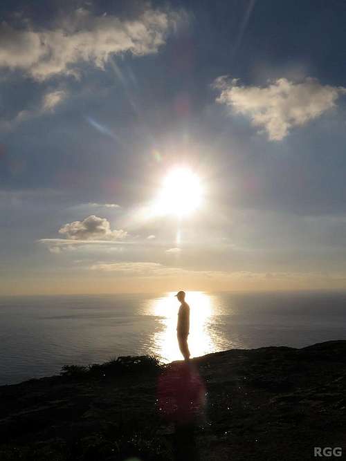 An hour before sunset above the Dingli Cliffs | 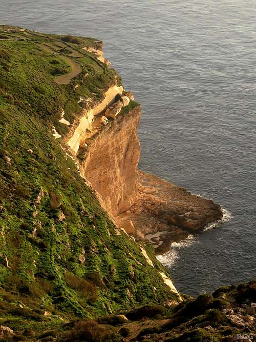 Dramatic coastline | 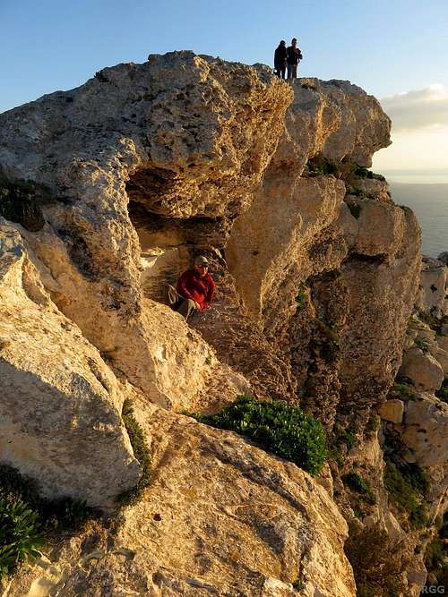 Jan relaxing at the cliffs |

On top of one of the candidates
Candidate with a pole
Finding the 'summit'
Finding Ta'Dmejrek is easy, finding the actual summit is a bit of a puzzle. There are no signs. There are a number of small bumps on the area by the side of the road that, at first sight, all look like plausible candidates. I simply went to all of them. On the first one I took pictures in all directions so I could stitch them into a 360° panorama later. Another one even had a rusty pole on it, as if to mark it.Afterwards I decided to contact the Department of Geography of the University of Malta to figure out which one was the highest. Based on their information I concluded that it was close to the first one I stood on, not the one with the pole.
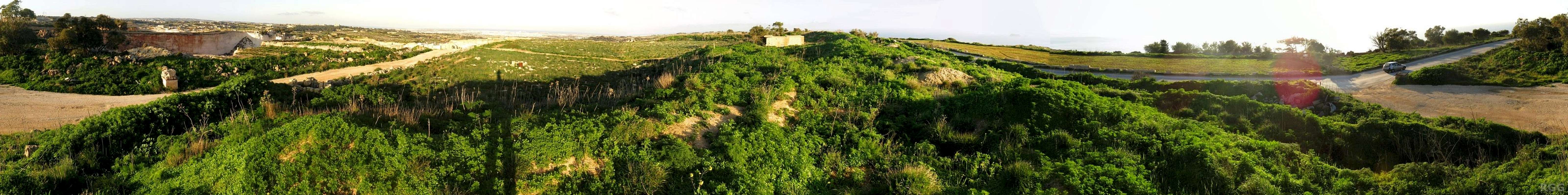 The underwhelming 360° almost-on-the-summit panorama. The dirt road on the left belongs to the quarry. Scroll a little to the right and you'll see my shadow; it points towards the densely populated area around Valletta, on the other side of the island. Scroll further, and just before Triq Panoramika becomes visible so does the bump that turned out to be the real highest point. On the far right is the junction with the dirt road. |
Getting There
Map of Malta, centered on Ta'Dmejrek.
Click here for a larger version
By Air
Most visitors arrive by air, at Luqa airport. There are good connections to most major European airports as well as a number of smaller Italian ones. The main airlines servicing the country are Air Malta and Ryanair.By Sea
Malta has a large natural sea port, The Grand Harbour, right next to the tiny capital of Valletta. The whole area around the port is built up. There are several ferries servicing Malta, which can be especially useful if you want to bring your own car.Getting to Ta'Dmejrek
Malta is a small island. The highpoint is 12 km from the airport and 13 km from the Grand Harbour ferry terminal so it's quite feasible to walk, but for the most part the scenery isn't worth it.The nearest bus stop (visible in Satellite view) is called Zuta, on Triq Panoramika, half a kilometer east of the actual highpoint (and almost the same elevation). According to Malta Public Transport it is serviced by bus 201 connecting the airport with Ir-Rabat and passing through Ħad-Dingli, the nearest town.
There is (free) parking space along the road, to accommodate visitors for the Dingli Cliffs. Few tourists come in winter, the low season, which means that there is plenty of room to park, and rental cars are cheap.
Red Tape
Entrance to the quarry

A flower in the buffer zone north of the road
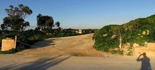
The actual entrance of the quarry at Triq Panoramika was closed off with a simple chain, but there is no barrier between the road and the highpoint, the land right around it isn't developed and there are no signs.
In 2015 the local Planning Authority published a map outlining a small increase in the area that may be quarried. South of the quarry, it designates the cliffs as an "Area of Ecological Importance" and the area between the quarry and the cliffs, including the highpoint, as a buffer zone.
In normal English that means developing it is not permitted or strictly controlled, which gives the highpoint some protection against destruction. Nevertheless there is a small, old building close to the highpoint in the buffer zone. Furthermore, Triq Panoramika, which is obviously a significant development, already dissects the buffer. I can imagine that at some point the buffer area will be reduced to the area south of the road, allowing for development of the whole area north of it.

Small building in the buffer zone, close to the highpoint
Accommodation
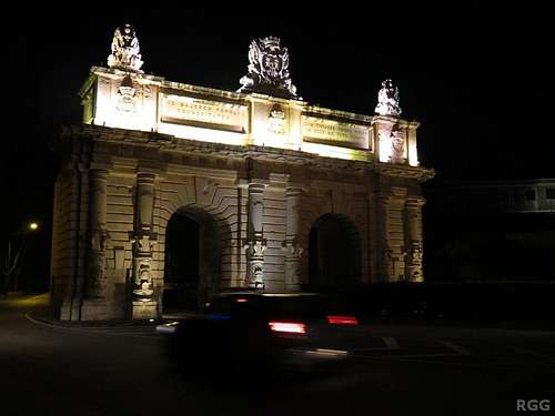
Porte des Bombes, Floriana
Since it's a small island, you can stay anywhere on Malta. Apart from outdoor activities, you can go shopping in Sliema, watch the historic architecture in and around Valletta, sample the night life of St Julians. There is plenty to do.
The many accommodation options range from cheap hostels to expensive hotels. The first night of our visit we had booked at Boho Hostel. I had some trouble actually finding it - in the built-up area around the capital the road patterns are rather chaotic - but once I got there, it proved to be a nice, relaxed place and we stayed a few more nights.
External Links
Malta Airport Weather - an excellent site.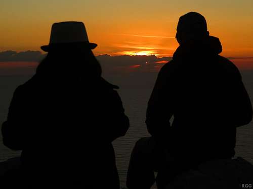
Watching the sunset at Dingli Cliffs