A Quote...
“Thanks to that long spell of good weather (and by disregarding the thunderstorm warnings) we sure accomplished something very special this summer!” The Peak Monster – 2nd Aug 2013. ![Al, Mark and Rob on the Zumsteinspitze (4563m)]() Alps International Expedition 2013
Alps International Expedition 2013PROLOGUE
Mont Blanc summit 4810m 10th July
![Mark covering the last few meters to the summit of Mont Blanc]() Last steps up to Mont Blanc summit
Last steps up to Mont Blanc summitThings are no longer going according to plan.
We had set ourselves 3 objectives for Mont Blanc: an ascent of the remote
Italian ‘Pope’ route; a bivouac on the summit; and finally visiting the Italian summit of
Mont Blanc de Courmayeur.
Having laboured all the way up the Val Veni and Miage Glaciers yesterday and Gonella route to the summit today, we have ticked off the first. We are about to tick off the second – that of spending the night on the top, which I dreamed up over a decade ago, and of which I convinced my sceptical companion it would be a good idea about a year ago.
But here, things have started to go pear shaped. The snow cave, which we have spent most of the afternoon trying to dig, is more of a pit than a cave. We hit very hard snow less than a meter down and the snow blocks we have been carving out are too crumbly to effectively complete the roof.
And now it looks as if we have not just one, but two bloody great thunderstorms heading our way. After 3 hours of digging, we had conceded defeat in terms of tunnelling any further into Mont Blanc’s summit. As I straightened my aching back for the last time I took in that we no longer had a view looking out over Mont Blanc de Courmayeur into Italy. Cumulus clouds had been bubbling up from the depths for a number of hours. But now, the magnificent Wagner overture of a sunset we have come to see from the highest point in Europe is apparently going to be blocked by a great wall of cloud, which is towering up above our heads. That is a cumulonimbus cloud a.k.a. ‘cu-nimb’ – or thunder-cloud.
![Cumulonimbus cloud]() A very distant cumulonimbus cloud on Italian side of Mont Blanc in 2010
A very distant cumulonimbus cloud on Italian side of Mont Blanc in 2010This close up the outline of the cloud is sort of fuzzy, outlined in wreathes of dull yellowish mist. But there is no mistaking the malevolent top heavy dark core though – more brown than black. There is no wind at all. All has been ominously silent. It is true what they say about the ‘calm before the storm’. Except that now we are hearing the distant grumble of thunder...
A short while ago, I remembered that I had promised to try and phone my wife - and I also wanted to try and phone my eldest son, whose birthday it was that day. I had walked slightly breathlessly the short distance back up to the summit, intending to drop back over the other side, back into France. I fancied I’d be able to phone from there without there being the disturbing mutter of thunder in the background.
But there is another even bigger cu-nimb over there, rising up from France. I decide I’d better leave any phoning until morning – when it will be after what is to come. ..
My Dutch companion Rob is unimpressed at the situation. He is a very experienced alpinist, but I am supposed to be the snow-cave expert. My credentials for this are that I spent a total of two weeks living in a snow-cave on Broad Peak. This was 26 years ago. But then I had revised my ancient skills as recently as April, when I dug a very successful
snow-cave on the summit of the 3rd highest mountain in England, with my youngest son – after the exceptional spring snowfall.
![Mont Blanc - summit bivvy]() Rob attempting to fix the roof
Rob attempting to fix the roof“We should have a proper roof!” says Rob, stating the obvious and in tones of slight reproach.
I scrabble to find something positive to say in response - perhaps to highlight some other feature of our new temporary home, which could in some way compensate... The floor for instance is very
nice – very flat, free of lumps and large enough for the two of us to lie down on. But there is no escaping the fact that a third of this attractive feature is well, open to the sky.
“We should at least be safe from lightning here, right?”
“Hmmm...” I respond ambiguously. Actually, now that we are faced with it, I can’t remember if a snow cave (or our apology for one) is a good thing to be in during a lightning storm - or the complete opposite. I have a nagging sense that really the best option, is to be a very, very long way away...
When I saw the French cu-nimb it occurred to me that we should make the effort to quickly pack everything up, go back over the summit and descend the 500m of undulating ridge to reach the Vallot Shelter. But I soon dismissed the idea. We didn’t have time - and it would surely be worse to be caught out on a ridge.
We have managed to have a meal and a brew. A short while ago, operating in a sheltered, level area, a by-product from carving out snow blocks, I fired up the stove and attended to the tedious business of melting snow. Eventually we had enough hot water to have soup, a freeze dried meal, another drink – and some left over to fill a couple of our bottles.
So now, all there is to do is get ready for a very long night.
We place metallic things, like our ice-axes and crampons, 10 meters away from us, in the levelled out cooking area. I still feel a vague unease – I don’t think I like the thought of a lightning strike coming
that close, even if our prudent action means it doesn’t score a direct hit.
All non essential items go into our rucksacks, which in turn go inside their rain-covers, at the entrance to our home. My boots are sopping wet. Despite repeated spraying with water repellent, all this trip they have tended to absorb water, especially in late afternoon snow. Wet boots doesn’t bode well for the morning, when they will be frozen. But distracted by the approaching storm all I can do, as I struggle into my sleeping bag, is to turn them upside down and wrap them in my gortex jacket.
Rob is already cocooned in his sleeping and bivvy bag. In the limited confines of the Mont Blanc Hilton, it was a major struggle getting his lanky frame ensconced.
![Broad Peak - snowcave]() More successful snowcave: Broad Peak in 1987
More successful snowcave: Broad Peak in 1987![Snowcave on Helvellyn]() More successful snowcave: Helvellyn summit April 2013
More successful snowcave: Helvellyn summit April 2013“I hope I don’t have to pee” he announces, reflecting my exact thoughts at that particular moment. But it is just short of 6pm. The chances are we are both going to have to face that particular curse before the night is through. We should have kept the empty sachets from our meal handy. That was what we had planned to use - but in our haste to take cover, those had been buried in a stuff sack outside.
At last I am cocooned myself. I am actually reasonably comfortable and warm – apart from my wet feet. And I hope those will dry out overnight. I try to position myself in such a way to let fresh air penetrate the unfamiliar folds of my new bivvy bag. At nearly 5000m, the air is thin enough already, without adding suffocation to the challenge of breathing.
All there is to do now is lie and wait until morning. I recognise I am actually exhausted now from the day’s exertions. Even though it is so early I could fall asleep. But the thunder is getting louder and more frequent and there is a nagging anxiety to keep me awake.
With a soft eerie hissing sound, as it lands on our sleeping bag covers, it has stated to snow...
INTRODUCTION
The origins of this trip lie in
Alps International Expedition 2012, last September. I had met
Rob a.k.a. rgg through Summit Post – and despite indifferent weather we had squeezed out 4 summits across France, Italy and Switzerland. We had called ourselves an International Expedition, since I am half each British and Kiwi. Rob is Dutch, and speaks 4 different languages including HTML. In this year’s 2013 expedition I am pleased to say we became even more international in that we picked up a mislaid Welsh Hitchhiker in the middle of an Italian glacier – but more about him later...
When Rob suggested we might join up again in 2013 I wasn’t entirely sure about it. His other alias apart from rgg, is that of
Peak Monster. I gave him his title when I learned that in the 3 months before I met him last year, he had already climbed over 50 summits across the Alps – nearly as many as I had climbed over 40 years. The weather in September 2012 constrained him somewhat, but keeping up with him still resulted in bodily injury on my part: my right buttock had stayed a slightly different shape after what took place on the Aiguille du Tour – and there persisted still visible evidence of other bodily harm in the misshapen appearance of my right big toe-nail.
![Alps 2012 TR]() Alps International Expedition 2012
Alps International Expedition 2012![Alps 2012 TR]() An old Alpine Hut hand rgg has acquired the knack of making sure they fed him twice
An old Alpine Hut hand rgg has acquired the knack of making sure they fed him twiceAnother thing is that Rob is also a
Hut-Monster. He has stayed in millions of alpine huts, despite the cost. This is largely about his vast appetite: he needs constant re-fuelling to propel his lanky frame up all those mountains. Using huts, he doesn’t have to carry so much – and as an old hand, he has acquired the knack of making sure he always gets fed at least twice at meal times. I’m not keen on huts. Most of my alpine climbing has been from camps or bivouacs. After paying 8 Euro’s for a miserable litre of water in a Swiss Mountain Hut last September (plus experienced my wife’s response to the total cost of that trip) I vowed I would not be dragged around anymore alpine huts if I joined with Rob this year...
But there was one common objective drawing us together for Alps 2013. We both wanted to climb Mont Blanc via the Gonella route, up from Italy. In addition, despite his Hut-Monster tendencies, I had persuaded him that above all, he really needed to experience a bivouac on the summit of Europe. You don’t get many who either want, or see the need, to do that – so... Peak Monster, Hut Monster – whatever – I was going to the Alps with Rob again, in July 2013. And I wouldn't come to regret it.
CIMA DI JAZZI 3803m
On Friday 28th June 2013 I did a morning clinic at the Drugs & Alcohol service where I work in Leeds, set my e-mail and mobile phone holiday messages and drove to Switzerland. It poured with rain all the way – so I experienced my first bivvy of the trip, cramped uncomfortably in a front seat of my car.
Mid afternoon on the Saturday, I found the Peak Monster lurking at Visp railway station. It was hard to recognise him at first, since he had brought a different beard – much smaller than the one he had 9 months before, which had made him look like either an escaped prophet, or some kind of alcoholic vagrant. He had been in the Alps for just over a week – and already ticked off at least eight new summits around Domodossola, in Italy, just to the southeast of Visp.
In (temporary) deference to my Hotels and Huts embargo we camped up the valley at Randa, just a few kilometres from Zermatt.
I had brought out fuel and freeze dried food and Rob had plenty of extra food, so without further ado we high-tailed it for Zermatt on the Sunday, briefly checked out conditions – and by midday were alighting from the train at Rotenboden, the penultimate stop on the Gornergrat mountain railway, at around 2800m.
![Cima di Jazzi 3803m]() Rob on the Gornergrat railway
Rob on the Gornergrat railway![Cima di Jazzi 3803m]() Rob + Monte Rosa 4634m
Rob + Monte Rosa 4634m We had fuel and food for 5 days. The goals for the trip were a glacier camp at 3000m, an acclimatisation trip up Cima di Jazzi (3803m) – a little bump on the Swiss-Italian border – and then to turn our attention to the much greater objective of the two highest Monte Rosa summits, Nordend (4609m) and Dufourspitze (4634m). At least – that was Plan A. Several other plans and variations were also on the table.
Despite pouring rain over the previous 36 hours, the weather was glorious. Monte Rosa and the other four thousanders of the frontier ridge all shone in the sun, pristine with their new coats of dazzling white snow. But the first indication that Plan A might not be ‘go’ came from a couple we met, who had just come from the Monte Rosa Hut. They told us that of the few trying at the moment; most were failing on both Dufourspitze and Nordend due to deep snow. The most successful forays had been people on skis...
We didn’t have skis.
![Cima di Jazzi 3803m]() Camp at 3000m on Gorner Glacier
Camp at 3000m on Gorner GlacierNonetheless, with rucksacks heavy on our backs, we strode onwards – and presently found ourselves standing on ice, at the edge of the vast glacial amphitheatre at the foot of Monte Rosa. Having walked in a long descending traverse from Rotenboden, we had dropped down to around 2400m. But now, we were going to re-gain all the height we had lost and then some, since our objective was a level area at 3000m on the Gorner glacier, tucked up underneath the long ridge of the Gornergrat. We had identified this possible camp site on Google Earth some months before.
There was no sign of any trail, but we found a route up a narrow ablation valley at the edge of the glacier. We laboured upwards for a couple of hours, laden under 25kg packs – and in due course, Rob’s mountain tent was up and my was stove going – boiling water from a small stream we had found, a short awkward scramble away from our camp. That evening we were treated to a fine display of alpenglow on the stunning array of four thousand metre peaks before us – including the famous Matterhorn.
![Cima di Jazzi 3803m]() Alpenglow on the Matterhorn, from camp
Alpenglow on the Matterhorn, from campAt 5am next day I was up and raring to go. But I made a discovery: Rob was even less of a morning person in a tent than in a hut.
“We don’t need to be up this early!” he grumbled with uncharacteristic grumpiness.
With all the talk of deep soft snow, I thought we
did – and fed him strong coffee and hot water for his morning bucket of granola until he finally consented to move.
But once his feet were planted on the glacier outside the tent, as I knew it would, all traces of Rob’s morning sloth evaporated. The peaks were shining with morning alpenglow now.
“Seeing a sight like that” I said “It makes you understand why the Swiss Yodel, doesn’t it?”
But the Peak Monster wasn’t prepared to go
that far. “No – I will never understand that” he replied.
Nevertheless, the sight was compelling and with a text-book display of rope untangling Rob, as most up to date glacier travel expert, had us roped up – and with those funny little knots in the rope to provide drag, if one of us fell down a crevasse. I'd noticed the odd guide adopting this practice in recent years and speculated as to whether they had either mislaid members of their party - or couldn't count and tied too many knots... However, Rob had been on an advanced Alpine Skills course the previous year and explained all.
We left our little camp and were soon just a pair of tiny dots, in the mind bending hugeness of the vast frozen white desert of the Gorner Glacier. I've always had a fascination for polar travel and imagined crossing this great expanse to be as close to the feeling of being on a polar icecap as I am likely to get.
![Cima di Jazzi 3803m]() Morning on Gorner Glacier, before mighty Nordend
Morning on Gorner Glacier, before mighty NordendOur objective for the day was just a 2-3 hour easy ascent of Cima di Jazzi (3803m), a modest little summit on the frontier ridge – and somewhat overshadowed by the mighty precipices of the Monte Rosa Nordend, some 800m higher. However, this lowly objective would give us a leg up in acclimatisation – and I looked forward to getting views of the mighty East face of Nordend and of some of the other Monte Rosa summits, from the top.
Unencumbered by the heavy packs of the day before, we made steady progress over the shining white undulations of the glacier. There were no signs of anyone else – and the only boot-prints in the snow were ours. But with the vast scale and undulations we could also see no sign of our objective, which, from the Swiss side, is not much more than a snowy ‘hump’. Here, I was feeling increasing disquiet and even irritation.
![Cima di Jazzi 3803m]() Peak Monster heading for Gran Fillarhorn 3674m
Peak Monster heading for Gran Fillarhorn 3674m“Err Rob” I said for the umpteenth time “We are heading the wrong way – Cima di Jazzi is
way off to the left!”
He paused, peered over the tops of his spectacles at the map – and launched into an incomprehensible spiel of justification. With his fluency in four languages, I wondered if he had picked the wrong one – and was about to remind him not to address me in either German or HTML... But then I remembered he is a hard core scientist. Perhaps what he was trying to explain was something to do with the space-time continuum. I never understood any of that stuff – but it is something to do with how there can be no such thing as travel in a straight line -
Ergo though we appeared to be travelling at right angles to the direction of Cima di Jazzi, scienterrifically speaking; we were in actual fact headed straight for it, due to this distortion in the space-time continuum...
But then I got it: right there up in front of us, was the only summit we could see at that moment; the comely snow-dome of Grosse Fillarhorn (3674m).
Damn, I thought to myself, he wants to climb it...
I started to launch into an irritable tirade about ‘keeping to the plan’ and ‘at least climbing the right mountain’ and so forth. But then I felt it too: Peak-Monsterness began to course through
me. If I couldn’t beat Rob, perhaps I could at least join him.
![Cima di Jazzi 3803m]() Finally we were faced with Cima di Jazzi
Finally we were faced with Cima di JazziI suggested we not only climb the Fillarhorn, but traverse the brute, right to left – and
then go for the Cima di Jazzi. Rob started peering at the map again and before I knew what I was doing I found myself also agreeing to climbing something called Torre di Castelfranco, nearly as high at 3632m. Rob pointed out that it seemed a shame to go round it – much better to keep to the ridge all the way.
In the event we climbed those two – plus another little top that Rob decreed to be a possible summit. Hours later, in the early afternoon, I found myself blearily eyeing the mountain we had actually come to climb. We had been up and down over our three little summits like on a roller-coaster and, my first climbing day, I was getting very tired. But we now faced a sharp ascent of over 250m to reach the final summit.
Summoning up my last reserves, I gritted my teeth, put my head down – and plodded – and just under an hour later, we emerged on the delightful little view point that is the summit of Cima di Jazzi, at 3803m. As expected there was a stunning view of Monte Rosa’s east face – although the lower third was partly hidden by clouds boiling up from below. We imagined how we could be looking down from the top of that mighty face in the next few days. And in due course we would – albeit neither when, how or even with whom, we expected...
![Cima di Jazzi 3803m]() Monte Rosa from top of Cima di Jazzi Monte Rosa from top of Cima di Jazzi | ![Cima di Jazzi 3803m]() Looking down Stockhorn from top of Cima di Jazzi 3803m Looking down Stockhorn from top of Cima di Jazzi 3803m |
I was now very weary. It is normally my intention not to ‘push it’ when acclimatising. But somehow, this rule got forgotten – and in one short day we had reached as many summits as we had on the entire trip the year before. I had had enough – and I wanted down now - back to the tent for soup, food – and a bit of alpenglow just to settle the digestion before bed. I assumed even the Peak Monster would be well satisfied with a day like today.
NO. He is thinking about one more. Looking back in the direction we originally came from (before he started messing with the space-time continuum) there was the top end of the Gornergrat ridge – crowned by the little peak of the Stockhorn 3532m. Our camp was just below the Stockhorn and with a deviation of less than an hour it would be possible to add it to the collection, on the way home.
Having taken my wife up the Stockhorn in 2008, I had the excuse for not wanting to climb it again, although in truth, I was simply too tired. Rob said he would solo it - didn’t look more than a scramble. This was fine by me. I could see a rocky area just off the glacier, where I could just fancy an hour dozing in the sun, whilst Rob scored his 5th summit of the day.
![Cima di Jazzi 3803m]() Stockhorn – the one that got away...
Stockhorn – the one that got away...On tired legs, I followed Rob down off Cima di Jazzi, back onto the near interminable glacier. The little rocky island I had clocked for my rest looked close up ahead, but the scale of the huge white desert was deceptive. We seemed to plod for several days in the same direction, before we reached the bottom of the rocks. I slogged wearily up the last few metres, scrambled onto a level area and gratefully lowered myself to a horizontal position.
Rob changed his mind. He decided he
didn’t have the excess energy to climb the Stockhorn after all. I looked at him searchingly, recognising that I had just seen something very rare: the Peak Monster passing on an available summit...
As well as unprecedented, this was bad news from my perspective – on two counts. Firstly I had just unnecessarily walked uphill for 20m. And secondly this meant I was not going to get my hour snoozing in the sun. We just had a short break to drink from a dwindling water supply – and then it was back down to the glacier, for the remaining 400m of descent back to the tent.
![Cima di Jazzi 3803m]() From the 3000m camp we traversed skyline from R to L
From the 3000m camp we traversed skyline from R to LMONTE ROSA 4634m 1st ATTEMPT
![Walliser Alps panorama]() Rob’s photo: Monte Rosa & panorama from near 3000m camp
Rob’s photo: Monte Rosa & panorama from near 3000m campNot altogether surprisingly we didn’t manage to make an early start the next morning. Rob was even slower to get going – and despite being a ‘morning person’, I didn’t do much better. By the time the time we had breakfasted and packed up camp the sun was already high in the sky. Nonetheless we didn’t feel especially concerned since we felt we didn’t have too far to go.
The plan was to cross the Gorner glacier to reach a huge long rocky spur coming down off the mighty Nordend. Although no tracks were visible, there was supposed to be a route up onto the spur – and from there we were confident we should be able to work our way upwards, now ascending the Monte Rosa Glacier, to establish a camp at around 3800m – the height of Cima di Jazzi. Having had two nights now at 3000m, this was reasonable from an acclimatisation perspective. From there Plan A said we could climb up to the Silbersattel at 4515m – if we could cross the notoriously tricky bergschrunds. From there we hoped to be able to climb both the Nordend 4609m and Dufourspitze 4634m – the two highest of the eight Monte Rosa summits. Again, a number of other variations and plans were also in the pot.
![Monte Rosa – Swiss side]() The spur we needed to cross to access Monte Rosa
The spur we needed to cross to access Monte Rosa Plans soon went awry.
Not least with our late start, crossing the glacier was harder than expected. We were lower down than the day before, so it was warmer and the snow soon started to soften. In addition we were back to carrying 25kg packs – albeit minus 2 breakfasts and 2 evening meals plus a bit of gas. I had slipped a lumbar disc on the way back from Aconcagua two years earlier – and my lower back was protesting at the weight – plus at the jarring from struggling through soft snow.
And the soft snow was un-nerving. Last thing before reaching the spur, we had to cross what we identified as a crevasse field, with quite significant risk of a crevasse fall. In due course I nearly did just that when snow collapsed as I probed it with a ski stick... and I fell face down to find my head and shoulders dangling over a hole, with shiny dark blue walls dropping into blackness below. I heard the chilling sound of ice fragments I had dislodged tinkling into infinity, before I managed to struggle back onto safer ground.
![Crevasses on the Gorner glacier]() Rob’s photo: The dangerous crevassed area
Rob’s photo: The dangerous crevassed areaAfter a somewhat circuitous diversion to get round the crevasse field, we found our way onto the spur. But now we found ourselves climbing 55 degree slush – and were unable to reach the rocky crest, where we could see a route marker and (presumably) a safe way down the other side.
Time raced past. We gave up on another couple of potential routes and were forced progressively lower, which in turn meant progressively worse snow.
Finally and 300m lower than planned, we crossed the spur. When we eventually reached a view point from where we could observe the next section things did not look good. We were now looking down on the ‘middle’ glacier – the Monte Rosa glacier, from which we could access the upper mountain. The odd space ship like silver shape of the new Monte Rosa hut looked to be at the same height as our vantage point, but a good 2 km distant and across near impossible terrain in the conditions we had.
![Monte Rosa – Swiss side]() Looking across Monte Rosa Glacier towards hut
Looking across Monte Rosa Glacier towards hut![Monte Rosa – Swiss side]() Trying to work out how to get down to the Monte Rosa Glacier
Trying to work out how to get down to the Monte Rosa GlacierBefore we could do anything we needed to descend to the glacier. The way was barred by a sharp drop below, which at first glance looked impassable. My boots were now sodden from wading through wet snow and I was suffering with my back. I stopped and removed my boots to try and allow my socks to dry a little. Rob, bless him, took off his own pack, but set off down the precipice to see if it was as impossible as it looked.
He returned half an hour later, having pieced together a route down. After a mildly exciting scramble, we reached the bottom of the rocks – and then spent the rest of the afternoon toiling up moraines at the side of the glacier, to reach a new glacier camp at 3200m.
![Monte Rosa – Swiss side]() On the lateral moraine of the Monte Rosa Glacier
On the lateral moraine of the Monte Rosa GlacierThe fine weather ended.
Clouds stealthily eased in and shut off the sunlight. By the time we had the tent up it had started to snow. We pondered our options. Even if the weather hadn’t closed in, it was not looking good for Monte Rosa. There was at least 700m of complex glacier to negotiate before we would have any chance of reaching better snow conditions.
![Monte Rosa – Swiss side]() The next camp at 3200m
The next camp at 3200mWe decided after much debate that we would go down –
all the way down. And from there we started the tentative idea of loading up the car, crossing the Simplon Pass into Italy – and tackling the presumed long circuitous road route to reach Monte Rosa from the other side. From that side, using a cable car, we surmised that we could make a higher start, from whence it should be easier to get above the apparent ‘band’ of soft snow – and access the peaks – which ones, we weren’t sure, but hopefully at least some of the Monte Rosa ones. Of course I did not especially want to use huts – but the Peak/Hut Monster started working on me on that score, with a patience which I learned last year was associated with a total commitment to getting his way.
Next morning, with low cloud still swirling around and perhaps 2cm of new snow, we packed up camp and set off essentially on a descending traverse of the Monte Rosa Glacier. Our initial goal was to reach the big silver hut we had seen – and from where we ultimately expected to be able to return to the Gornergrat – back to where this particular journey began.
Descending was easier said than done.
We laboured for hours to descend a mere 300m, at times plunging into snow up to our waists. I was in constant pain from my back. Rob, bless him, took some of my load – and took the lead – although even going second did not protect from much of the floundering. With my 20kg greater weight, sometimes the snow collapsed under my boots, when he got away with it.
Nevertheless we both did an unpleasantly large amount of floundering and for most of the descent the air was intermittently blue with my cursing. Rob was strangely silent every time he disappeared up to his waist: he just methodically got on with the desperately hard task of digging himself out – and onwards to the next collapse. He was so stoical that I felt an absurd pressure to curse for him. In fact I did so occasionally – and he said it helped.
![Monte Rosa – Swiss side]() The Peak Monster extricates himself in silence
The Peak Monster extricates himself in silence![Monte Rosa – Swiss side]() Getting towards the end of our ordeal by soft snow
Getting towards the end of our ordeal by soft snow The horrible snow conditions persisted literally all the way down to the Monte Rosa hut. We badly needed a rest and stopped for lunch at this extraordinary construction. Close up it still looked like some kind of giant alien spacecraft. So we dined before forging onwards, thankfully now on a snow-free track descending on moraine.
I was not sorry to be going down. My back was very painful after all the abuse of the previous four days. Secretly I was a little worried that it was going to put a stop to further activities – or at least impose a severe limitation. Another worry was my boots. Despite having treated them with water repellent last time I had put them away, they were soaking up water in soft snow. This made them incredibly heavy as well as uncomfortable. But my main concern was that had we been able to get much higher on Monte Rosa on this excursion, my boots would have become frozen – and would have become a real threat in terms of frostbite. I resolved to get them thoroughly dried out and re-treated before trying to go high again.
We descended nearly 500m down to the massive confluence of the Gorner and Grenz Glaciers and soon found ourselves in a lunar landscape of twisted ice, which took some time to cross. On the far side, we climbed sharply upwards, first up a rocky scramble but then via ladders to join the same path we had used to descend from the Gornergrat four days before. Thus we had completed a full circle.
![Monte Rosa – Swiss side]() 3rd Camp, just below Gornergrat & above Grenz Glacier
3rd Camp, just below Gornergrat & above Grenz GlacierHaving struggled for so many hours descending in soft snow, we were now too late to catch the last train down from Roteboden Station, which was still an hour away. We decided to spend a fourth night out; camped by a small tarn we had taken note of on the first day, for just such an eventuality. The weather was still unsettled and showery, but we managed to cook outside and enjoy our last meal in more comfortable surroundings, below the snow line.
Next morning we discovered that the poor weather had moved on and we were back to clear blue skies again. We packed up camp, walked up to the Gornergrat Ridge – picking up some fine views of the Matterhorn on the way, reflected in the little lakes to be found there.
We caught a train back down to Zermatt and picked up a taxi shuttle back to Randa, where we reclaimed my car, parked at the campsite.
![The Grenzgletscher meets the Gornergletscher]() Rob’s photo: we had traversed the LH skyline and then across Monte Rosa base between about 2700-3200m contour lines
Rob’s photo: we had traversed the LH skyline and then across Monte Rosa base between about 2700-3200m contour linesTO THE ITALIAN SIDE
![Monte Rosa – Italian side]() The Monte Rosa group from Italian side
The Monte Rosa group from Italian sideIt was to take five hours in the car to move the 20km from the Swiss village of Zermatt to Alagna Valsesia, which is an equivalent of Zermatt on the Italian side. The journey took us back to the Rhone Valley, crossing the Simplon Pass – followed by a complex route weaving through and across the Italian alpine foot-hills.
At the end of the long drive we finally reached Alagna; a small neat village nestling at the very end of a narrow valley with steep wooded sides. Now for the first time since leaving Switzerland we were able to see some snowy peaks, floating up in the sky far above. It was hard to believe that these were many of the same peaks we had been looking at that same morning. Most distant of all we could just make out the final rocky tower of Dufourspitze.
We checked into Alagna campsite – and Rob conversed with the pleasant lady proprietor, who also turned out to be Dutch. As we had hoped, conditions were better on this side of the range. People were reaching summits – and this was shortly confirmed by a mahogany tanned individual who announced he had climbed Liskamm that morning.
Somewhere along the road, I had managed to pick up water repellent for my boots, which had been drying slowly all day – first in the sun at Randa campsite for a couple of hours before we left, then in the back of the car – and lastly in the remainder of the days sun at the new campsite. At last dry: I blasted them with the spray can of water-proofing agent. Now I could go up high hopeful that I wasn’t going to end up with soggy and then frozen boots.
A combination of Rob’s patient insistence and the sharp pains in my lower back, had worn me down on the issue of using huts on our next venture. Using the internet we got ourselves booked in for one night each at Rifugio Gnifetti at 3647m – and then at the highest hut in Europe, the Margherita Hut – right on the very top of Signalkuppe at an amazing 4554m. The camp proprietor had thought we may have trouble getting reservations, especially with it being the weekend. Fortunately we didn’t – and our reservations were confirmed over the internet later that evening.
One thing about being equipped to camp and/or bivvy: had we not secured reservations at one or both of the two huts, there were options available which meant we still went up. For the benefit of anyone who wants to pay the area a visit: there is a bivouac shelter up on the Balmenhorn, up at 4167m. Our forays on the Swiss side meant we were acclimatised enough to go straight for this as our launch point for the highest summits if necessary.
![Monte Rosa – Italian side]() Alagna Valsesia Alagna Valsesia | ![Monte Rosa – Italian side]() Alagna Valsesia Alagna Valsesia |
PYRAMIDE VINCENT 4215m
![Pyramide Vincente 4215m]() Setting off to climb the Pyramide
Setting off to climb the PyramideNext morning we caught a cable car up to the top station at Indren, up at 3227m. The weather was excellent and we had a good forecast for the foreseeable future. We then faced an ascent of 420m to reach the Gnifetti Hut. But as we stood in the sun looking up at the comely form of the Pyramide Vincent towering a mere 1000m above, the Peak Monster was having further thoughts...
Over the next hour or so, as we trudged on excellent snow past the Mantova Hut and on up to the Gnifetti, Rob successfully applied his legendary powers of persuasion... and 3 hours later we were standing on the summit of Pyramide Vincent at 4215m (13,825ft).
![Pyramide Vincente 4215m]() Peak Monster celebrates another summit
Peak Monster celebrates another summitIt had been a mere walk up, which we had managed without so much as putting on crampons in the late afternoon sun. However, as a view point, the Pyramide is quite something: we looked out over a golden sea of clouds in one direction – and in the other we could see the rest of the chain of Monte Rosa summits, starting with the sharp point of Corno Nero, the first of the 14 thousanders – for those who think in feet.
We had been churning over all sorts of plans for the next couple of days. One included climbing Liskamm – a fairly difficult mountain by any route. From the Pyramide, it looked somewhat savage – and we dropped that plan in favour of a traverse of all eight of the Monte Rosa summits, the first of which we were standing on. (Rob had previously climbed Corno Nero and Ludwigshöhe, I had climbed Signalkuppe and Dufourspitze from the Swiss side. Fortunately neither of us was averse to including some 2nd ascents). The most ambitious part of the plan involved the higher summits. The routes from the Italian side were graded AD (Assez Difficile) – as hard as the Liskamm routes. But the difficulties were over a shorter distance – and we could easily elect to leave out Nordend, the 2nd highest, if we were over-stretched.
Alastair
That evening back down at the Gnifetti Hut, we squeezed ourselves into a crowded dining room for the evening meal. Our table was bursting at the seams with Viking types – apart from one tiny space between them and Rob. Other tables were packed in so tight, that to reach this space would potentially involve standing on the backs and even heads of a fair few people – including those of some Mafioso looking types, on the table behind Rob.
A newcomer was being directed towards this remaining vacancy on our table and we looked on with practised interest; wondering about the exact sequence of climbing moves necessary to access this narrow space, over the backs of all the jammed in bodies.
The newcomer was a fit looking thirty something. His eyes narrowed in concentration as he appraised the problem momentarily – and then he moved: with an athleticism that belied the fatigue he would later claim, from his 1800m walk up, he leapt into the air...
Casually he hovered overhead whilst he considered his approach to the tight little space. Get it wrong and he risked the wrath consequent on an ill advised landing on top of one of the Mafioso’s from the table behind, one of the Vikings – or even Rob, whose forbearance was not a known factor to him then. Heads turned to watch and conversations paused in mid sentence.
But, with the cool professionalism of Neil Armstrong negotiating a tricky landing on the moon, he selected precisely the right angle and neatly inserted himself into the vacant place. The Vikings nodded approvingly and returned to their conversations as did a few nearby Mafioso’s. Rob and I however, continued to regard the newcomer with interest: someone who could pull off a move like that was worthy of respect.
The newcomer was called Al (for Alastair) and he was Welsh. He was a young looking 39 – and indeed was very fit. Self deprecatingly he confessed he did do triathlons and marathons and things – and could do fiendishly difficult things on rock. He’d also climbed some pretty hard mixed routes in the Alps – and had got a few 6000m peaks under his belt in the Andes.
Seeing him alone it was easy to imagine him as a steely eyed soloist, bound for some remote and impossible North Face. But no, it seemed he had merely mislaid or been mislaid by his party – back down in the valley somewhere. Unable to find them he had ended up walking up here, where he still hadn’t found them. So now, he was thinking of bagging the odd peak in the morning, before resuming his search. (Using social media and an iPhone he will eventually locate them to a bar thousands of metres below – and yes, in this day and age Alpine Huts worth their salt do have WiFi).
Back to Al: there was one thing worrying him. He had literally just arrived from England and climbed straight up to 3647m. Even tri-athletes need to acclimatise – and the last time he went straight up to 3500m he had been as sick as a dog. But for the moment he still felt fine and ready for his meal. I told him I could give him some Diamox if he started to feel unwell.
At the end of the meal we bid Al farewell and good luck with re-joining his party. However, this was not the last we would be seeing of him...
TRAVERSE OF THE TOPS
![Monte Rosa - Italian side]() Sunrise view of Mont Blanc
Sunrise view of Mont BlancBalmenhorn 4167m
Back-lit by a rather splendid dawn we trudged back up the glacier towards the Pyramide Vincent again, next morning. Far away on the horizon there was the fine spectacle of alpenglow, on the distant bulk of Mont Blanc.
![Monte Rosa - Italian side]() Later sunrise view of Mont Blanc
Later sunrise view of Mont BlancInitially many others were heading the same way, but numbers would soon start to dwindle, as parties started to disperse in various different directions. Seemingly most were headed only for the Pyramide. Back up at around 4000m, we angled away towards the savage spire of Liskamm, before rounding the back of the little prominence of the Balmenhorn – and then started heading in the direction of the Corno Nero.
At 4321m, that was supposed to be our first objective. It was still very early in morning but abruptly the Peak Monster came awake. With a prominence of a trifling 15m, the little Balmenhorn was barely deserving of being called a top, let alone a summit. But from our particular angle, it looked like one, not least since someone had gone to the trouble to erect a huge Madonna statue on the top – alongside the little bivouac hut.
![Balmenhorn 4167m]() Rob just has to take in the Balmenhorn
Rob just has to take in the Balmenhorn![Balmenhorn 4167m]() Al joins us again
Al joins us againUnder the guise of wanting to check out the toilet facilities there, the Peak Monster started deviating away from Corno Nero, towards this new objective. Being tied to the same rope, I had no choice but to follow – besides I was now used to these Peak Monsterly diversions.
The ascent of a short section of via ferrata added the Balmenhorn to the day’s bag. Rob scrambled down and into the bivouac shelter whilst I contemplated distant views of Mont Blanc from the rocks beside the Madonna statue.
From out of nowhere Al, the misplaced Welshman appeared. Seemingly he had coped OK with the altitude overnight and so had nipped up Pyramide Vincent for some light exercise. Now he wanted to do more. Much more. But he didn’t know how things were up ahead for soloing... and he asked if he could join on our rope to climb Corno Nero. Having seen him in action at the dinner table, the night before, I had no hesitation in responding in the affirmative – but added that I would need to check with Rob, when he had finished his inspection of the Balmenhorn sanitary facilities.
Rob was pleased to accommodate a hitch-hiker, so presently the International Expedition of three were trudging the few hundred metres distance to the foot of Corno Nero, which was known to be ‘a bit of a climb’. And indeed it was...
Corno Nero (Schwarzhorn) 4321m
![Corno Nero 4321m]() Foreshortened view of Corno Nero
Foreshortened view of Corno NeroAfter walking for quarter of an hour we found ourselves faced with a sharp pull of about 50 metres up steep snow. This put us on top of a delightfully exposed little horizontal snow ridge – followed by the sting in the tail; a similarly short, but even more exposed rocky scramble to a minute summit, sporting yet another statue of the Madonna.
Quite uncharacteristically, I volunteered to lead this little pitch. This was partly to challenge myself a bit, with thoughts of the much harder and exposed climbing to come, on the Dufourspitze. After all, although my experience included routes at AD and even D standard, I had not climbed these sorts of grades since the 1980’s. But there was another unspoken motive: if I led this tiny bit, then I fancied it could make it easier for me to chicken out of leading anything I didn’t like the look of the next day.
![Corno Nero 4321m]() The snow crest next to the summit
The snow crest next to the summitKeeping my eyes on Lady Madonna and not on the precipice below, I was pleased to manage the scramble across to the summit with reasonable dignity. Somewhat self consciously I set up a rough and ready belay – aware that Rob may be looking at it critically, when he came across – and that Al was probably even more skilled in this regard and probably quite capable of setting up a state of the art belay, via social media if necessary.
In the end I needn’t have worried about Rob. With no dignity at all, he slid down a tiny slab at the end of the scramble – using his testicles as brakes. I commented rather rudely on the pained expression on his face. More kindly, Al made an encouraging remark about managing the move “A Cheval”.
Having been on the receiving end of the Dutchman’s blunt feedback a few times, I was not going to let him off so easily: “You weren’t planning on using those anymore were you?”
“Yes I was!” he said through clenched teeth “I do need them sometimes!”
Predictably Al floated across the scramble, remarking generously that he was ‘glad to have the reassurance of the rope’.
![Corno Nero 4321m]() Rob “A Chevalle” (!)
Rob “A Chevalle” (!)Now there was a problem though. The summit could just accommodate Lady Madonna and one other. It proved impossible for me to get out of the way without falling off, so the other two had to content themselves with leaning awkwardly over me to touch the summit.
![On top of Corno Nero (4321m), with Mark pointing out the peaks we want to climb]() Pointing out the next summits
Pointing out the next summitsThe view from our tiny eerie was stunning. We now towered above Pyramide Vincent, and below a frothy sea of cloud stretched to the far horizon. In the other direction five out of six of the remaining objectives towered above us, in a shining castellated wall. We were having a ball. Snow conditions were perfect – and the horrors of our experiences on the Swiss side, a mere three days before, were but distant memories. On a personal note, even my back wasn’t hurting very much. Finally, having treated my boots – and with the good snow conditions – I wasn’t walking around with heavy sodden feet.
We reversed our steps, re-gained the little horizontal ridge, descended the 50m of steep snow and finally stepped back onto the horizontal again. The terrain was now straight forward and we judged crevasse danger to be minimal - so we decided to un-rope. The next - and all of 20m higher - objective looked very easy.
But what about Al?
At some point Rob had sidled up to me. “What do you think of us asking Al to stay with us all the way to the Signalkuppe?” he asked. “It would be really good to have him with us tomorrow on the Dufourspitze.”
“I think that is a great idea,” I replied “but I just have one reservation: which is his level of acclimatisation. He is going amazingly well considering he has just had the one night at 3600m to acclimatise. He was lucky to get away with that. But a night up at the Margherita hut at 4500m might be another matter!” I considered for a moment “He shouldn’t come to any harm though. The night would sort out whether he was good to go – and I can give him some Diamox. If he was rough in the morning then it is safe terrain for him just to go down. We know it is OK without a rope, so long as he left early.”
Al was up for it – and became an official member of the team, elevated above mere hitch-hiker status.
Ludwigshöhe 4341m
A short walk put us at the foot of the easy slopes leading to the top of Ludwigshöhe. This peak has a prominence of all of 58m, so is not an independent summit, but more of a subsidiary top. Nevertheless, it still occupies a fairly high up piece of sky, topping all of 14,238 feet above sea level.
With the freedom of moving un-roped, I followed my companions, pausing at intervals to take photos. As the slope began to steepen again I decided to stop and record a little sequence as they crested the summit ridge and reached the top. I snapped half a dozen shots, tracking them along the skyline, until abruptly they stopped and raised their axes to the sky. They had claimed another ‘summit’.
I put away my camera and set off after them – angling up steepening snow, until it joined the sky – and then turning right to join a narrow arête, rising gently up to where my 2 companions waited in the sun.
![Ludwigshöhe 4341m]() Al & Rob... Al & Rob... | ![Ludwigshöhe 4341m]() ...approaching... ...approaching... | ![Ludwigshöhe 4341m]() ...the summit... ...the summit... | ![Ludwigshohe 4341m]() ...of Ludwigshöhe 4341m ...of Ludwigshöhe 4341m |
|---|
![Parrotspitze 4436m]() From R to L: Parrotspitze, Signalkuppe, Zumsteinspitze & Dufourspitze
From R to L: Parrotspitze, Signalkuppe, Zumsteinspitze & DufourspitzeParrotspitze 4432m
Having climbed the Signalkuppe in 1982, I had been close enough to the Parrotspitze to recognise it as an attractive mountain, although with a prominence of just 132m, it is yet another not very ‘independent’ peak.
There was clearly a little more to it than the Ludwigshöhe, so we stopped for a rest and bite to eat before tackling it. As a route, it seemed it was going to be similar to what we had been on, in terms of a gradually steepening traverse angling up and across from right to left, followed by a sharp right turn again, as the slope met the sky. From there it looked reasonable to assume there would be some kind of summit ridge. The main difference to what we had just done looked to be that each stage would be about two and a half times as long.
It was also simply beautiful.
![Parrotspitze 4436m]() Parrotspitze’s glorious summit ridge
Parrotspitze’s glorious summit ridgeThe thing that really did it with this mountain was that summit ridge, which climbed the skyline in a long whale back. On reaching it I discovered that it was a near perfect snow crest – my favourite kind of ridge. I loved ascending it – once again trailing behind my two companions to take photo after photo. Steep slopes swept down either side. The exposure was significant and it would be no place to trip over a crampon – but it was exhilarating rather than frightening.
![Parrotspitze 4436m]() Al & Rob on Parrotspitze 4432m summit
Al & Rob on Parrotspitze 4432m summit I caught Rob and Al up at the top. Despite waiting for me, they were in no hurry to leave and passed more time enthusing about the experience we had just had, the view, and the experiences still to come.
Now, there just remained the Signalkuppe, in terms of the day’s agenda. Although only 120m higher than our current lofty perch, it seemed to tower high overhead in an elegant spire, now that we were up close. It was going to be the biggest effort of the day thus far. We had around 130m of height to lose before we would start climbing again – so the final ascent was going to involve 250m of up-hill – an hour’s work in the thin air at this elevation.
Signalkuppe 4554mWhen I climbed this mountain in 1982 with two fellow students, we were not very well acclimatised. I can remember moving very slowly on the final slope – very breathless, stopping every few steps and even falling asleep on my feet.
Now, all of 31 years later and as an old guy of 52, I found myself really going quite well. I was a little breathless, but nonetheless it was not hard to maintain a rhythm and keep going step after step as we climbed up into the sky. The three nights at over 3000m plus a night at 3600m, had the desired effect – and both Rob and I were more than acclimatised enough to be going up to spend a night at over 4500m. Despite much less time at altitude, Al still seemed to be going well. But his relative youth and tri-athlete fitness could have been factors. The decider for him would be trying to sleep up at there...
![Signalkuppe 4556m]() Signalkuppe 4554m on R, with hut on top, Dufourspitze & Zumsteinspitze to L
Signalkuppe 4554m on R, with hut on top, Dufourspitze & Zumsteinspitze to LI even found it possible to walk uphill – and talk.
As we inched higher up the dazzling white slopes, the rectangular shape of the Margherita Hut became increasingly well defined. From just a shape, it acquired features which clearly were windows. Closer still, we started to pick out the sturdy cables which anchored it to the mountain top.
![Signalkuppe 4556m]() Al & Rob before final pull up to summit of Signalkuppe
Al & Rob before final pull up to summit of SignalkuppeMARGHERITA HUT
![Margherita Hut 4556m]() Rob & Al on top of Signalkuppe 4554m, 6th July 2013
Rob & Al on top of Signalkuppe 4554m, 6th July 2013Finally we were there: our new home for the night, up at nearly 15,000 feet. The hut is the highest in Western Europe – and it is extraordinary to know that there has been a building at this site for over 120 years. Italian Queen Margherita opened the first dwelling on 18th August 1893, before spending the night in it, in the company of some mountain guides.
![Margherita Hut 4556m]() Al C’s photo of me on top of Signalkuppe 4554m, 6th July 2013
Al C’s photo of me on top of Signalkuppe 4554m, 6th July 2013Close up, it was apparent that although probably a framework of timber, the hut roof and walls were metal clad. Apparently this was a measure designed to dissipate lightning strikes.
To access the door of the hut, we had to climb up to a sort of balcony poised right on the very edge of the East Face of Monte Rosa. We all paused for some minutes to take in the sight, looking down the most massive ice wall in the Alps – even larger (though not as vertical) than the North Face of the Eiger.
![Margherita Hut 4556m]() The 2500m drop from Margherita Hut balcony
The 2500m drop from Margherita Hut balconyInside was all typical timber furnished mountain hut. We sat for a while in the dining area, with windows looking out on the extraordinary vista outside – and in between the windows historic framed pictures showing scenes from the past – including some of the famous occasion when the hut first opened. Queen Margherita, it appeared, had climbed up to the hut, clad in a long skirt.
We settled to the task of re-hydrating, all three ordering litres of hot water into which we dangled some of Rob’s collection of tea bags. I looked with interest at Al. He was now looking jaded and admitted he felt a little rough. I went to dig out some pills, buried in my back pack, up in the little dormitory we had been allocated to.
Going to the dormitory involved climbing stairs, which looked perfectly ordinary – and so it seemed strange to be so breathless climbing them.
I brought down the first aid kit and dispensed 2 Diamox pills – with the instruction to take a half straight away and then have a nap. If he still felt rough after the nap I recommended taking another half – but warned about the potential diuretic effect. Finally I advised him to take another half in the morning – before we set out for the Dufourspitze.
It was early afternoon and a long time until supper. We all decided to go upstairs to the dormitory for a nap. I had selected a top bunk up there, right next to a window. After a refreshing snooze I passed an enjoyable hour, just laying there looking out at a view that looked like that from an aeroplane. I felt good, suffering no ill effects from the altitude beyond that incongruous breathlessness climbing the stairs.
![Margherita Hut 4556m]() Dormitory at 4554m
Dormitory at 4554m![Margherita Hut 4556m]() View through bedroom window
View through bedroom window Later we returned to the dining room for the evening meal. It wasn’t as crowded as at the Gnifetti Hut, but nonetheless what with the cooking and bodies it became progressively hotter in the room. I didn’t imagine I could ever have felt so warm up at nearly 15,000 feet.
Al still looked a little jaded and said he now had a headache – so it was back into the First Aid kit and out with paracetamol and ibuprofen. He had already taken his extra half a Diamox tablet. He managed some dinner though, and I was hopeful that he would be OK to climb Dufourspitze with us next morning.
After dinner I went outside to cool off and to admire the early sunset. It was extraordinary to just be able to step outside into the unique world of a very high alpine summit. Normally a summit is an alien and even dangerous place to be experienced for maybe an hour, before having to leave and return to the real world. I tried to make myself keep appreciating the bizarre novelty of living on a summit – and being able to re-visit it at will – just by stepping outside. Hundreds of peaks were in view, glowing in the evening light. Of all that I could see, only four were higher than the summit I was on: distant Mont Blanc, which we hoped to climb in just a few days time, and the trio of Monte Rosa summits we had in mind the morning – Zumsteinspitze, Dufourspitze and possibly Nordend.
I turned to face the familiar and striking shape of the Matterhorn, silhouetted against the setting sun. The famous summit was lower than my view point by 74 metres.
The air temperature outside was well below zero, and with just a fleece and hut shoes, I soon started to chill. I had taken a few photos, until my fingers started to freeze. But before I returned inside, there was one more thing to be done. Walking carefully out on to the snow of the actual summit, as near as possible line of sight to distant Zermatt, I took out my mobile phone. Inside the hut and outside facing Italy, there had been no reception. But standing on the summit, line of sight to Switzerland I see a couple of bars appear on the tiny screen. I phoned home.
“Hi – it’s me!”
“Oh – Hi! Where are you? You sound really clear!”
“I’m on top of a 15,000 foot mountain – and I wish you were here so I could show you what I am seeing – it is just amazing!”
“I can hear the wind – it sounds really windy up there!”
“No not really – but it is pretty cold though! I’m going to have to go inside in a minute – we are spending the night in the highest hut in Europe tonight.”
We talked for a few moments, until my fingers started going numb.
“...going to say goodbye now. Will call you tomorrow evening when we get down.”
“You be careful then. Missing you lots. Love you.”
“Love you too.”
I went back inside and re-joined the others. Within a few minutes I had warmed up again.
Anticipating an early start we retired to bed before 9pm. A few others were already in their bunks. I noticed the odd person awake and looking pained. I guessed a lot of visitors to this hut would be suffering from altitude.
But my main discomfort on re-entering the dormitory was the stifling heat. There was a door opening out on to the balcony outside and I asked if anyone minded it being opened. I managed to jam it open by using one of my hut shoes, but later someone closed it. Up on my top bunk I passed a restless night, sweltering in the heat. I passed long intervals, when I gave up on sleeping, just staring out of my window, looking at the lights of Macugnaga, 3500m below.
![Margherita Hut 4556m]() Al & Rob in dining room: Al looking a little jaded
Al & Rob in dining room: Al looking a little jaded![Margherita Hut 4556m]() Sunset from top of Signalkuppe 4554m
Sunset from top of Signalkuppe 4554mDUFOURSPITZE 4634m
![Dawn in the Swiss Alps]() Rob’s photo: Beautiful panorama shot of Zumsteinspitze, Dufourspitze & Nordend just after dawn
Rob’s photo: Beautiful panorama shot of Zumsteinspitze, Dufourspitze & Nordend just after dawnWe left the hut to climb the Dufourspitze at around 6.30am on 7th July. Al was feeling well enough to join us, despite an uncomfortable night and a little nausea.
We had photographed the dawn from our lofty vantage point, clipped on crampons, grasped walking poles and crunched our way over perfect frozen snow down to the col between Signalkuppe and Zumsteinspitze. And now we started towards the latter, since we had to traverse it in order to reach our goal.
![Sunrise in the Alps]() Rob’s photo: Another beautiful panorama shot from Signal-Zumstein col
Rob’s photo: Another beautiful panorama shot from Signal-Zumstein colThis was actually the third time I had attempted this particular route between Signalkuppe and Dufourspitze. The first time was going in the same direction as now, starting at the Signalkuppe after the night I spent there in 1982, with my 2 student companions. The second time was a decade later in 1992, climbing with a work colleague, but in the opposite direction. We had climbed Dufourspitze from Switzerland, as part of an attempt to traverse Monte Rosa. In each case poor conditions dictated retreat.
In 1982 we were faced with swirling cloud and intermittent white-out, with light snow fall. Nevertheless we had successfully traversed Zumsteinspitze, which at 4563m was all of 9m higher than the Signalkuppe – and for those who think in feet, a frustrating 30ft short of the magic 15,000ft. Thinking back 31 years I couldn’t recall any particular details about it, even though we had traversed it a second time on our return from being defeated at the lower rocks of the final tower of the big one.
In 2013 we had marvellous conditions – and soon discovered that actually the humble Zumsteinspitze was a fine peak. Even the initial climb up on the Signalkuppe side was a joy – a steep and narrow arête which soon seemed to emerge straight out of the plunging depths of the east face. The summit was a terrific view point in all directions.
![Dufourspitze – Italian side]() Al C’s photo of me & Rob approaching Zumsteinspitze
Al C’s photo of me & Rob approaching Zumsteinspitze![Dufourspitze – Italian side]() Superb shot by Al C looking down from near Zumsteinspitze summit
Superb shot by Al C looking down from near Zumsteinspitze summitWe decided to rope up, anticipating that from this point on things were going to be getting tricky with an AD route ‘with pitches of III’ on the agenda. For me, honour had been satisfied the day before with my little lead at the top of Corno Nero, so when offered my position on the rope, I elected to be in the middle - so there was little danger in having to lead either up or down. The Peak Monster had been climbing AD recently in both the Alps and the Andes. Al was a rock-athlete of even greater prowess. And the last time I climbed AD was around 1987.
I imagined it should be a breeze tied on to the middle of the rope.
“So I can just shut my eyes from here on?” I said to the others “... and you tell me when we reach the top?”
“NO!” they both replied in unison, but without further explanation.
As we left the summit I was surprised to encounter a startlingly difficult little rock pitch which had to be passed in order to reach the even narrower and steeper snow arête leading to the col below the Dufour. This seemed most unfair. Maybe this had been under snow in 1982, since I am sure I’d have remembered it, even though at the time I was climbing much more difficult rock than is ‘my bag’ now.
![Dufourspitze – Italian side]() Zumsteinspitze summit 4563m
Zumsteinspitze summit 4563m The little rock pitch was actually a slight overhang. It just so happens that I really hate having to down-climb things like this, where I have to scrabble around unable to see anything, with a nasty void underneath. Funnily enough, I had noticed that the Peak Monster quite excelled at this kind of thing. I had decided this is may have been because he habitually wore distance glasses to enable him to at least climb the right mountain. The penalty for this was that at close range he couldn’t see anything going down, so just got used to it – and even got very good at it. Sometimes he even seemed better at climbing down than up. Perhaps this is because going up, he can see (over the tops of his distance glasses)...
But I digress – back to our precarious position, teetering 10 metres below the top of the Zumsteinspitze...
Leading the way, Al floated down the overhang – and set up a belay below. Also belayed from above by Rob, I struggled and swore my way down the bulge, mindful of the two and a half kilometre drop below. On the way down I placed a sling to act as a runner for Rob, who now had to make the move, effectively as leader. He managed the move so easily that he was to totally forget about the existence of it on our return, to the point that it would precipitate an argument. But I never forget an overhang...
![Dufourspitze – Italian side]() Dufourspitze & Nordend from Zumsteinspitze summit
Dufourspitze & Nordend from Zumsteinspitze summitWe then carefully descended the most awesome stretch of narrow snow arête. It wasn’t exactly difficult, but all the time the dreadful depths of the East Face yawned to the immediate right – and it wasn’t that much better on the left. I can only conclude that in 1982 we had been unable to see the abyss, thanks to the cloud.
![Al and Mark on the Grenzsattel]() Rob’s photo of Grenzsattel
Rob’s photo of GrenzsattelDown at the col there was little respite. The presence of cornices at times dictated scrambling along snow slopes up to 70° to the left of the crest. Previous ascentionists had left a trail of bucket steps for the most, so it wasn’t difficult – just a little electrifying. However, at one point I forced myself to break out my bulky SLR and take a photo of Al, standing nonchalantly at the foot of the summit tower, terrifying drops all around. In fact we all took pictures of each other, perched precariously in this exposed place. (Al’s photo earned ‘photo of the week’ on SP!)
![Dufourspitze, Italian side]() Al C's photo of me & Rob approaching the Dufourspitze from the Grenzsattel
Al C's photo of me & Rob approaching the Dufourspitze from the GrenzsattelAs we started to get to grips with the lower rocks, I quickly recognised that I made good decisions turning back on this route in the poor conditions in 1982 and 1992. This was no place to be in anything other than perfect conditions. Strangely, all those years ago, guide-books rated this route at PD. This route was not PD – and I am pleased that the current guide books rate it more accurately at AD.
The Peak Monster and I were happy to have Al lead all the way up the 250m climb. He showed his prowess as a rock athlete, effortlessly tip-toeing up slabs and buttresses, but hanging the odd sling for protection as we moved together. At the occasional more difficult section he would slickly set up a belay to bring me up, before I would in turn bring Rob up.
I discovered there was more to being middle man than I had envisaged. It occurred to me that even years before, when I was in my prime, I was never middle man on a rope. This was since I mostly climbed as one of a pair – and on the rare occasions it was a threesome – I was the leader. I quickly came to understand why Rob and Al had refused my request to climb up with my eyes shut. As middle man, there is responsibility in terms of rope management. There is constant belaying of one or other end of the rope, sometimes it seems both ends at once. And there is a lot of hanging or taking off of slings, acting as running belays.
So I resigned myself to climbing with my eyes open, despite the growing void below.
Just below half way up, the most technical bit of the climb was a sustained brown coloured slab of III, which I’d guess was around 25m high. It was a little tiresome in crampons, but otherwise not too bad, and the obstacle was passed without too much trouble.
![Mark hanging on for dear life]() Rob’s photo: A tricky corner
Rob’s photo: A tricky corner![Climbing the Dufourspitze]() Rob’s photo: Grade III slab
Rob’s photo: Grade III slab At this slab, I became aware of the one other party on the route. They were a rope of two – and although we offered to let them pass our potentially slower party of three, they elected to follow us all the way.
Above the slab, the going was technically easier – but more intimidating – since it was no less steep and there were odd sections of snow which seemed vulnerable to becoming softened by the increasingly strong sunlight.
![Dufourspitze – Italian side]() Rob reaching the grade III slab
Rob reaching the grade III slabWe reached the top of the Grenzgipfel at 4618m. This is a little rock tooth at the far eastern end of Monte Rosa summit crest – which is so narrow, it is reminiscent of a sharks fin. You could easily mistake this for the summit. It would even be severely tempting to do so, since moving anywhere else looked distinctly unappealing. Nonetheless, if you want the actual summit – you have to.
The actual summit, or Dufourspitze, is about 130m away and all of 16m higher – along this undulating crest, bristling with little rock teeth and other towers. Traversing this crest was graded at AD minus.
The first thing we had to decide on gaining the summit crest was did we want to take in the Nordend? The route dropped sharply down from the Grenzgipfel – also at AD standard, despite the presence of thick fixed ropes all the way down to the Silbersattel. But then was the easier and short PD route to the 4609m Nordend.
Although just about keeping to guidebook time thus far, we decided we weren’t really moving quickly enough to take in this extra bit. I for one was acutely aware of the potential for softening snow on the route we had just climbed. Even Al, who had no difficulty with the technical aspects of the route, seemed to be happy at this decision.
So, we decided to be satisfied with just the Dufourspitze. It was after all the highest Monte Rosa summit. Very carefully, we started picking our way along the ludicrously narrow spine of rock and little bits of snow. Despite my apprehension, I had to admit conditions were good – and the situation was mind-blowing.
It wasn’t too hard. There were odd technical feeling bits, but they were manageable. But now as middle man I really had to concentrate, since we were pretty well moving together all the way and I had to watch the rope front and back. At some point I earned myself a sharp rebuke from the Peak Monster - who I think believed I had reverted back to my earlier proposal, to climb with eyes shut.
I stopped for a moment to take a dramatic photo of Al, standing before the final tower, which we knew to be the top. It looked as if we should just be able to (almost) stroll along there.
![Dufourspitze – Italian side]() Al just below Dufourspitze summit
Al just below Dufourspitze summitBut Lady Rosa had saved the best until last.
There was an unseen drop off the last rock tooth. It wasn’t far but – BUGGER IT - it was another of those moves, with a slight overhang, so impossible to see what you are doing – and with a horrible drop below.
The fact that the drop was half a kilometre as opposed to the two and a half kilometres of earlier didn’t seem to appease the situation. In fact, awareness that the drop was times two – one on each side – seemed to make things even worse. And to make things worse still, the rope was coming across – not reassuringly from above, as earlier.
There was nothing for it. I just had to do it. And with a lot of furious scraping of crampon points, added to a burst of cursing fit to make a sailor blush, I managed the move. Incidentally, there were no sailors around to appreciate the situation – but there was an English speaking German couple who arrived at the summit at that moment, coming from the other side.
Even the Peak Monster, quite uncharacteristically, had a bit of a struggle and was heard to mutter tersely “Watch the rope!” But in keeping with his phlegmatic nature he didn’t resort to foul language.
We had reached the summit of Switzerland...
DUFOURSPITZE SUMMIT
![Dufourspitze summit panorama to the west]() Rob’s photo: Panorama from Dufourspitze summit 4634m, 15,204ft. 7th July 2013. Note Mont Blanc far distant L skyline
Rob’s photo: Panorama from Dufourspitze summit 4634m, 15,204ft. 7th July 2013. Note Mont Blanc far distant L skylineIn the 21 years since I visited this summit, I had forgotten how tiny it was. Perhaps this was because in 1992 there were just two of us and we had the summit to ourselves. This time we were three – plus there was the German couple, making a total of five. We had to be very careful not to tread on each other with our cramponed feet – and of course, to try not to fall off.
“Berg-heil Sir!”
There was the ritual summit greeting and hand-shake. And photo’s of course.
There was a bit of time left to spend in silent contemplation of the scene of our earlier struggles to get up here from the Swiss side; now spread out far below us, as if on some giant map.
The world was an exciting place to view from 15,200 feet above sea level. The sky just overhead was of an exquisite royal blue. In every direction the cotton wool cloud puffs and shining spires of other summits were below us... in every direction... bar one.
![Dufourspitze – Italian side]() Al on the summit
Al on the summit![Dufourspitze – Italian side]() Rob on the summit
Rob on the summit![Dufourspitze – Italian side]() Al C’s photo of me on Dufourspitze summit
Al C’s photo of me on Dufourspitze summitRight on the far horizon, just south of west was the snowy fortress of Mont Blanc – towering far above everything around it, including, by 176m (577ft), our current lofty vantage point. Looking at the sheer size of it, apparent even at a distance of 50 miles (80km), it would not be hard to guess that you were looking at the greatest mountain in the Alps, if you didn’t know.
Taking time to study the form and shape of Mont Blanc, I could pick out familiar features from routes I had climbed. The main focus though, was on the summit. Rob and I hoped to be on that summit in just a few days. I hoped I would be able to stand over there, looking back in this direction, to study the distant form of this mountain. I wondered if we would achieve our aim to bivouac on the summit – and to make the short journey across to the Italian summit, Mont Blanc de Courmayeur.
Lowering my gaze to the immediate foreground I could see the undulating rocky ridge, which I had climbed with my friend Alan, twenty one years earlier.
Turning my gaze round to the south, I was abruptly brought back to reality. Well below our current elevation stood the snowy points of the Zumsteinspitze and Signalkuppe – where we had just come from – and a reminder of where we had to return.
![Dufourspitze – Italian side]() Summit view – back towards Signalkuppe
Summit view – back towards SignalkuppeWe may have reached the summit of Monte Rosa, but with that achievement, the journey was only half over. We still had to get down – and via a somewhat tricky route. There would be a need to concentrate hard all the way.
We decided on a new order for the descent: Rob would lead the way and as most able climber, Al would bring up the rear, down-climbing without the reassurance of a top rope. Rob and I would endeavour to protect him from below using sling placements as runners. As much as possible, we would endeavour to move together. But there were a number of places where we would have to move one at time, giving each other maximum protection of the rope.
We started back towards the final rock tower, late scene of my undignified struggle – and found we could completely avoid the awkward move, by dropping down below the level of the ridge on the northern side and front-pointing across some moderately steep snow. On the other side of the little rock tower, we re-joined the crest – and without incident, returned to the landmark feature of the Grenzgipfel.
From here it was back onto the southern face. Two hundred and fifty metres below, the relative safety of the col beckoned appealingly. The intervening grade III rock would require due care, but I wasn’t too worried about my ability to down-climb it. I was much more apprehensive about the state of the intervening snow sections. Had they softened too much in the sun, now high overhead?
The next hour and a half was an exercise in utmost concentration. There were no nasty little off balance moves like the one just below the summit of the Zumsteinspitze and the one just before the summit of the Dufourspitze. We just had to ease our way down the forbidding terrain, moving in perfect synchrony, reacting to each other and constantly looking out for ways to protect ourselves from the potential consequences of a slip. Sometimes we moved together with the rope, where possible, trailing around natural belays – so that it would snag, if one of us fell. Sometimes Rob or I would place a sling to act as a runner. Sometimes we paused and moved one at time – and there it fell upon Rob and me to place slings to protect Al, who was the least protected, climbing down last. The condition of the steep snow sections was thankfully no worse than on the way up and still gave good purchase for our crampons.
![Al and Mark descending the Dufourspitze]() Rob’s photo: Me & Al downclimbing
Rob’s photo: Me & Al downclimbing![Descending the Dufourspitze]() Rob’s photo: Me & Al downclimbing
Rob’s photo: Me & Al downclimbingI for one felt some relief felt when we stepped off the last rocks and back onto the horizontal crest of the col. This had been climbing of a seriousness I hadn’t attempted for over twenty years. We had a short rest, but not long since we all wanted to get the last of the difficulties; the climb back up and over the Zumsteinspitze, out of the way.
So we climbed all the way back up the intimidating snow crest – up to the rock section below the summit. Rob was leading at this point and in a sudden brainstorm forgot the route and started angling off, trying to circumnavigate the short rock problem.
![Approaching the Grenzsattel again, after descending the Dufourspitze]() Rob’s photo: Me & Al re-approaching Grenzsattel
Rob’s photo: Me & Al re-approaching Grenzsattel![Dufourspitze – Italian side]() Al C’s photo of the approach to hard move
Al C’s photo of the approach to hard moveThere was a short difference of opinions, Rob becoming slightly and uncharacteristically heated in the exchange between just him and me. Al kept out of it. I became characteristically heated and told him in no uncertain terms, how I never forget an overhang and was never going to forget the one I had the misfortune to climb down only that very morning.
Unable to find any realistic alternative, Rob eventually conceded and climbed up the unwelcome pitch. With a scrabbling of crampons I followed – followed, with a bit more dignity, by Al.
Standing on the summit of the Zumsteinspitze for the 2nd time that day, we paused to take photos against the back drop of the summit we had just climbed. It was a time to relax a little. Bar climbing the Nordend, we had achieved all that we had set out to do – so in two days climbed seven out of the eight Monte Rosa summits, including the highest. Our little team of three had worked out very well – and for my part I was sorry we would be losing Al later that day, when he went off to re-claim, or be re-claimed by his own party.
![Dufourspitze – Italian side]() Al & Rob back on Zumsteinspitze summit
Al & Rob back on Zumsteinspitze summitWith no more mountains to climb our descent was now fast. Our route skirted the bases of all the summits we had climbed. We remained roped for the most, since the snow was softening in the afternoon sun.
Within a couple of hours we were on near level glacier, back where this little chapter began two days before, close to the Gnifetti Hut and below the Pyramide Vincent. Here we tried to say goodbye to Al, who peeled off in the direction of the hut in what turned out to be another vain attempt to re-locate himself with his party.
I say
tried since we were startled by his cheery hail just an hour or so later, when he caught us up at the top cable-car station. Having not found his group – again - he was off back down to the valley, to try his luck down there.
![Dufourspitze – Italian side]() Bidding farewell to Al after 2 successful days climbing
Bidding farewell to Al after 2 successful days climbing![Dufourspitze - Italian side]() Back down at Alagna campsite
Back down at Alagna campsiteI am pleased to report Al DID eventually locate his party, through use of a certain amount of dead reckoning linked to social media. Having then prised them out of the bar they were occupying he induced them to return to the Gnifetti Hut with him. And from there they went on to make a successful traverse of Liskamm – one of the true alpine classic climbs.
As for me and the Peak Monster? Well – there was a little unfinished business on Mont Blanc...
MONTE BIANCO 4810m – the plan
![Mont Blanc - Gonella Route]() Mont Blanc Italian side – red sky at night...
Mont Blanc Italian side – red sky at night...![Mont Blanc - Gonella Route]() Mont Blanc Italian side
Mont Blanc Italian sideAfter a night back at Alagna camp-site, we were to indulge in the nearest we came to a rest day on the entire two week trip; the only day when we didn’t heave on back packs and either climb up something, or down – or both. We merely sat in the car to drive 250km, to cover the 80km distance from Alagna to Courmayeur. Such was the nature of the terrain that it was necessary to drive all the way out of the mountains to follow a wide circuitous route, which eventually connected with the Aosta Valley – and finally our destination.
We checked the conditions. The route we had come to climb on Monte Bianco was a ‘go’ according to the warden of the Gonella Hut, when Rob phoned to reserve us places. The weather forecast we had obtained in Alagna, but confirmed in Courmayeur; was good... sort of. At least; it was ‘fine in the mornings’. But, in the afternoons, ‘possibility of thunderstorms’ – one of which we had already found as we entered the Aosta valley. We tried not to let this thought dampen our enthusiasm for the star prize of the next chapter in our adventures: the bivvy on top of Mont Blanc.
For absurd reasons that I don’t even understand myself, I have always wanted to spend the night on the highest summit in Western Europe. I’ve always had to be a little bit careful who I’ve shared this ambition with. Very few others want to do something like that – and some I have confessed my ambition to have tended to look at me as if I’m completely bonkers.
But in the Peak Monster, I have found someone else who (finally) was prepared to give it a go. He took a little persuading, last year during our
Alps trip in September 2012. But then he got enthusiastic and rushed off to quickly buy a bivouac bag at Snell’s – and was disappointed when the weather and conditions let us down.
I had set out to bivvy on top of
Mont Blanc in 2009, when I made my 5th and solo ascent of the mountain. But the weather was too inconsistent. My first attempt ground to a halt on top of the Dôme du Goûter in howling winds and snow. A few days later I got up there again – and this time at least reached the summit of Mont Blanc – but in the knowledge that another weather front was bearing down. I could see the dark wall of the front approaching across Italy as I reached the top. There was no question of staying up there – and by the time I reached the valley, 6 hours later, it was pouring with rain.
![Mont Blanc summit]() I was inspired by Mont Blanc de Courmayeur in September 2009
I was inspired by Mont Blanc de Courmayeur in September 2009The nearest I have got to spending a night on top of Mont Blanc was the first time I climbed it: My companion and I had just climbed the
Brenva Face in 1985, reached the top and set off down the Bosses Ridge, only to find that we were too exhausted to reach the valley. We stumbled into the Vallot shelter up at 4362m and passed a very uncomfortable night there, in my case without a sleeping bag.
But now, in 2013, all was in place – sort of. In terms of acclimatisation we were perfect. With 3 nights at over 3000m, a night at 3600m and the night in the Margherita Hut at 4554m we were about as good as you can get within the limitation of a two week alpine holiday. We wouldn’t need the Diamox I carried in my first aid kit – in fact I should have left the pills behind to save weight.
It was just these afternoon thunderstorms...
We parked that thought and turned to the other objectives for the trip. We were going to climb the Gonella route, the ‘normal’ route up from the Italian side. This was also known as The Pope Route, since it had been climbed for the first time in 1890, by the man who later became Pope Pius XI in 1921. I had wanted to climb this route since 2002 and it had been on Rob’s wish list for a while as well – and it had been through this shared wish that we came to first communicate on SummitPost, before we came to climb together the previous year.
The third objective was the Italian summit, Mont Blanc de Courmayeur. I had looked across at this attractive looking top from the summit of Mont Blanc, five times now. On my 5th visit, in 2009, it had occurred to me to try to climb across to it – but there was an icy wind coming across and a weather front approaching and it just didn’t happen. I took a photo of it though, and this photo was to become the favourite of that entire trip - and often on my PC both at home and at work, as a screen saver. My resolve strengthened: the next time I climbed Mont Blanc I would
have to go there...
Thus my dream all came together: the enchanted journey up into the sunrise on the Gonella route – via a high bivvy (the hut didn’t feature). This would be followed by a leisurely ascent of the summit, back on the familiar Bosses Ridge (perhaps listening to some appropriate classical music on my iPod). It was a foregone conclusion that the digging of the snow cave would be straight forward – just take an hour or two. And then in the evening there would be the gourmet spread of the late afternoon or even sunset amble across to Mont Blanc de Courmayeur. The sunset of course would be glorious and perhaps accompanied by some more classical music. Then during the night I’d have to come out of the snow cave to be captivated by the stars, as I had been from my summit bivvy on the Goûter in 2009. And finally, of course, there would be a glorious sunrise to catch, if not on film, then on my camera’s digital sensor....
VAL VENI - and a dose of reality
![Val Veni/Gonella Hut]() Peak Monster demonstrating map reading skills at Val Veni
Peak Monster demonstrating map reading skills at Val VeniUnder the influence of the Peak Monster, the dream had undergone some modifications. Somehow, the Gonella Hut had crept into the planning, as did a night in a hotel before we set out...
However, soon after we set out, as we started our first steps up into the Val Veni, I was admitting to myself that I was glad of the very slightly lighter pack that the one night in a mountain hut would enable. Somehow there wasn’t the feeling of omnipotent fitness that was planned for this stage of the trip. I was supposed to be striding along, revelling in the beautiful green of the enchanted valley.
But in truth I just felt jaded – and Rob’s attempts at banter elicited but a weak response.
The ‘rest day’ the day before, had not involved climbing up or downhill, but it had involved driving 250km. Probably a slower start to the day, putting the world on the map over a leisurely pot of fresh coffee, would have gone down better. Then one of the four untouched books I brought on this trip would have been good – laying out in the sun. And then, after the assault course of the previous 10 days, perhaps the same again for another couple of rest days would have gone down even better...
![Val Veni]() Rob’s floral tribute to the Val Veni
Rob’s floral tribute to the Val Veni![Val Veni/Gonella Hut]() Bar Combal in Val Veni
Bar Combal in Val Veni But it was not to be. A weather opportunity in the Alps waits for no man and besides, it was now Wednesday and by Saturday at the latest, I had to set off on the 1000km drive home.
So, my appreciation of the wonders of the Val Veni was grudging. I managed to maintain my pace to keep up with Rob, but all the time, mindful of the fact that it was a very, very long way up to the Gonella Hut. Having started as low as 1700m we anticipated a height gain of 1400m and at least 5 hours of labour to reach the hut. From there, after as little as 4 hours sleep, we would be starting again: to climb the remaining 1800m, to reach the summit of Mont Blanc.
After an hour we reached the Bar Combal at 1968m, where my wife and I enjoyed lunch in 2010. But the place was now closed for renovations – pity – I had in mind at least a coffee break here, before the glacier. So we carried on, with a sharp ascent to the very narrow crest of Glacier du Miage lateral moraine. This was as far I had wandered 3 years before. But now we scrambled on, watching our footing on the unstable terrain – careful to avoid a flesh scouring, bone breaking tumble down onto the glacier below.
The glacier was a great ocean of rubble, which receded into the far distance. Way up there was the dark bulk of a big buttress, high up on which we knew the Gonella Hut to be... the new Gonella Hut, having only just opened again in 2011. At this distance we couldn’t see the hut.
After a few hundred metres the uneasy balancing act along the moraine crest attenuated somewhat and then my flagging mood was revived by a picturesque section. Grey glacier slag gave way to verdant green dotted with myriad of tiny alpine flowers. We soon reached the end of this section and I stopped to take a picture, aware this would be the last green we would see, until the end of this little adventure, one way or other.
We now dropped down off the lateral moraine onto the undulating rubble piles and occasional dirty exposed ice of the big glacier. From here the route looked approximately flat despite the undulations, but it was actually climbing steadily uphill, to reach a height of 2600m.
![Val Veni/Gonella Hut]() Rob on approach to the Gonella Hut
Rob on approach to the Gonella Hut![Val Veni/Gonella Hut]() Gonella Hut is a long, long way up there...
Gonella Hut is a long, long way up there...Here was a little taste of almost Himalayan scale. For some hours we were a pair of microscopic ants lost in the vastness of it all. For a very long time, a steady slightly uncomfortable effort seemed to have little effect on our position. We may have reached the top of yet another low mound of rubble, but there was always another to follow – and the buttress we needed to reach, was just as far away in the distance.
We were all but alone on the big glacier. Having soon passed a couple of day trippers, struggling at the edge of the moraine, the next living beings were a few chamois dining on the grass, around the last green area – and soon also way behind us. We had noted one party of a few people maintaining station 1-2km behind us and I had spotted another party of three heading down – passing about 600m to our left and way too far away to even wave a greeting.
I started to feel hungry around midday and suggested a stop. Peering over the top of his glasses at his watch-altimeter Rob pronounced our altitude as too low. Disconcertingly we were still not very far above 2000m and he felt we should crack the 2400m barrier – half of our ascent to 3100m – before stopping. There seemed to be some sense in achieving this, so I put my head down and carried on – setting my sights on the top of the next mound... and the next one... and the next one... perhaps for the rest of my life...
Round about 1.30pm, on top of a particularly large mound, I rebelled and insisted we stopped. Normally not one to pass up on a meal opportunity, the Peak Monster was surprisingly grudging in his acquiescence.
“We are not quite at 2400m” he said “But I suppose this will have to do!”
I eased my pack off my aching back and sat on a rock. Now, it was possible to see that we had covered quite some distance even if not yet at the magic 2400m. It was also apparent that the weather was slowly closing in. Thick clouds were now playing around the tops, shutting all but the very low summits from view.
![Val Veni/Gonella Hut]() Upper Miage Glacier and route to Gonella Hut
Upper Miage Glacier and route to Gonella Hut![Val Veni/Gonella Hut]() View down from Upper Miage Glacier just before sharp climb to Gonella Hut
View down from Upper Miage Glacier just before sharp climb to Gonella HutWe had reached the upper 1/3 of the big glacier and round another mound could just about see the last obstacle before we set foot on the buttress, which we were almost alongside now. There was a slope to climb, across the bottom of the buttress, to reach its farthest end. At that point I could see we would leave the glacier to climb rocks onto a big slanting ramp, climbing diagonally upwards in the direction of where we had come from. It looked as if there were a couple of quite steep looking snow fields to cross – but then a black rocky spur going straight up for several hundred metres... and a long, long way up this, we could finally pick out the hut, as a silvery looking dot.
It didn’t look far to the top of the slope/start of the ramp – but given our current low altitude I recognised it must be more than 200m of height gain. The huge scale made distances deceptive and made it hard to estimate height gain. Looking back at where we had come from, it looked essentially level – and yet we had gained around 400m in altitude since coming onto the glacier.
When we started off again, it seemed to take forever to reach the top of the slope, but finally we did. And then I could see the first of a series of yellow paint markers, identifying a route weaving its way round and over bluffs, but at the same time rising sharply up the ramp.
I felt very tired – and yet we now had another 500m to climb – and on very steep terrain. I needed something to invigorate me.
“I’m going to need my podule for this bit” I said to a surprised looking Rob. He has never understood my liking for music when running or even climbing, when we have talked about how to energise to keep going.
I set off wired for sound, a couple of hundred metres behind Rob, who was ready before me. And for the next 2-300m of grinding ascent, things were better. It was hard work, but the music had its effect and for a little while there was even a spring in my step.
The route up to the Gonella Hut gets particularly steep in the upper section. I crossed a couple of snowfields, where if there hadn’t been a deep trail of steps, I’d have needed my ice axe. A steep rocky spur followed, with the occasional chain, to grasp for aid – and then in front was another snow field and what looked like a rock climbing route climbing straight up to the hut, a daunting 250m above.
It started to rain. Big cold heavy drops lashing down. Dammit! I quickly stowed camera and iPod, and hauled out my waterproofs and the big fluorescent rain cape to cover my pack. Looking upwards I could see a distant Rob had done the same. While getting myself organised, out of nowhere, a pair of climbers suddenly appeared and overtook me – the first human contact apart from Rob all day.
![Mark on the rocky trail above Glacier du Miage to Rifugio Gonella]() Rob’s photo of a distant me ascending in the rain above Miage Glacier
Rob’s photo of a distant me ascending in the rain above Miage Glacier![Mark crossing a snow field high on the approach to Rifugio Gonella, with the Glacier du Miage in the back]() Rob’s photo of a distant me climbing steep slopes just below Gonella Hut
Rob’s photo of a distant me climbing steep slopes just below Gonella HutThe last 250m was a damp struggle. The climbing wasn’t especially hard, but it was steep, slippery and very exposed for a mere ‘hut plod’ – and things always seem more difficult when encumbered by wet gortex. Again the occasional chain and even a ladder facilitated things. Higher up there was even steeper snow and this time I had to break out my ice-axe.
I was discomfited to notice my feet getting very wet, climbing the steep soggy snow, or rather wading up the stuff, which had the consistency of porridge. Even an extra spraying of water repellent before setting out wasn’t keeping out the wet. This didn’t bode well for higher on the mountain, when I knew my boots could freeze. I’d be unlikely to be able to dry my boots much at the hut – not with a midnight start.
Finally, after a remarkably exposed finish, I reached the hut. I peeled off saturated waterproofs, gaiters and boots in the outer boot room, hoping some drying would occur in the next few hours before we set out again.
I found Rob in the dining area of the brand spanking new hut interior, chatting to the two climbers who had overtaken me. They were an Australian guide and his very fit British client – both at least a decade younger than me, I told myself, thinking of how quickly they had been moving. They were also bound for Monte Bianco via the same route as us – as were a softly spoken pair of young Spanish climbers, in their mid twenties. But that was all – none of the remaining half dozen others in the hut were going up tomorrow.
![Val Veni/Gonella Hut]() Rob at Gonella Hut
Rob at Gonella Hut Thus we were just three pairs bound for the summit of Mont Blanc, in what was technically the ‘normal’ route on the Italian side: hardly a crowd. I spared a thought for 120 or so probably poised for the summit at the Goûter Hut, on the French side – and quite a few hardier souls going from the Tete Rouse, 600m below that.
The burley, middle aged hut warden herded all dozen or so of us residents onto a single table and then, with the assistance of his wife, swiftly and efficiently served the evening meal. Rob and I found ourselves sitting close to the young Spaniards, who had turned out to speak passable English. Modestly they described what sounded to have been a skilled and fast ascent of the Aiguille Verte, via the Whymper Couloir. By coincidence, the Australian guide and his client had just come from there as well, but they had not reached the summit.
It was pleasant chatting to our new acquaintances. I conceded to myself that the Gonella Hut had been a positive experience – and a pleasant alternative to my original choice of a bivvy – which would also have been a very wet experience, that particular day.
We trusted that, as per the forecast and experience of the previous 36 hours, the rain would stop and that it would be clear by the morning.
Round about 8pm, I tore myself away from the gathering. With just 4 hours until we were due to get up; I wanted to get as much sleep as humanly possible. At the age of 52 I have found I don’t tolerate disturbed night’s sleep very well. But Rob stayed to chat some more.
THE GONELLA ROUTE
The Gonella route
The midnight awakening was as challenging as expected. Feeling concussed, I struggled around by head-torch light, trying to organise myself – and hoping Rob, who was worse in the mornings, was doing the same. I staggered into the dining area to find the Spanish pair, predictably energetic and efficient, just finishing their breakfast and all ready to go. The guide and his client weren’t far behind.
Rob and I finally set foot outside at 1.30am. It was clear but with no moon, very dark. Far above were the expected two double pin-pricks of light, of the other summit-bound pairs. The furthest away (the Spaniards) already seemed very high – suggesting to me the glacier we were about to climb was much steeper than I had envisaged.
It wasn’t cold – surprisingly not freezing at this elevation of 3100m. The thermometer affixed to my backpack was reading plus five centigrade. This worried me a bit. The snow was still every bit as soft as on the afternoon before, but nonetheless I clipped crampons to my still wet boots. Rob did the same – to dry boots.
After some more fumbling around by torchlight, we were roped up and ready to go. By then, the nearer of the pin-pricks of light had disappeared, unseen behind the spur we were about to circumnavigate. But the furthest away pair was even higher still.
We carefully traversed steep slushy slopes to round the spur and within quarter of an hour, found ourselves on the latest big glacier. This was the Glacier du Dôme, a complex and crevassed ice cataract, completely snow covered – in contrast to the even bigger, but rubble covered Miage Glacier of the day before – and into which the Dôme Glacier fed into 500m below.
Also in contrast to the day before, this time we were aware we were going uphill immediately. And we could see nothing of the vastness of where we were, since vision was limited to the tiny pools of light from our head-torches.
![Alpine start]() Vision was limited to tiny pools of light from our head-torches
Vision was limited to tiny pools of light from our head-torches As we set off again, I tried not to think too much about how many hours of this lay ahead: plodding grimly upwards in this limited circle of white torchlight. It was a long time until dawn. And I tried not to fret about the still warm conditions. Although no sign of crevasses at the moment, we knew there were some big ones up above. I tried not to think about the horrors of having to negotiate a complex crevasse field, by torchlight – in soft snow.
That said, although soft, we weren’t sinking very far into to the snowy surface and the trail was not demanding to follow – apart from just being relentlessly uphill.
IN trudge – OUT trudge – IN trudge – OUT trudge... steps in time with my breathing - I tried to drift off into a half asleep state, as the endless white conveyor belt within my tiny torch bubble rolled past...
The only thing which changed was the gradient, which went from steep to slightly steeper and back – and the trail, which occasionally showed evidence of a change of direction, as it angled round some unseen obstacle, outside of my white circle – and outside of Rob’s white circle, a few paces ahead.
I allowed my thoughts to drift back two and a half years to the last time I set out on a climb long before dawn, as I climbed the hard frozen lunar landscape of Aconcagua, above my high camp. I was climbing at over 6000m then – twice our present elevation. It had been way colder – the same thermometer that had just registered plus five had read minus twenty five. And the rhythm of the slow uphill plod had been different, with several IN-OUT breathing cycles per step...
Every so often I glanced up towards Rob and his little pool of light. My torch illuminated the back of his boots – and I could see that he was also following a precise rhythm: slightly splay-footed, but metronome regular PLONK PLONK PLONK PLONK... He had told me he timed his steps to a counting system in his head, which enabled him to effectively change gear, depending on the altitude and his energy levels. Going well he would count ONE per step. Changing down into low ratio, to cope with thin air, he had said it could be anything up to 20 per step.
Alternately focussing on my rhythm and drifting off down these random trains of thought, about an hour passed. I began to become distracted by thirst and hunger. The hut breakfast had not been very substantial – the basis being those dried out pretend pieces of toast you can get – which are so light, that perhaps the main benefit was a bit of added buoyancy, more than nutrition. I had kept to my allotted 2 or was it 3 ‘slices’ – but Rob had braved the irritation of the hut warden (who clearly wanted to go back to bed) and insisted on more – plus extra refills of hot water...
And now, I was hungry and feeling a little faint. At my call, Rob stopped and consulted his wrist altimeter.
“We are at 3400m” he said.
As I sat wearily in the snow I thought: we’ve only come up 300m – and we are not even as high as the Gnifetti Hut we left to climb a lower summit from. I went on to recall that we were still 400m lower than the Goûter Hut on the other side, from where most today would be striking out for the summit. I took a flash photo of Rob to record this interminable stage of our long, long upward journey.
![Mont Blanc – Gonella Route]() Rob at 3400m on interminable glacier, lower Gonella Route
Rob at 3400m on interminable glacier, lower Gonella Route A Snickers and an Energy Bar later, I was ready to go. Rob had also topped up. It was back to the endless conveyor belt in the little pool of light.
At some point Rob pronounced our altitude to be 3800m. This was a little bit better, but still only as high as the Goûter Hut. I decided I would start to feel better about things when we cracked the 4000m barrier... by when I hoped would be the added bonus of the dawn and an end to this endless night...
Speaking of which; the sky was no longer totally black. There was that element of grey to it, which I knew preceded the dawn – long before the colour came. Another thing was my toes had become cold and then I recognised that for some time now the white surface had been hard...
“Hey Rob – I think it is below freezing now!” I was initially surprised, thinking a drop of 5 degrees more than expected for a mere 700m height gain. But then I realised that it was more about the length of time the sky had been clear. When we first came out of the hut and it was so warm, it must have been that the clouds from the rain of the previous evening had only just departed. But now the sky had been clear for several hours – and the temperature had dropped accordingly... the little thermometer read just below zero.
We set out to find the gradient steepening, as we started to reach the upper glacier. Now we were encountering the odd big crevasse. We started crossing occasional slightly scary snow bridges – and I gave thanks to the fact that the snow was now frozen hard.
I started to be able to pick out features outside of my torch beam. Directly ahead now was the dim shape of the col between the Aiguilles Grises on the left and the Piton des Italiens, our destination, on the right. But it was impossible to tell how far away anything was.
We crossed a complicated and gaping bergschrund and then the gradient became very steep for the final 100m up to the col. I felt relief getting this big crevasse behind us – we had been warned it was a little difficult.
At the col I felt even more relief. Now we were off that interminable bloody glacier. The sky was definitely getting lighter now. We could now easily identify the dim piebald shapes of an ocean of summits, looking out in the direction we had come from.
![Mont Blanc – Gonella Route]() High on Le Piton I photographed Rob against the brightening vista below
High on Le Piton I photographed Rob against the brightening vista below And looking upwards, the Piton des Italiens was resolving into an elegant spire. With Peak Monsterly thought, it occurred to me that it surely was another summit as opposed to just a notch on the ridge between the Aiguille de Bionnassay and the Dôme du Goûter? I started to have the feeling that from here onwards our journey would progress beyond just being a hard job of work. We were getting to the section which justified the effort involved in climbing the Gonella route.
We now started climbing straight for the Piton, up an increasingly narrow and steep ridge. At some point I stopped and took a flash photo of Rob against the expanding vista, still only dimly illuminated below. We still had our headtorches on, but they were no longer really necessary – and we soon turned them off.
A short bit of front-pointing put us on the top of the Piton. At last we had cracked 4000m – well, 4003m to be precise. The dawn had been gaining momentum – and we were now bathed in muted pink light. Looking over the other side of an incredibly narrow crest, looking for the first time into France, the horizon beyond the Aiguille de Goûter was a serene water colour of pink, orange and gold, in the direction of the rising sun. And there was the odd cylindrical silvered shape of the new Goûter Hut... it seemed that all of the most modern mountain huts were themed on alien space-craft, thinking of the three brand new huts we had seen: Monte Rosa, the Gonella and now the Goûter Hut as well.
![Mont Blanc – Gonella Route]() Looking up towards Mont Blanc summit
Looking up towards Mont Blanc summit![Mont Blanc – Gonella Route]() Looking towards Bionnassay
Looking towards BionnassayThe top of the Piton was too narrow to stand on. We stood clinging on just to one side. And no, it wasn’t really a summit – and really was just a bump on the crest. But – a very attractive crest, especially bathed in a pink luminescence.
The next section of ridge, as we left the Piton and headed for the distant Dôme du Goûter, made all the hard work worthwhile. It was narrow and exposed and occasionally we had to be wary of a cornice, but with perfect snow conditions, it was a joy. We took our time, pausing every few minutes to take photographs. This section was why the climb overall was graded PD plus – it was a little more technical than the Goûter route, which is PD.
Now we could see the ultimate destination. Bathed in golden alpenglow, we could now see the summit cone of Mont Blanc. The glorious Bosses Ridge was mostly in profile – and less than ant-like; we could see the dotted outlines of numerous people making the final ascent. But this was off to the side. Straight ahead was the broad squat shape of our immediate destination; the Dôme du Goûter, some 4304m high.
We continued to pick our way along the ridge, now beginning to climb upwards. Cornices forced us to climb along first on one side and then the other. There was a straightforward trail of bootprints to follow, but gratifyingly not the great motorway that would be present on the more frequented French route.
![Mont Blanc – Gonella Route]() Sunrise on Tre-la-Tete
Sunrise on Tre-la-Tete![Mont Blanc – Gonella Route]() Towards Mont Blanc summit
Towards Mont Blanc summit The sun climbed higher into the sky, illuminating more peak tops with golden alpenglow. The Bionnassay was one such peak – and we spotted a pair of climbers coming over it, which would eventually catch us up. Looking back that way, I recognised that the full “Royal Traverse” route, crossing the Dômes de Miage, then the Bionnassay before joining our current route; was in perfect condition. We could have managed it. Nothing that we could see was quite as hard as the route we climbed on the Dufourspitze. But I recognised this was being greedy – I felt privileged to have got lucky on the Gonella after all these years.
The narrow arête started to broaden as we came closer to the Dôme. It was no longer so spectacular, but was still an atmospheric place to be, climbing on unfamiliar ground so high up on this huge mountain. The last 100m of up, was a broad slope, steepish, but not hard. We had been climbing in the shade all the time so far – so it was almost a shock to pop up onto the broad summit plateau of the Dôme, into brilliant sunshine.
![Mont Blanc – Gonella Route]() High on Gonella route looking towards Dôme du Goûter
High on Gonella route looking towards Dôme du Goûter![Mont Blanc – Gonella Route]() High on Gonella route looking towards Bionnassay
High on Gonella route looking towards BionnassayWe had walked far enough to see the next challenge: the ascent, on (for me) familiar ground now, of the summit cone of Mont Blanc via the Bosses Ridge – the top and by far the best part of the French via normale. But first, we decided; a well earned rest to celebrate completion of the Gonella route. We shrugged off our packs and un-roped, having already decided that we could ascend the last 500m unfettered and able to move independently.
I sat down and started to attend to the task of finding sun-glasses and sunblock. But the Peak Monster had other ideas for the moment. He had seen a post sticking out of a bit of snow about 25m away and perhaps all of ten centimetres higher. Having climbed Mont Blanc via the Three Monts route, he hadn’t been on the summit of the Dôme and felt he needed to go the extra tiny distance to tick it off.
We had a sort of a lunch break, although it was still long before midday. Allowing for the time our day had started though, it felt like late afternoon.
With wet boots on, my toes were still feeling cold and getting no warmer with me sitting down in the snow. Also, I was impatient to get to grips with the next section and was ready to move before Rob. So I left the top of the Dôme alone, just as I had done three years earlier – the only difference being that this time I was approaching the summit cone in broad daylight. Last time I was still in darkness at this stage of the journey.
![Mont Blanc from the summit of Dôme du Goûter]() Rob's photo of summit cone of Mont Blanc from top of the Dôme du Goûter
Rob's photo of summit cone of Mont Blanc from top of the Dôme du GoûterBosses Ridge
I was impatient to get on with it, since I knew that the next section was a little tedious; from the Col du Dôme, up past the Vallot Refuge and up as far as the top of the Grande Bosse at 4513m. It was just a slog up easy angled slopes. I wanted to get it over with quickly, since up there was the start of the Arête des Bosses, the famous Bosses Ridge of Mont Blanc – and the most attractive part of the final section.
I put my head down, gripped my poles – and got into plod mode. At some point I was distracted by the appearance of the soft spoken Spanish climbers – already on their way down. An unfathomable time later, the Australian guide and his fit English client appeared. All of them were heading back the way they and we had come – back down into the far depths of the Gonella route. It felt strange to know that Rob and I were not coming down – because our journey that day ended at the summit.
I passed the Vallot refuge. Quite a few people were clustered around it, recovering in the sun from their summit climbs. I was passing quite a few other climbers on the trail – all coming down now. With it being late morning, very few were, like me and Rob, still headed up. Unlike the trail we had been following on the Gonella route, this one was a deep clearly defined groove in the snow, an effect of the scores of cramponed feet that had been this way before.
Climbing above the Vallot, as the slopes started to steepen, I found my pace was slowing. It surely wasn’t the altitude – I was perfectly acclimatised. But I can only describe it as the cumulative effects of the highly active previous 10 days, plus the poor night’s sleep, were taking their toll. Looking back, I could see that Rob was also slowing, since he wasn’t catching me up.
I stopped on top of the Grande Bosse at 4513m. Now at last I had reached the famous ridge and I could take my time, take photos and relax a little. I sat down beside the trail, able to sit in the little shelf created by the path as it cut across the slope. Looking ahead and slightly higher at 4547m was the incongruously named Petit Bosse – the smaller but higher of the two camels humps.
![Mont Blanc – Gonella Route]() Mont Blanc summit from Les Bosses
Mont Blanc summit from Les BossesAt some point Rob appeared. He was plodding slowly; focussed on his metronomic high altitude rhythm and he didn’t want to tarry for long. He did comment about our slowing speed – and for the first time acknowledging his age: “It is because we are over 50” he said, weary acknowledgement in his tone.
Previously I had teased him about his age - just a year older than me. I readily refer to myself as an old git and had often reminded him he was one too – which he always refuted, with the claim that he was ‘middle aged’. Additionally, I have occasionally heard Rob say how he intended ‘to become an old mountaineer’ by making sure he didn’t get himself killed in the mountains – which seem to invite the response “But Sir, you are an old mountaineer already...“ And up until now, he had always disagreed.
![Mont Blanc – Gonella Route]() Gonella Hut from high on Bosses Ridge
Gonella Hut from high on Bosses RidgeI reluctantly climbed to my feet and set off, now following Rob. Both feeling our age, added to the 10 summits in 10 days, we set foot on the Bosses Ridge...
On top of the Petit Bosse, I stopped again – this time to peer down into the depths of the Val Veni, where eons ago this journey had started. After a moments search, I could make out the silver dot of the Gonella Hut, an impossible distance below. It seemed totally absurd that we had set out from there in the early hours of that very morning. The memories of the long dark hours before dawn seemed almost as distant as last year’s climbs. With even more difficulty I picked out the route we had followed – as part of a vain attempt to spot our four acquaintances, who must surely have been well on the way back down there by now, moving with the speed of youth.
I returned to my onerous high altitude rhythm. In the fantasy game plan, I was going to be listening to inspiring classical music at this point. But such was the lassitude coming over me, it was too much effort to dig out my iPod and get ear pieces secured under my balaclava. So I just concentrated on my breathing – and the metronomic precision of Rob’s boot placements: PLONK pause PLONK pause PLONK pause PLONK... for ever on this endless staircase up into the sky.
![Mont Blanc – Gonella Route]() Bosses Ridge, near to the summit
Bosses Ridge, near to the summitWe passed the Rochers de la Tournette at 4677m – only 133m to go. This was higher than Monte Rosa now. On previous visits I have always felt that the summit came very soon after. But on this occasion, the section passed more slowly – despite the stunning appearance of the ridge at this point. We surmounted about three false summits, which I couldn’t remember from previously. My recall of false summits on Mont Blanc was climbing on the opposite side of the mountain, climbing up from the Col de Brenva – which really did seem to go on forever.
No matter. We’d get there, when we got there – and not before.
![Mont Blanc – Gonella Route]()
Rob on Bosses Ridge, almost there
At last Rob stopped his robotic movement. He stood on a low hump on the crest with nothing but clouds and the sky behind him. Wearily he turned around. As I approached he held out his gloved hand.
“Berg Heil Sir!”
“Yes – Berg Heil!”
We didn’t waste much time on the summit. Although just midday, large complicated cotton wool puffs of cloud were already surrounding our platform up in the sky and much of the view was obscured. Disappointingly we couldn’t look across at Monte Rosa – looking back at where we had looked from, just a scant three days before.
Nobody else was around now. The summit was empty apart from the two aging madmen – bent on the indulging their madness, in spending night up here, on the roof of Western Europe...
![Mont Blanc - Gonella Route]() Rob on Mont Blanc summit
Rob on Mont Blanc summit We walked a short distance beyond the summit and then dropped down 10 metres, back into Italy, where I fancied the snow may be good for digging. At the appointed place I threw off my pack. I looked around to see if anywhere else looked more promising. To my surprise I was distracted by the sight of an orange tent, sat 80m below on the col between the French and Italian summits. Clearly there were other nutters around...
We quickly dismissed thoughts of going to the Italian summit that day. Aside from the tiredness from climbing 1800m, the cloud build-up suggested the priority was our shelter for the night. Rob sat down on his pack, whilst I rummaged in mine for the shovel.
The shovel was a historic artefact. Twenty six years earlier, I had shared use of this same tool to dig a snowcave on Broad Peak at 6000m. I lived in that cave for over two weeks – and this was what had given me the qualification of snow-cave expert for today.
“Let me know when you want me to do anything” Rob offered as I plunged into action, surprised at the renewed energy I was feeling.
“Yes, I will” I promised “But I’ll try and get a good bit done first”
I quickly started a trench cutting straight into the slope. The game-plan was to dig a T shape excavation, such that the horizontal axis of the T became the coal face, at the deeper end of the trench – and from where to start digging under the slope – to create a horizontal space large enough for two side by side. At the finish the plan would be to use snow blocks to build a roof over the top of the T – so the trench would become the front door so to speak.
That was the plan.
But things didn’t go according to plan. I hit harder snow as I reached the end of the trench. It wasn’t ice which, from past experience, I knew to be impossible to dig into. But it was hard enough to make progress really difficult. I put my back into the work, gouging and chopping like one possessed. Such was the difficulty I had to make my T wider than planned, to give me more room to operate. I hoped we’d be able to bridge the wider span of the excavation.
Rob, meanwhile, wasn’t feeling too good. He offered to help, but I told him to just rest, whilst I still had energy to dig. He seemed strangely listless. Surely he wasn’t suffering from the altitude. Eventually, it dawned on me. Normally whenever he stopped, he was in his pack rummaging for the prodigious amounts of food he needed to fuel his lean frame. I hadn’t seen him do this since the top of the Dôme du Goûter, some hours before.
“Hey Rob, get out some food and drink” I said belatedly, feeling slightly guilty that I had been distracted by my digging. “You need to eat something!”
He muttered something, which sounded almost irritable – but did as suggested nonetheless. Half an hour later he was feeling better – and climbed to his feet, insisting he was now ready to commence operations.
“I’m reporting for duty” he said formally.
“Good show Sir” I responded – and handed him the shovel.
Shoulder muscles aching and with deep seated pain in my lower back, I backed out of the excavation, almost tripping over the pile of crumbly snow blocks I had created. But more than an hour’s work had only resulted in a slight overhang at the coal face - a long way short of a two man sleeping platform.
As excavations slowly progressed, Rob was becoming sceptical.
“Do you think we should try digging somewhere else?” he wanted to know. His tone suggested that he was losing faith in my abilities as a snow-cave engineer. And I had to admit, the new Mont Blanc Hilton was not living up to expectations.
In perfect digging snow, it had taken me and my son about a couple of hours to dig a serviceable cave on the top of England’s 2nd highest summit, back in April. But on Broad Peak 26 years before, I eventually remembered, we had taken 3 days to create our shelters. The snow had been tough back then – and we had for those 3 days commuted a daily 4-5 hour grind from base Camp at 5000m, all the way up the evolving Camp One at 6000m, to work for a few hours, before glissading nearly 1000m back down at the end of each day.
We didn’t have the luxury of 3 days now. It was already approaching late afternoon. We badly needed a brew and a meal. And the boiling cauldron of clouds around us was beginning to look distinctly menacing – in a ‘possibility of late afternoon thunderstorms’ kind of a way.
Rob tried cutting some better snow blocks from which to try and create a passable extension to our roof. He produced some bigger ones than I had been managing to create from my excavations, but we found them too crumbly to bridge the large gaps we had.
![Mont Blanc - summit bivvy]() Rob at the Mont Blanc Hilton at 4800m - not long before we gave up digging
Rob at the Mont Blanc Hilton at 4800m - not long before we gave up digging We did eventually create our two man platform. But with our best efforts to cover the two ends of the T, we were effectively open to the sky for about 1/3 of our roof. Trying not to think about it, we went off and, in the level area created by the digging of Rob’s snow blocks, had our brew and meal.
This was about when we heard the first thunder, grumbling in the distance. And we recognised we had a big thunder cloud brewing out over Courmayeur, just a very few kilometres away – and already towering above us.
Our story has nearly run full circle: we packed away the cooking things and placed our ice axes and crampons in the empty space, some 10 metres from our shelter. Still feeling a bit guilty about the limitations of the accommodation, I offered Rob the inner most space and left him getting out his bivvy things as I walked back up to the summit intending to try and phone my wife, from over on the French side. I thought I was doing Rob a favour giving him the space which had a full as opposed to partial roof. In the event, it would make no difference.
I found the bigger cu-nimb brewing on the French side, towering over Chamonix – and came back to join Rob. I climbed into my sleeping bag inside my unfamiliar new bivvy bag.
Soon after I got ensconced, it started to snow...
"NIGHT ON BALD MOUNTAIN"
Lightning
![Mont Blanc - Italian side]() Looking up at where we were, from Courmayeur
Looking up at where we were, from Courmayeur![A thunderstorm above Mont Blanc]() Similar view by Hiltrud Liu - but during a thunderstorm.
Similar view by Hiltrud Liu - but during a thunderstorm.Apart from my wet feet, I am reasonably warm buried in my sleeping bag and outer bivvy bag. Rob, as it happens has exactly the same equipment, so I am sure he will be too. The sleeping bags are more than adequate for our situation.
The problem is that the bivvy bags are very light weight - fine as sleeping bag covers in a proper snowcave, but not really meant for a full exposure to the elements on a mountain top at nearly 5000m. For myself I am finding that, depending on my position, I am either suffocating – or getting a face full of icy spindrift. I try to position one wet gloved hand between the overlapping layers of the bivvy bag opening, to affect a compromise, but this is uncomfortable and the material of the bivvy too floppy to form a reliable tunnel through which I can comfortably breathe.
The night hasn’t even begun and it is already looking like being a long one.
The noise of thunder is getting louder, with shorter intervals between concussions. The sounds are distinctly eerie and have a peculiarly flat tone, which I guess is because we are so high up there is nothing for it to echo off. There is nothing we can do other than keep ourselves sealed up in our bags, yet try to have some ventilation – and hope for the best. Because there is nothing else to be done, I don’t feel terror at the approaching storm – just a nagging, creepy sense of foreboding.
There is wind now and spindrift lashes us inside our inadequate shelter, competing with the noise of the thunder. Although I am buried in my bag and have my eyes shut, I can occasionally ‘see’ the fleeting brightness of lightning flashes – very quickly followed by short flat toned claps of thunder.
We both lie silent in the growing maelstrom. There is nothing to say. We are both probably concentrating intently on what our senses are telling us about what is happening around us - so no room for the distraction of conversation. This is how I am anyway – and without asking him, I can only guess at what Rob is thinking.
Oh dear – it was not meant to be like this. In the fantasy game-plan we would be outside now, having visited Mont Blanc de Courmayeur – and waiting, camera poised, for the sunset. I should have been listening to that Wagner Overture on my iPod. But with the forces building up around us, perhaps the music
“Night on Bald Mountain” from the 1940’s film Fantasia would be more appropriate...
I don’t know how long I am laying listening to it all, just occasionally experimenting with a shift of position. I sense through closed eyelids that the light is dimming, but I don’t know whether this is due to approaching nightfall, or the increasing density of the clouds around us. Despite the anxiety, I am surprised to find I am feeling the effects of lack of sleep the previous night and the interminable climb which followed. I am actually beginning to feel dead weary. Against all odds I drift into an uneasy slumber...
BANG!!
Simultaneously with a thunder clap something whacks me hard on my right thigh. I am shocked into instant full wakefulness – an involuntary shout gives way to hyperventilation, as if I have just run a mile.
“Jesus!” I have collected my senses just enough to speak “I think I just got hit by lightning! Rob – are you OK?”
“Yes” I can hear his muffled reply. He doesn’t say anything else – and we lay, on full alert, wondering what the hell is going to happen next. I replay the sensation I just experienced.
My God – I was hit by lightning... but I felt as if I had been given a hard slap. My thigh still feels numb...
Before I have had time to process this thought there is another
CRAARCK from close by – and immediately a more electrical feeling shock jabs upwards into me from below, feeling like a dozen sharp needles driving into parts of me in most contact with the snow: my shoulder, hip and knee on my left and lowermost side. The shock seemingly has penetrated through my thermarest mat, bivvy bag, sleeping bag – and finally through my thick leggings and long-johns.
Being indirectly hit by lightning twice in quick succession would seem to dispel the myth that ‘lightning doesn’t strike twice in the same place’...
“Bloody hell!” I shout, ventilating my feelings of total helplessness.
“There is nothing we can do about it!” I hear another muffled response from Rob, more or less echoing my sentiments, but in calmer tones. I will later learn that he also felt both shocks – but the first one, which whacked my leg, apparently struck a glancing blow to his feet. The second lanced up into him from below, just the same as it did to me.
I am lying dead still, eyes still screwed shut – and I continue to sense as much as see the fleeting brightness of more lightning strikes. Thunder – or the weird flat toned version of it up here – is to be heard every few seconds. It sounds like some sort of malevolent being flitting around the summit – back to Fantasia and “Night on Bald Mountain” again. Through my apprehension I note that even though it is so close, it isn’t that loud. I have been very close to lightning strikes on three previous occasions – and then it was deafening. On one of those occasions I saw it strike a tree – which literally exploded into a mass of sparks...
Jesus – I hope we don’t catch a strike like that!I will later find out that the worst of the storm was heard down in Chamonix, starting at around 7pm. So my perception of the light dimming is the thickening clouds – not sunset, which still isn’t due for a couple of hours.
We lay mostly unmoving, still not speaking – but each knowing full well that the other is awake. I have forgotten the discomfort of trying to keep my bag ventilated; my attention fully on the storm, which crackles unceasingly around us. There follows what must be over an hour of noise and lashing spindrift, before finally I recognise that the thunder is further away – and beginning to recede. And now the light
really is dimming. I risk a peep outside, to see a uniform dim greyness overhead. It is finally getting dark then.
Just at that moment, Rob stirs restlessly.
“I need to pee!” he says with tones suggesting this will not be good.
“Do you want to find something to go into?” I enquire, not really knowing what.
“No” he replies “I am just going to get out, climb over you – and do it very quickly!” And with that I become aware of Rob’s form bucking and writhing next to me, periodically jolting me. I steal another peep out – and there in the dim light, with spin drift lashing him, is Rob standing upright, clad only in his long-johns – and with BARE FEET!
“Bloody hell – what the hell are you doing? It’s
SNOWING!” I exclaim.
“It’s OK” he says through clenched teeth “I think I’ll be able to warm up quickly after” – and with that, he steps briskly over me and into the snow of 4800m. There is a pause...
“Aa-a-rrgh!” he is coming back inside. I brace myself to be trodden on and try to make myself as small as possible – to give him space to get back in his bag.
He would tell me later that he took a fair amount of spindrift back into his sleeping bag with him and took a while to warm up again. But his bare feet dried and warmed up the fastest. He would go on to explain that he couldn’t face trying to dig his boots out and (naturally) wanted to keep his socks dry – and didn’t think standing in the snow for less than a minute would do any lasting harm.
I am so thankful I don’t need a pee right now – although I should have done, had I been drinking enough. But I know the evil hour must arrive. I don’t quite know what I will do yet. But I am sure as hell NOT going to do what Rob has just done.
Presently it is dark. I can tell even with my eyes shut. Now that the anxiety generated by the lightning has faded a little, it is back to the misery of constant discomfort. I am craving sleep – but still cannot get the right degree of ventilation without either getting a face full of spindrift or suffering a cramped cold hand.
Sleep does somehow come; as a series of brief fitful dozes. Between these I am aware of a new discomfort: my gloved hands and stockinged feet are wet, but increasingly so is my head end. Seemingly I am generating condensation inside my bivvy bag and this is turning my sleeping bag into a sodden wrap around my head and shoulders. I thought this thing was breathable. But clearly this very lightweight model is not. Rob has the same one – and he is suffering similarly...
At last I can no longer put off the inevitable. I have survived to the wee small hours - and now I have to have a pee. Actually I’m amazed at having lasted so long – but it just goes to confirm I didn’t drink enough yesterday – and I must be a bit dehydrated.
With clarity of thought that comes of desperation, I suddenly remember there is an empty plastic 500ml water bottle in my rucksack. I can put it off no longer and with a bucking and heaving, like Rob a few hours ago, I am out of my bag. Somehow I find my headtorch and turn it on. I have on more clothes than Rob did – and amazingly my socks have almost dried. So I am damned if I am going to step onto the freezing snow. But next problem – my rucksack is buried under 10cm of powder snow. My efforts to haul it out, results in a fair amount of snow dropping into my sleeping bag. But then I am rewarded. A minute of awkward rummaging produces my half crushed prize.
I manage the deed, kneeling miserably on top of my sleeping bag. It is a challenge managing into so narrow necked a container but I concentrate and my accuracy is sustained. ‘Missing’ the narrow aperture isn’t an option. And with only a 500ml bottle, I have to do the deed in two stages – tipping the first lot over the rim of our shelter. I am thankful for my Aconcagua training over two years ago: not having the space in my pack for a wide necked nalgene pee bottle I made myself become competent at peeing into a collapsible 1 litre camelback water reservoir – with a similarly very narrow neck. Needless to say, I didn’t use it for drinking water and threw it away after the trip.
![Storm..]() This amazing 17 year old shot by Alex Vega is closest image to how the storm looked from our shelter
This amazing 17 year old shot by Alex Vega is closest image to how the storm looked from our shelter All the while I am engrossed in my task; on a different level I am aware of lightning flashes, so bright that they are illuminating the inside of our shelter. There is no thunder audible. But most strikingly the flashes are all different colours, including red and orange. I don’t feel threatened since there is no sound and I can see a vivid panoply of stars overhead. So I know the clouds have gone way from round the summit.
Intrigued I stand up to have a proper look over the wall of the shelter... there is the most extraordinary sight...
Far below are the twinkling lights of Courmayeur and the Aosta Valley stretching off into the distant blackness. But even more incredible – there is a huge thunder-cloud flashing almost constantly over the far side of the valley, beyond the town below. With each flash, it illuminates itself like some vast cosmic light bulb. This is what has been illuminating the shelter. And I wonder if it is the same thunderstorm that tormented us a few hours ago.
The extraordinary sight is one I have seen before, but only through the restricted aperture of an aircraft window flying over the tropics. It is fantastic to see this sight from right out in the open. I stare at the amazing phenomenon for a few moments, wishing I could somehow capture the image on my camera. But my sense of wonder is being replaced by a more urgent sense: I am starting to freeze. My wet gloves are already stiffening – and the fingers inside going numb.
Having emptied my bottle for a second time, I shake it empty, replace the cap – and leave it where Rob could see it, if he were to get caught short again. In a desperate situation, I presume he will not be fastidious – faced with the alternative of walking barefoot on the snow, I know I wouldn’t be.
Actually I feel a bit guilty. I could have offered this bottle to Rob hours ago, and saved him his heroic bare-foot trek in the snow... although in later discussion he will explain that he would have declined the offer: seemingly he would rather stand barefoot in snow, being plastered with spin-drift in his long-johns than take the risk of peeing through a narrow aperture anywhere near his sleeping bag.
Thrashing like a newly landed fish, I wriggle back into my wet bedding. It is all that little bit damper and more uncomfortable. It takes an age of experimentation to get back to an approximation of the last position in which I felt to be the least uncomfortable.
I lay waiting for the dawn. The various sources of discomfort no longer include getting a face full of spin-drift or getting struck by lightning, but do still include suffocation and the clammy wetness of the upper half of my sleeping bag. Paradoxically, only my feet are now warm and dry. This I know to be a temporary luxury, which will be instantly dispelled as soon as I put my boots back on...
This train of thought sets off a new anxiety: I found my rucksack buried under 10cm of powder snow – just by my head - when I went for a pee. The step Rob dug to make snow blocks – and where we left our ice-axes and crampons – is up to a metre depth, at the deep end. If it has completely filled in with blown spin-drift maybe everything will be buried. What would happen if we couldn’t find it? I can only remember the approximate direction. It could take a huge search operation to find it, if our ice-axes are not tall enough to stick out. I could get down from here without an ice-axe – but NOT without crampons...
At some point I get to worry about my camera, which is buried inside my rucksack, like the empty water bottle. If the earlier lightning gave us two jolts when wrapped in a load of insulation... How would my big, complex SLR have fared; wrapped in much less insulation and more exposed at the entrance to the shelter? I imagine I may have to face the disappointment of losing all the photos for this trip. But this worry does not register too deeply under the current circumstances. I am rather more taken up with basic survival.
At some point, against all odds, I fall asleep...
Morning after the night before
“I think I may have to pee again”
I wake up with a start. This time the shock is more about my surprise to find I was asleep than about imminent electrocution. Blearily I register that Rob has just spoken out loud. His tone sounds almost contemplative, as if wondering what to have for breakfast. There is not the terse urgency of last evening. This time I remember the pee bottle and I tell him where it is. And this is where he explains how he wouldn’t take the risk with it, because of the narrow neck. It isn’t that he is fastidious – he just doesn’t trust his aim.
“I think I will get up and put my boots on – but maybe you want to go first? I think it will be hard for me to get dressed under here.”
It penetrates the fog that he wants me to get up. Then it also penetrates that it is no longer completely dark. I steal a limited glance out – just enough to confirm the dim light of very early dawn. And I find I don’t want to move. It is probably only 3-4 hours since I had my pee and I don’t need to go again yet. But, if Rob has to go...
“I suppose I could last another hour” he muses “It isn’t urgent yet.”
I stick more of my balaclava’d head out and find myself looking straight up at the sky. It looks a dull slate grey colour – Jesus – the colour of FOG! Although a few hours ago the sky was clear, I assume the clouds must have rolled in again. Simultaneously I register that I am dripping wet. There is the slickness of liquid water all round my head, inside my sleeping bag and all over this end of the bivvy bag. Liquid water, at dawn, at 4810m?
“Shit!” I exclaim, before continuing “Rob – I think we’re in cloud... it’s... warm.”
“Oh yes” he agrees, registering the significance “It is!”
Surely not another F***ing thunderstorm, I think to myself. ![Mont Blanc - summit bivvy]() 1st view out of snowcave
1st view out of snowcaveAfter a few more moments of worry I recognise that my tiny bubble of relative comfort is pricked. I might as well get up and clear the way for Rob to get out. Cursing under my breath, I wriggle out of my bag, shaking wet snow off as I do so. I take in that a few centimetres away my rucksack is buried in powder snow again. Powder snow. Not wet snow, which would be more in keeping with all the liquid water round my head. I wrestle with this contradiction just as much as with extruding myself from my sodden sleeping bag.
![Mont Blanc summit bivvy]() Rob after a very rough night at 4810m
Rob after a very rough night at 4810mBut at last I am out. Now icy air stings my face! Somehow, in our inadequate shelter we had retained just enough warmth to stay just above zero – but ‘outside’ it is clearly well below freezing. I pull my pack out of the pile of spin-drift it is residing in. After I have shaken all the snow off I check the little thermometer attached to it.
It is minus 15 centigrade! Then I notice that we are
not in cloud. The overhead grey was just pre-dawn sky. It is actually almost completely clear. There are just a few wisps of harmless cirrus cloud around.
I wrestle with the frozen fasteners of my pack. My thin sodden gloves are not the appropriate finger protection for minus fifteen. I spend a breathless quarter of an hour adding layers to my clothing as well as putting on dry gloves. I remember the fantasy game plan. At this stage, I was supposed to be revelling in the dawn, listening to that Wagner overture – and taking the photos of a lifetime.
I make myself dig in my pack for my camera. I expect it will be either frozen, or damaged by lightning – but I may as well show willing. With grim resignation I lift it out of its insulating bag. With a click, I turn the little switch to on – and the screen on the back lights up! A few quick checks confirm it is working fine.
I snap a flash photo of Rob laying in his sarcophagus and another not very good one of my view of the outside world over the top of my rucksack.
“This has been a very bad night” he says – and the tones of slight reproach are back. The failures of the Mont Blanc Hilton are my responsibility.
![Mont Blanc - summit bivvy]() Rob just before emerging in the early morning
Rob just before emerging in the early morning Finally and with resignation, I dig my boots out of the snow. They are still wrapped in my gortex jacket. But both are frozen solid. I think regretfully of my warm dry feet – and then cram both into the twin blocks of ice. Tying the laces is like trying to tie coat hanger wire.
I stagger out into the world outside - to find the surface I am walking on has been smoothed by last night’s snow fall. This prompts me to check our ice-axes and crampons. An anxious glance reveals that the step is only partially filled in. So we can at least find that. I take a few swift strides and I am there – to find that the ice-axes are poking through, but as expected; the crampons are buried. Like a dog digging up a bone, I paw at the powdery snow with both gloved hands. And about 30cm down I find first one bundle and then the other.
Hey – we are going to live! I share the good news with Rob. His tone suggests he hadn’t worried about us not being able to find our crampons.
Now, for the first time since arrival at the summit of Mont Blanc 18 hours earlier, I can take in that something is going according to plan.
From the highest place in Western Europe I look out over the most magnificent dawn I have ever seen. The Wagner overture plays in my head even without my iPod.
“Rob – you need to see this!”
Alpenglow is playing on some of the sea of summits far below us. To the west, the sharply defined shadow of Mont Blanc stretches to the far horizon. To the east is an even more heavenly sight: it is glowing with gold – back lighting the entire range of the peaks around Zermatt, where we have recently been. There are all of the Monte Rosa summits, starting on the right with the Pyramide Vincent and one by one to the left as far as the Dufourspitze... just 4 days ago; I stood on that, looking across over here... wondering if I would do what I am doing right now.
![Mont Blanc summit bivvy]() 1st light on Italian summit from the bivvy
1st light on Italian summit from the bivvy![Mont Blanc summit bivvy]() Shadow of Mont Blanc
Shadow of Mont BlancI don’t feel great after the night we have just spent. However, it penetrates the brain-fog that this is a magic and even spiritual moment. I am privileged to be seeing what I am seeing now. It is as special as the dawn moment I had on Aconcagua, when I stood alone at 6100m amongst the glowing boulders at White Rocks...
The barbarian Dutchman needs to see this. And he does manage to get out in time to catch the display, before it is over.
“Yes, it is pretty good” he says evenly, surveying the scene.
“So –
now do you understand why the Swiss Yodel?” I ask him, unable to resist poking a bit of fun at him.
“No” he replies, still unbending on this issue.
“Philistine!”
Now, the top of Mont Blanc de Courmayeur is catching alpenglow. Any residual sloth induced by the miserable night is swept away. We need to go there! My toes are already freezing in my frozen boots, but I can’t let this get in the way. Peak Monster-ness surges through me – and I consult the Peak Monster. He agrees we should go – soon as possible, since we have got to be thinking about getting down...
Rob wants to go down the slightly harder descent route of the Three Monts. He doesn’t like the thought of the easier Goûter route – since this will entail crossing the stone-fall swept ‘Grand Couloir’ in the afternoon. Having crossed this many times I am not so worried about it – but I am concerned about having to come down to the French side of Mont Blanc, when my car is on the Italian side. Going down the Three Monts gives us the possibility of traversing the Valley Blanche – and descending back into Italy from Helbrunner. But Rob is worried that the snow last night may have made the Three Monts unsafe. And indeed, this route was, a year before, the scene of a terrible tragedy when seven lost their lives in an avalanche on the slopes of Mont Maudit.
![Mont Blanc summit bivvy]() Sunrise on Tre-la-Tete
Sunrise on Tre-la-Tete![Mont Blanc summit bivvy]() Looking back at summits of Monte Rosa group
Looking back at summits of Monte Rosa groupBefore I do anything else there is something I must do. I have to go back up to the summit and phone my wife, from where I know there is reception, on the French side.
We have heard voices and are aware that more of the day’s first arrivals have reached the top.“See if you can find out if anyone has been coming up the Three Monts” Rob calls after me.
The first people I bump into have just come from the Three Monts – and they confirm that despite the little bit of new snow, conditions are still pretty much perfect. And then I successfully phone my wife. Leila is worried to know we got caught in a thunderstorm and tells me to be careful with our crossing to the Italian top – which she has seen, when I brought her up here in 2002.
I plod back up to the actual summit and shortly after, bump into Rob – who also wants to ‘climb Mont Blanc for the second time in 24 hours’. We exchange Berg Heils, shake hands again – and then he takes a picture of me, to complement the one I took of him yesterday. Then we return to the Hilton.
Hastily I prepare a brew, after sweeping the remainder of the spindrift out of our cooking platform. We agree we’ll postpone breakfast, anticipating a swift crossing to the Italian summit and back. With speed in mind we agree to travel light – and un-roped. There looks to be a bit of climbing over there – so I elect to leave my bulky camera behind. I don’t want to solo on any tricky ground with that getting in the way. Rob is happy to do all the photography, using his miniature camera.
MONT BLANC DE COURMAYEUR 4748m
![Mont Blanc de Courmayeur]() Mont Blanc de Courmayeur soon after dawn
Mont Blanc de Courmayeur soon after dawn![Mark on top of Mont Blanc]() Rob’s photo: of me back on summit after rough night
Rob’s photo: of me back on summit after rough nightKicking up little puffs of powder we stride down the 80m descent to the col. The orange tent is still there – its occupants; a man and a woman are taken up with breakfast. They acknowledge us with a curt greeting but don’t want to chat. We don’t even know what language they speak – so maybe we couldn’t have chatted anyway. Maybe they are still suffering from the emotional effects of the thunderstorm. They weren’t as close to the summit as us, but they were more exposed in a tent and it would have been pretty scary for them as well.
We step onto the virgin ground of beyond their tent. There is no trail and we will have to figure out our own route on the crenulations of the complex little arête leading to our summit. Parts of the arête are heavily corniced – including what looks to be the summit.
![Virgin snow on our way to Mont Blanc de Courmayeur]() Rob’s photo: initially we tried keeping to the crest
Rob’s photo: initially we tried keeping to the crest![Cornices on the ridge towards Mont Blanc de Courmayeur]() Rob’s photo: just before we left the crest
Rob’s photo: just before we left the crestWe carefully pick our way along, making sure crampon points bite. It is soon obvious that the crest is too complex – and we need to drop down onto the steep slopes plunging down a full two and a half kilometres down the south-west face to our old friend the Glacier du Miage – and the Val Veni.
Rob slowly leads the way, kicking each boot placement in, with meticulous care. Just as carefully I tread in his bootprints, where possible deepening them into bucket steps, mindful of the return journey. My axe is in my left, uphill, hand and with each step I plunge the shaft in as far as I can into the slope. Mostly it only goes in half way.
I am concentrating hard, aware that a trip over a crampon could be lethal here. But every now and then, not having to worry about being roped, I pause to study the depths below. I can see the route we followed to reach the Gonella Hut, two days before and it seems so remote down there in terms of time as well as distance, that I recognise that this expedition has not been a mere climb, but a great alpine journey. And it isn’t over yet.
Climbing along the top of the southwest face we reach a low point down in the shadows, cross a minor spur and then start a gradual rising traverse towards the sun. Some way along we become confused. On the crest above us, it is clear that there is more than one possibility for the summit. It had looked obvious from above.
With a little difficulty I scramble to the top of a little rock pinnacle – but immediately on arrival realise I have picked the wrong one. The correct summit is definitely the corniced one we had originally reckoned on – and it is all of a metre higher – and another 25 metres away.
I have to be very careful down-climbing the little pinnacle. I recognise that I cannot afford to take a tumble here as I did last year on the Aiguille de Tour. For a moment, I feel a little breathless with fear. But I force myself to keep my head and pick my way down meticulously, moving one point at a time, not getting off balance – and testing each hold before committing to it. Rob is waiting for me just below. As soon as I reach safety he sets off for the proper summit.
![Soft snow and steep slopes]() Rob’s photo: climbing above a 2500m drop
Rob’s photo: climbing above a 2500m drop![Touching the summit of Mont Blanc de Courmayeur]() Rob’s photo: Touching the top with an iceaxe
Rob’s photo: Touching the top with an iceaxe“Rob – remember the cornice!” I call after him.
“I remember” he calls back “and I’m just going to touch the top with my ice-axe!”
He carefully angles up and across to the snowy hump we now know is the highest point. At the end he heads straight up and true to his word stops with his head about a metre below the highest point. Up goes the ice-axe and then lightly, as if patting a baby’s head, he taps the top. We know the cornice doesn’t overhang at this point, but it is vertical on the other side – and it seems quite possible that the edge could just shear off under an ill advised step.
Without standing on ceremony Rob backs off down to where I have come across to wait. My turn: moving as if on egg shells I follow Rob’s trail of bootprints – and repeat his action.
Job done: we have been to the top of Mont Blanc de Courmayeur. I’d hoped to be able to look down the great Peuterey Ridge, over the Aiguille Blanche, over the Aiguille Noire – and into the far reaches of the Aosta Valley. However, I am not sorry not to have had this experience since I think it could well have been followed by a lightning descent into said valley.
Now we need to return to the Mont Blanc Hilton.
We circumnavigate the delicate traverse of the top of the southwest face and soon regain the crest, where the uncommunicative couple are dismantling their camp. They don’t even seem to be speaking to each other and I wonder if they have had a row. He looks to be the more confident of the pair and therefore the leader. It is easy to speculate that he talked her into spending the night up here – and with the night of lightning and thunder, she is now less than pleased with him.
![Looking back at Mont Blanc from Mont Blanc de Courmayeur]() Rob’s photo: Mont Blanc from the Italian summit – a view I’d seen 6 times looking the other way
Rob’s photo: Mont Blanc from the Italian summit – a view I’d seen 6 times looking the other way![Summit view from Mont Blanc de Courmayeur]() Rob’s photo: The limited view from the top, which nonetheless I’d always wanted to see
Rob’s photo: The limited view from the top, which nonetheless I’d always wanted to seeAs soon as we regain the slope on the other side and the start of the 80m climb back to our shelter, Rob snaps instantly into his splay footed metronome plod mode again. The head is down, ice-axe in both hands at his back, apparently holding up his butt. He is going very slowly – and I recognise the signs. The Peak Monster is badly in need of re-fuelling.
“I’m going to need breakfast before we leave” he says, as I pass him. I am going a little bit faster since I managed a quick Snickers Bar before we set off.
As soon as I reach the shelter, I spring into action... stove out, on and billy-can with snow-blocks to hand. As I attend to my task squatting in the snow, periodically I am startled by odd whoops coming down from above. Some of the summit arrivals are announcing their success in celebratory yelps from the roof of Europe, just 10 metres above and about 30m away from our shelter.
Time is marching on. It is 11am and we have to get fed, brewed and fill up water bottles as much as possible. We are already pushing it to the limits for getting all the way down the Three Monts and round the Valley Blanche to Pointe Helbrunner. Rob proposes two other options which we may be forced to consider: a night at the Cosmiques Hut, just below the Aiguille du Midi – or what would prove a grinding ascent of the Aiguille du Midi, where we could get to Helbrunner via the Valley Blanche telecabine – or – descend to Chamonix on the main cable car. Not knowing how easy it is to get from Chamonix through the Mont Blanc tunnel back to Courmayeur, I am not keen on this option.
![Back on easier terrain]() Rob’s photo: the return
Rob’s photo: the return![Mont Blanc de Courmayeur, with our fresh trail]() Rob’s photo: The only footsteps going to the Italian top were ours...
Rob’s photo: The only footsteps going to the Italian top were ours...THREE MONTS - DESCENT
![Mont Blanc panorama]() Rob’s panoramic shot of Chamonix Valley from about 100m below the summit of Mont Blanc
Rob’s panoramic shot of Chamonix Valley from about 100m below the summit of Mont BlancNearly 24 hours after our arrival, we finally leave the summit of Mont Blanc. With our time restrictions – and awareness that I for one am going to start succumbing to fatigue soon – we have agreed we are not going to take in the summits of Mont Maudit and Mont Blanc du Tacul. Both summits can easily be reached, adding about ¾ hour each to a journey time which could be as much as five hours. The Peak Monster hasn’t climbed them yet. I climbed both on my way down this route in 1989. But this isn’t the real reason why I am not keen: I know I simply will not have the energy. Even if there wasn’t the problem of getting back to Italy tonight, I am in no doubt that I will be at my limits soon. And I have the barest minimum of water to keep me going.
I am not bad descending the long zigzag trail towards the Col de la Brenva. The steep section at the Mur de la Cote is easy – not the sheet ice we had to contend with in 1989. As we reach the Col at 4300m, I look across to where, in 1985, I climbed through the cornice at the top of the Brenva Face, on my first ascent of Mont Blanc.
![Mont Blanc 3 Monts]() Starting descent from Mont Blanc
Starting descent from Mont Blanc![Mont Blanc 3 Monts]() Approaching Mont Maudit
Approaching Mont MauditThe 50m grind up to the shoulder of Mont Maudit is hard.
On the other side, we reach the crux of the entire PD+ route. A snow slope plunges down precipitously for about 80m down to a bergschrund. There is a belay fixture for people to either abseil or belay from. We agree to down-climb it and Rob kindly volunteers to come down last.
The snow is churned up by the passage of many feet and the gradient is around 60 degrees at the top. It isn’t that difficult, but I am happy to have a top rope. About 30m down I reach a rock island and place a sling to give Rob some protection and then 10m further down set up a belay.
![Mont Blanc - 3 Monts]() Steep descent from Col Maudit
Steep descent from Col Maudit There follows ten minutes of exasperating miscommunication. Rob speaks perfect English, so I often forget he is Dutch – and it fails to occur to me that he won’t know English climbing calls – and I certainly don’t know Dutch ones. We are some distance apart and out of sight of each other. I try some serious yelling but there is no comprehendible response from above.
All of a sudden the rope goes slack – and the ropes end knot goes sailing past – minus Rob. But little avalanches of snow coming down tell me he is climbing.
In due course he appears.
“WHAT THE HELL ARE YOU PLAYING AT?” I resort to a little more mild shouting. But he just explains patiently that as soon as he committed to the downwards climb, he found the weight of the rope was making him off balance – so he just simply untied himself and carried on.
I persuade him to tie on again. It is only very steep for another 10 metres and then the gradient eases a little for the final 30 or so metres down to where there is a bergschrund to cross. In the interests of speed I say I will down climb this last bit last, so he can just keep going.
In our tiring states we still forget to agree on a sequence of climbing calls to facilitate communication, which will once again prove difficult, since Rob will be out of sight at the bottom, inside the crevasse.
Once again there is a delay and some shouting. Rob, as it transpires, is taking his time setting up a bomb-proof ice axe belay. In the end I just lose patience and start climbing.
Now I am beginning to feel bone weary. And my water is running out, so thirst is becoming a problem as well. On rubbery legs, I manage the descent to the next col, down the remaining 200m of slightly complex slopes which lead there. These same slopes were the scene of the tragic accident in 2012, when the seven people died.
Now there is another ascent – over twice as much as the pull up to the Col du Mont Maudit, at over 100m. I manage this by the skin of my teeth. On the other side is churned up soft snow and a bit of complex glacier descending for 600m down to the Col du Midi. Rob habitually descends this sort of stuff very fast. I can match him if not tired. But no way can I go fast down this now – and I warn him.
![Mont Blanc - 3 Monts]() Descending Mont Blanc de Tacul
Descending Mont Blanc de TaculWe start to have to cross the odd soft snow bridge, which provokes little moments of alarm. Then to my chagrin, there is another much more complicated crevasse to cross – which involves a substantial jump over sickening blued depths. I carefully boot-axe Rob across. He manages the jump uneventfully.
I approach the annoying obstacle on legs no longer entirely under voluntary control – and jump
INTO the crevasse...
With an impact that knocks the breath out of me the edge I am supposed to have landed on with my feet, whacks me across the midriff – and I only avoid falling backwards into the crevasse by flinging out both arms, one with ice axe in hand. My legs are flailing in space above the abyss.
I am poised for the moment, not sure how I am going to get out.
Rob has me belayed. “Do you want me to do anything?” he asks solicitously.
I respond in the negative. He can’t pull me out – all he can do is catch me on the rope if I fall further.
Unable to kick the front points of my crampons into empty space, I am a bit stuck. But eventually I manage to do something constructive with my ice-axe and pull myself a little higher – and a bit further – and at last I can get a crampon in somewhere – and I am out, laying face down in the snow, gasping for breath.
When composure is restored I stagger on even more unsteady legs to join Rob – who is being annoying.
“I don’t know why you had so much trouble there” he says brightly “I found it really rather easy!”
I snarl something in reply. I think what I said involved a sexual act – and travel on Rob’s part.
![Sign Language]() This is the non verbal form of instruction I gave Rob after my near crevasse visit
This is the non verbal form of instruction I gave Rob after my near crevasse visitWe drop below 4000m for the first time since dawn 2 days ago - and our arrival at the top of the Piton des Italiens. Somehow I totter down to the Col du Midi at 3532m. There I drain the last drops from my water bottle. It is too late to get to Helbrunner – and I couldn’t get there even if it wasn’t. I know I can hardly find the energy to get to option B – and the murderous 250m grind up the Aiguille du Midi.
As expected it is not good. In military parlance ‘I am on my chin-strap’. I have struggled up this final route exhausted from climbs a number of times in the past – but this time it really takes the biscuit.
![Mont Blanc 3 Monts]() Final pull up to Midi from Valley Blanche - picture cannot even hint at the shear horror of it
Final pull up to Midi from Valley Blanche - picture cannot even hint at the shear horror of it Earlier I had been explaining to Rob what ‘Glacier Lassitude’ was (a.k.a. Glassy Lassy). Seemingly he’d never even heard of it, let alone suffered from it. Well, I reckon this phenomenon was
invented in the Valley Blanche, whose interminable infinities we were now traversing. There is a big dose of fatigue in it for sure, but another thing is that in all this massive white arena, radiant heat comes from all – and I mean
ALL directions. The air is always sultry and suffocating, even though it is a far denser than the thin air we have just been breathing far above. The other thing is a Douglas Adams ‘total perspective vortex’ effect: you see yourself as an invisible dot in the entire infinity of the place. Psychoillogically, I have always found this effect to be profound in the Valley Blanche*.
*Having said that, the Western Cwm of Everest is said to be worse - the scale is even huger and the air even thinner - so even though I haven't personally been there, I could believe it. Back down to my present predicament: the long and the short of this is that whilst I like to
look at the Valley Blanche and I loved skiing down it 3 times in one of my former lives... I absolutely abhor trying to walk across it – especially after climbing to 4810m from what felt like sea-level,
two sleepless nights and generally being zapped by lightning.
I cannot find words to describe how it feels to have to walk across it - and
then up the Aiguille du Midi. But there is no choice. I have to not only do it, but try to do it quickly since I am labouring under the delusion that we might make the last crossing to Italy, in one of the tiny telecabines suspended in thin air far above our heads.
At some point I am startled out of my suffering by an awareness that in the sultry warmth of this hell hole, my boots have thawed and my long forgotten toes have returned to life. My right big toe especially, is throbbing now – really hurting. Having felt nothing since soon after I put my frozen boots on early this morning, I recognise at some distant level that I probably have some frostbite.
The final pull up to the Aiguille du Midi is up a well trodden, but narrow arête – up to where a few of the tourists are coming out of the tunnels to watch. There is big party of Japanese up there. They have identified my struggle and against the back ground of camera shutters clicking and videos whirring, they all break out into spontaneous applause as I stagger onto the little viewing terrace – followed by Rob – who isn’t as exhausted, but is at his dishevelled worst after the experiences of the preceding 3 days.
![The final meters]() Rob’s picture of last few metres up to the Midi
Rob’s picture of last few metres up to the MidiSuffice it to say we are
way too late to get across to Helbrunner. There
is, however, a cable car leaving shortly, bound for Chamonix. I just know I have to be on that. I have had enough of this world of ice and snow. But the suffering still isn't over: there is now an accursed struggle up and down stair cases, hurrying to make the next departure – and the blessed moment when the cable car doors close behind us.
Less than half an hour later we are in Chamonix. In a daze I trail along the hot streets. My mouth is bone dry and my tongue sticks to the roof of my mouth. After an unwelcome walk of about a kilometre we finally find a supermarket. I buy several gallons of fruit juice – and pour the first cool litres into myself immediately a soon as I am back out on the street again – like a camel filling up at an oasis.
After a gallon or two I am perhaps half human again. Rob also is drinking for Holland. I gain just enough energy to walk to the remaining half a click to the rail station – where we are blessed to find out of the imminent departure of a coach to Courmayeur. There is just time to drink some more at a nearby cafe. In my befuddled state, I leave my walking poles behind.
Back in Courmayeur, I locate the car. I have to leave Rob with the rucksacks at another cafe – and walk another 2km, to find the car park. But hydrated now and pack-less, it isn’t too bad now. The leaden exhaustion of the Valley Blanche is receding into distant memory.
I pick Rob up and drive him to his Hotel.
There we shake hands.
Berg Heil Peak Monster.
The Alps International Expedition is officially disbanded. I am on my way home now – but Rob on his way to join some friends in Austria – and will further the Peak Monster legend by climbing at least a dozen more summits - making for him the grand total of
40 for his six week foray... so for 2012 + 2013 = 100!
AFTERWARDS
Eric & Esther
On the way home, I call in to see Eric & Esther Vola, in Chamonix.
Eric is well known on SummitPost as a contributor of first class historical articles, supplemented by his prowess as an alpiniste dating back to the 1960's and his personal knowledge of a number of the historical personalities who have featured in his articles. As well as writing original material he is now an established translator of mountaineering literature. I spend a pleasant day with Eric and his wife, Esther - who is also highly skilled at languages. Together with their charming little Jack Russell 'Choups', we enjoy an hours' hike up through the woods to a pretty little restaurant, by a waterfall.
Eric, mon ami, merci bien encore! And I hope I will be able to return your hospitality one day.
![Chamonix woodland]() Eric & Esther Vola with Choups, the dog
Eric & Esther Vola with Choups, the dogThe long journey home
After saying farewell to Eric and Esther I set out on the 15 hour drive home across rural France. I break the journey with an overnight stop at Troyes. In complete contrast to the journey across, several aeons ago, the weather is glorious all the way and enfeebled by two weeks hard exercise it is wonderful to just pull over into one of the "Aires" for a doze in the sun every time I feel like it.
![Rural France]() Early morning on the road, near to Troyes
Early morning on the road, near to TroyesConsequences
As well as some priceless memories, I have also picked up a little frostbite, which I am expecting will resolve within a few weeks.
![Frostbite]() Frostbite Day 2... Frostbite Day 2... | ![Frostbite]() Day 5 Day 5 | ![Frostbite]() Day 10 Day 10 | ![Frostbite]() Day 20 Day 20 |
|---|
The nightmare
I am back in the snow cave, part open to the sky. The malevolent flat sounding claps of thunder are crackling around me again and through sleeping bag and closed eye-lids I can sense as well as see the lightning flashes again... except that this time the feeling of foreboding is much more intense... with helpless sick fear I know we are going to get hit... and I am trapped half suffocating in my bag...There is a brilliant flash at the same time as I feel a massive explosion seemingly coming from inside me, as electric pain lances outwards towards every extremity... and I know that I can't survive this...I wake up hyperventilating... But I am
not in the snowcave with Rob. It is a month later and I am lying in darkness, at home, in my bed. Alongside me is my sleeping wife - who hasn't been woken by my nightmare - the first I have experienced for many a year.
So that brings the consequences of this trip up to a little frostbite, now healing - and one nightmare. But the other memories from the trip completely overwhelm the trauma. As Rob said, we did something rather special. Well, several things actually. I feel very lucky and am pleased and even proud to have shared these memories with him - and not forgetting of course Al, our hitchhiker:
Berg Heil and thanks a lot guys!
A final thanks.
As well as acknowledging my gratitude to Rob for his part in all the memories, I should like to offer my further thanks for his help with this page. With his customary directness, he has refused to let me get away with errors, inaccuracies and the occasional wild exaggeration. To my shame, he has also corrected numerous grammatical mistakes, including a tendency to abuse punctuation. Finally, but not least, many of his superb photos are incorporated, including some fine panorama's - and his HTML expertise is apparent in the formatting of most of the images to be seen. Thanks Rob!
![Mont Blanc]() Last look at the summit of Mont Blanc
Last look at the summit of Mont Blanc
Slide show set to music on Vimeo
9th August 2015: By way of a postscript I have put together all the best images from all 3 participants and created a 30 minute slide show:


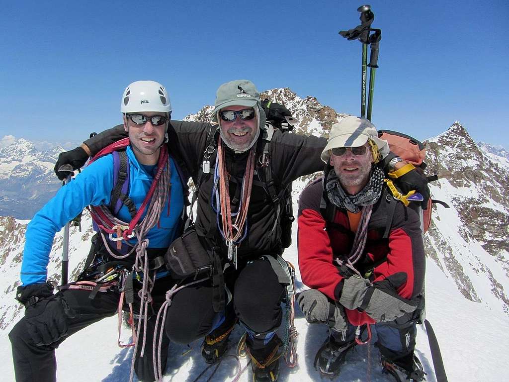
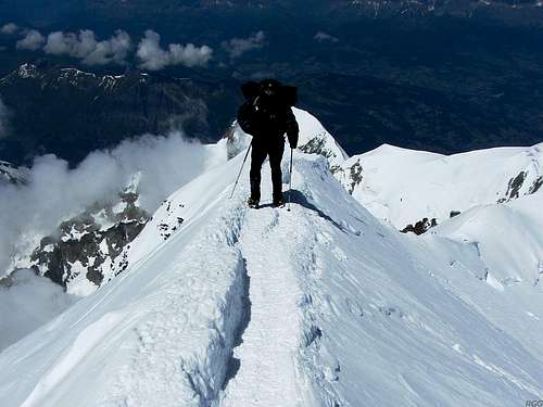
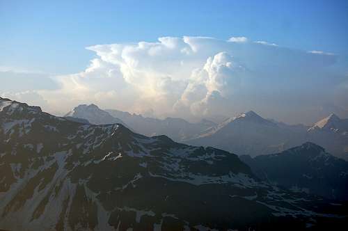
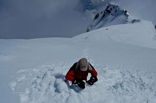
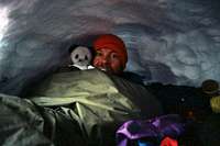


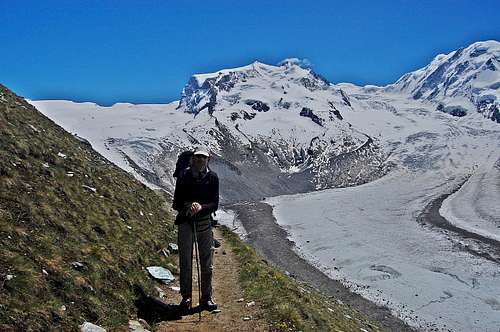
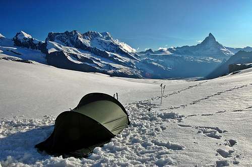
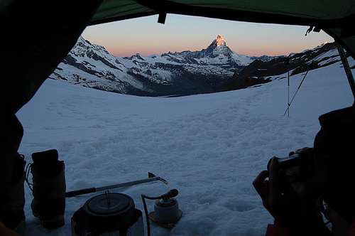
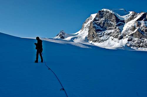
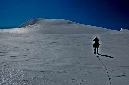
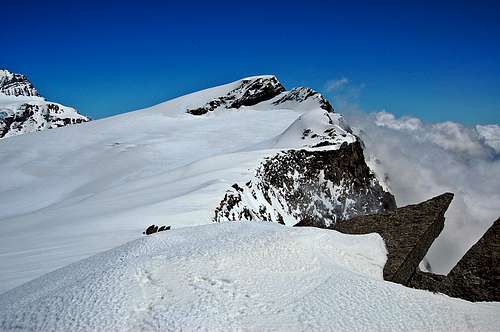
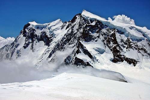
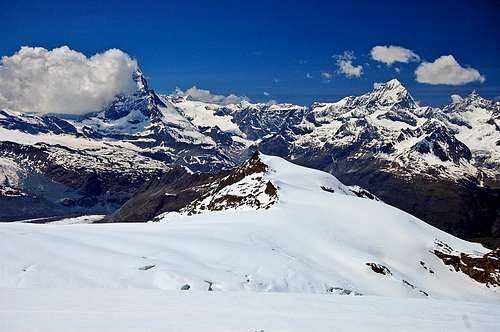

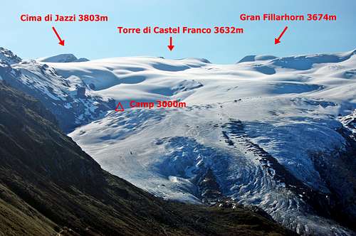

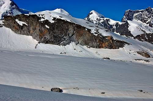
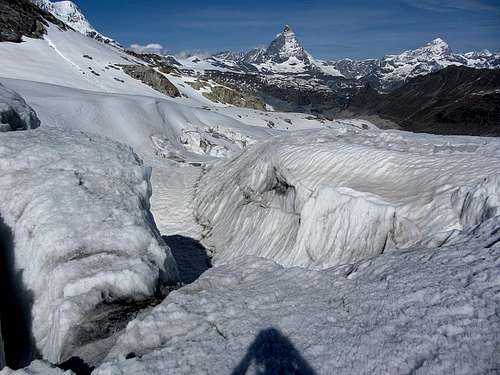
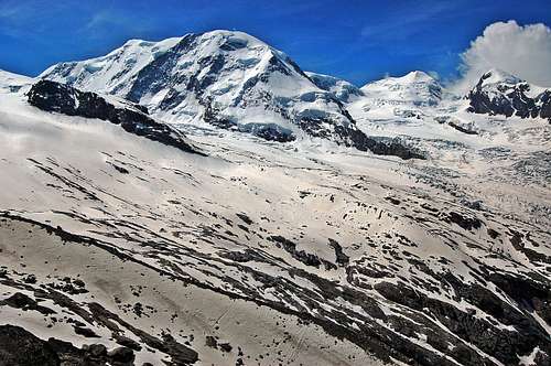
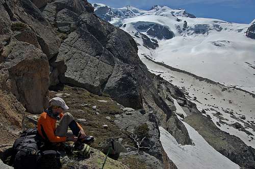
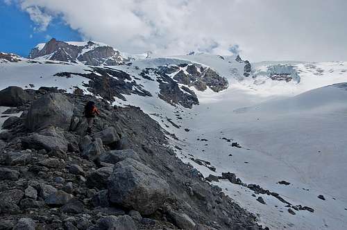
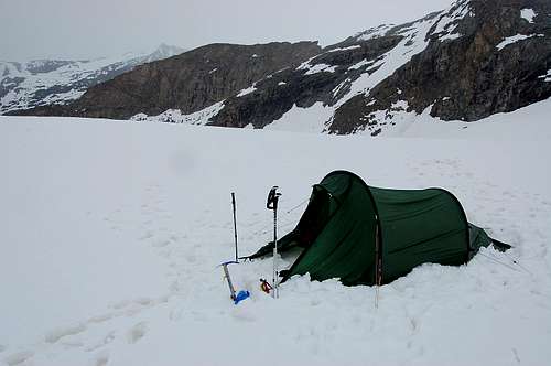


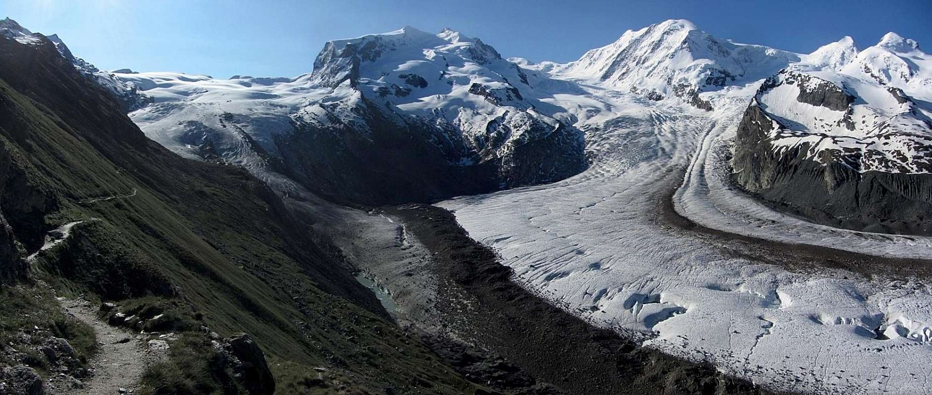
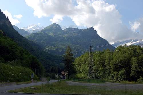
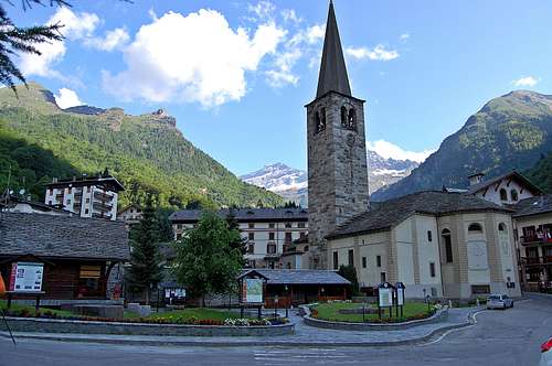
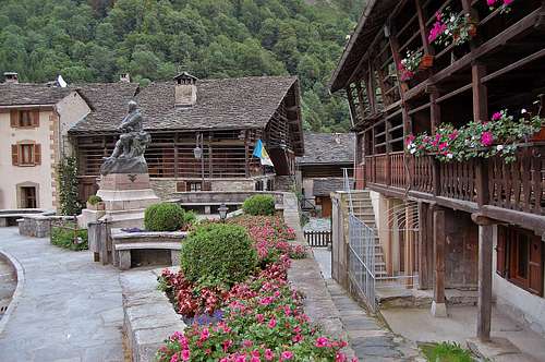
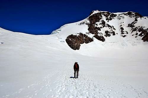
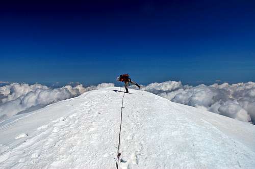
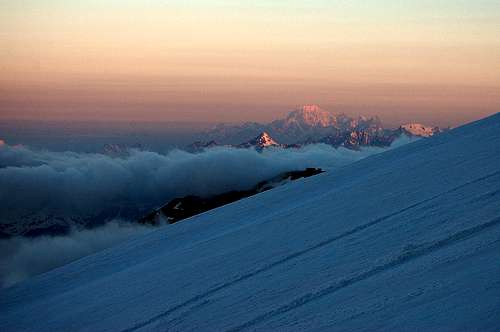
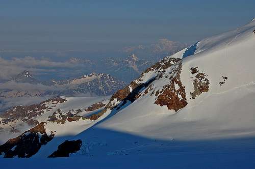


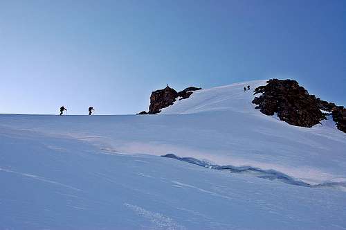
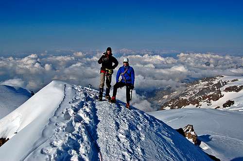
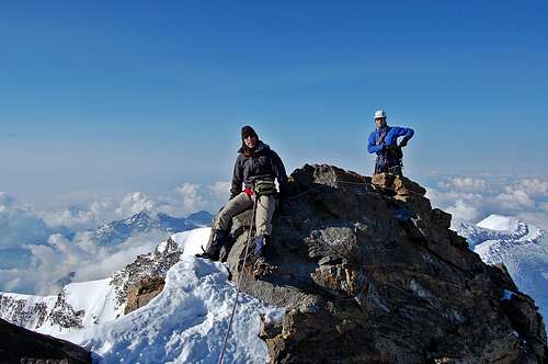
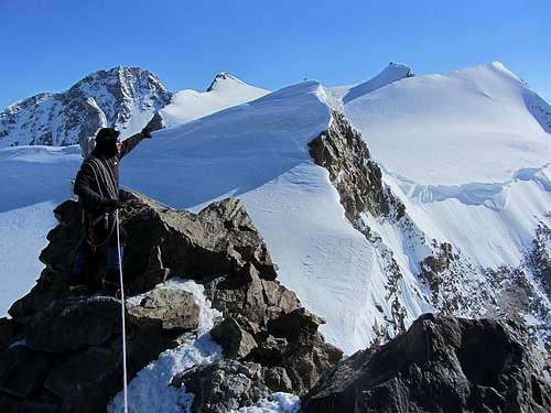


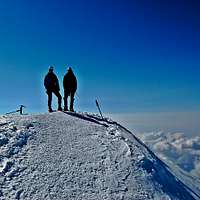
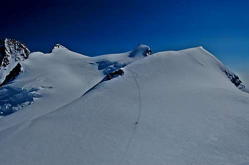
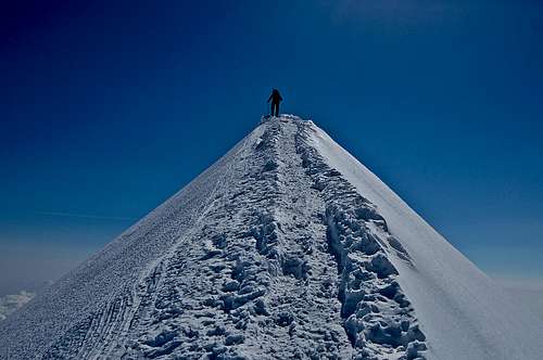
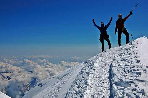
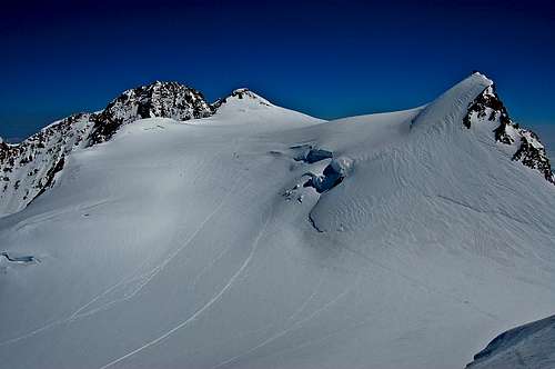
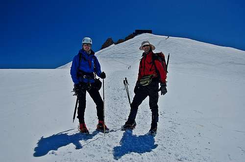
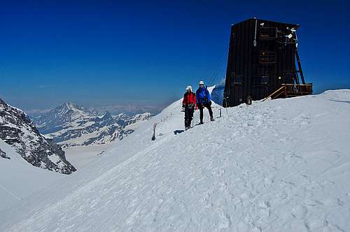
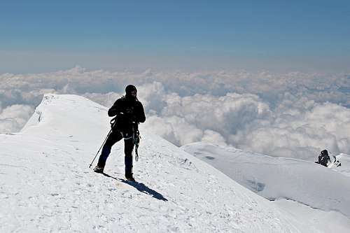
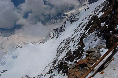


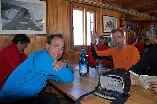
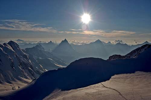
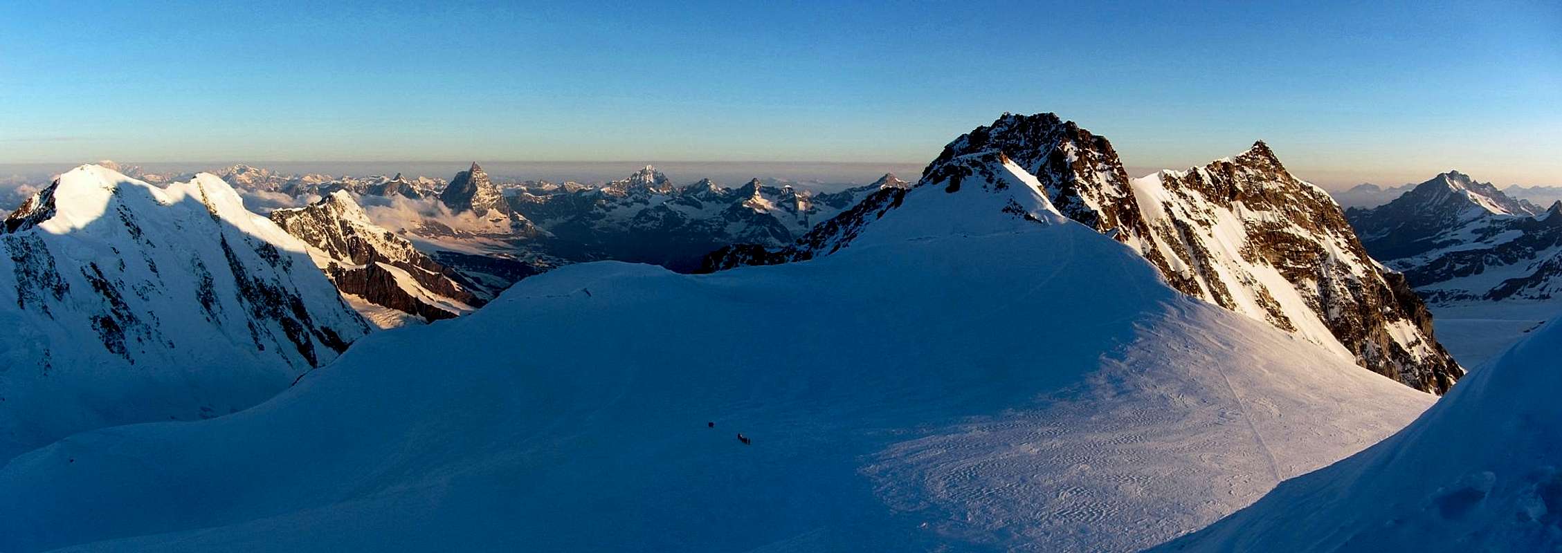

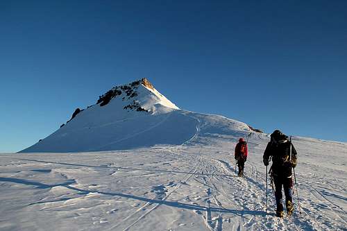
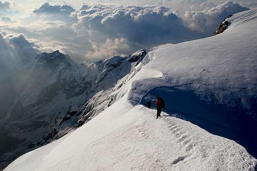

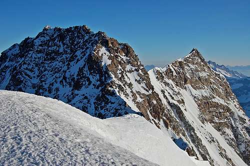
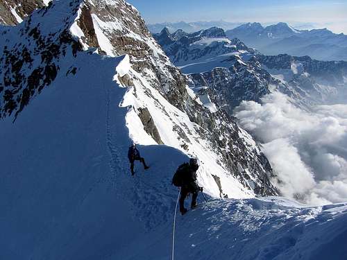
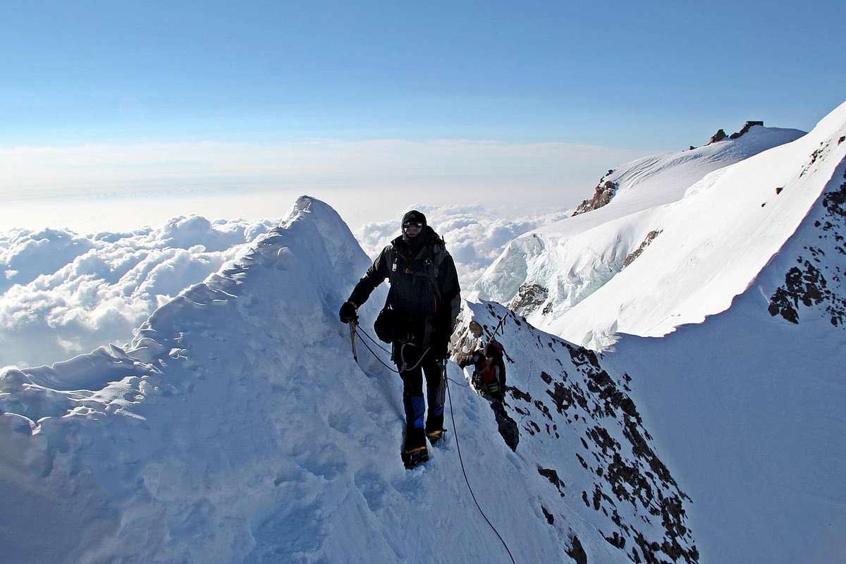
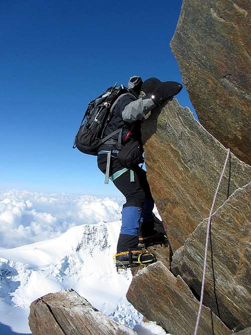
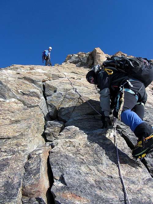
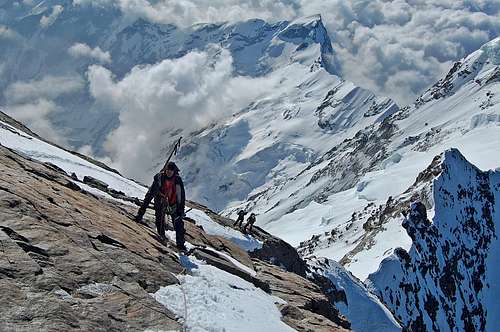
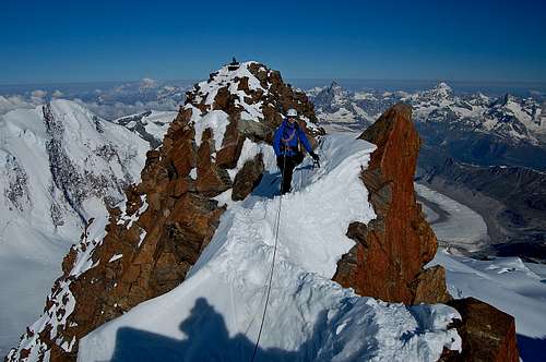
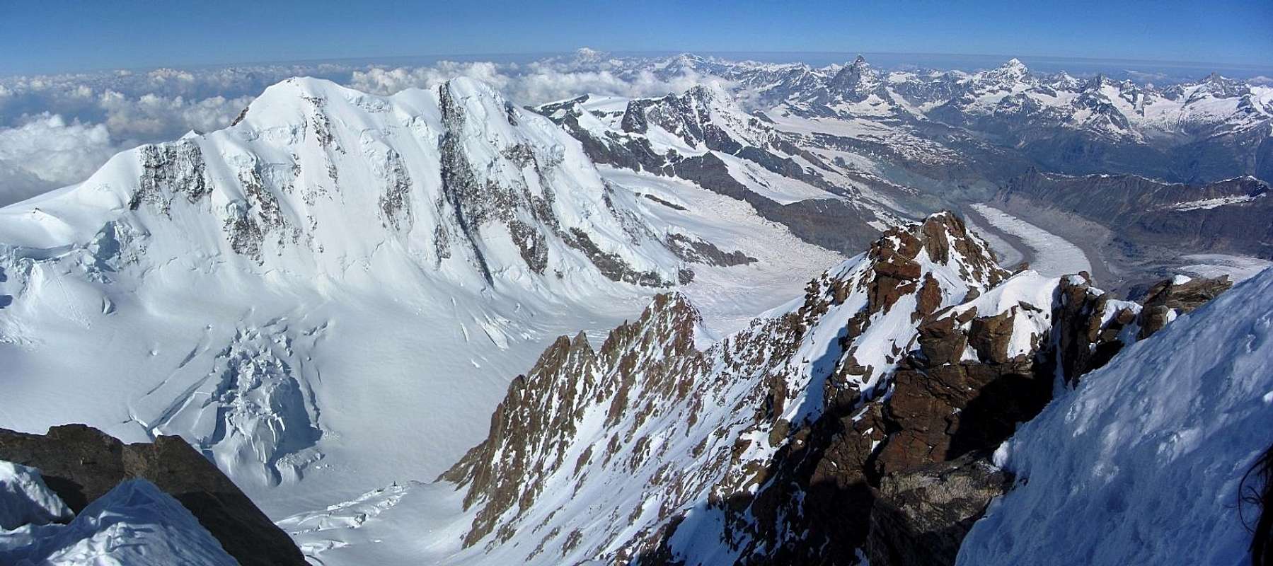


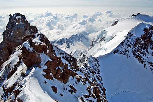
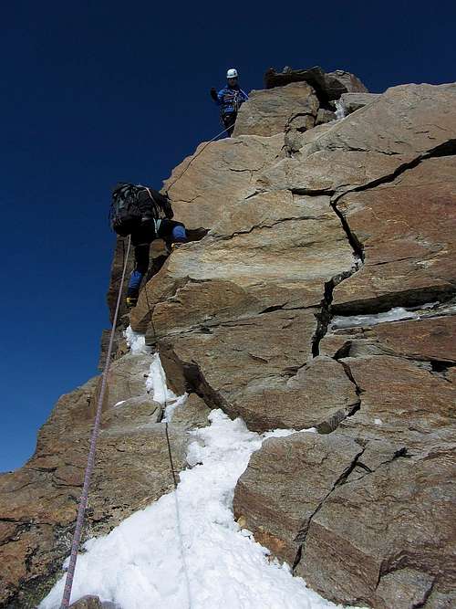
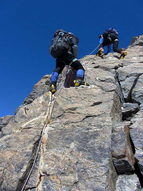
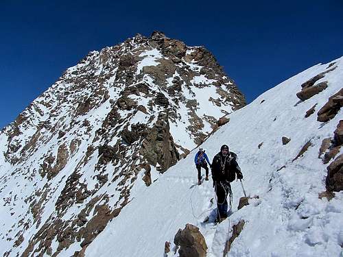
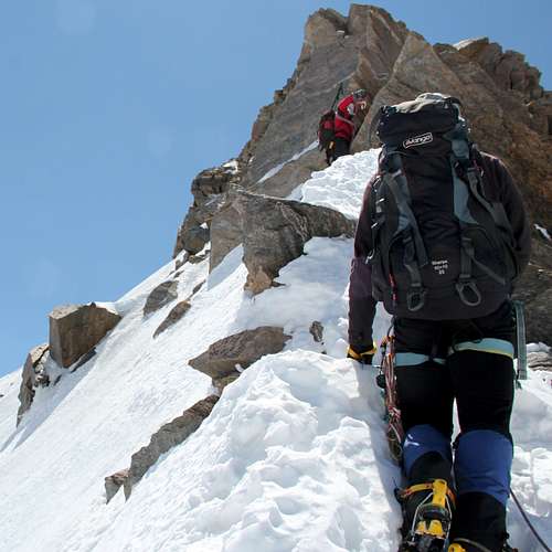
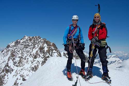


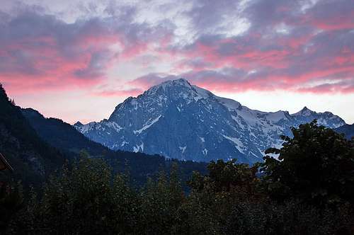
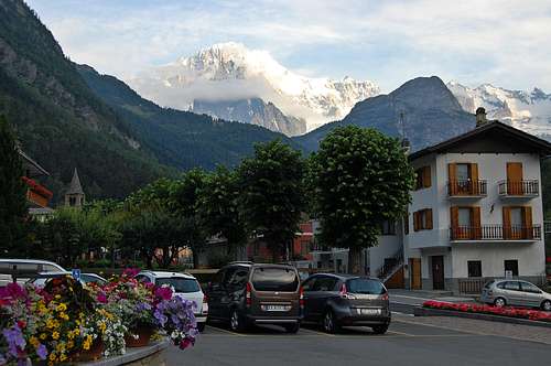
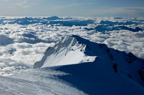

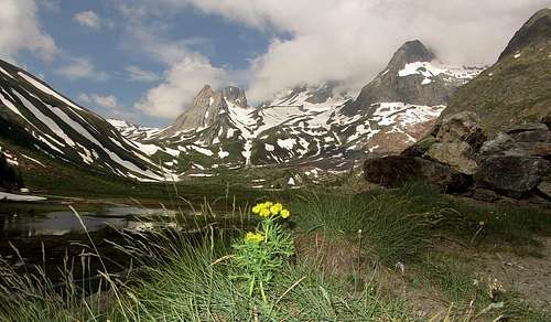
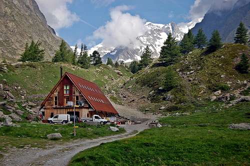
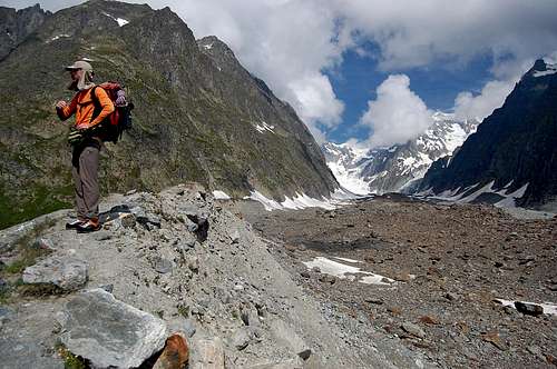
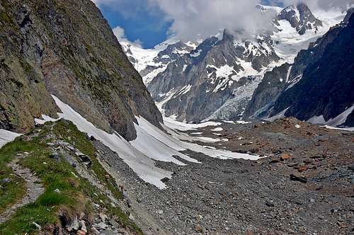
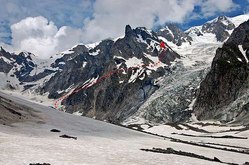
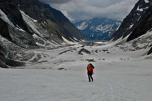
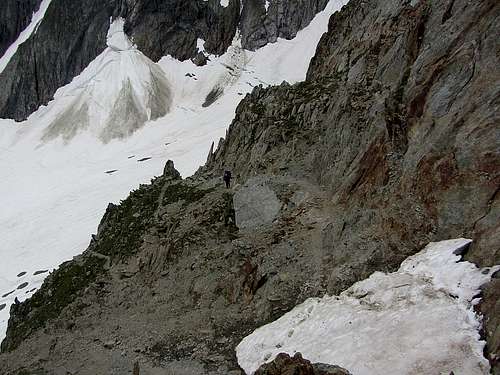
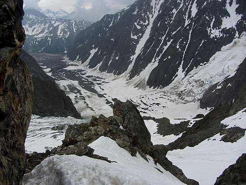
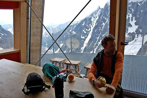
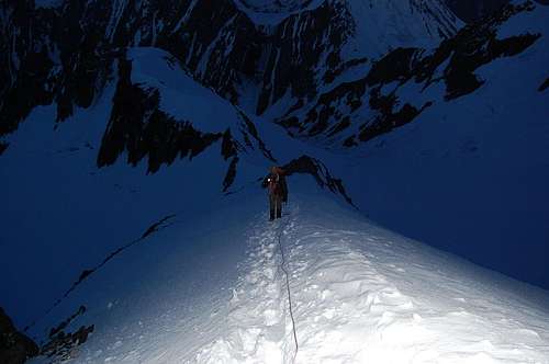
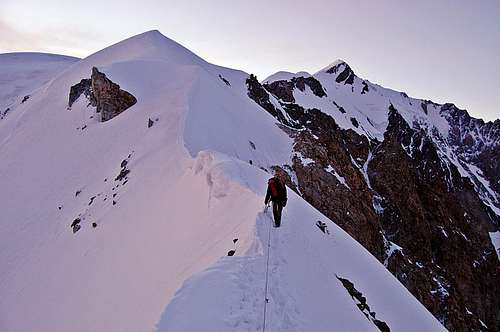
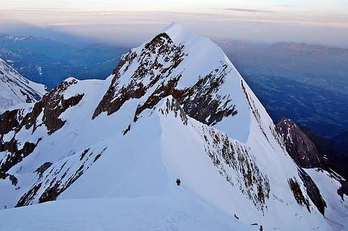
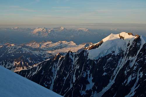
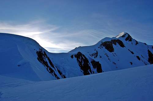
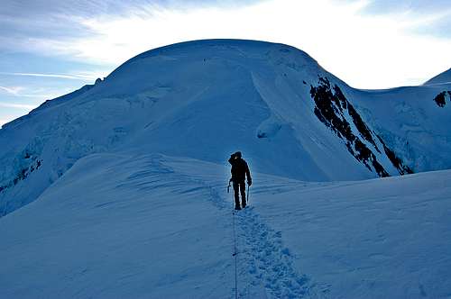
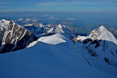
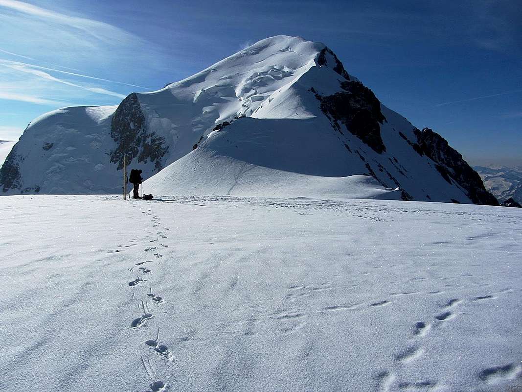
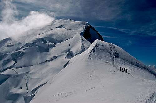
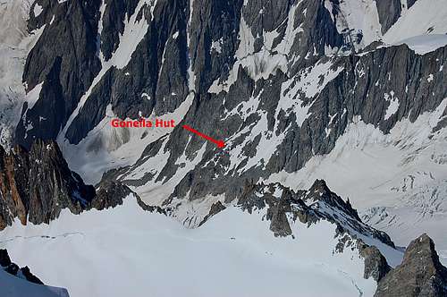
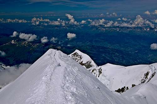
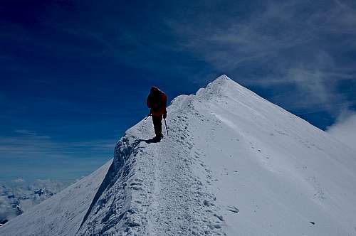
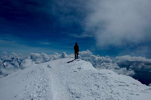
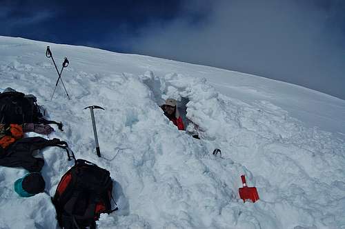
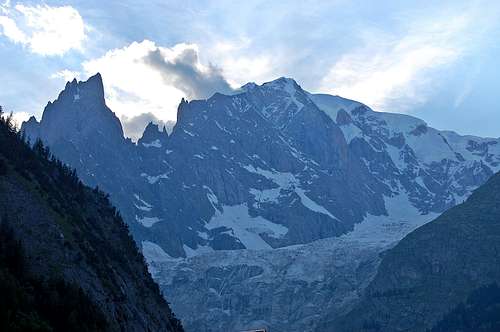

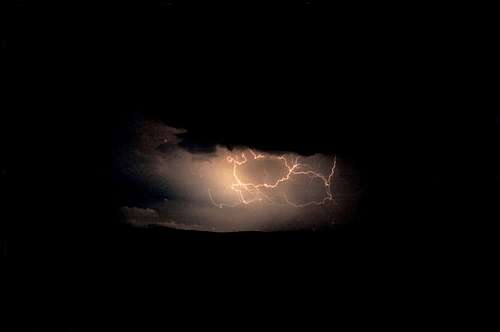
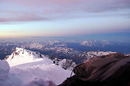
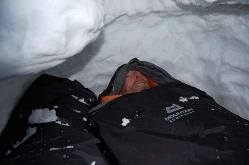
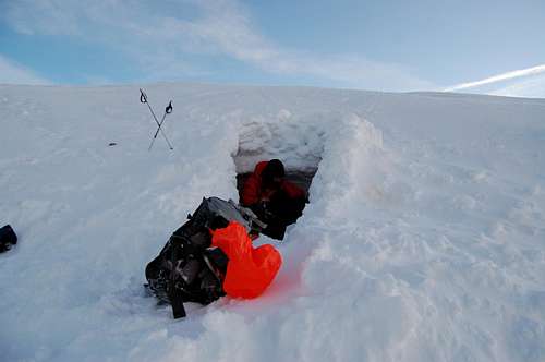
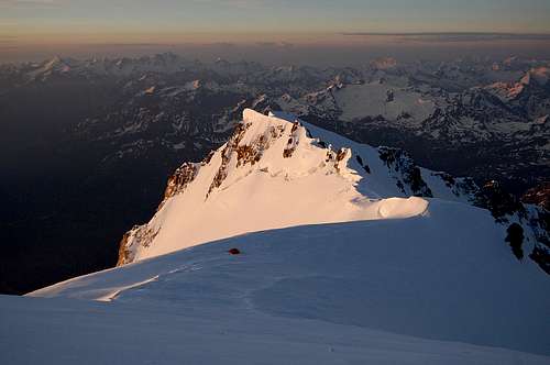
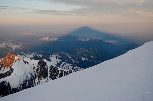
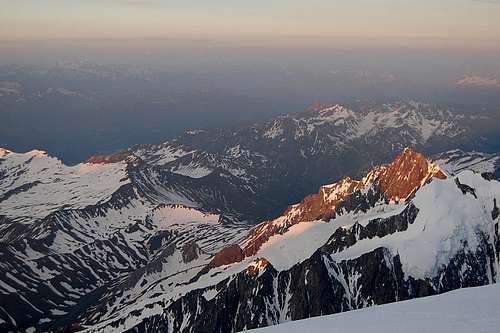
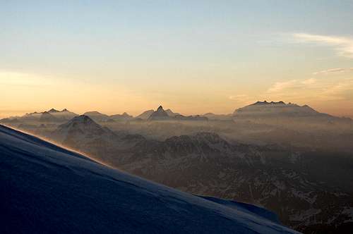
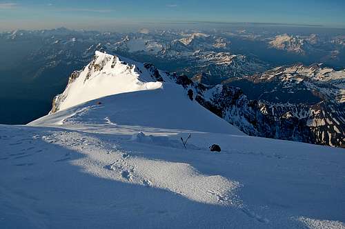
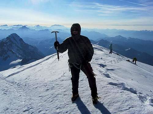
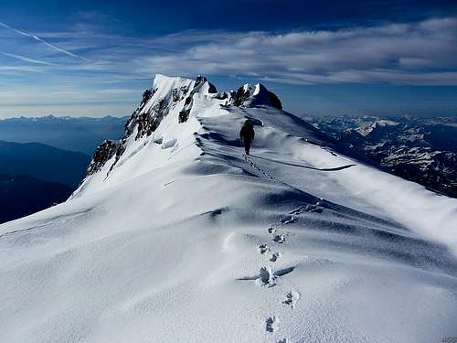
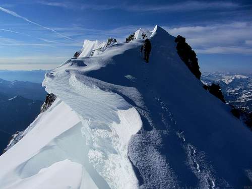
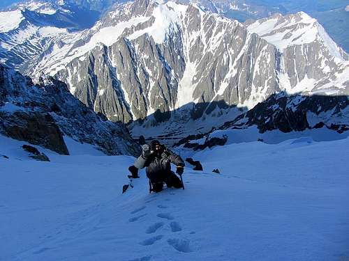
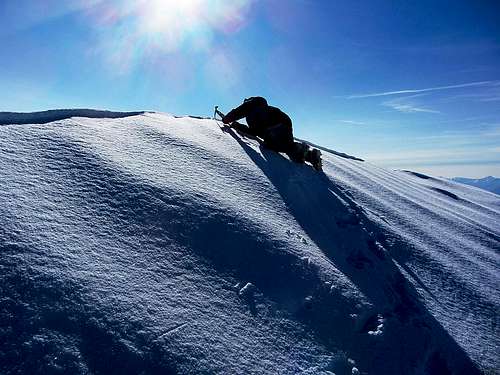
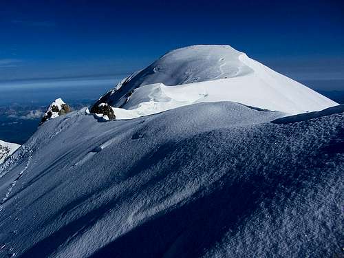
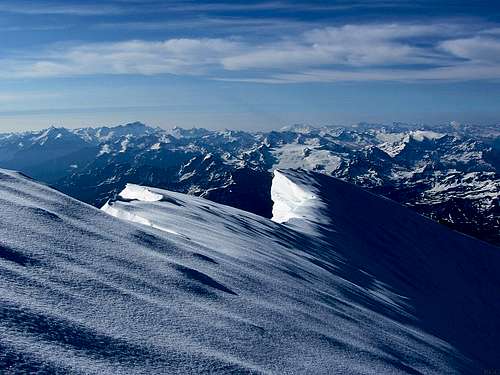
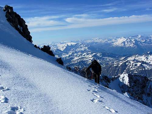
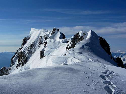

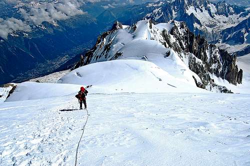
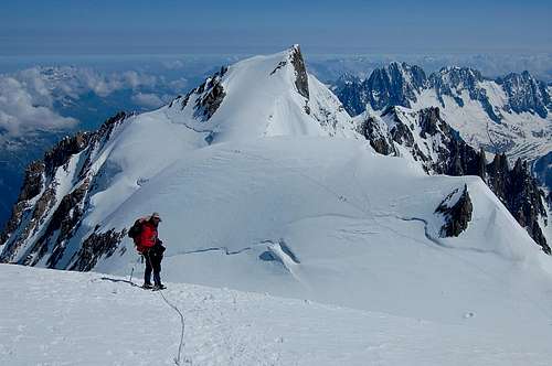
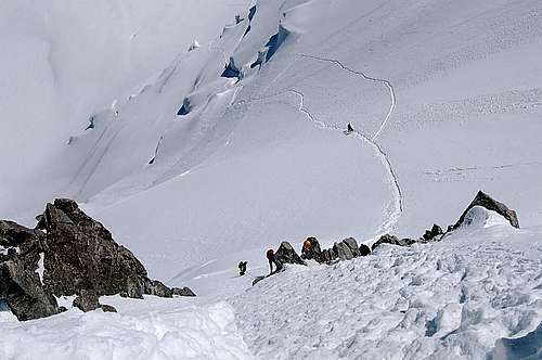
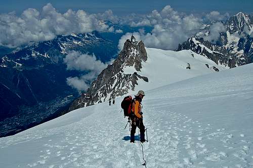

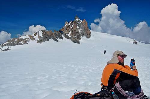
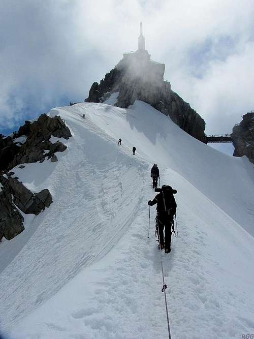


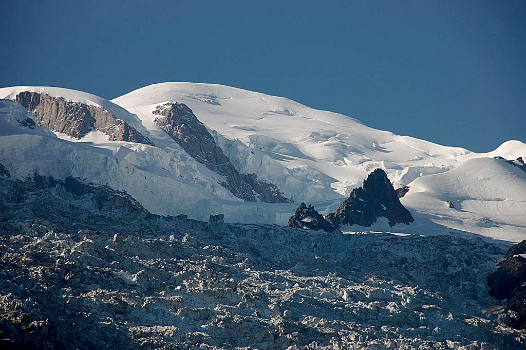


Comments
Post a Comment