|
|
Mountain/Rock |
|---|---|
|
|
45.82119°N / 10.78746°E |
|
|
Lombardia |
|
|
Hiking |
|
|
Spring, Fall, Winter |
|
|
3809 ft / 1161 m |
|
|
Overview
Cima Mughera 1161 m
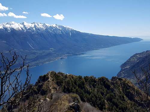
Not to be confused with the namesake mountain located near Monte Zenone, Cima Mughera as its neighbor belongs to the Prealpi Bresciane e Gardesane. It's a summit dominating from above the village of Limone del Garda as a sensational belvedere. If viewed from the North and the West, Cima Mughera is not very flashy and looks like a modest relief, on the contrary if seen from the Garda Lake it appears as a mighty pyramid of limestone rock alternated with vegetation and overlooking the lake. The view over the lake and Monte Baldo right in front, as well as over many other peaks, is wonderful and impressive and for this reason Cima Mughera is a rather sought destination.
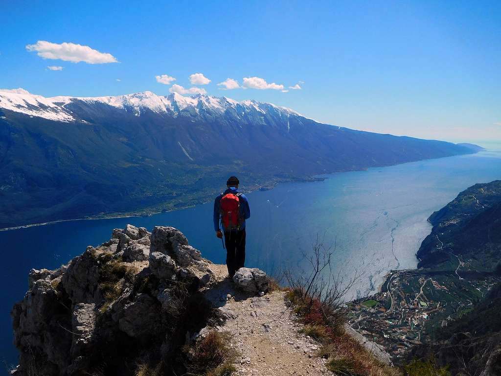
The ascent is a simple walk practicable throughout the year but particularly suited to the mid-seasons thanks to its low altitude and the mild climate linked to the proximity of the Garda Lake. Also winter is a great time to climb up, although sometimes snow can for short periods cover the summit sector. The ascent to Cima Mughera by type and landscape is similar although longer to that one leading to Punta dei Larici. The name "Mughera" derives from the small mountain pine - named "mugo" - present on the mountain.
Getting There
There are two main routes to summit Cima Mughera: from Pregasina or from Limone del Garda. The shortest ascent and with less difference in level is the one starting from Pregasina.
Road access to Pregasina: from the Brennero autoroute exit Rovereto Sud and take the road to Arco and Riva del Garda. From Riva del Garda follow the road to Val di Ledro, which is reached through two long tunnels. Immediately after the second one, you find on the left the narrow but paved road leading to the village of Pregasina 532 m.. Leave the car in the small parking lot below the church.
Road access to Limone del Garda: from Riva del Garda follow the Gardesana Occidentale to Limone del Garda.
Cima Mughera from Pregasina
Cima Mughera Normal route from Pregasina
Summit quote: 1161 m
Difficulty: E
Difference in level: 630 m from Pregasina
Exposition: East
Time required: 3,30 hours round trip
Starting point: Pregasina m 522
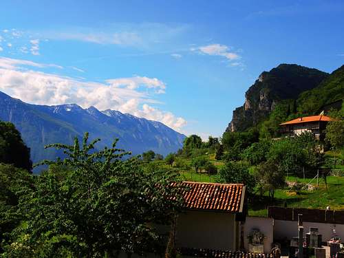
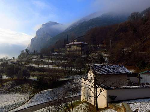
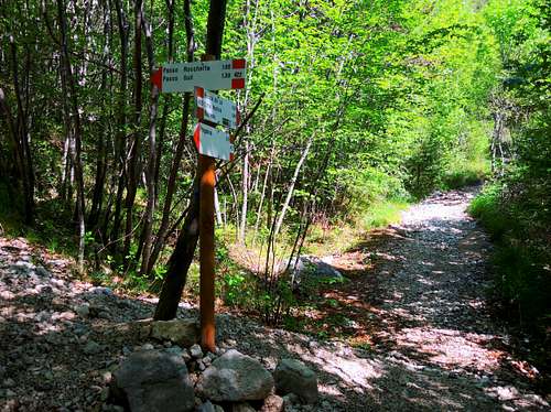
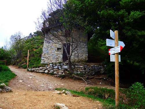
From the parking lot in Pregasina you will find the staircase leading to the church of St. George on the street above; from the curch take to the left the track towards Passo Larici, Malga Palaer and Passo Rocchetta (path n. 422B). The path soon starts inside the vegetation and after few minutes it reachs a crossroad. Ignore the concrete road on the right and proceed straightly, following the road entering the Val Palaer (mark 422 bis).
|
|
|
|
|
|
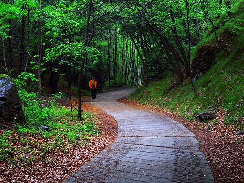
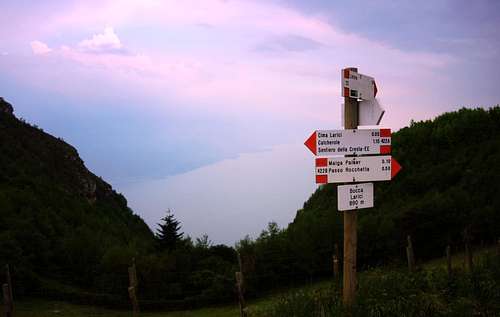
In the first stretch we can enjoy a superb view of Lago di Garda and the prospecting Monte Altissimo of Nago, then the track enters the woodland with moderate slope and concrete sections. Continue in the forest with the possibility of avoiding some road-bends thanks to short breezes of footpath on a moderate slope. Lastly, we keep the gravel road and immediately after the crossroad towards Malga Palaer we can reach the wide saddle of Passo Larici m 881 (1 hour from the start). Here it appears a superb view of Lago di Garda. The place-name "larici" - meaning “larches” is due to the presence of several big larch trees. From the saddle with a brief deviation to the left in only 5 minutes you can also reach the summit of Punta dei Larici. As our main destination, Cima Mughera, also Punta dei Larici is located in a breathtaking position over the lake: from the top the slope precipitates overhanging the underlying waters, consequently the view is unforgettable.
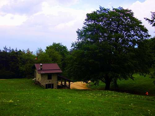
Whether or not you choose to make this very short detour, from Passo Larici take the track on the right. Continue to the right along the mainly horizontal track following the signpost to Malga Palaer and reaching the clearing where it's located the shelter in a wonderful position under Cima Al Bal and Cima Nara. Once reached Malga Palaer clearing turn Southward - to the left in your travel direction - following the path 422B, a variant that allows to reach by a quick ascent inside the wood the beautiful scenic spot of Passo Rocchetta 1159 m.
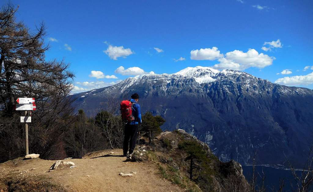
In the opposite direction of your arrival there is a characteristic rock pinnacle. At the base of this rocky spire of Passo Rocchetta there is an important well-marked crossroads. Ignore the highest path that crosses in the direction of Passo Guil and take the low path that after a short descent in hairpin bends, wide and well-marked, crosses mainly on level halfway up the Garda side. Soon the little rocky spur of Cima Mughera becomes visible, not very impressive from this perspective.
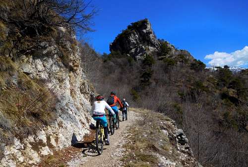
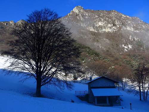
At the end ofthe crossing we reach a hill at a short distance from our goal. A few meters above us, on the right, there is a small wooden shelter, near the path 101 for Limone. We choose this last opportunity that leads in about ten minutes to the facing, now very close Cima Mughera. Therefore we abandon the wide mule track for the Baita Segala, descending on a narrow path disconnected from the underlying saddle. We go up the opposite ridge on an unstable detritus until we reach the peak of Cima Mughera (m 1191 - 2.40 am from the start).
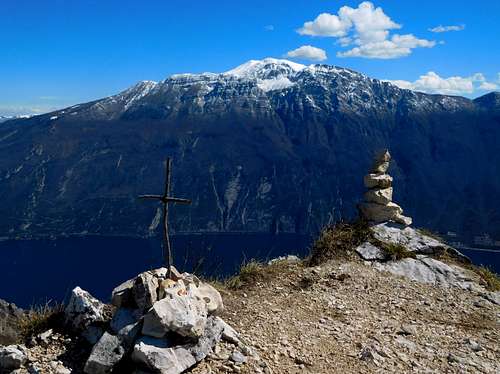
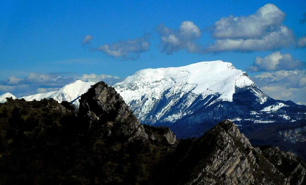
Like Punta Larici it is a panoramic position of great beauty. The view on the nearby Monte Altissimo di Nago appears of particular grandeur while the northern end of Garda is hidden by the rocks of the Passo della Rocchetta. To the west we are dominated by the majestic bulk of the nearby Monte Carone, grassy at the top but characterized by spiers and limestone walls in its south-facing side. Needless to remark the view of the underlying village of Limone. The return is done backwards and the whole excursion does not commit, between roundtrips, for more than 5 hours.
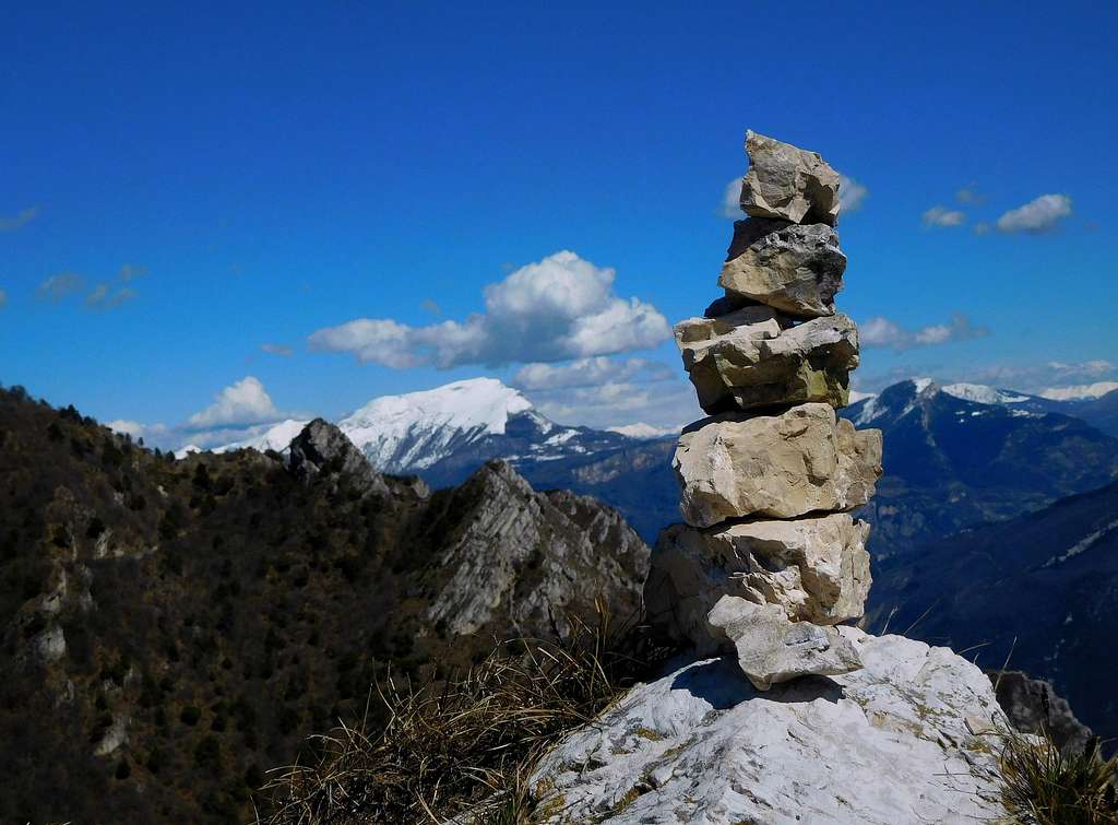
Descent: reversing the same route
Cima Mughera from Limone del Garda
Cima Mughera from Limone del Garda
Summit quote: 1161 m
Difficulty: E
Difference in level: 1061 m from Limone
Exposition: East
Time required: 5 hours round trip
Starting point: Limone del Garda 100 m
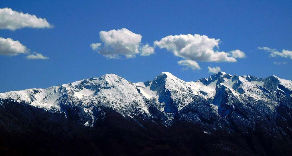
In Limone (about 100 meters above sea level), take the path 101, cross the bridge over the stream S. Giovanni near "La Milanese" and continue on the path 101 on a steep trail in the spectacular valley Singol. At a fork, turn to right to Passo Guil, Baita Segala and Cima Mughera (again on path n. 101). At a second fork below Cima Mughera turn to right, getting the summit of Cima Mughera.
Red Tape
No fees no permits required
When to Climb
Possible all year round. Anyhow best seasons are Spring, Autumn and Winter, in fact summer months may be very hot.
Accomodation
Different possibilities of accomodation in Limone and Riva del Garda, according with the chosen departure of the hike.
Bibliography
"Prealpi Bresciane" by Fausto Camerini - Collana Guide dei Monti d'Italia, CAI-TCI
Maps:
LAGIRALPINA sheet 016 - Alpi di Ledro - Tremalzo 1:25.000


