
|
|
Mountain/Rock |
|---|---|
|
|
Hiking |
|
|
Overview
[Note: August 2020. I adopted this page after it was orphaned by the original author. I have made no substantive changes to it - utahjimk]
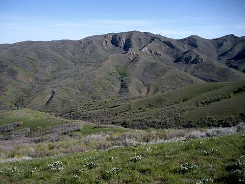
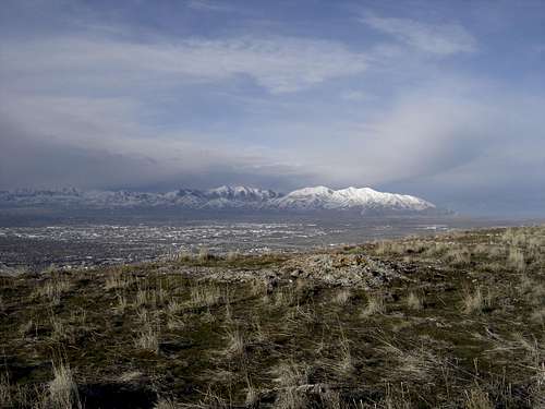
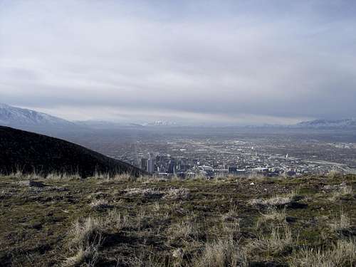
Dude Benchmark is a highpoint on a long ridge between Salt Lake City and the city of Bountiful. This prominent ridge divides Salt Lake and Davis Counties and is well known and visible everywhere. It is the backdrop for the downtown in many pictures. Because the west running ridgeline extends so far west from the main north/south Wasatch peaks, the views are spectacular. With the relatively low elevation, the hike can be done most of the year, with snowshoes required up higher. Although trails crisscross the area, to really experience the ridge, I'll describe the 5 mile, 2,500+ foot gain route below.
 Dude Benchmark from Little Black Mountain Trail
Getting There
Drive to the State Capitol Building. Take East Capitol Blvd. (on the east side) north into the residential area. Turn left on North Sandrun Drive (940 N). Go one block to a Y in the road at a church. Take the right fork (behind the church), to the trailhead in a block. The trailhead is one of the best signed trailheads in Utah with a huge sign saying Ensign Peak, you can’t miss it.
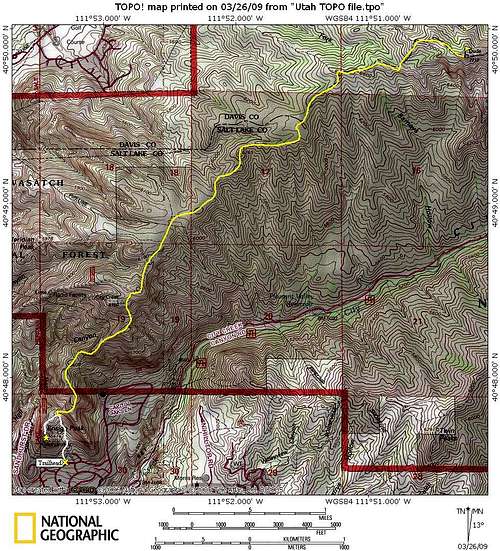 Dude Benchmark Map
Ensign Peak Route:
The Ensign Peak trail climbs 400 feet in a half mile to a ridge top, just feet below the summit of Ensign Peak. Left is Ensign, turn right following a smaller trail along the ridgeline. This trail will continually climb knoll after knoll bringing you higher and higher up the ridgeline. In a few places, roads appear from the north. You’ll always be on the right path if you keep the slope down to City Creek near. At 6,700 feet is a final 500 foot climb to the summit. Much of the way before the final climb is gently sloping and even one or two small sections of downhill. The top doesn’t offer much but big views and the experience of hiking this long ridge visible from Ogden to Draper.
Oquirrh Mountains
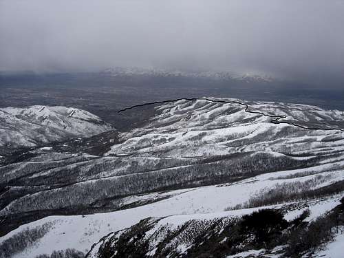
Looking south, Salt Lake Valley
City Creek Canyon
Starting up the ridge
Looking to the summit
Looking to the summit
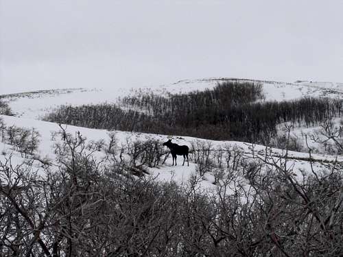
Moose on the trail
Looking north to Frances Peak area

Showing route up, upper section
Showing route up, lower section

Little Black Mountain

Grandview Peak