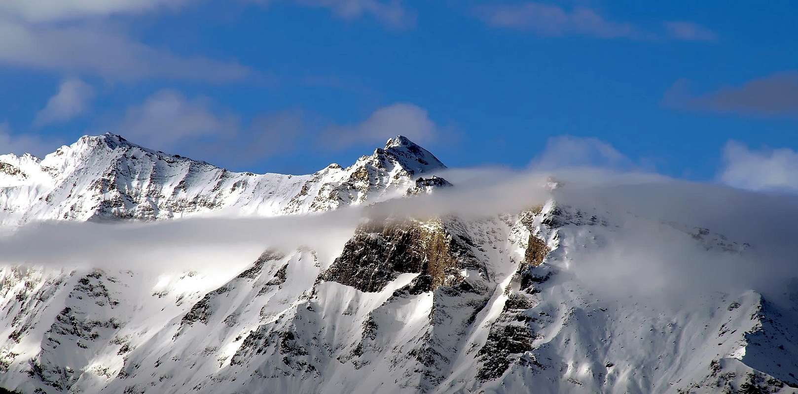
Squat and squared mountain belonging to the ridge descending from NNE from the Becca di Tos, rarely climbed due to the lenght of the approach. From its summit a fine view on the main mountains of Valle d'Aosta.
Montagna tozza e squadrata posta sulla continuazione della cresta N-NE della Becca di Tos; raramente salita, anche per la lunghezza degli avvicinamenti. Dalla vetta si gode un ottimo panorama su tutte le principali montagne della Valle d'Aosta.
First Ascents
First on the summit: Unknown.
In winter: Unknown.
N Arête (from Quota 2.974m): Osvaldo Cardellina, Luigi Gadin and Giuseppe Lamazzi, (Oct 13th, 1985).
Getting There
BY CAR:
From Torino, Milano, etc: Motorway A5. Exit at Aosta Ovest.
From Switzerland: through the Grand Saint Bernard Tunnel or the namesake Pass.
From France: through the Mont Blanc Tunnel or Petit Saint Bernard Pass: It is not necessary to take Motorway A5: you can drive on SS.26, in the direction of Leverogne.
BY PLANE:
Aeroporto "Corrado Gex" Saint Christophe (Aosta).
Itinerary
From Aosta (583m) follow along the SS26 (Mont Blanc Road) and once near Leverogne (780m), turn on the left, entering the Regional Road of Valgrisenche. After the small Villages of Rochefort and La Ravoire you arrive in Chamençon where you have to turn on the left toward the small Village of Chamin (1.399m) where you can park your car.
Dalla Città di Aosta (583 m) si percorre la Strada Statale n°26 per il Monte Bianco e, giunti nei pressi dell'abitato di Leverogne (780 m), si imbocca sulla sinistra la Strada Regionale per la Valgrisenche; dopo aver superato le Frazioni di: Rochefort, La Ravoire e raggiunto Chamençon voltare a sinistra verso il Villaggio di Chamin (1.399 m).
Route
From Chamin, along the mule track to the Provence (1.839m) e Borègne (2.000m) Pastures (about 40 minutes). The path starts S-SE of the last alpine building wherefrom you must go toward the stream coming down from the Verconey Lake (2.812m) that, at the end of summer can be totally dry. Along steep moraines up to a plan and, along tracks, to the Quota 2.954m. Here go down along the S ridge to the notch (2.918m), turning to the west, on white rocks, the last step. Debris and some easy rocks (short passages of I° along the N ridge up to the summit (3h'30/4h'00' from Chamin).
Da Chamin, dove inizia la mulattiera per gli Alpeggi di Provence (1.839 m) e Borègne (2.000 m), raggiungibili in circa 0h'40. Il sentiero inizia a S-SE dell'ultima baita dove si prosegue verso il torrente che proviene dal Lago di Verconey (2.812 m), il cui letto ad inizio autunno può essere asciutto. Per ripide morene si raggiunge un pianoro dal quale su tracce di sentiero si tocca la Quota 2.954 m; da questo punto scendere sulla cresta Sud al colletto (2.918 m), aggirando l'ultimo salto ad ovest su rocce e fasce biancastre. Per sfasciumi e qualche breve passo di (I°) della cresta Nord si raggiunge la cima (3h'30/4h'00 da Chamin).
Difficulties
For Experienced Hikers, EE/F+.
Escursionisti Esperti EE/F+.
Equipment
Standard mountaineering equipment.
Campings
Remember that free camping is forbidden (except for emergency reasons, over 2.500m, from darkness until dawn).
Mountain Condition
You can get meteo information at the official site of the Regione Valle d'Aosta:
Parents refers to a larger category under which an object falls. For example, theAconcagua mountain page has the 'Aconcagua Group' and the 'Seven Summits' asparents and is a parent itself to many routes, photos, and Trip Reports.

 7245 Hits
 83.69% Score
 17 Votes