-
 17935 Hits
-
 83.69% Score
-
 17 Votes
|
|
Mountain/Rock |
|---|---|
|
|
44.72760°N / 107.7571°W |
|
|
Big Horn |
|
|
Hiking, Scrambling |
|
|
Summer, Fall |
|
|
10162 ft / 3097 m |
|
|
Overview
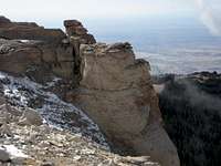
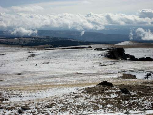
Hunt Mountain is the highest peak in the northern half of the Big Horn Range in Wyoming, rising to 10,162 feet and ranking 177th on the Wyoming prominence list at 1,142 feet. The east side of the mountain rolls gently away from the top, while dolomite cliffs make up the steep western face that overlooks the Big Horn Basin. There is a secondary summit about 3/4 mile south of the highest point that reaches 10,015; both summits are fairly easy to reach due to the fact that the Hunt Mountain Road passes within a mile of each. Hunt Mountain is about 35 miles northwest of Cloud Peak, so the views of the Wilderness on a clear day should be very nice. Other prominent summits visible from here at distances of about 100 miles include the Washakie Needles, Francs Peak, Carter Mountain, Ptarmigan Mountain, Trout Peak, and Granite Peak in Montana.
Getting There
From Lovell, Wyoming, take U.S. Highway 14A heading east for about 31 miles and turn right on Road 10, which is clearly marked as Hunt Mountain Road. To approach from Sheridan, Wyoming, follow Highway 14 to Burgess Junction, turn right on Highway 14A, and travel for 13 miles. The Hunt Mountain Road is pretty good and doesn't need 4WD unless it is really muddy or there is a lot of snow; travel for 3 miles and park on the side of the road.
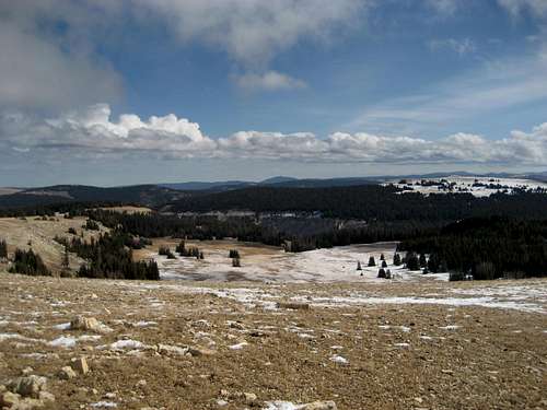
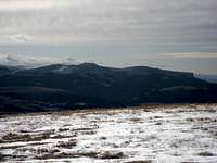
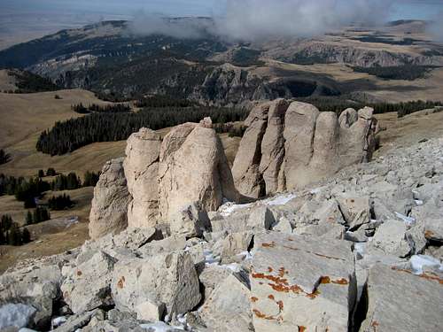
From here, make your way west towards the summit, descending slightly into a valley before starting up again in the direction of the prominent rock formations. The highest summit is the northern one; it is not readily apparent from below where the summit is, so make sure you've studied the topo map before heading out. The summit is marked by a gigantic rock cairn and a pole in the ground. I looked for a USGS marker but didn't see one, possibly because there was a bit of snow of the ground when I was there. If you scramble down the rocks just west of the summit, there are some really good views to be had by looking straight down into the valley below. If you look due east, you can see Black Mountain very clearly. This a really fun summit for the relative shortness of the hike involved to reach it, and I would highly recommend it to anyone in the area. A longer, more serious scramble would be possible from the west, and there are places that might make for some interesting climbing.
Reaching the top of Hunt Mountain involves an easy Class 2 hike for a little less than a mile each way, and takes about one hour for a round trip.
Red Tape
Access to this area is very easy except during the winter and early spring, when Highway 14A is closed. This area has an abundance of wildlife, so be especially aware of moose, elk, black bears, and mountain lions when hiking in this area. There are no grizzlies in the Big Horns.
Camping
Places to camp in the Big Horns are numerous, with the majority of the range being open to dispersed camping. Camping is not allowed within 100 feet of lakes or streams, or within 1/4 mile of major roads. For complete rules and regulations, visit: http://www.fs.fed.us/r2/bighorn/recreation/camping/The closest campground is Bald Mountain Campground, which is located just south of Highway 14A on Road 130, eight miles west of the turnoff to Hunt Mountain Road.
External Links
Wyoming Peaks with over 1,000 feet of prominence:http://listsofjohn.com/Wyoming/Prominence/Pro1k.php


