
|
|
Area/Range |
|---|---|
|
|
22.49162°S / 44.8661°W |
|
|
Hiking, Mountaineering, Sport Climbing, Toprope, Bouldering, Mixed, Scrambling |
|
|
Spring, Summer, Fall, Winter |
|
|
9160 ft / 2792 m |
|
|

The area of the Itatiaia National Park is divided into two different environments. One is the Atlantic forest with numerous centenarian trees that keep hold of the lower part, and the other which characterizes for its mountainous topography with crags and peaks on its highest part.
Location: Between -22º19’S / -22º45’S and -44º15’ / -44º50’W.
The mountainous place is ideal for long and amusing hikes in the midst of landscapes of singular beauty. Altitudes vary between 700 and 2.792 metres.
It is considered the first national park in Brazil for the preliminary data concerning its creation goes back to the beginnings of the XX century. The Pico das Aguilhas Mountain, the fifth tallest of the country, is located in this natural reserve between the limits of Minas Gerais and Sao Paulo.
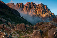
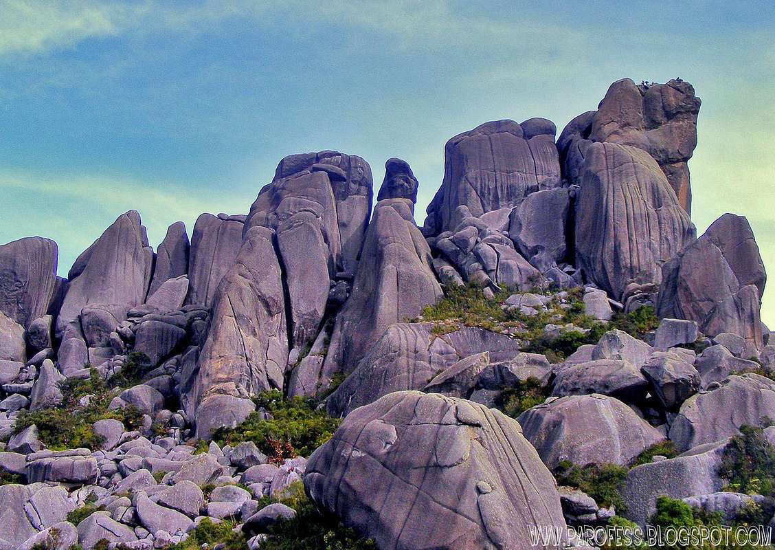
After a failed project the then Biological Station of Rio de Janeiro's Botanic Garden became a National Park in July of 1937, during the mandate of president Getulio Vargas, with an area of 12 thousand hectares. Its extension was enlarged to cover 30 thousand hectares in 1982. Itatiaia is one of the intrusive complexes of the Mantiqueira mountain chain which was formed about 70 million years ago, through alkaline magmatism in the northern segment of the Ribeira belt. The peaks of this syentitic 330 sqkm (31 x 12 km) rugged mountain massif represent the highest elevations in eastern South America. Itatiaia most probably originated beneath a huge alkaline volcano, which during the Cretaceous was comparable to present - day Mts Kenya and Kilimanjaro along the East African Rift. Over time, the volcanic cones eroded and only the plutons remained visible.
Flora and fauna
There are 163 cases of endemic flora species, from which 94 grow in the highest part of the massif. The bookish distinguish three great vegetation formations in the southern and northern regions and in the higher zones.
The most representative fauna group is that of insects. It is estimated there are 5 thousand species in the Itatiaia area, near 90 of which are exclusively from the higher region of the park.
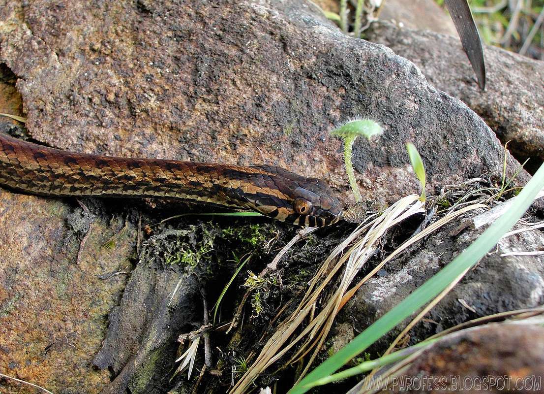
The lower region is richer in mammals, for the shrubs provide a better refuge for the mammals. The bird diversity include the black and white Humming birds, toucans, sparrow-hawks, pigeons and Peach-fronted Conure (Aratinga aurea aurea). The forests are mainly pristine rainforest, but there are also mature secondary forests. The bird diversity is higher in the lower part of the forest, but most of the specialities are found in the middle level. A remarkable area in the park is the high altitude forest where trees are quite low and covered in a multitude of epiphytes. In the treeless highland plateau, campo rupestris, the vegetation consists of low bushes, grass and bromeliads. Only a few birds live there, but, for example, the endemic Itatiaia Spinetail Oreophylax moreirae is quite common.
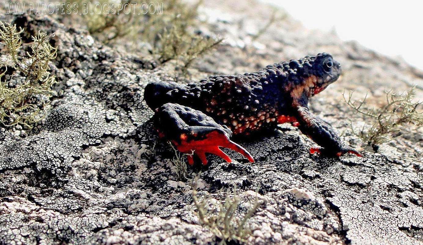
64 toad, frog and tree frog species are known in the park, 24 of which are distributed along the valleys, ponds and vegetation areas of the high plateau. The most notable is the Maldonado Redbelly Toad toad (Melanophryniscus moreirae) with a black back and a red belly.
Attractions
Beautiful Cascade: (Cachoeira Poranga) - Poranga means beauty in the Tupi language. The cascade is 10 metres high and has a 30 metre diameter natural pool ideal for swimming.
Blue Lake - A natural lake formed by the Campo Bello River. It is a safe place for a river bath.
Maromba's Natural Pool - You will gain vigour to continue the hike after a freezing bath in here.
Bride Cascade (Cachoeira Véu de Noiva) - A delicious view of the waters falling from a 40 metre height. It is one of the emblematic sights of the park.
Three Peaks - At 1662 metres of altitude, Three Peaks offers a marvellous view of the Paraiba Valley and the pre-cordilleran hills of the Sierra of Mantiqueira. The return trip can be crowned with a bath at the Bonito River's cascade.
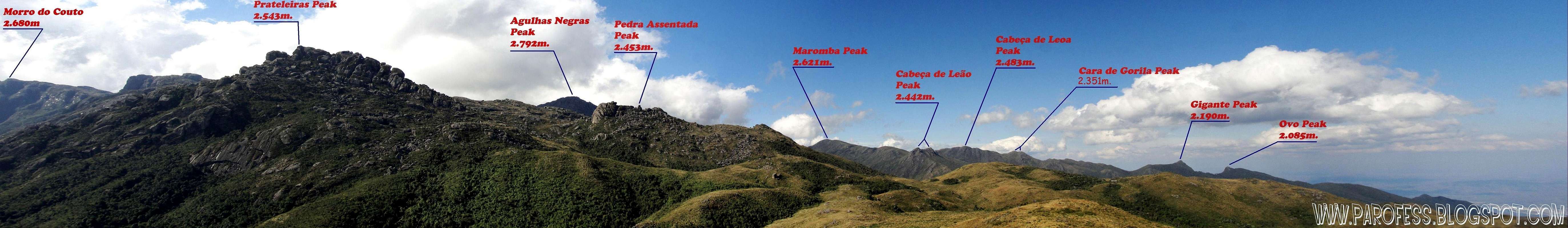
Massif of Prateleiras - At 2543 metres above sea level, it is formed by huge blocks of rock and offers a beautiful view of the Paraiba valley.
There's several summits inside the park, most of them at completely virgin woods and difficult access so they don't get many vsitors. I myself have been at 18 summits inside the park, but i know that there's plenty more, at least 35 summits total, altitudes from 1.692 to 2.792 m high.
Informational image
Some mountais of the park (click on the name to open the mountain page):
 Black Needles
 Couto Peak
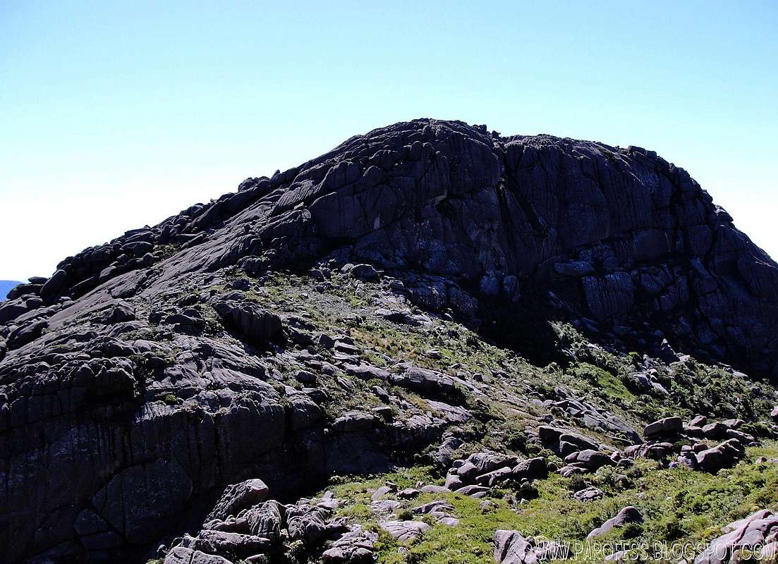 Bell Rock
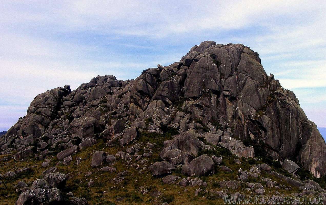 Pedra Assentada
 Pedra do Camelo
 Altar Rock
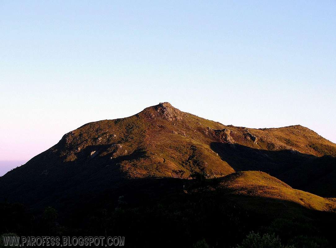 Pedra Furada
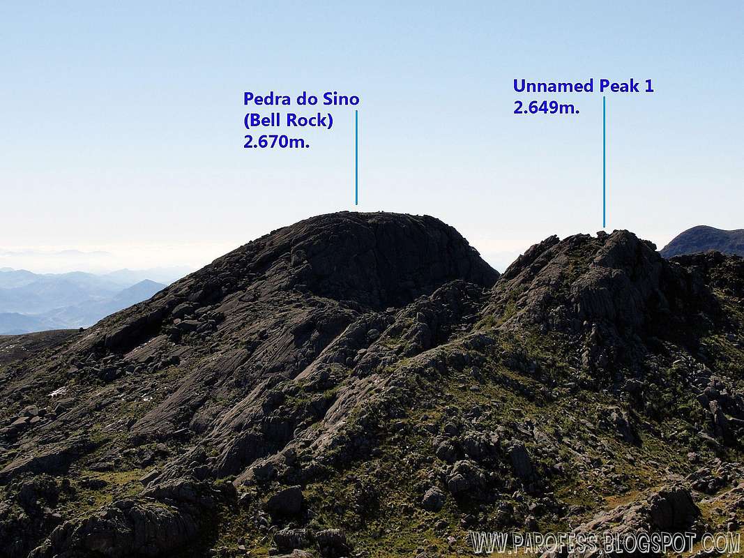 Unnamed Peak 1
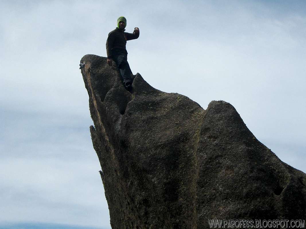
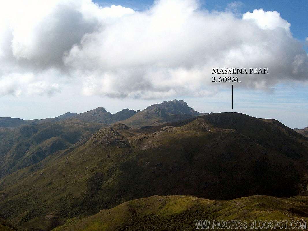 Massena Peak
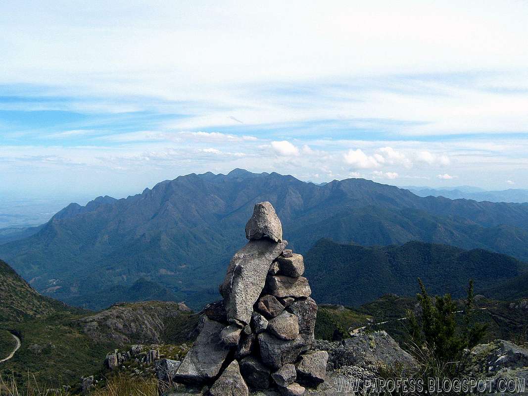 Massena Northwest
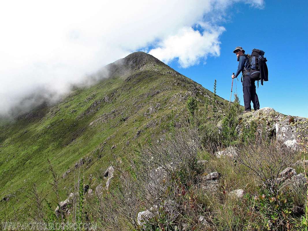 Maromba Peak
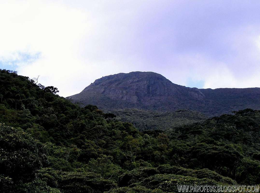 Serra Negra Peak
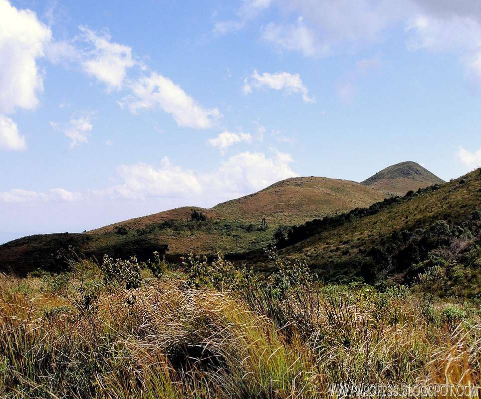 Urubu Peak
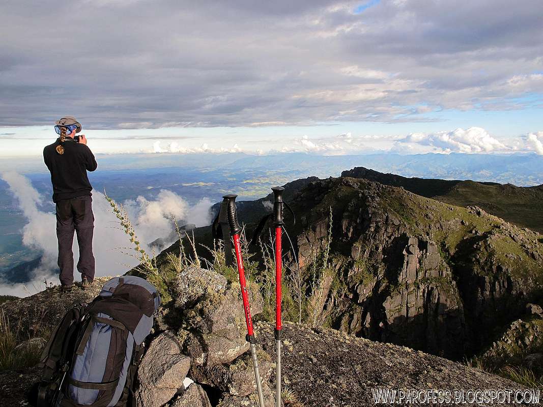 Cara de Gorila Peak
 Cabeça de Leão Peak
 Morro da Antena
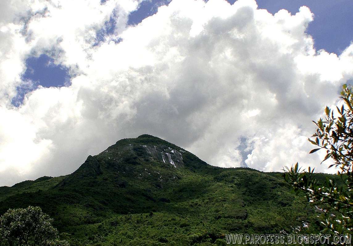 Marombinha Peak
 Little Altar
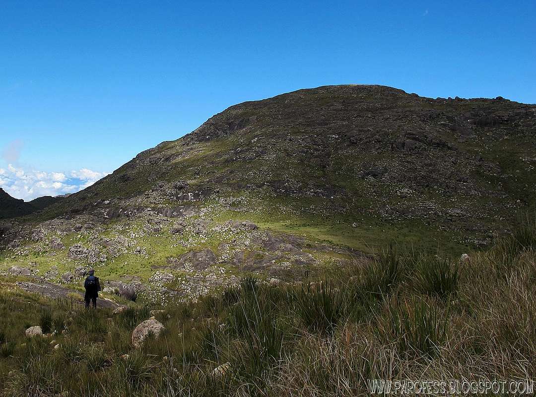 Cabeça de Leoa Peak
And other more summits without the register in the IBGE institution. Such as Altar Mirim, Unnamed peak 2, Serrilha dos Cristais and Morro da Antena. In time i'll make a page to each one of them, and update this page with the proper additional information and links.
Informational Images


How to get there
By busFrom Minais Gerais/ São Paulo/ Rio de Janeiro, you have to take a bus to a little city called Itanhandú. Several bus companies can take you there. Once you get to Itanhandú, take a nother bus from the same bus station to Itamonte, a smaller town at the bottom of the Sierra.
There is the point: Once you get to Itamonte, it is hard to find transport to the park entrance. But there's some taxi drivers that know the park and can take you up to the park, and that's gonna cost you around R$ 100,00 (about US$ 55.00).
From the main entrance, you have to register at the military office, than you're free to get into the park from 8am to 5pm. It is important to get out at the right time to avoid problems.
Acomodation
There is one hut working inside the park, this hut serves as a base for walks/ hikes/ climbs to the high part of Itatiaia National Park. The site provides support for visitors and it is used by researchers, mountain climbers and military training. The is calles Rbouças Hut (Abrigo Rebouças). To see the hut summitpost page, hit this:
Contact info:
E-mail for reservation: parnaitatiaia.rj@icmbio.gov.br
Phone number: 55 + 24 - 3352-1461/ 55 + 24 - 3352-7001
Hut capacity: 20 people.
Reservation: Obligatory (starting 30 days before the date of use)
To access the hut page at Summitpost, click at the link by the right side of this page.
Map of the area
Click here to download the map of the Itatiaia National Park: Map download (PDF)
Additional info - Symbol of the park
The Maldonada Redbelly Toad (Melanophryniscus moreirae) is a species of toad in the Bufonidae family. It is endemic to Brazil. Its natural habitats are subtropical or tropical high-altitude grassland, swamps, and intermittent freshwater marshes. His name here at Brazil is "Sapo Flamenguinho". It takes that name because of the brazilian football team Flamengo (it has the same colors: black and red.He was chosen to be symbol of the park. This frog lives only in this area. That´s why they don´t allow cars inside the Itatiaia National Park during the breeding season (between december and february).
Page about the little frog: IUCN RED LIST
VIDEO AREA
And many more videos on www.youtube.com/parofes
Legal Issues
To hike/ climb is a dangerous activity and requires proper equipment and clothing, the owner of this page cannot be blamed by injuries caused to anyone who read this page for its info about the mountain, and eventually got hurt by doing so with reckless behaviour or bad weather conditions.
Paulo Roberto Felipe Schmidt – AKA: PAROFES
External Links
My youtube channel: www.youtube.com/parofes - Now with 270+ videos online!The biggest brazilian website about climbing and mountaineering, for which I'm a columnist: