-
 22065 Hits
-
 96.51% Score
-
 60 Votes
|
|
Mountain/Rock |
|---|---|
|
|
43.16688°N / 109.65179°W |
|
|
Mountaineering |
|
|
Spring, Summer |
|
|
13502 ft / 4115 m |
|
|
Overview
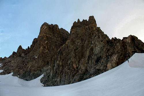
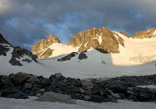
Mount Woodrow Wilson is a stately summit in Wyoming's rugged Wind River Range. Rising to 13,502 feet, it is the ninth highest peak in the state. Situated near the head of beautiful Titcomb Basin, it commands the attention of hikers for many miles. Despite being just 1.2 miles south of famous Gannett Peak, Wyoming's highpoint, Mount Woodrow Wilson is rarely climbed. Approaches require crossing crevassed glaciers and any ascent requires technical rock climbing and/or climbing on moderate snow and ice slopes.Mount Woodrow Wilson was named after President Woodrow Wilson by the first ascent party (Albert Bessine, Edgar Doll & Carol Thompson-Jones) several months after his death in 1924. Rumor has it that they counted approximately 14 points on the ridges extending from the peak and associated them with the 14 points Wilson had outlined in 1918 as a basis for ending World War I.
Approaches
Mount Woodrow Wilson can be climbed from Dinwoody Glacier or from Sphinx Glacier using one of the the following approaches, each of which take most parties two to three days to complete:1. Titcomb Basin – Probably the easiest way of approaching Mount Woodrow Wilson. OK if you're planning on climbing the peak from Dinwoody Glacier and ideal if you're planning on accessing the peak from Sphinx Glacier. A camp in upper Titcomb Basin makes a great starting point for climbs of the South and West Couloirs. See the Pole Creek Trail/Seneca Lake Trail/Indian Pass Trail route description for details.
2. Glacier Trail – The standard route for climbing Gannett Peak, Mount Woodrow Wilson's better known neighbor. Follow the Glacier Trail for 24 long but easy miles to the edge of Dinwoody Glacier where several good camping opportunities exist. Ideal if you're planning on accessing the peak from the Dinwoody Glacier side. See the Glacier Trail route description for more information.
Routes
Kelsey lists six routes on Mount Woodrow Wilson. See his guidebook for terse descriptions of each.North Couloir (easy 5th class)
West Couloir (5.2)
South Face (5.4 – 5.6)
South Couloir (5.1)
Northeast Tower (?)
Southeast Ridge (?)
I relay firsthand information about the South Couloir on the South Couloir route page. I inspected the West Couloir from its base in late July and it appeared to be a more serious snow and ice climb than the South Couloir. We were unprepared for such conditions (only had one axe apiece, aluminum crampons, a single picket) so we opted for the South Couloir route even though it was out of condition. I'd love to hear what you know about any of these routes!
Guidebooks
"Guide to the Wyoming Mountains and Wilderness Areas" by Bonney & Bonney (1965)"Climbing and Hiking in the Wind River Mountains" by Joe Kelsey (1994) NEW (3rd) EDITION DUE OUT 6/4/2013


