|
|
Mountain/Rock |
|---|---|
|
|
37.91770°N / 107.73805°W |
|
|
Ouray |
|
|
Mountaineering |
|
|
Summer |
|
|
13510 ft / 4118 m |
|
|
Overview
Not to be confused with the other nearby Peak 13510 ft.Note: This peak is officially unnamed.
Rank: Peak 13510 ft is Colorado’s 249th highest ranked peak.
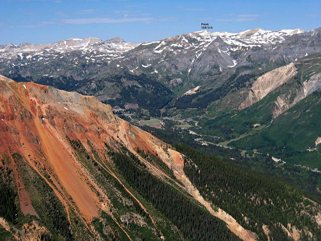
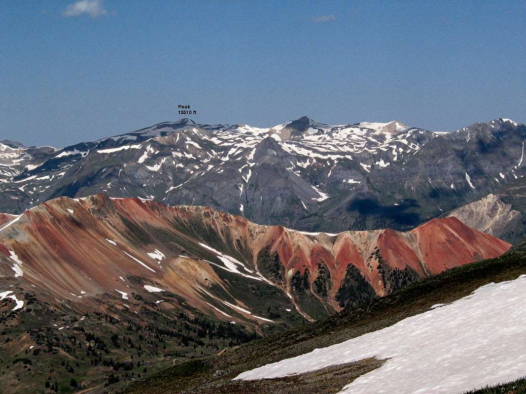
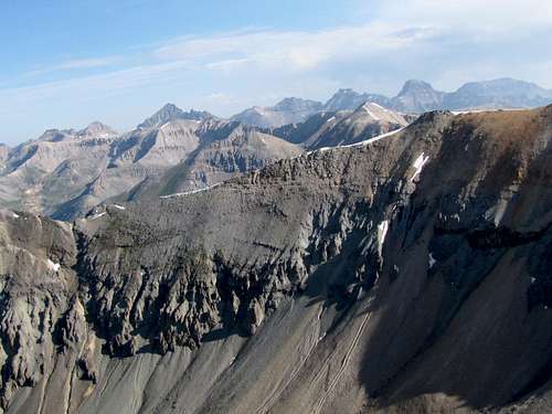
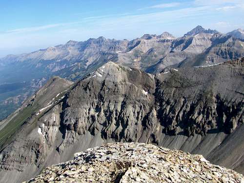
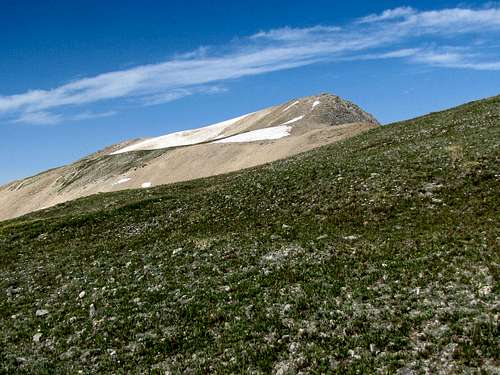
Northeastast face of Peak 13510 ft
Peak 13510 ft belongs to a long line of 13ers that rise to the west of Route 550 in the San Juan Mountains of southwestern Colorado between the towns of Ouray and Silverton. To the north, Peak 13510 ft is connected to the 13509 ft Telluride Peak and to the south, it connects to the 13321 ft Trico Peak. The eastern slopes of Peak 13510 ft are mostly grassy and go down to Route 550 just north of the 11018 ft Red Mountain Pass. To the west, steep scree/rocky slopes drop more than 1500 ft into Ingram Basin where the infamous Black Bear Pass Jeep Road runs.
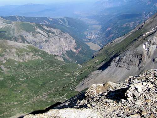
The 12939 ft Ptarmigan Lake sits to the northeast of Peak 13510 ft at the base of Telluride Peak. Many maps show trails that go from Route 550 to Ptarmigan Lake or Ingram Basin. If such trails ever existed, they have now likely faded away. You can, however, start at Red Mountain Pass and hike through the sparse forest and the grassy slopes to reach the summit of Peak 13510 ft. Please beware that Peak 13510 ft is not visible from Route 550 and will first come to view after hiking 1000 vertical feet above the road. Carry a map and be familiar with the topography of the area. From the summit of Peak 13510, the town of Telluride and some of its ski slopes will be visible to the west.
A much easier way to reach Peak 13510 ft is to drive the Imogene Pass Jeep Road to the 13114 ft Imogene Pass, hike to the top of Point 13365 ft and then Telluride Peak before reaching Peak 13510 ft. Such an approach will obviously involve much four wheel driving and less hiking.
East face of Peak 13510 ft
Getting There
Directions to Red Mountain Pass:From Ouray, drive 11 miles south (or 12 miles north of Silverton) on Route 550 to Red Mountain Pass. There are plenty of dirt pull-offs where you could park.
 West face of Peak 13510 ft as seen from the town of Telluride
Route, from Red Mountain Pass, no trail

Map
I did not see any trails in this area. This is the description of the route that I took.
All distances are per my GPS.
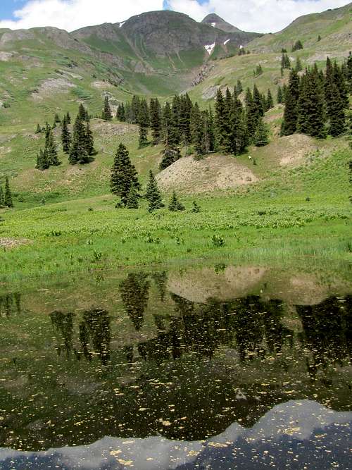
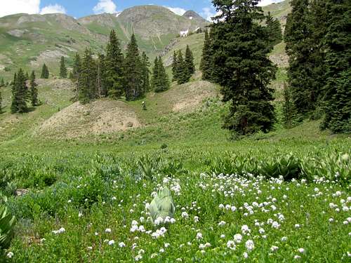
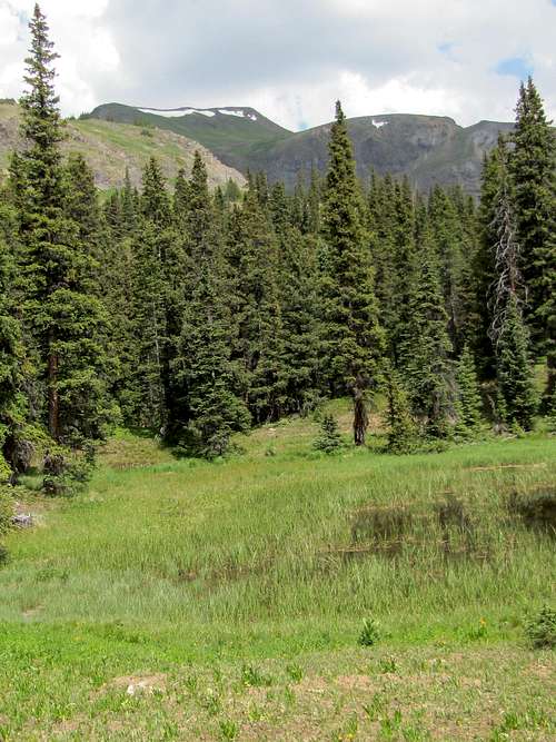
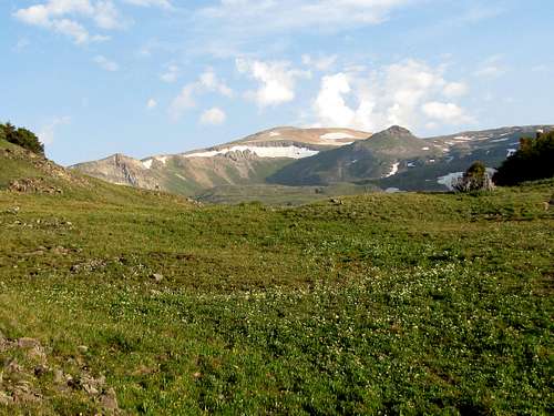
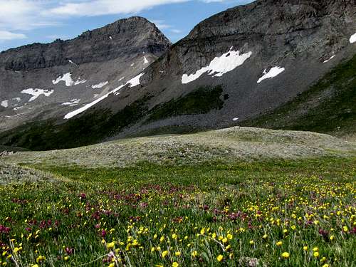
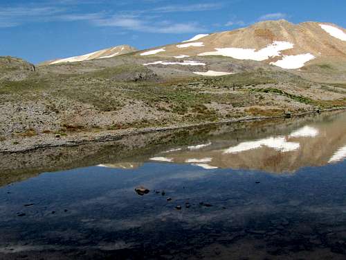
I went to the west side of Route 550. Near the “Red Mountain Pass” sign, I found a path that went into the forest. This path faded away after only a few hundred feet. The forest was thin. I headed west through the forest and over the meadows until I reached this pond.
What looked like a peak was visible to the west. This turned out to be not a peak but just a spot on the eastern ridgeline of Trico Peak.
East ridge of Trico Peak
Point 13268 ft was visible to the northeast. I knew this was not Peak 13510 ft but thought it could easily be confused.
Point 13268 ft
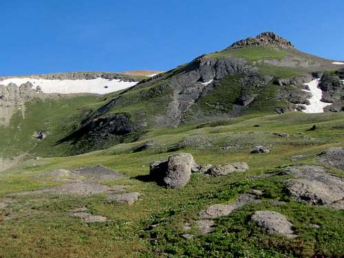
Continued up the grassy slopes.
 | |  | |  | |
Behind me, McMillan Peak & Red Mountain #3 were visible to the east.
 McMillan Peak | |  Red Mtn #3 | |
I then reached a very steep grassy slope. An abandoned mine and a faded old road could be seen. Went directly up the steep slope veering northeast.
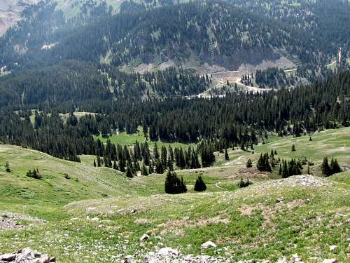
Looking back from the slope, Route 550 was visible.
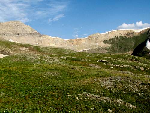
At around 12000 ft, the slopes became gentle and Peak 13510 ft came to view. Point 13106 ft was also visible in front of the peak.
First view of Peak 13510 ft & Point 13106 ft
Up the grassy slopes.
 Point 13268 ft | |  Trico Peak Ridgeline | |
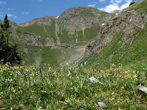
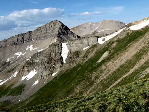
Trico Peak appeared from behind its eastern ridgeline. I had thought of going to the saddle between Trico & Peak 13510 ft but the slopes below the saddle seemed to be covered with nasty scree. Hiking toward Point 13106 ft seemed to be much more pleasant.
Trico Peak & saddle
Crossed the stream that drained the valley between Trico & 13510.
Trico & stream
Hiking toward Point 13106 ft.
The rocky/scree covered northeastern ridgeline of Trico Peak was now in full view.
Trico Peak
Point 13106 ft.
Point 13106 ft
Went up the grassy slopes of Point 13106 ft. Looking down the slopes.
Looking down
The double summit of Peak 13477 ft (T10) also came to view.
(L) Trico, (R) 13477
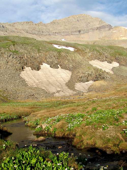
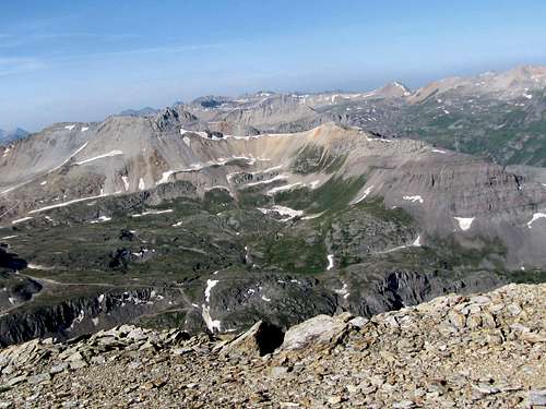
Above Point 13106 ft, there were only snow fields and gentle slopes covered by crushed rock. An easy hike took me to the summit.
Views from the summit: (I was on the summit at 8:20 a.m., everything to the east had the sun behind it so I did not take pictures in that direction).
Mt. Sneffels
Ingram Basin
Town of Telluride
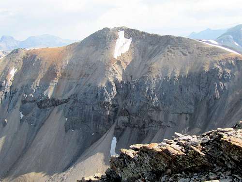
Dallas Peak/Mt. Sneffels
Telluride Peak
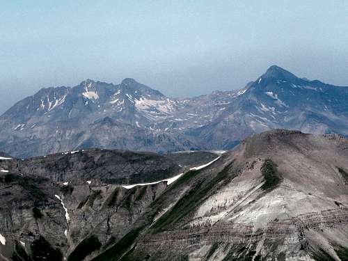
Zoomed view of the Wilsons
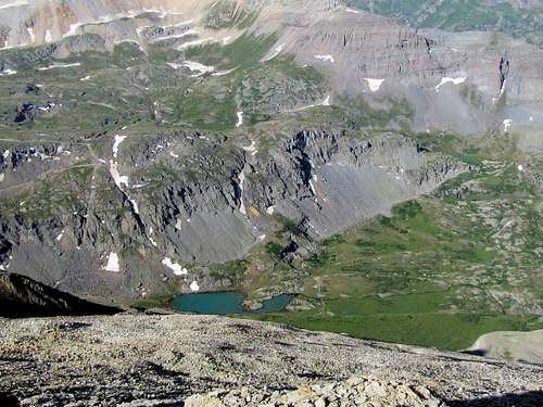
Ingram Lake
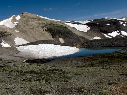
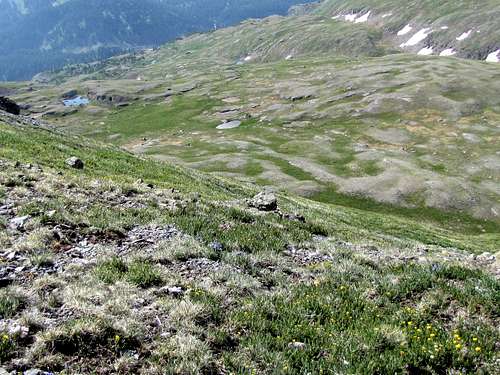
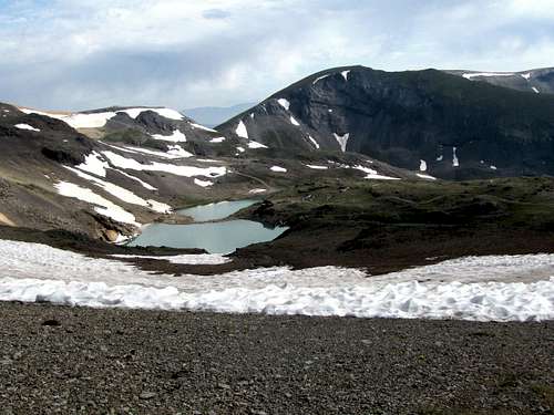
Hike to Ptarmigan Lake
Heading northeast, a 0.75 mile hike down easy slopes will take you from the summit of Peak 13510 ft to the 12939 ft Ptarmigan Lake. You will find many other small Lakes/ponds in that area.The northeastern face of Peak 13510 ft.
Peak 13510 ft
Ptarmigan Lake & Peak 13359 ft (T7).
Ptarmigan Lake & T7
Another pond with Point 13064 ft behind it.
Pond & 13064 ft horn
Point 13064 ft. This impressive horn is visible from Route 550 at the S curves south of Ironton Park.
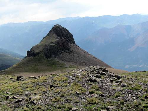
13064 ft horn
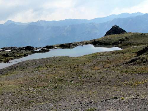
Peak 13510 & Telluride Peak from a pond near Ptarmigan Lake.
Peak 13510 ft (L) & Telluride Peak (R)
Yet another pond.