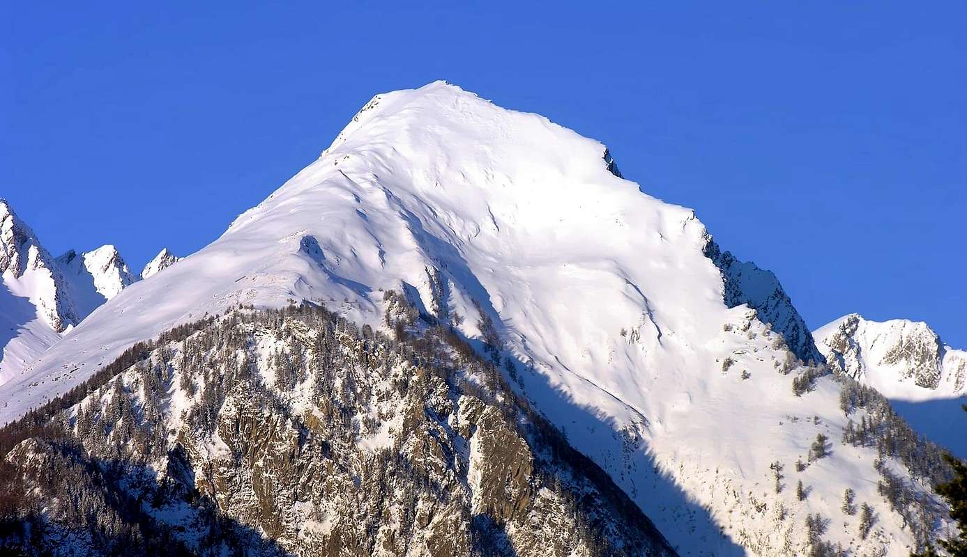
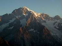
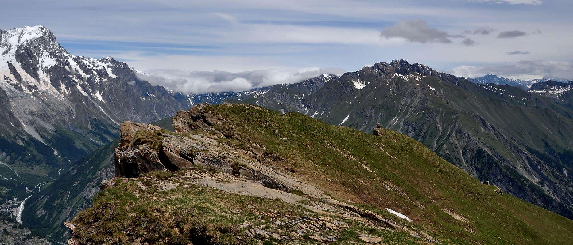
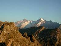
The Mont Crammont is an imposing mountain above Pré Saint Didier, a small town close to Courmayeur. To walk up to the summit there is only one route, the others are for climbers. The view from the top is magnificent, on the whole Monte Bianco Group; the summit is situated between the La Thuile Valley and the Central Valley, and there are only a few tops in the Aosta Valley, with such a wide view . Once on the top there was a refuge; now only a few stones show were it was. The Crammont was walked up for the first time from the scientist De Saussure, in the year 1774.
First Ascents
First ascent on the summit from Elévaz normal route: De Saussure, 1774.
North Side: G. Dumontel, M. Levi and U. Malvano, Aug. 18th, 1903.
East Gully: A. Pelloux and L. Mussillon, May. 15th, 1892.
In winter: Unknown.
Getting There
From Switzerland take the Gd. St. Bernhard Tunnel to get to Aosta. From France, Mont Bianco tunnel Motorway A5 Torino Aosta, coming either from Torino or from the Gd. St. Bernhard tunnel and exit Morgex. After turn left, direction Coumayeur, and in Pré Saint Didier follow the route to La Thuile-Piccolo San Bernardo. Pré Saint Didier is a nice small town, in summer full of flowers; after a couple of kilometers the view toward the Mont Bianco is very nice. Follow the road till the first group of houses after the gallery; the place is named Elevaz; on your right there is a small road that brings to Torrent; here you can park: afterwards, despite the road is asphalted for a few kilometers, the access is forbidden.
Red Tape
No restrictions or permits required.
When To Climb
The best period is from June to September; of course it depends on the season; sometimes even in October November. Ski mountaneering: ask locally, it is very very steep, and dangerous in case of fresh snow.
Difficulties
This route can be considered E.
L'itinerario è classificato E.
Equipment
Normal hiking gear.
Da escursionismo.
Campings
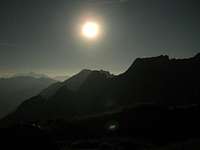
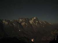
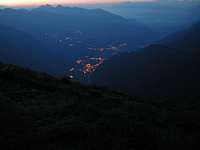
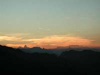
I camp with some friend of mine's exactly on the top, to view the sunrise on the Mont Bianco; we walked up night time in a night of full moon, and it was a really exciting experience; the light of the moon was enough to walk up even without a torch.
Mountain Conditions
You can get meteo information at the official site of the Regione Valle d'Aosta:
Children refers to the set of objects that logically fall under a given object. For example, the
Aconcagua mountain page is a child of the 'Aconcagua Group' and the 'Seven Summits.' The
Aconcagua mountain itself has many routes, photos, and trip reports as children.
Parents refers to a larger category under which an object falls. For example, theAconcagua mountain page has the 'Aconcagua Group' and the 'Seven Summits' asparents and is a parent itself to many routes, photos, and Trip Reports.

 8891 Hits
 86.85% Score
 23 Votes