-
 13358 Hits
-
 72.08% Score
-
 2 Votes
|
|
Trailhead |
|---|---|
|
|
46.11656°N / 114.49187°W |
|
|
Ravalli |
|
|
Summer, Fall |
|
|
5175 ft / 1577 m |
Climbers' Access to White's Mountain
Drive south from Hamilton, MT on Highway 93 for a little over 9 miles.
Turn right (west) onto Lost Horse Creek Road.
Drive almost 18 miles to the Lost Horse Guard Station where the road forks
Stay left, following the sign for Bear Creek Pass. (The right fork will take you to Twin Lakes).
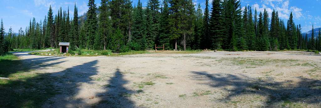
Drive another 1.2 miles to the camping and parking areas.
There is an outhouse available along with facilities for loading and unloading stock animals.
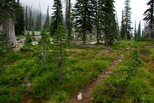
The trail is south-southeast of the outhouse and not easily visible until you’re close. It is marked with Forest Service signs.
Click on the links included with the picture's caption for information about the routes.
 |
|---|


