-
 6377 Hits
-
 74.92% Score
-
 5 Votes
|
|
Trailhead |
|---|---|
|
|
45.79602°N / 114.37°W |
|
|
Ravalli |
|
|
Spring, Summer, Fall |
|
|
5648 ft / 1722 m |
Access to Soda Springs Peaks
Follow the Nez Perce Road for 3.6 miles to the end of the pavement.
Turn right (west) 0.1 mile past the end of the pavement onto signed Soda Springs Road (FR 5635).
You will cross the Little West Fork (1.1 miles) then Soda Springs Creek (1.6 miles) on good bridges.
At 2.4 miles, stay right on FS Road 5635 (FR 13480 goes left).
You will pass a FS gate at approximately 3.5 miles slightly before the road swings back toward the east. The gate is closed between October 15th and June 15th.
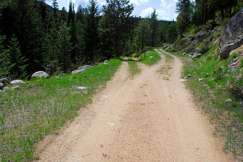
Pull off at the next switchback (approximately .8 mile past the gate where the road turns north) and park at the beginning of an abandoned logging road.
The trailhead is unmarked with room for parking only one or two vehicles.
The undefined route to the Soda Springs Peaks begins by proceeding directly east along the abandoned road for a short distance.
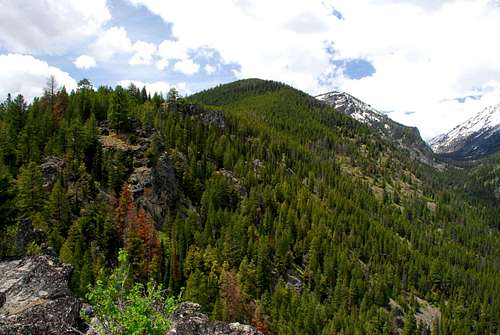
Click on the link in the picture's caption for information about these two peaks.
 |
|---|


