

-
 12658 Hits
-
 71.06% Score
-
 1 Votes
|
|
Trailhead |
|---|---|
|
|
46.35361°N / 114.23699°W |
|
|
Ravalli |
|
|
Spring, Summer, Fall, Winter |
|
|
4320 ft / 1317 m |
Climbers' Access to Totem Peak
Fred Burr Creek and Reservoir are named after Fred H. Burr, a horse and cattle trader who moved to the Bitterroot Valley from Salt Lake City, Utah, where he made money trading with emigrants moving along the Oregon Trail.From the North
From US Highway 93 proceed west on Bear Creek Road (about 3 miles south of Victor) for 2.3 miles where it “tees” into Red Crow Road.
Turn left (south) onto Red Crow Road and follow the road as it makes a 90 degree turn to the west.
Go straight (west) at the 4-way stop onto the gravel, Fred Burr Road.
The road dead-ends at the trailhead loop in a little under 2 miles.
From the South
Two miles north of the Woodside Cutoff on US Highway 93 turn left (west) onto Sheafman Creek Road (quickly becomes Bourne Lane).
Go west for a little over 2 miles and turn right (north) onto Red Crow Road.
Continue north until you reach a "tee" intersection then turn right (west) onto Fred Burr Road.
The road dead-ends at the trailhead loop in a little under 2 miles.
The trailhead has restroom facilities and parking for 10 or so cars, trucks, and stock trailers.
This trailhead is designated for day use only, however I have left my car here for extended trips. Use caution leaving valuables in your car - out of sight out of mind.
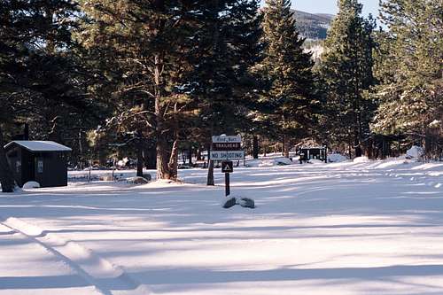 You're Here!
External Links
For information about the climbers' route accessed from this trailhead, see the link included in the picture's description. 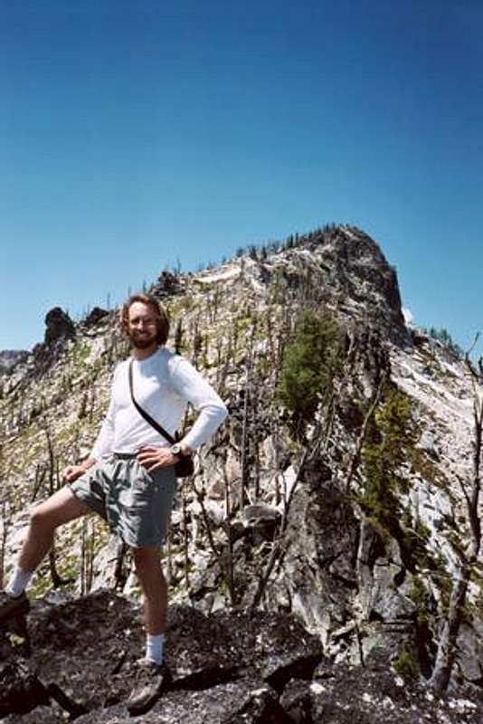 En route to the Totem Peak summit. En route to the Totem Peak summit. |
|---|