-
 3134 Hits
-
 71.06% Score
-
 1 Votes
|
|
Trailhead |
|---|---|
|
|
46.06163°N / 114.26732°W |
|
|
ravalli |
|
|
Spring, Summer, Fall |
|
|
5450 ft / 1661 m |
Climbers' Access to Koch Mountain
On US Highway 93, go about 12 miles south of Hamilton, MT, and turn right (west) onto Lake Como Road. Follow the road to a marked junction. Stay right (west) at, following the sign for the swimming area.
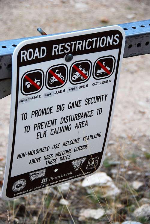
Drive uphill on FR 5621 until you see a gated road on the left, about .6 miles. This road is closed to vehicle traffic from September 1st to June 15th to provide secure habitat for big game animals.
Turn left (southwest) onto FR 5623, a well-maintained gravel road, and follow it all the way to its end. Approximately 3.7 miles from the gate.
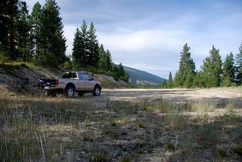
There is a large parking area at this unofficial trailhead.


