-
 11091 Hits
-
 71.06% Score
-
 1 Votes
|
|
Trailhead |
|---|---|
|
|
46.62250°N / 114.14729°W |
|
|
Ravalli |
|
|
Spring, Summer, Fall, Winter |
|
|
5888 ft / 1795 m |
Climbers' Access to Sweeney Peak & Pyramid Buttes
 |
|---|
Turn right (north) onto FR 1315 following the signs to Sweeney Creek Ridge Trail. Drive nearly six miles to the end of the road.
There are no restroom facilities. Parking space is limited, so arrive early, especially on weekends. In the winter one can simply drive to the snow-line and park on the side of the road.
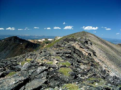
For information about the climbers' route accessed from this trailhead, see the link included in the picture's description.

