-
 4259 Hits
-
 71.06% Score
-
 1 Votes
|
|
Trailhead |
|---|---|
|
|
46.82625°N / 114.26856°W |
|
|
Ravalli |
|
|
Spring, Summer, Fall, Winter |
|
|
5248 ft / 1600 m |
Climbers' Access for Boulder Point & Boulder Peak
From the south side of Darby, MT, drive south about 4 miles on Hwy 93 and turn right (west) onto Montana 473, also known as the West Fork Road. Drive to just past mile marker 13 and turn right (northwest) onto Barn Draw Road (373), the second road on your right after mile marker 13.
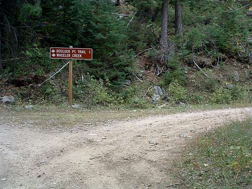
Continue on Barn Draw Road for almost 2 miles to a signed junction and turn right (northeast) following the sign for Boulder Point Trailhead. The road will end at the trailhead in just over a mile.
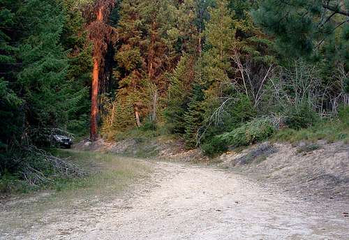
The trailhead is now marked. There is parking for several vehicles, but no restroom facilities.
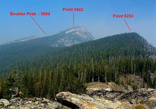
For information about the climbers' routes accessed from this trailhead, see the links included in the following pictures' descriptions.
|
|
|---|


