-
 8687 Hits
-
 71.06% Score
-
 1 Votes
|
|
Trailhead |
|---|---|
|
|
45.82957°N / 114.25146°W |
|
|
ravalli |
|
|
Spring, Summer, Fall, Winter |
|
|
4512 ft / 1375 m |
Climbers' Access for Boulder Peak North & Mink Peak
According to Than Wilkerson, Boulder Creek was named for the large boulders in the creek prior to 1886. The name appears on Lieberg's 1898 map and on the 1897 and 1909 General Land Office Survey plats.
From the south side of Darby, MT, drive south about 4 miles on Hwy 93 and turn right (west) onto Montana 473, also known as the West Fork Road.
Shortly after mile marker 13, turn right (west) onto Boulder Creek Road (5631) which is marked by a sign for the Sam Billings Campground.
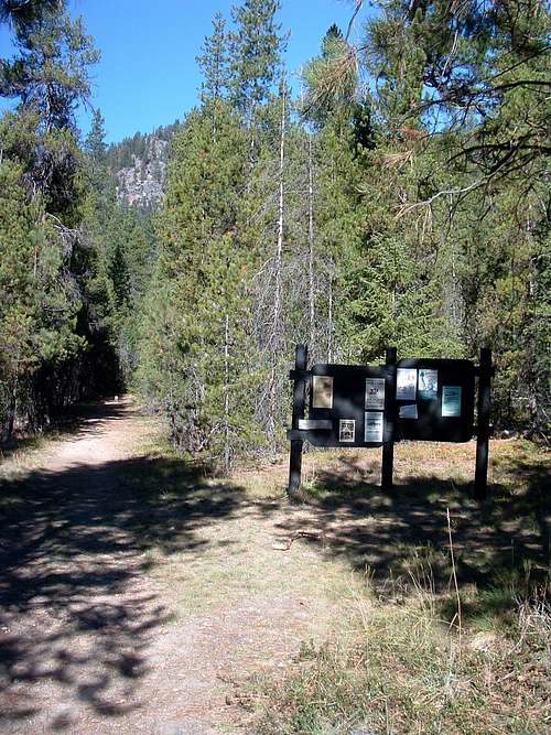
Follow the road for 1.3 miles to the trailhead just past the Sam Billings Memorial Campground.
The is a large parking area in addition to stock handing facilities.
An outhouse is available at the end of the campground nearest the trailhead.
The trail heads in a northwesterly direction from the far end of the parking area.


